
Camping in Canberra
11 campgrounds · 1 with powered sites · 1 with showers · 1 with a dump point · 2 with tent sites
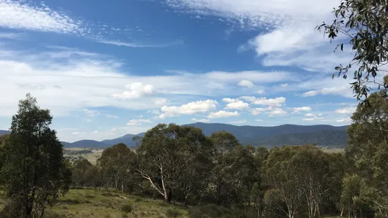
Canberra is a city with the mountains on its doorstep. The Brindabella Range rises to the west, and Namadgi National Park, about 40 km south-west of the city, covers nearly half of the ACT and runs all the way down to Kosciuszko, so a weekend here can be museums one day and wombats the next.
Where is the best place to camp in Canberra?
The camping splits between the city and the mountains. In town, Canberra Holiday Village at Symonston has powered sites and is close to Fyshwick. In the mountains, Namadgi has car camping at Honeysuckle, Orroral and Mount Clear, and in the Cotter area, the bush camps sit in the foothills of the Brindabellas.
What is there to do in Canberra with kids?
In the city, the Museum of Australian Democracy in Old Parliament House, the National Film & Sound Archive and the Australian National Botanic Gardens are all worth a morning, and the Canberra Railway Museum is in Fyshwick. For older kids on bikes, Stromlo Forest Park, about 15 minutes from the city, has more than 50 km of mountain bike trails, a pump track and BMX jumps. Out in Namadgi, kangaroos, wallabies and wombats are part of the scenery.
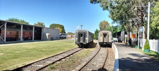
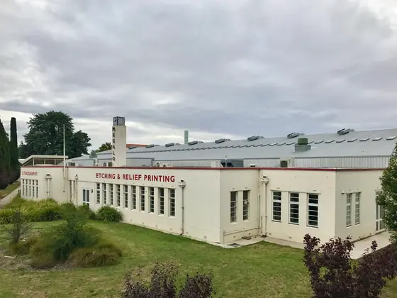
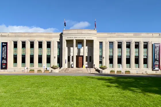
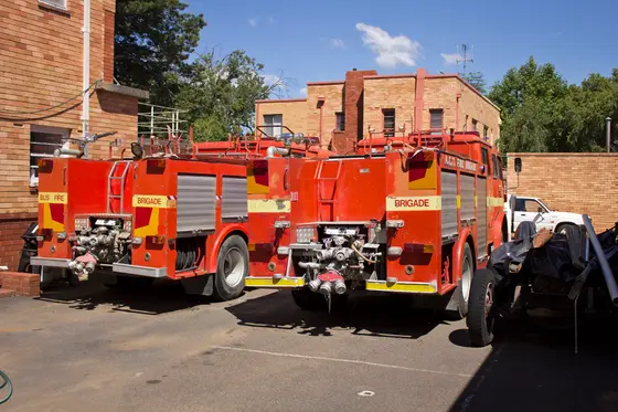
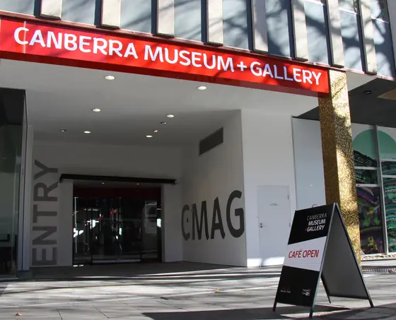
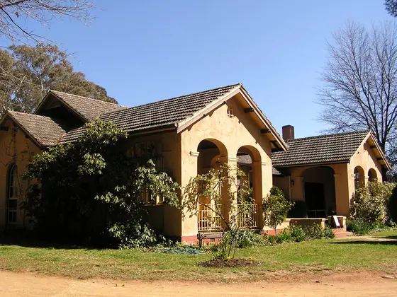
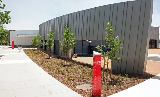

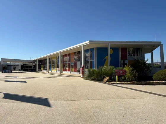
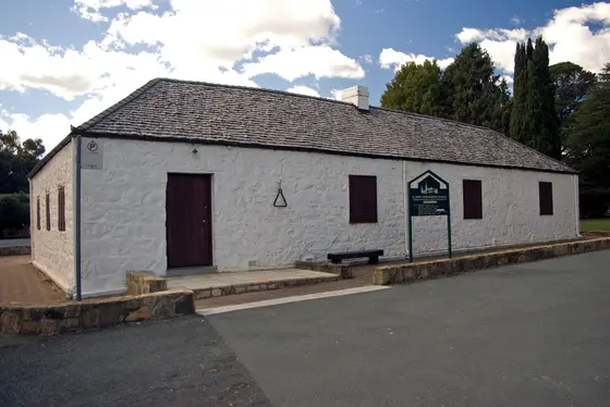
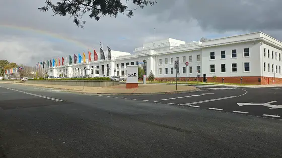
Tap a card for the full page. Every outing is on the map below too. Distances are in a straight line, so the drive is a little longer.
What are the best walks and waterfalls in Canberra?
Namadgi has hundreds of kilometres of walking tracks. The Yankee Hat trail leads to an Aboriginal rock art site, and Bimberi Peak, at 1,911 metres, is the highest point in the ACT. Closer to the city, Gibraltar Falls is nearer the city, and Black Mountain and Mount Pleasant have lookouts over Canberra.
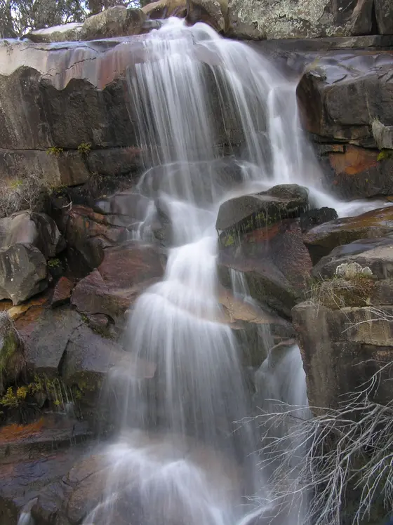
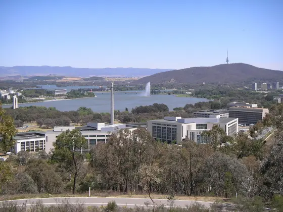
When is the best time to go camping in Canberra?
The mountains get cold: snow is common on the Brindabella Range in winter, and 4WD or chains may be needed. Mountain weather in Namadgi can change without warning at any time of year, and mobile reception is unreliable in much of the park, so check conditions before you head up.
Do you need to book campsites in Canberra?
Yes. Bush campsites in Namadgi and the Cotter area are booked through Parks ACT, bookings are essential, and there is a seven-night limit.
Are there powered sites in Canberra?
Yes. One campground here has powered sites confirmed: Canberra Holiday Village. For the rest we are still confirming, so check with the park or holiday park before you book a powered site.
How far is Namadgi National Park from Canberra?
Namadgi is about 40 km south-west of the city, and Stromlo Forest Park is about 15 minutes' drive from the CBD.
Facts from Parks ACT, Namadgi National Park, Parks ACT, where to stay, Wikipedia, "Namadgi National Park" (CC BY-SA 4.0), Wikipedia, "Stromlo Forest Park" (CC BY-SA 4.0) and Wikipedia, "Brindabella Range" (CC BY-SA 4.0).
Map of campgrounds in Canberra
✓ Campgrounds
✓ Things to do
✓ Walks and nature
Entry tickets
Affiliate link: we may earn a commission at no extra cost to you.
National Dinosaur Museum
11 campgrounds
Those with the most confirmed facilities first. A missing facility means nobody has confirmed it, not that it is absent.
Campground · O'Connor, ACT
Alivio Tourist Park
Caravan and RV sites · Showers · Toilets · Wi-Fi
Alivio Tourist Park is a caravan park in O'Connor, ACT. OpenStreetMap records 4 facilities. Check availability and current conditions before you travel.
Campground · ACT Remainder - Coree, ACT
Blue Range Campground
Tent sites · Caravan and RV sites
Blue Range Campground is a campground near ACT Remainder - Coree, ACT. OpenStreetMap records 2 facilities. Check availability and current conditions before you travel.
Campground · Symonston, ACT
Canberra Holiday Village
Powered sites · Dump point
Canberra Holiday Village is a caravan park in Symonston, ACT. OpenStreetMap records 2 facilities. Check availability and current conditions before you travel.
Campground · Paddys River, ACT
Woods Reserve Recreation Area
Tent sites · Pets allowed
Woods Reserve Recreation Area is a campground in Paddys River, ACT. OpenStreetMap records 2 facilities. Check availability and current conditions before you travel.
Campground · Stromlo, ACT
Camp Cottermouth
No facilities confirmed yet.
Camp Cottermouth is a campground in Stromlo, ACT. Its facilities have not been confirmed. Check availability and current conditions before you travel.
Campground · Lyneham, ACT
Exhibition Park (epic) Camping Ground -
No facilities confirmed yet.
Exhibition Park (epic) Camping Ground - is a campground in Lyneham, ACT. Its facilities have not been confirmed. Check availability and current conditions before you travel.
Campground · ACT Remainder - Rendezvous Creek, ACT
Honeysuckle Campground
No facilities confirmed yet.
Honeysuckle Campground is a campground near ACT Remainder - Rendezvous Creek, ACT. OpenStreetMap records 0 facilities. Check availability and current conditions before you travel.
Campground · Symonston, ACT
Narrabundah Long Stay Caravan Park
No facilities confirmed yet.
Narrabundah Long Stay Caravan Park is a caravan park in Symonston, ACT. Its facilities have not been confirmed. Check availability and current conditions before you travel.
Campground · Sutton, NSW
Northern Border Campsite
No facilities confirmed yet.
Northern Border Campsite is a campground in Sutton, NSW. Its facilities have not been confirmed. Check availability and current conditions before you travel.
Campground · ACT Remainder - Kowen, ACT
Old Kowen Homestead Camping Area
No facilities confirmed yet.
Old Kowen Homestead Camping Area is a campground near ACT Remainder - Kowen, ACT. OpenStreetMap records 0 facilities. Check availability and current conditions before you travel.
Campground · Booth, ACT
Orroral Campground - Namadgi NP
No facilities confirmed yet.
Orroral Campground - Namadgi NP is a campground in Booth, ACT. Its facilities have not been confirmed. Check availability and current conditions before you travel.
Region boundary: ABS ASGS Edition 3 Tourism Regions 2021 (Tourism Research Australia), CC BY 4.0. Campgrounds and facilities from OpenStreetMap contributors (ODbL), the operators’ own listings, and the state park services’ open data: © State Government of NSW and NSW Department of Climate Change, Energy, the Environment and Water 2017 (CC BY 4.0); contains data sourced from the Department of Energy, Environment and Climate Action, Victoria (CC BY 4.0); © State of Tasmania, Parks and Wildlife Service (CC BY 3.0 AU); Main Roads Western Australia road stopping places (CC BY 4.0).