
Our day in the Daintree: the ferry, the Discovery Centre, Thornton Beach and Mossman Gorge
Our visit, October 2026 · Photos: Little Places
The Daintree was our longest day. We drove north from Cairns in the hire car, and it is a long way, so leave early.
Cairns to the Daintree River ferry is about 100 kilometres. Roughly an hour and forty minutes.
The car ferry runs from 5am to midnight. We hardly waited.
That's not always the case. Douglas Shire's mayor has said peak waits can reach two hours, with traffic queued back towards the highway.
The council's own figures put the northbound rush at roughly 9am to noon. Heading south, it's about 1pm to 6pm.
Our first stop over the river was the Daintree Discovery Centre at Cow Bay. It's open from 9am to 5pm daily.
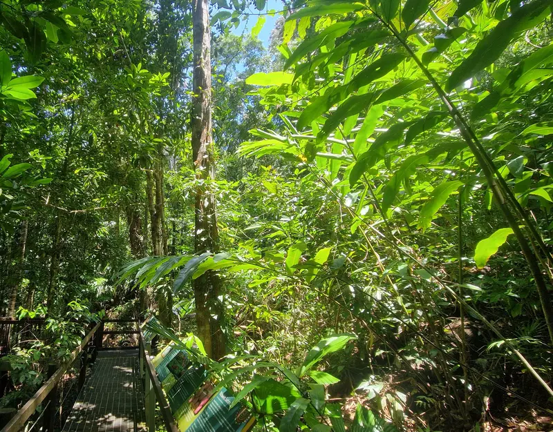
Into the rainforest.
It's a good first stop with kids. Raised boardwalks wind through the forest, with signs explaining what you're looking at.
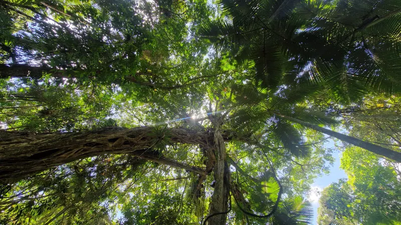
Straight up.
There's also an aerial walkway and a canopy tower. You see the rainforest from the forest floor right up to the treetops.
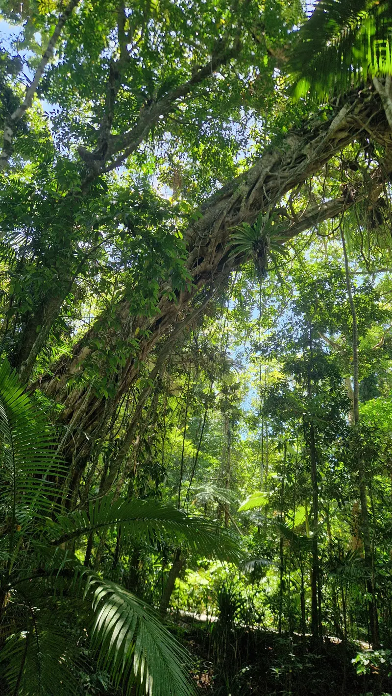
Ferns on ferns.
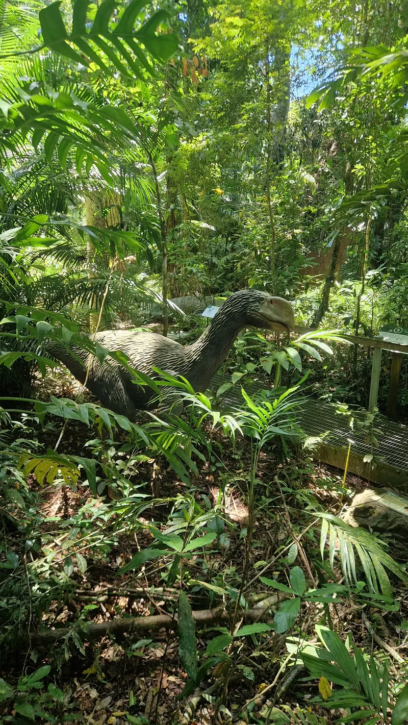
Not one you'll see on the drive.
Along the boardwalk is a life-size model of a giant prehistoric bird. Dinosaur-mad kids will want a photo.
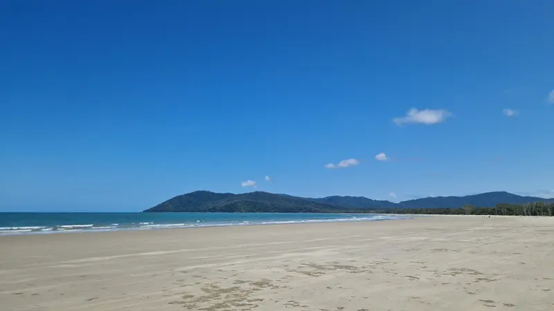
Thornton Beach at low tide.
Then Thornton Beach. Long, quiet and almost empty, with rainforest running right down to the sand.
There's not much official parking. Plenty of people just pull over along the road.
There's a restaurant on the beach, but we'd brought lunch.
This is croc and stinger country. Queensland Parks says never swim where crocodiles may live. We walked the beach.
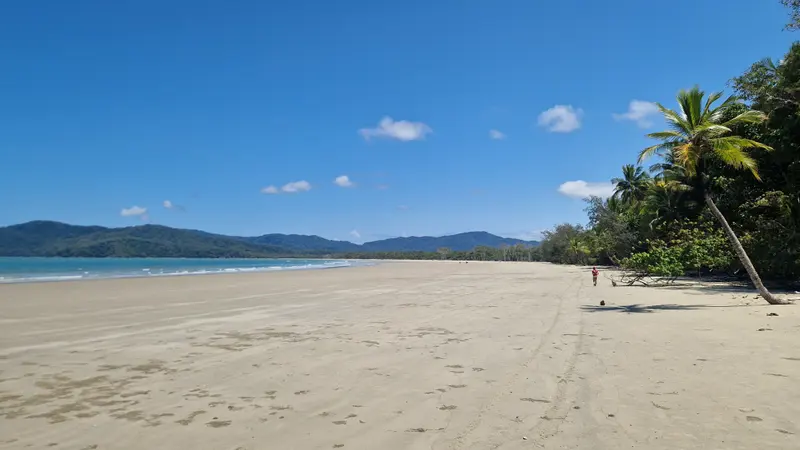
A palm leaning out over the sand.
We'd been on cassowary watch the whole trip. Every patch of roadside rainforest, everyone peering out the windows.
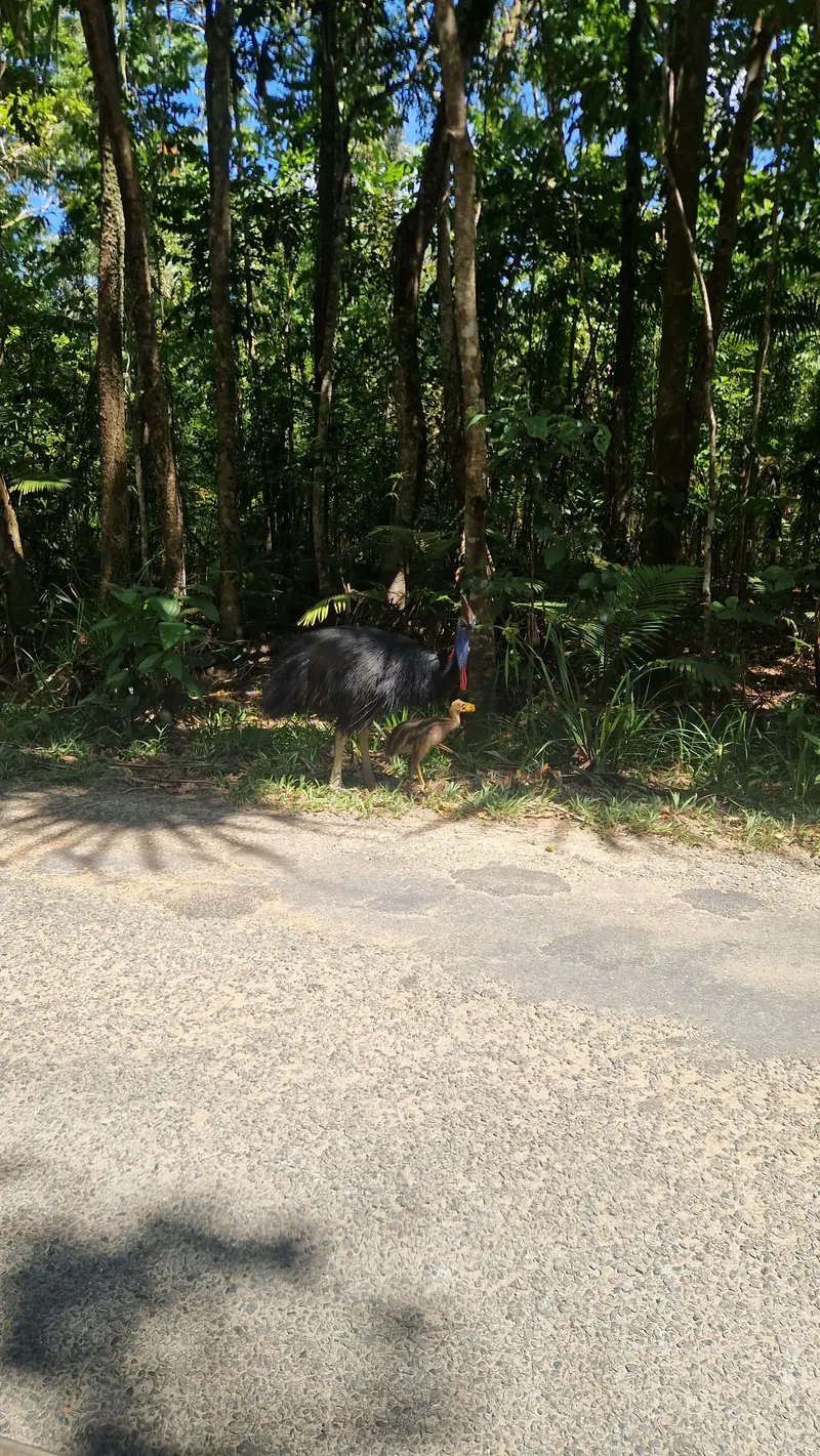
Finally.
Then, on the drive back from the beach, there they were. An adult and its striped chick, standing at the edge of the road.
Everyone was so excited. It was the highlight of our whole trip.
Drive slowly through here. Queensland Parks says it's illegal to feed cassowaries, and they can cause serious injuries with their clawed feet.
Back over the river, we stopped at Mossman Gorge. You park at the Mossman Gorge Centre and catch a shuttle bus up. There's no footpath along the road.
The shuttle runs every 15 minutes from 8am. Check the closing time if you're running late.
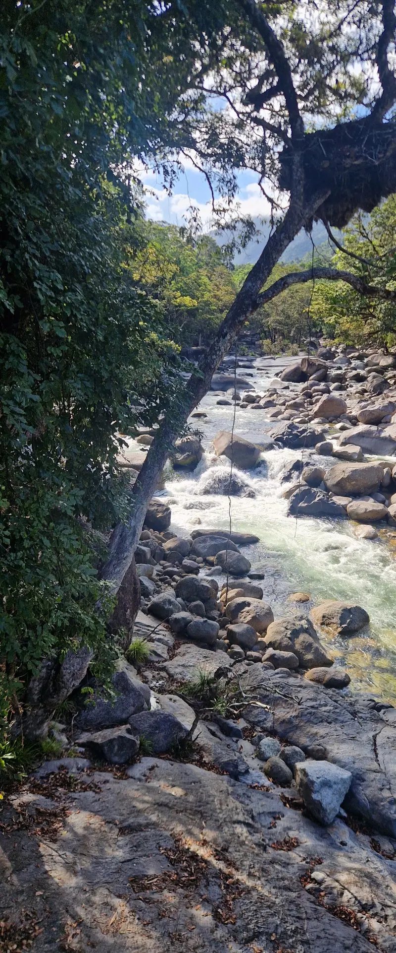
The Mossman River over granite boulders.
From the bus stop, the Baral Marrjanga boardwalk is a 270-metre walk to a lookout over the river. Parts of it are wheelchair accessible.
Honestly, it felt a bit commercialised. For us, it's only worth it if the kids want to swim.
If they do, know the facts first. The Mossman Gorge Centre doesn't recommend swimming here, and Queensland Parks says people have died in the river.
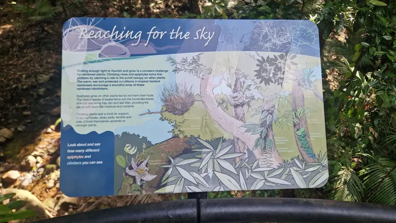
Climbers reaching for the light.
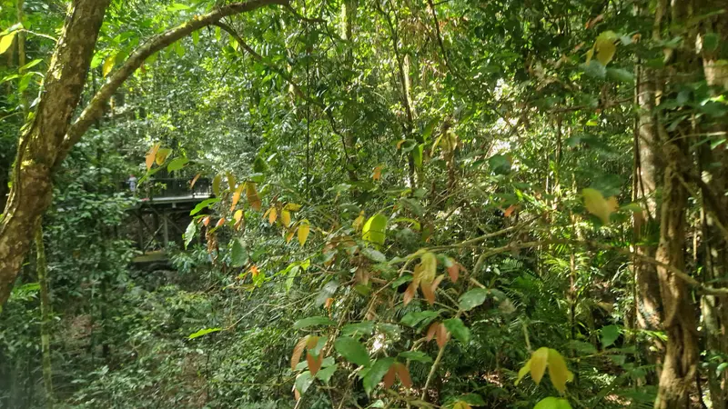
Along the walks.
Wear closed shoes and stay on the tracks. Stinging trees grow along some of them.
From Mossman Gorge it's about 75 kilometres back to Cairns, around an hour and a quarter. All up, allow around five hours in the car, plus the ferry.
Check the ferry and road conditions with Douglas Shire Council before you go, especially after heavy rain.
Details from Daintree Discovery Centre, Queensland Parks: Daintree visiting safely, Mossman Gorge Centre: safety information, Mossman Gorge Centre: self-guided walks, Queensland Government: cassowary alert, Daintree River Ferry, Cairns Local News: ferry wait times (August 2025), Douglas Shire Council: Daintree ferry receipting trial (peak times) and Daintree Coast: Thornton Beach. Check times and prices with each operator before you go.