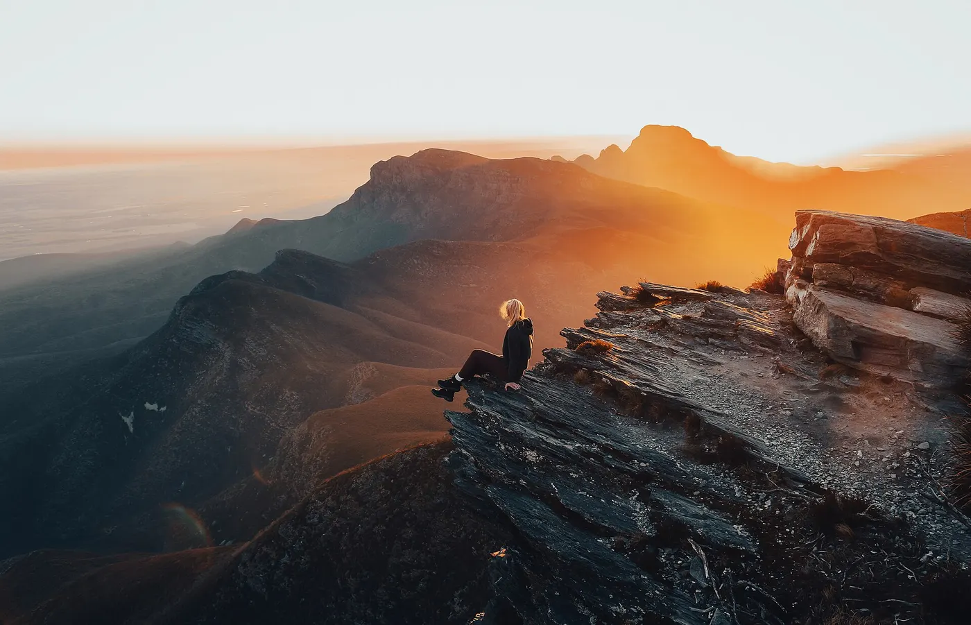
Bluff Knoll walk
Walk · Stirling Range National Park · Australia's South West, WA
Photo: SamJeffs1, CC BY-SA 4.0, via Wikimedia Commons
Bluff Knoll in Stirling Range National Park is the highest peak in the south-west of Western Australia at 1,095-1,098 metres.
The Bluff Knoll walk is a 6.8km return, grade 4 trail with steep sections and numerous steps to the summit, with 360-degree views.
Bluff Knoll is one of the few places in Western Australia where it occasionally snows.
From Parks and Wildlife WA.
Closest campgrounds
Stirling Range Retreat
Amelup · 9 km away in a straight line
ALBANY LAKE GRACE ROAD HEAVY VEHICLE TRUCK BAYS
Stirling Range National Park · 13 km away in a straight line
Mount Trio Bush Camping & Caravan Park
North Stirlings · 19 km away in a straight line
Borden Rest Area
Borden · 34 km away in a straight line
Bush Park
Wellstead · 35 km away in a straight line
More walks and nature nearby
Location from OpenStreetMap contributors (ODbL). Distances are in a straight line, so the drive or walk is longer. Check the park’s own site for track closures and conditions before you go.