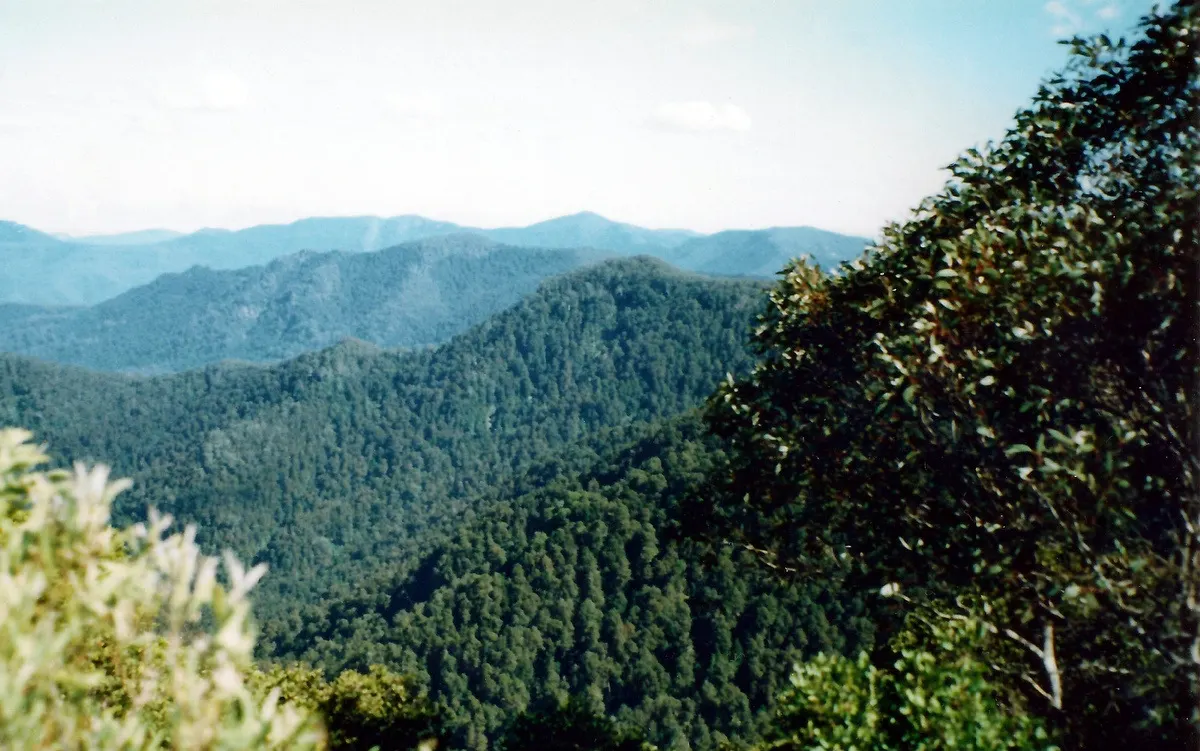
Careys Peak walk
Walk · Barrington Tops National Park · Hunter, NSW
Photo: Poyt448 Peter Woodard, CC BY-SA 3.0, via Wikimedia Commons
Named walking tracks in Barrington Tops National Park include Antarctic Beech Forest, Gloucester Falls, Rocky Crossing, Polblue Swamp, Burraga Swamp, Edwards Swamp, Careys Peak and the Blue Gum loop trail, which crosses a bridge over the Williams River.
Lookouts in the park include Thunderbolts lookout, Careys Peak lookout and Devils Hole lookout, and Gloucester Falls and a waterfall on the Rocky Crossing walk are among its waterfalls.
From NSW National Parks.
Closest campgrounds
Wombat Creek camp
Barrington Tops · 2 km away in a straight line
Black Swamp camp
Barrington Tops · 2 km away in a straight line
Junction Pools campground
Barrington Tops · 3 km away in a straight line
Little Murray campground
Barrington Tops · 8 km away in a straight line
White Rock Camping Area
Upper Allyn · 8 km away in a straight line
More walks and nature nearby
Location from OpenStreetMap contributors (ODbL). Distances are in a straight line, so the drive or walk is longer. Check the park’s own site for track closures and conditions before you go.