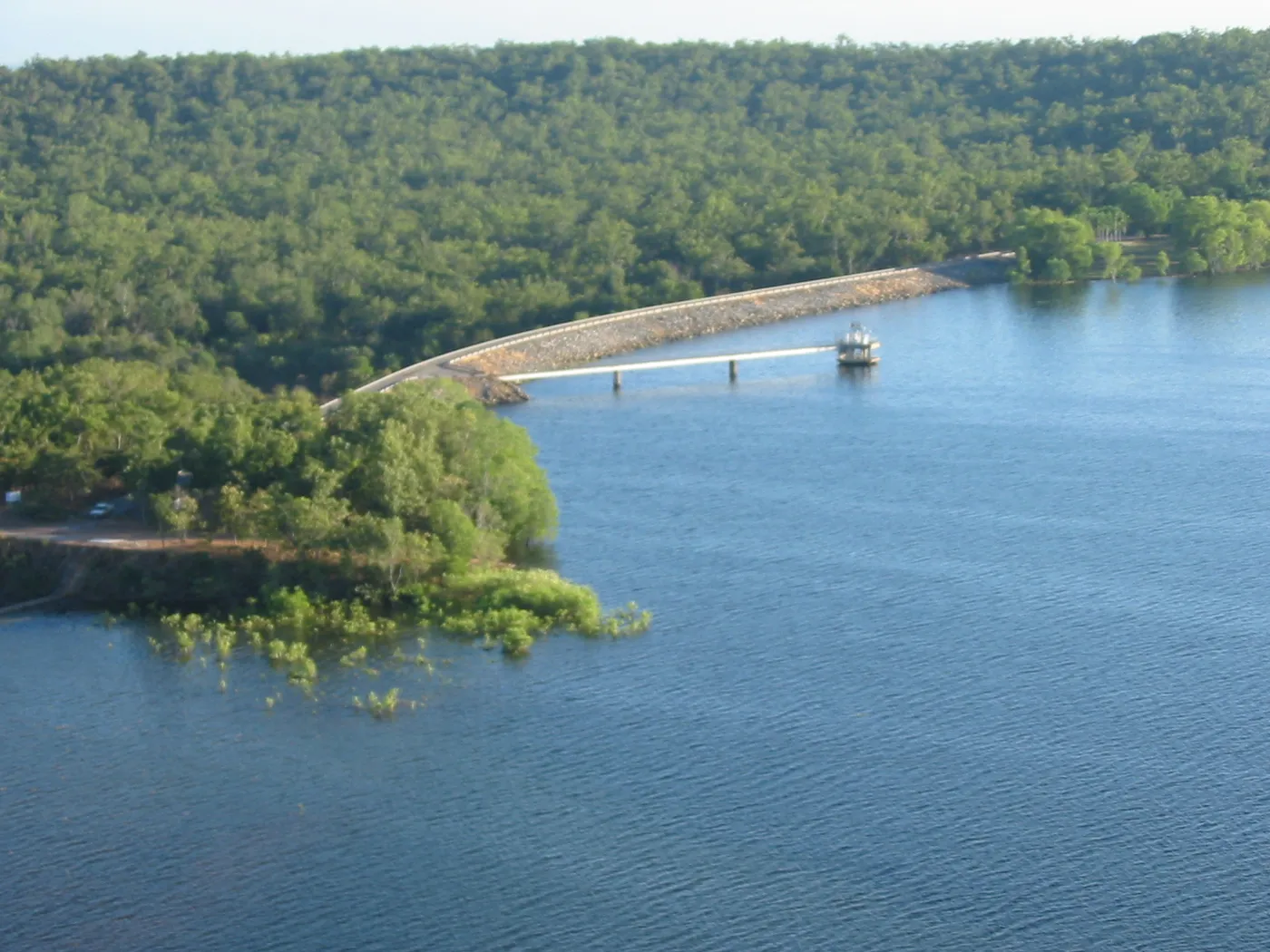
Darwin River Dam
Lookout · Darwin, NT
Photo: Ken Hodge, CC BY 2.0, via Wikimedia Commons
Howard Springs is a rural locality about 29 km southeast of the Darwin CBD, named after a natural spring, with European settlement dating from 1864.
Coolalinga is an outer suburban commercial hub about 29 km southeast of central Darwin and about 10 km southeast of Palmerston, within the Litchfield local government area.
Lee Point is a coastal suburb about 18 km from Darwin City, part of a 27-kilometre coastal biodiversity corridor with sandy beaches, tidal flats, mangroves and monsoon forest, and forms part of the Casuarina Coastal Reserve.
Closest campgrounds
Tumbling Waters Holiday Park
Tumbling Waters · 7 km away in a straight line
Coolalinga Caravan Park
Coolalinga · 35 km away in a straight line
Oasis Tourist Park
Virginia · 36 km away in a straight line
BIG4 Howard Springs Holiday Park
Howard Springs · 37 km away in a straight line
Hidden Valley Tourist Park
Berrimah · 44 km away in a straight line
More walks and nature nearby
Location from OpenStreetMap contributors (ODbL). Distances are in a straight line, so the drive or walk is longer. Check the park’s own site for track closures and conditions before you go.