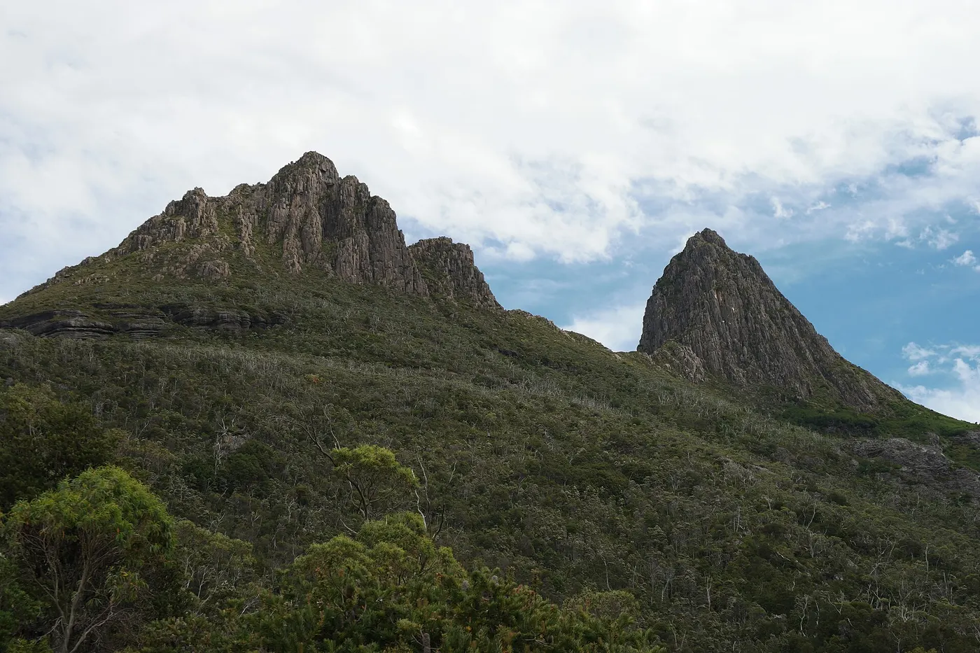
Overland Track
Walk · Cradle Mountain-Lake St Clair National Park · North West, TAS
Photo: Dhx1, CC0, via Wikimedia Commons
North West Tasmania stretches along the Bass Strait coast from Devonport through Wynyard and Stanley to remote Arthur River, and inland to Cradle Mountain
Cradle Mountain-Lake St Clair National Park, inland from the coast, is a 1,614 sq km national park established in 1922 and is the start of the well-known Overland Track
Cradle Mountain-Lake St Clair National Park covers 1,614 sq km in Tasmania's Central Highlands and was established in 1922.
Closest campgrounds
Discovery Parks - Cradle Mountain
Cradle Mountain · 12 km away in a straight line
Lake Lea
Middlesex · 18 km away in a straight line
Wings Camping Grounds
Gunns Plains · 47 km away in a straight line
Pioneer Park Camping Ground Riana
Riana · 52 km away in a straight line
BIG4 Ulverstone Holiday Park
Ulverstone · 62 km away in a straight line
More walks and nature nearby
Location from OpenStreetMap contributors (ODbL). Distances are in a straight line, so the drive or walk is longer. Check the park’s own site for track closures and conditions before you go.