Things to do with kids in Litchfield, Kakadu & Arnhem Land

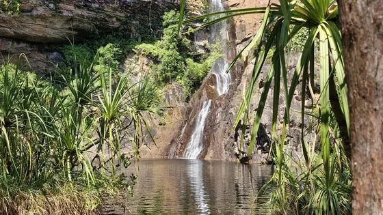
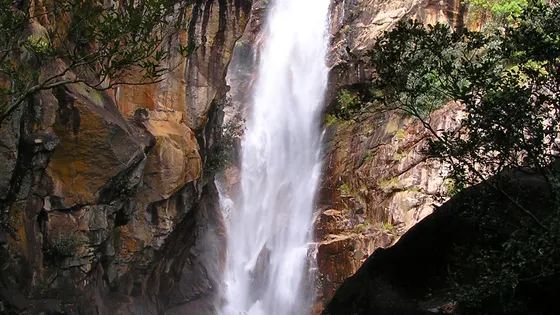
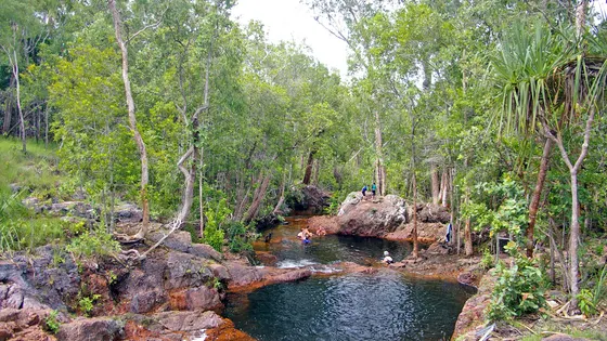
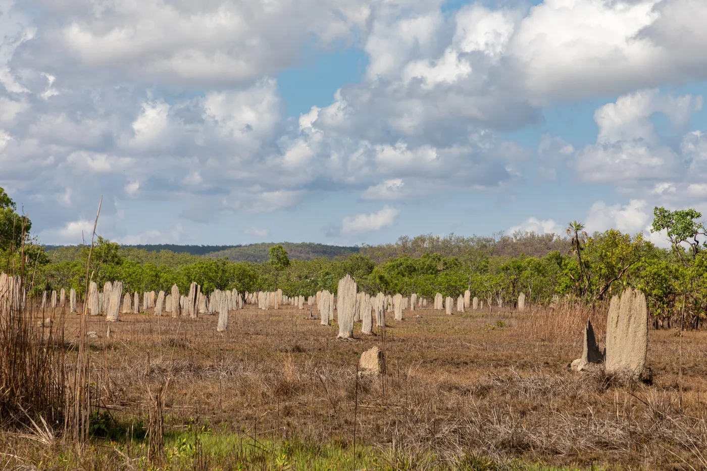
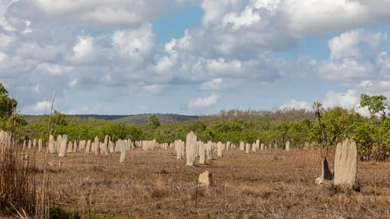
Litchfield is an easy day from Darwin. Kids are fascinated by the Magnetic Termite Mounds, hundreds of thin mounds all lined up north to south, with a boardwalk through them. The waterfalls are beautiful, and they are best enjoyed on foot. The paved path to Tolmer Falls takes prams, and short forest walks lead to Florence Falls and the base of Wangi Falls, which has a big lawn and a cafe for lunch.
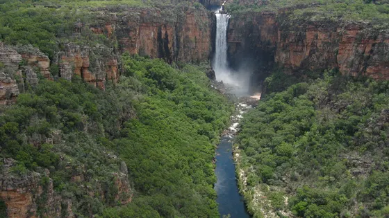
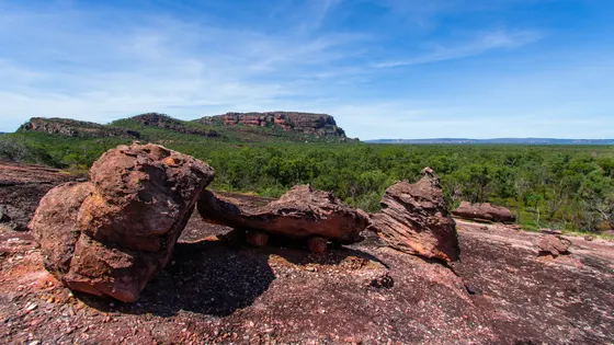
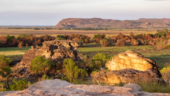
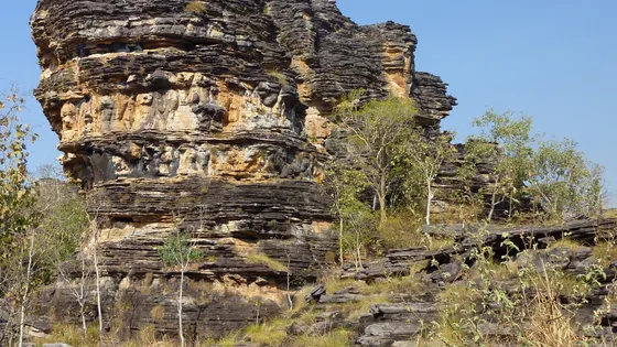
Kakadu is bigger, and best over a few days. At Ubirr, an easy loop passes rock paintings of fish, turtles and even a thylacine, and a short steep climb leads to a lookout over the floodplain. At Burrungkuy, kids can find the lightning man painted on the rock.
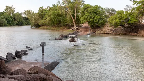
The Yellow Water cruise is the best way to see crocodiles and birds up close. From September, crocodiles gather at Cahills Crossing to catch fish, and you watch from the platforms. In Kakadu, crocodiles can be anywhere there is water, so keep kids well back from the edge.
52 family outings, waterfalls and walks across the region, sorted by drive time from Batchelor. Choose your suburb at the top to sort from where you are staying.

Top things to do in Litchfield & Kakadu
Magnetic Termite Mounds
Read the compass in the Magnetic Termite Mounds
Hundreds of thin mounds, some two metres high and up to 100 years old, point their edges north to south. Accessible boardwalks lead through the viewing area just off Litchfield Park Road, 35km from Batchelor. Bigger Cathedral Termite mounds stand nearby at an information shelter.
about 30 min
Lookout · Magnetic Termite Mounds
Photo: Dietmar Rabich, CC BY-SA 4.0
Florence Falls
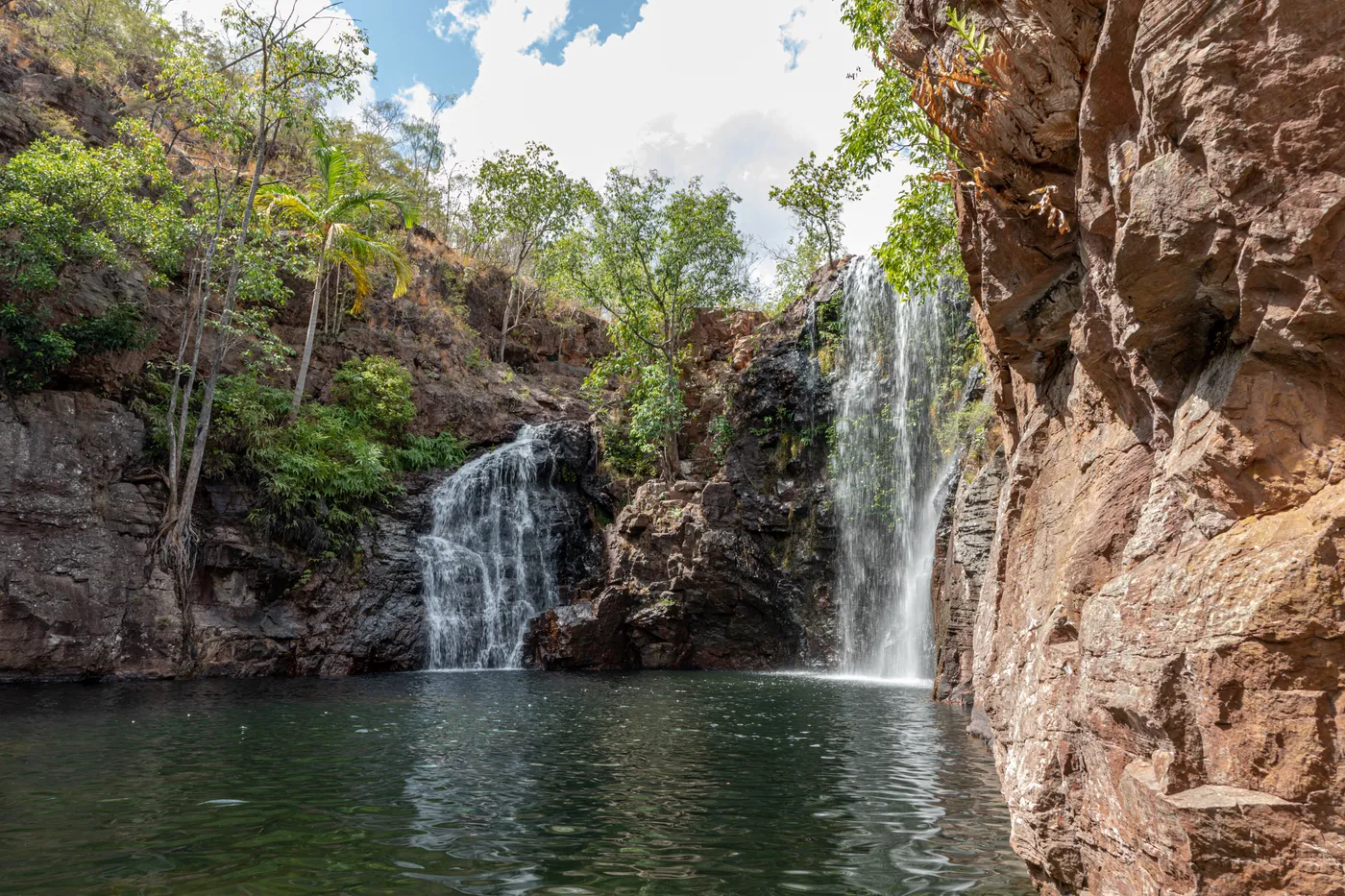
Walk Shady Creek down to Florence Falls
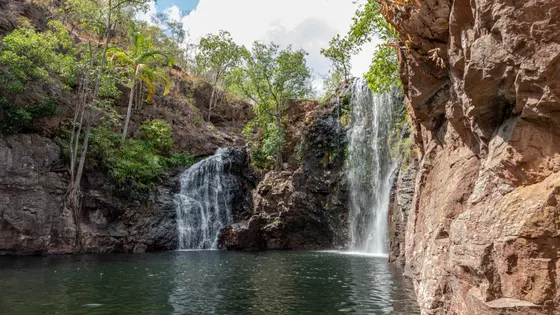
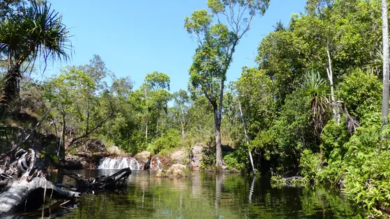
Florence Falls flows all year and is at its most spectacular in the wet season and the start of the dry. Begin at the Florence Falls lookout, then take the 1km Shady Creek walk through monsoon forest, about 30 minutes with 160 stairs. Parks NT can close Litchfield's swimming holes in the wet when saltwater crocodiles may move in, so enjoy these falls on foot.
about 35 min
Waterfall · Florence Falls
Photo: Dietmar Rabich, CC BY-SA 4.0
Wangi Falls
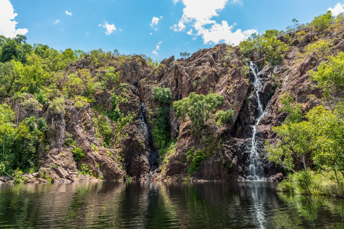
Walk to the foot of Wangi Falls
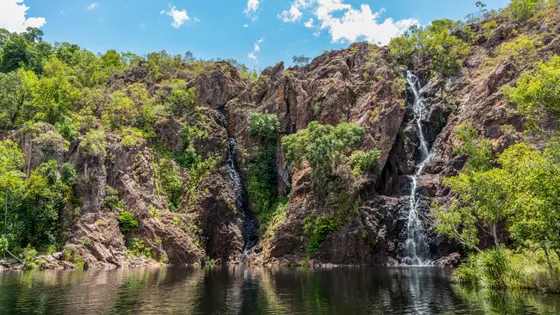
Wangi Falls flows all year, and a big grassy picnic area with tables sits beside the car park. The 1.6km loop climbs through monsoon forest to a viewing platform at the base of the falls; allow an hour. Swimming was closed for crocodile management on 8 October 2026, and the cafe serves hot and cold food under cover.
about 45 min
Waterfall · Wangi Falls
Photo: Dietmar Rabich, CC BY-SA 4.0
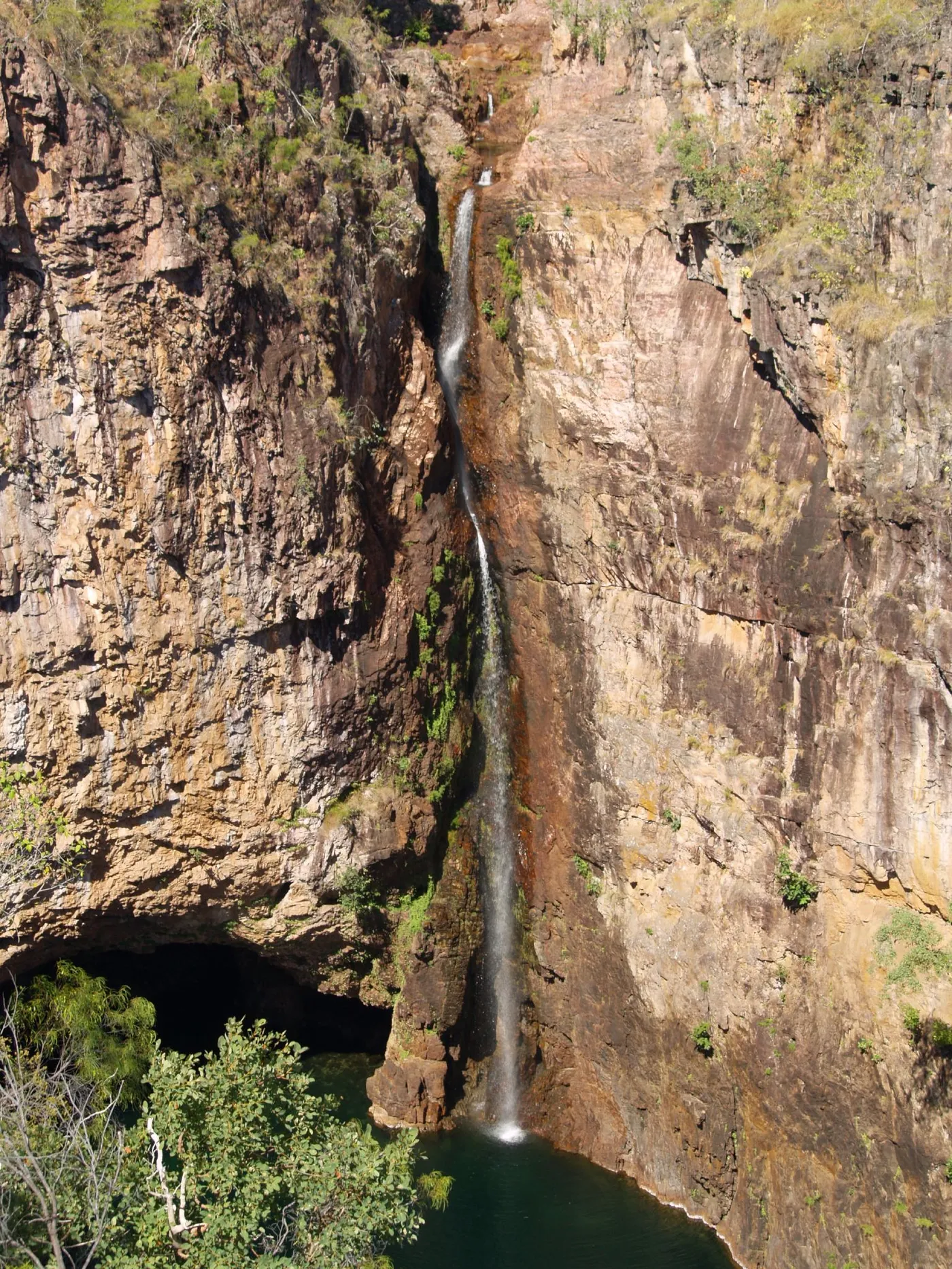
Tolmer Falls
Wheel the pram to the Tolmer Falls platform
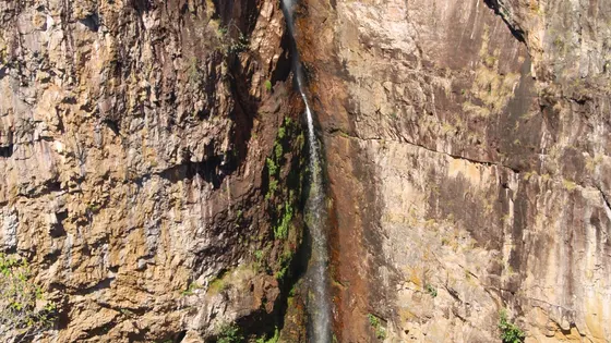
A sealed 400m path from the car park reaches a viewing platform built for all abilities. Swimming and camping aren't allowed, but older kids can take the 1.6km loop walk, about 45 minutes. Parks NT says the wet season is the best time to see the falls.
about 45 min
Waterfall · Tolmer Falls
Photo: Grant Williamson, CC BY-SA 2.0
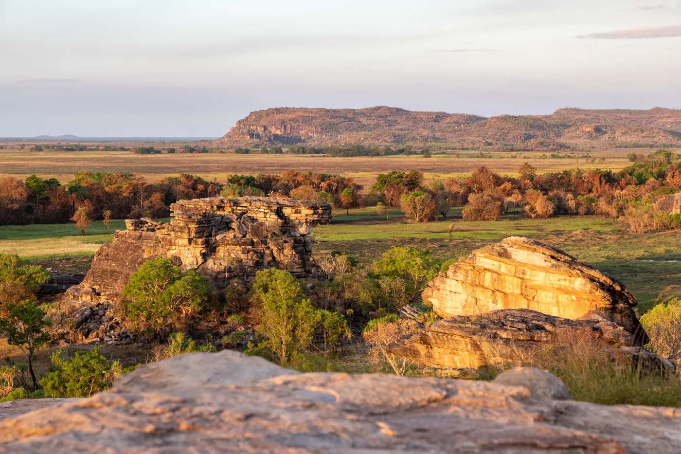
Ubirr
Spot a painted thylacine at Ubirr
A 1km circular track passes Ubirr's rock art, where fish, turtles and a rare thylacine are painted on the stone. A steep 250m climb leads to a lookout over the Nadab floodplain; allow at least an hour. Ranger talks are included in the Kakadu park pass, which was $65 for a family through 31 October 2026.
about 3 hr 45
Walk · Ubirr
Photo: Dietmar Rabich, CC BY-SA 4.0
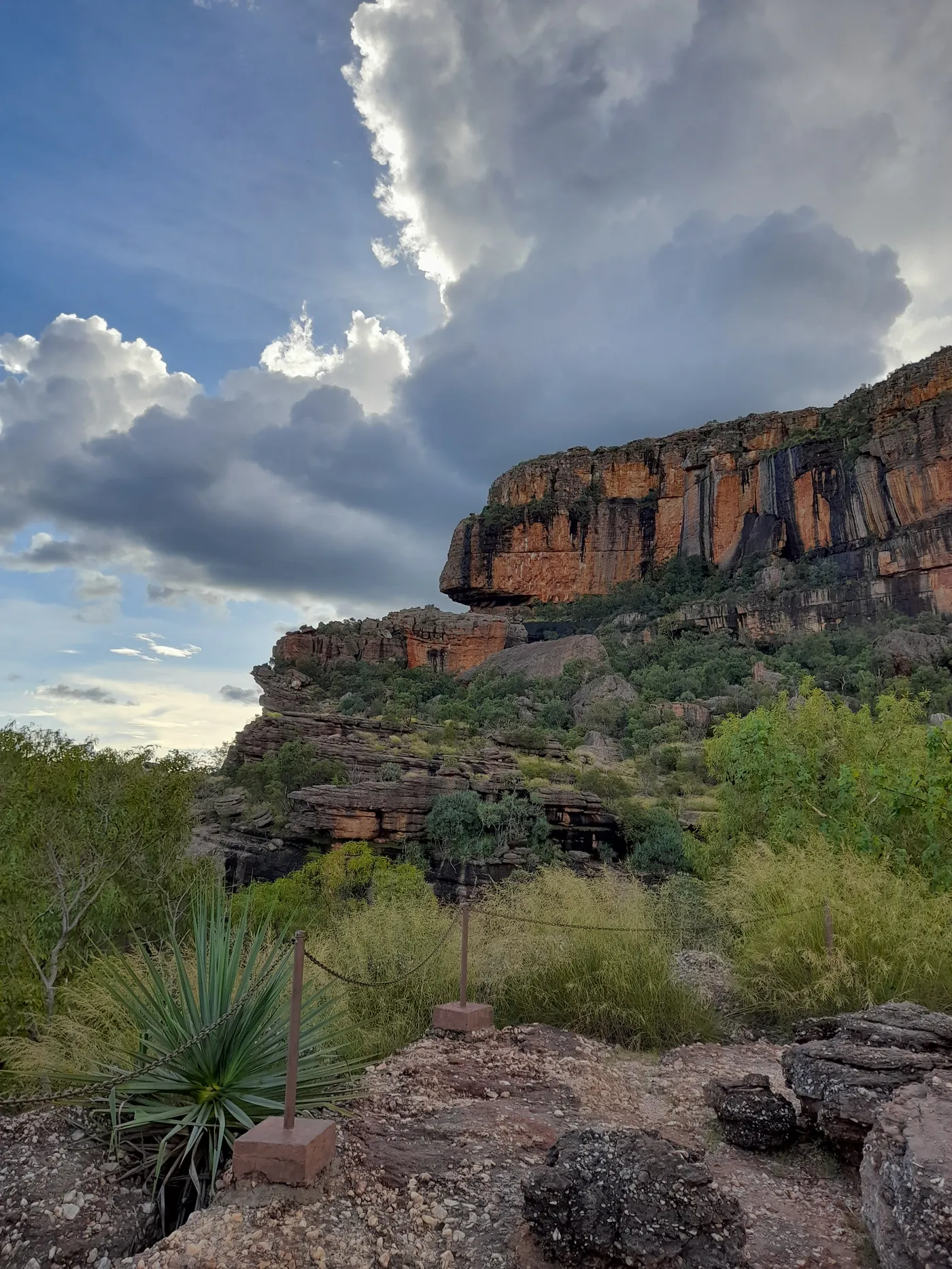
Burrungkuy (Nourlangie)
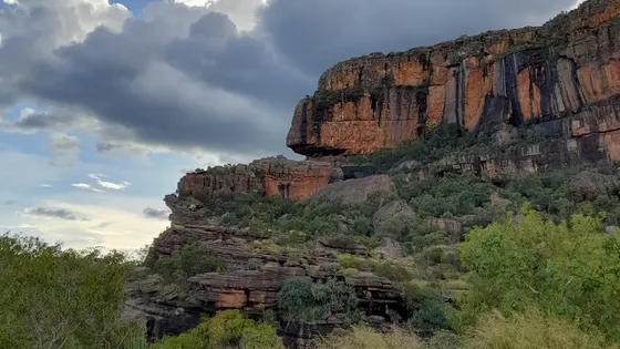
Find the lightning man at Burrungkuy
The 1.5km walk reaches the Anbangbang gallery, where Namarrkon the lightning man shares the rock with paintings of European sailing ships. The path to the main gallery is wheelchair accessible and open all year. Gates open 7am to 7pm; allow about two hours for the whole walk.
about 3 hr 30
Walk · Burrungkuy (Nourlangie)
Photo: Peter Robertson, CC BY-SA 4.0
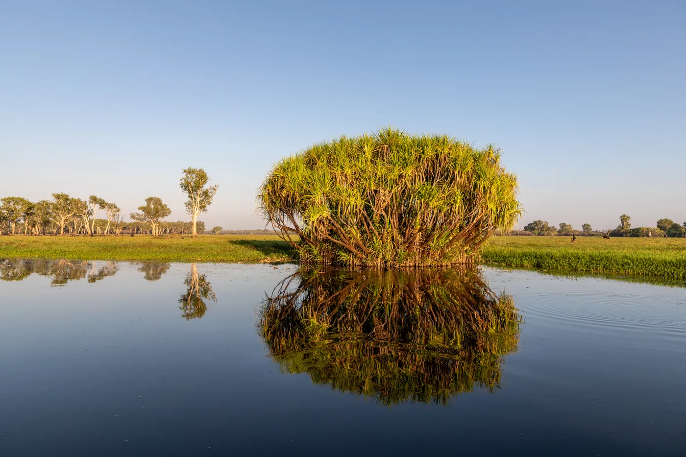
Yellow Water (Ngurrungurrudjba)
Cruise past crocs on Yellow Water
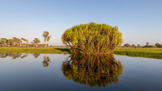
Yellow Water Cruises runs up to six trips a day, 90 or 120 minutes long, through wetlands full of whistling ducks, magpie geese and crocodiles. Meet at the Cooinda Lodge bus stop 20 minutes before your cruise. Kakadu's crocodiles can attack in knee-deep water, so keep kids well back from the edge.
about 2 hr 45
Lake · Yellow Water (Ngurrungurrudjba)
Photo: Dietmar Rabich, CC BY-SA 4.0
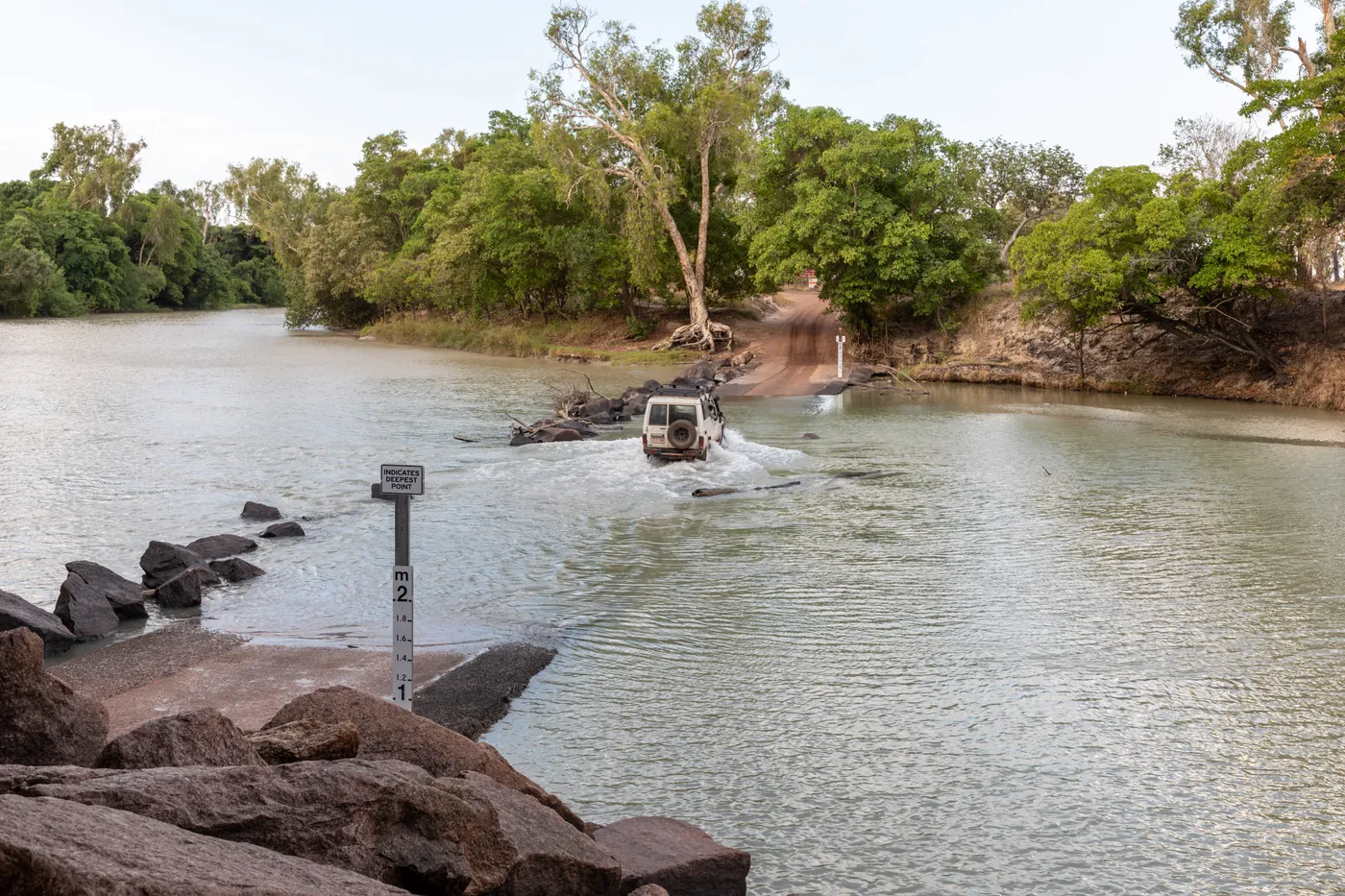
Cahills Crossing
Count crocodiles at Cahills Crossing
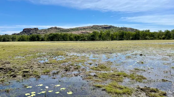
From September until the wet season, crocodiles gather to catch mullet and barramundi as the tide pushes over the causeway. More than 50 have been counted along this 400m stretch of river. Watch from the three viewing platforms, check tide times at Bowali Visitor Centre, and never cross the causeway on foot.
about 3 hr 45
Lookout · Cahills Crossing
Photo: Dietmar Rabich, CC BY-SA 4.0
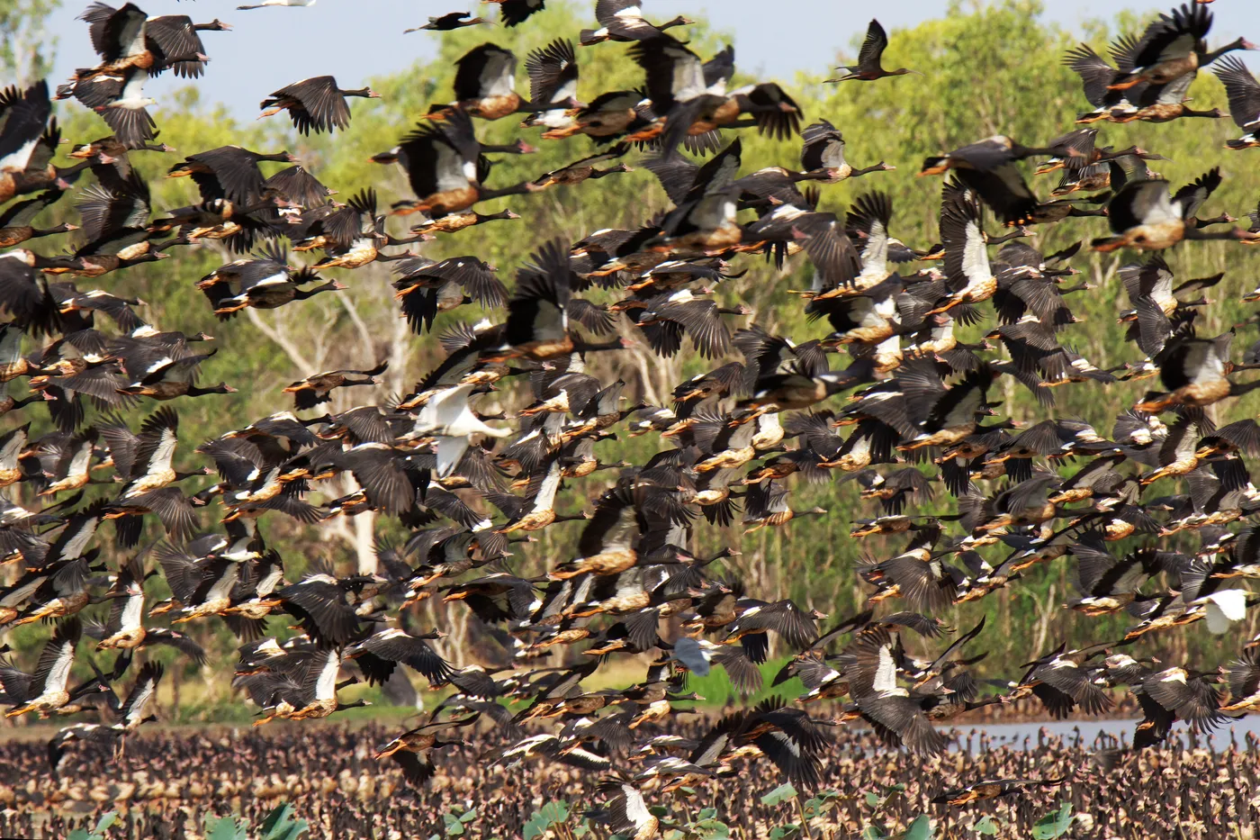
Mamukala Wetlands
Hear the magpie geese at Mamukala
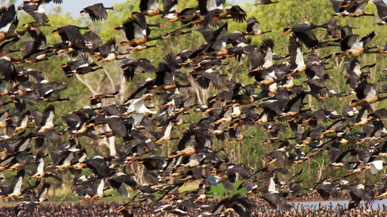
By late August, tens of thousands of magpie geese honk across the wetlands, digging for water chestnuts. A bird hide in the paperbarks lets kids watch quietly, and wheelchairs can reach it. The full loop is 3km, about an hour and a half.
about 3 hr
Walk · Mamukala Wetlands
Photo: PotMart186, CC BY-SA 4.0
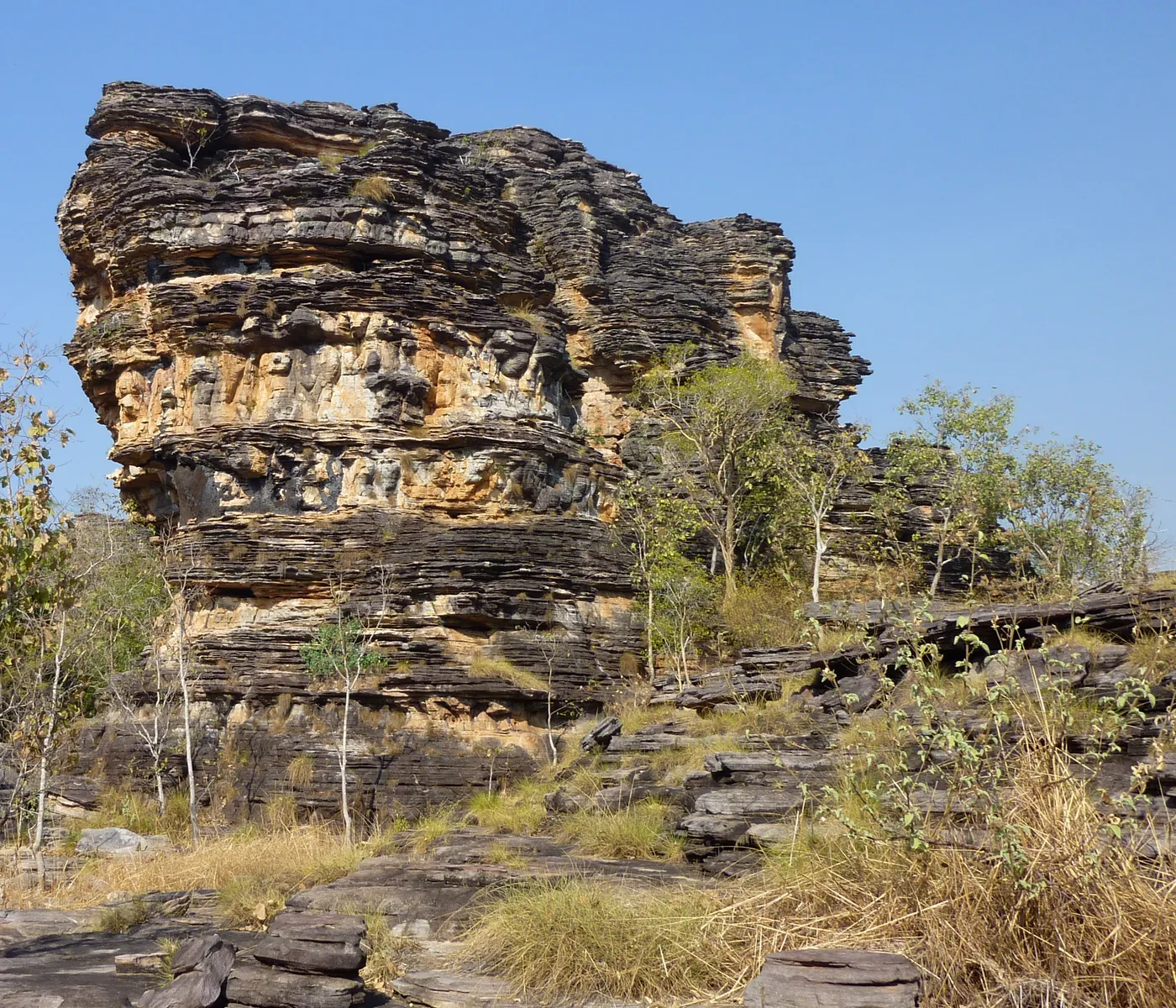
Bardedjilidji walk
Shelter in a sandstone cave on the Bardedjilidji walk
This 2.5km loop winds between sandstone pillars and pockets of rainforest beside the East Alligator River. Look for rock art on the walls and a cool, shady cave once used as a hunting shelter. It starts 500m from the upstream boat ramp; allow two hours.
about 3 hr 45
Walk · Bardedjilidji walk
Photo: Travelstine, CC BY-SA 4.0
Can’t decide? Swipe through days out around Batchelor
One card at a time. Keep the ones you like and they’re saved for later.
Start swiping →
Magnetic Termite Mounds
Florence Falls
Florence Falls
Wangi Falls
Wangi Falls

Entry tickets

Affiliate link: we may earn a commission at no extra cost to you.
Territory Wildlife Park
Royal Flying Doctor Service Darwin Tourist Facility
WWII Oil Storage Tunnels
Crocosaurus Cove

Everything on the map

Nearest first, from Batchelor

Waterfalls, lakes and swimming
Pool illustration
Pool
Batchelor Swimming Pool
Batchelor
under 5 min
Lake illustration
Lake
Manton Dam Recreation Area
Day-use lake with shady picnic areas, barbecues, toilets and a boat ramp; open sunrise to sunset.
about 30 min
Over 30 minutes
from Batchelor
Florence Falls
Waterfall
Florence Falls
1 km walk
Swimming can close in the wet for crocodile surveys; enjoy the falls from the lookout and the Shady Creek walk.
about 35 min
Photo: Dietmar Rabich, CC BY-SA 4.0
Tjaynera Falls (Sandy Creek Falls)
Waterfall
Tjaynera Falls (Sandy Creek Falls)
3.4 km walk
4WD only via the Reynolds River track; swimming closes each wet season for crocodile surveys, so go for the walk and the view.
about 45 min
Photo: MaryCoe, CC0
Tolmer Falls
Waterfall
Tolmer Falls
1.6 km walk
400 m sealed path to an accessible viewing platform; no swimming.
about 45 min
Photo: Grant Williamson, CC BY-SA 2.0
Wangi Falls
Waterfall
Wangi Falls
1.6 km walk
Swimming is often closed for crocodile management; walk the 1.6km loop to the platform at the base of the falls and eat at the cafe.
about 45 min
Photo: Dietmar Rabich, CC BY-SA 4.0
Lake illustration
Lake
Leaning Tree Lagoon
Leaning Tree Lagoon Nature Park
A local favourite for picnics and birdwatching, with large numbers of green pygmy geese.
about 1 hr
Over 1½ hours
from Batchelor
Yellow Water (Ngurrungurrudjba)
Lake
Yellow Water (Ngurrungurrudjba)
Kakadu National Park
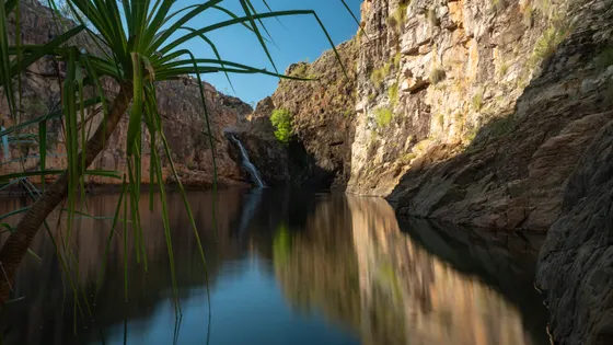
Saltwater crocodiles live here: see the wetland from the boardwalk or a cruise.
about 2 hr 45
Photo: Dietmar Rabich, CC BY-SA 4.0
Motor Car Falls
Waterfall
Motor Car Falls
7.5 km walk
A 7.5km return walk to the falls; Parks Australia warns crocodiles live in Kakadu's waterways, so enjoy the falls from the bank.
about 3 hr
Photo: ogwen, CC BY-SA 3.0
Jim Jim Falls
Waterfall
Jim Jim Falls
2 km walk
Closed for 2026; when it reopens, treat it as a walk and a view.
about 3 hr 30
Photo: Nigel Malone, CC BY-SA 1.0
Pool illustration
Pool
Jabiru Pool (Alberto Luglietti Memorial Swimming Pool)
Jabiru
about 3 hr 30

Walks and lookouts

Magnetic Termite Mounds
Lookout
Magnetic Termite Mounds
Litchfield National Park
Accessible boardwalk among hundreds of north–south mounds, with the giant Cathedral mound nearby.
about 30 min
Photo: Dietmar Rabich, CC BY-SA 4.0
Over 30 minutes
from Batchelor
Buley Rockhole
Walk
Buley Rockhole
Litchfield National Park
Swimming can close in the wet for crocodile surveys; walk the 3.2km Florence Creek track between Buley and Florence Falls.
about 35 min
Photo: Bidgee, CC BY 3.0
Walker Creek
Walk
Walker Creek
3.5 km walk
Swimming closes each wet season for crocodile surveys; picnic in the day-use area and walk the creek track to Rocky Falls.
about 45 min
Photo: Johannes Ammerschlaeger, CC BY-SA 4.0
Lookout illustration
Lookout
The Lost City
Litchfield National Park
4WD track only; sandstone pillars to walk among; no swimming.
about 45 min
Walk illustration
Walk
Cascades
3.3 km walk
Grade 4 walk to quiet rock pools; the Lower Cascades track closes in the wet season (flooding and crocodile risk).
about 45 min
Walk illustration
Walk
Greenant Creek walk to Tjaetaba Falls
2.7 km walk
Shady 2.7 km return walk, steep in places, climbing to a lookout over Tjaetaba Falls; allow about 1.5 hours.
about 45 min
Walk illustration
Walk
Bird Billabong
4.5 km walk
2 km walk to a viewing platform over the billabong, or the full 4.5 km loop (about 2 hours).
about 1 hr 15
Lookout illustration
Lookout
Couzens Lookout
Mary River National Park
Sunset views over the Mary River floodplain; large saltwater crocodile population, so keep away from the water.
about 1 hr 30
Over 1½ hours
from Batchelor
Lookout illustration
Lookout
Shady Camp crocodile viewing platform
Mary River National Park
Shaded platform over the river and floodplain where you can watch saltwater and freshwater crocodiles; boat ramps, picnic areas and toilets.
about 1 hr 45
Lookout illustration
Lookout
Bukbukluk lookout
0.4 km walk
Short family walk to a bench with views over old Goodparla Station; the first stretch is wheelchair accessible and has picnic tables.
about 2 hr 30
Maguk
Walk
Maguk
2 km walk
Crocodile management is ongoing here; walk through the monsoon forest to view the gorge pool, and stay out of the water.
about 2 hr 45
Photo: Joshua Tagicakibau, CC BY-SA 4.0
Walk illustration
Walk
Kungarre walk
3.6 km walk
Family-friendly 3.6 km loop through monsoon forest to a billabong boardwalk, or a 1.4 km return walk to the boardwalk; toilets.
about 2 hr 45
Walk illustration
Walk
Mardukal Billabong walk
1 km walk
Short, shady loop to a picnic spot over the billabong.
about 2 hr 45
Walk illustration
Walk
Kungardun walk
2 km walk
Easy 2 km woodland loop near Mardukal campground; go early or late to see kookaburras, wallabies and dingoes.
about 3 hr
Mamukala Wetlands
Walk
Mamukala Wetlands
3 km walk
Bird hide over the wetlands; tens of thousands of magpie geese from late August. Usually open mid-April to January.
about 3 hr
Photo: PotMart186, CC BY-SA 4.0
Lookout illustration
Lookout
Mirray lookout
2 km walk
Short, steep 2 km return climb to a 360-degree view over northern Kakadu; start early in the hot months.
about 3 hr 15
Nawurlandja Lookout
Lookout
Nawurlandja Lookout
0.3 km walk
Short, steep rock slope to views over Anbangbang Billabong to Burrungkuy; gates 7 am–7 pm.
about 3 hr 15
Photo: Ahmad Zulfa, CC BY-SA 4.0
Anbangbang Billabong walk
Walk
Anbangbang Billabong walk
2.5 km walk
Easy loop around a billabong full of birdlife, with picnic tables.
about 3 hr 15
Photo: Kgbo, CC BY-SA 4.0
Burrungkuy (Nourlangie)
Walk
Burrungkuy (Nourlangie)
1.5 km walk
Rock art shelters and the Kunwarddewardde lookout; gates open 7 am–7 pm daily.
about 3 hr 30
Photo: Peter Robertson, CC BY-SA 4.0
Walk illustration
Walk
Nanguluwurr art site walk
3.4 km walk
3.4 km return woodland walk, about 2 hours, to a rock art gallery that includes a painting of a two-masted sailing ship.
about 3 hr 30
Walk illustration
Walk
Kubara Pools
6 km walk
6 km return (about 4 hours) to shady pools; swimming is not permitted (crocodiles).
about 3 hr 30
Cahills Crossing
Lookout
Cahills Crossing
Kakadu National Park
Watch saltwater crocodiles from three viewing platforms, best July–November; never walk on the crossing.
about 3 hr 45
Photo: Dietmar Rabich, CC BY-SA 4.0
Ubirr
Walk
Ubirr
1 km walk
1 km loop past rock art galleries to the Nadab floodplain lookout; famous at sunset. Do not touch the paintings.
about 3 hr 45
Photo: Dietmar Rabich, CC BY-SA 4.0
Bardedjilidji walk
Walk
Bardedjilidji walk
2.5 km walk
Loop through sandstone pillars to a cool, shady cave; may close in the tropical summer.
about 3 hr 45
Photo: Travelstine, CC BY-SA 4.0

Libraries, cinemas and theatres

Over 30 minutes
from Batchelor
Library illustration
Library
Wagait Beach Library
Wagait Beach
about 1 hr 30
Over 1½ hours
from Batchelor
Library illustration
Library
Jabiru Library
Jabiru
about 3 hr 30
Camping
Camping in Litchfield Kakadu Arnhem
Campgrounds and holiday parks, with powered sites, showers and what's near each one.
See the campgrounds →

Also in this region, more than 4 hours from Batchelor

Alyangula (about 10 hr): Alyangula Picture Gardens
Nhulunbuy (about 10 hr 45): Gove Aquatic Centre
Drive times are estimated from the distance, so treat them as a guide. Tap a card for the full page.
Region boundary: ABS Tourism Regions 2021 (Tourism Research Australia), CC BY 4.0. Outings from OpenStreetMap contributors (ODbL) and venues' own listings; nature spots from OpenStreetMap and park services.