
Things to do with kids in Daylesford & Hepburn
Start at Lake Daylesford, where an easy track circles the water past a playground and a small beach for paddling in summer. Kids can try the mineral water from the pumps nearby. On Sundays, the Daylesford Railway runs old railmotors up through the forest to Bullarto, Victoria's highest station.
Behind the town, Wombat Hill is an old volcano, and kids can climb the steep stairs of the Pioneer Memorial Tower at the top. At Sailors Falls, you can fill a cup from the mineral spring without any steps. Just north, the Lalgambuk Mount Franklin crater has a short walk around the rim.
Near Trentham, Trentham Falls drops over a basalt cliff, a short walk from the car park. The flat Domino Trail from the old Trentham station is good for bikes. In summer, St Georges Lake near Creswick is popular for swimming and kayaking, with free barbecues.
55 family outings, waterfalls and walks across the region, sorted by drive time from Daylesford. Choose your suburb at the top to sort from where you are staying.
✓ Everything
Free · 41
Top things to do in Daylesford & Hepburn
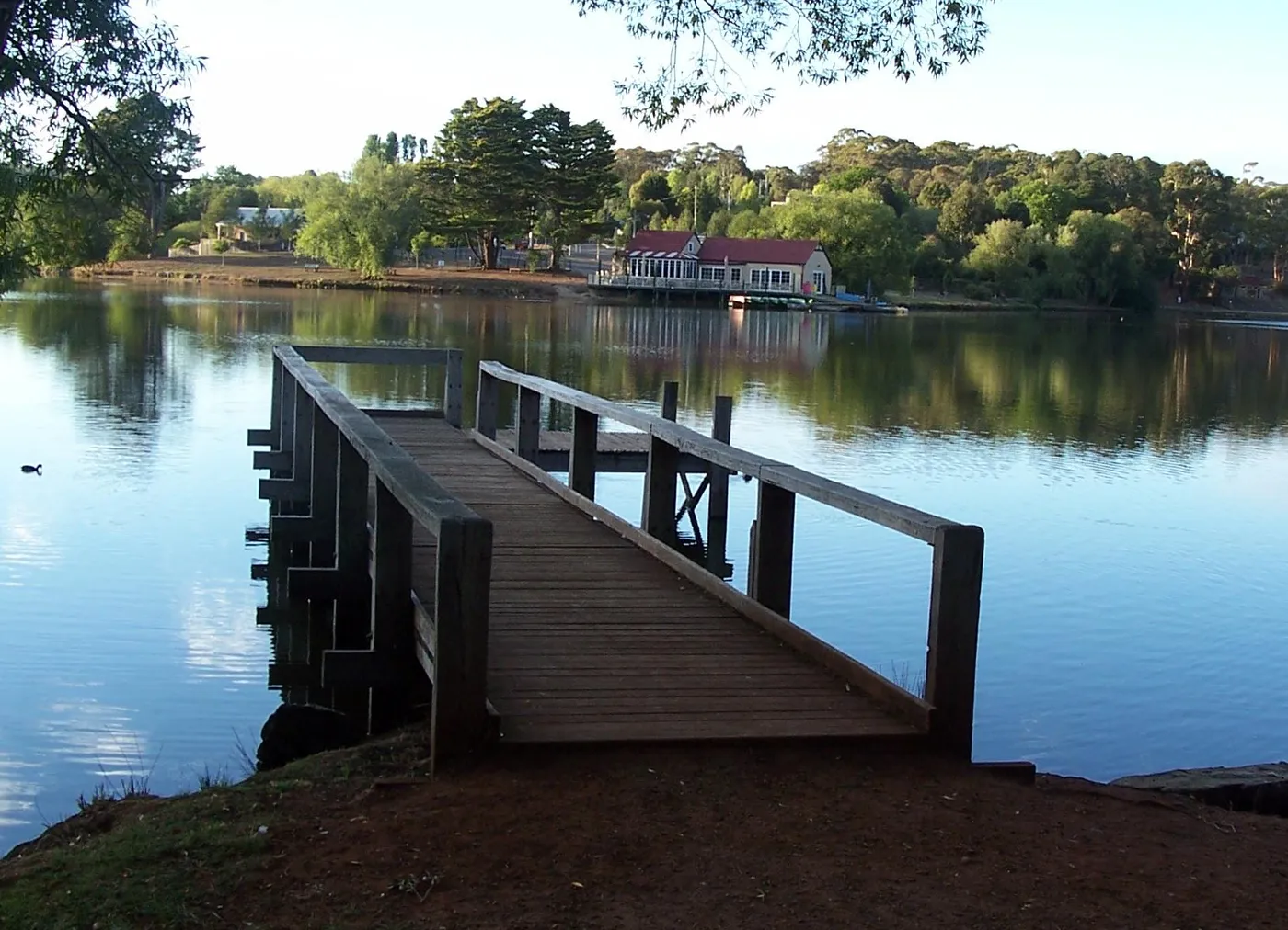
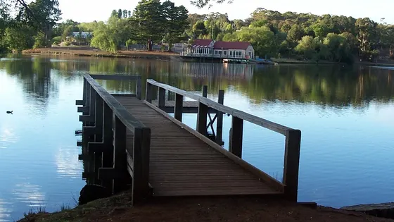
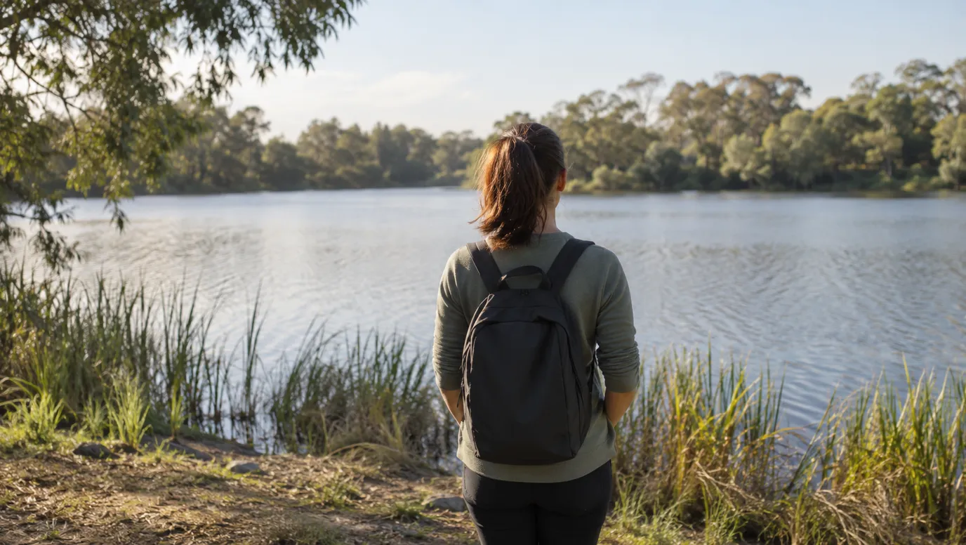
Walk the Peace Mile around Lake Daylesford
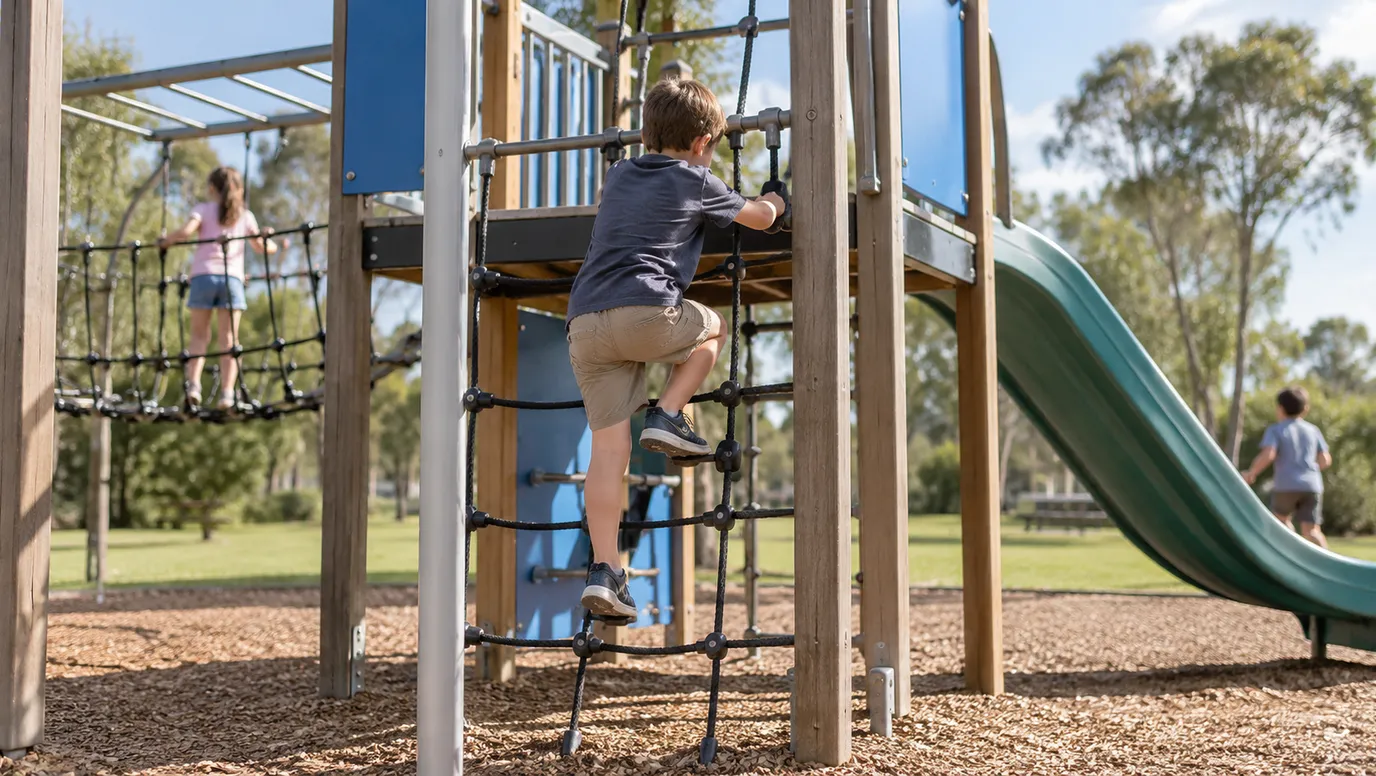
The Peace Mile is a 2.8km gravel track around the lake that takes about 40 minutes. There's a waterside playground and a small beach for paddling in summer. Nearby Central Springs Reserve has three pumps where you can taste the local mineral water.
under 5 min
Lake · Lake Daylesford
Photo: Graham Manning, CC BY-SA 3.0
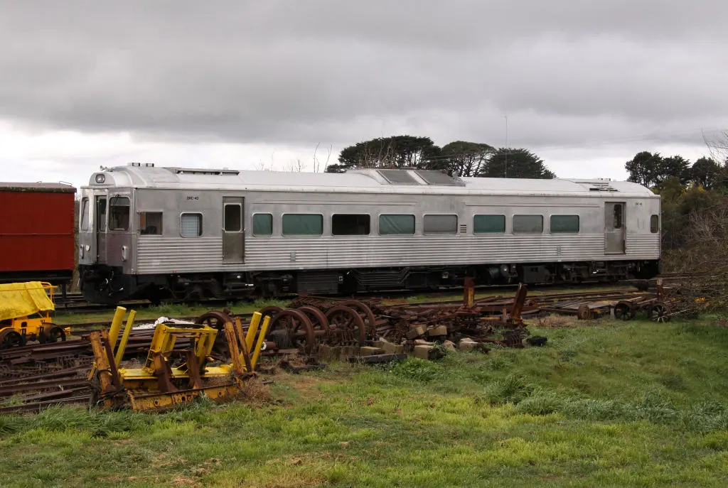
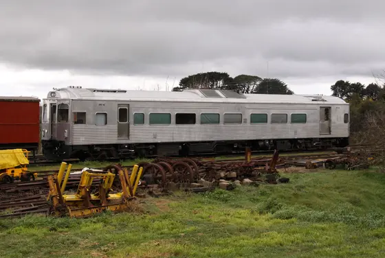
Ride the railmotor up to Bullarto
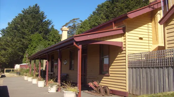
Restored vintage railmotors leave the 1882 Daylesford station and climb nine kilometres through forest to Bullarto, Victoria's highest operating station. Trains run every Sunday of the year, plus holiday Wednesdays and Saturdays. The volunteer-run station has food, a gift shop and toilets.
under 5 min
Railway · Daylesford Railway
Photo: Marcus Wong Wongm, CC BY-SA 3.0
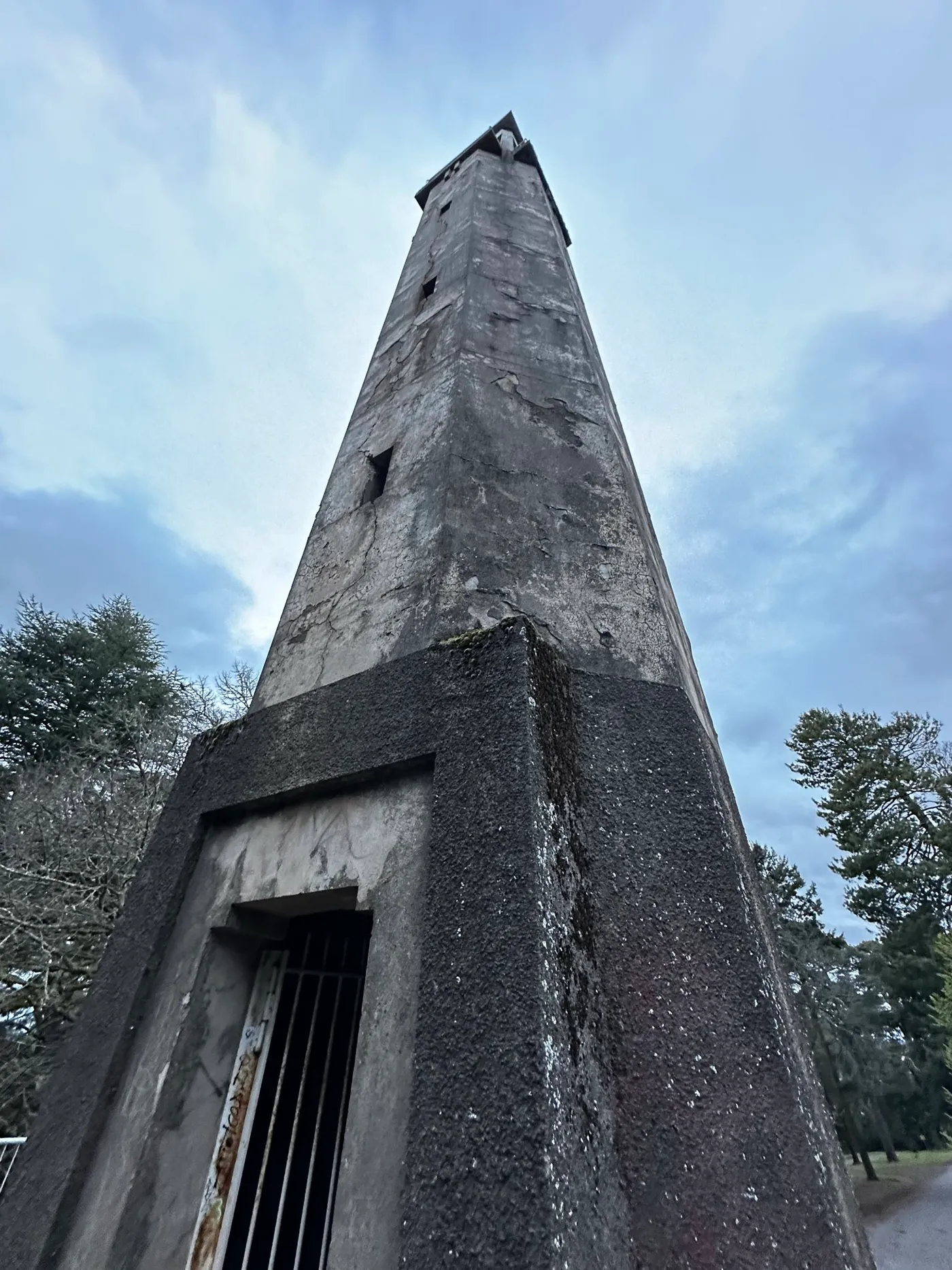
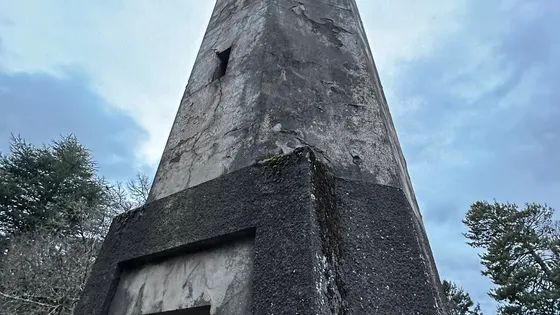
Climb the tower on Wombat Hill
Pioneer Memorial Tower stands in Wombat Hill Botanic Gardens, on an extinct volcano just behind Daylesford's town centre. The 77 stairs to the top are very steep, so keep a close eye on children. Afterwards, find the fernery and rotunda, or the cafe in the old caretaker's cottage.
under 5 min
Lookout · Pioneer Memorial Tower
Photo: Stonewall764, CC0
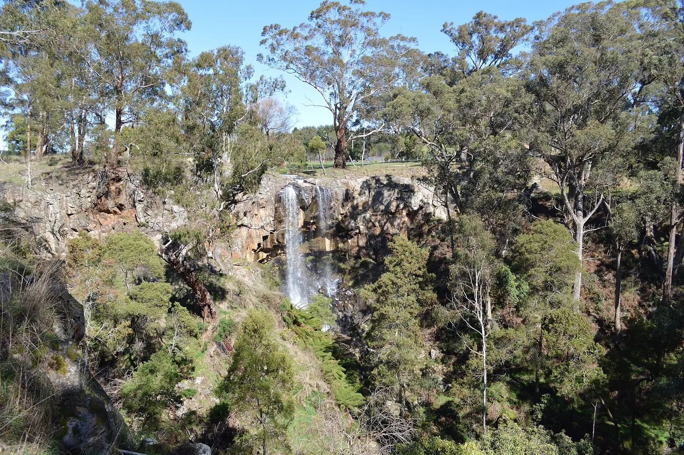
Taste spring water at Sailors Falls
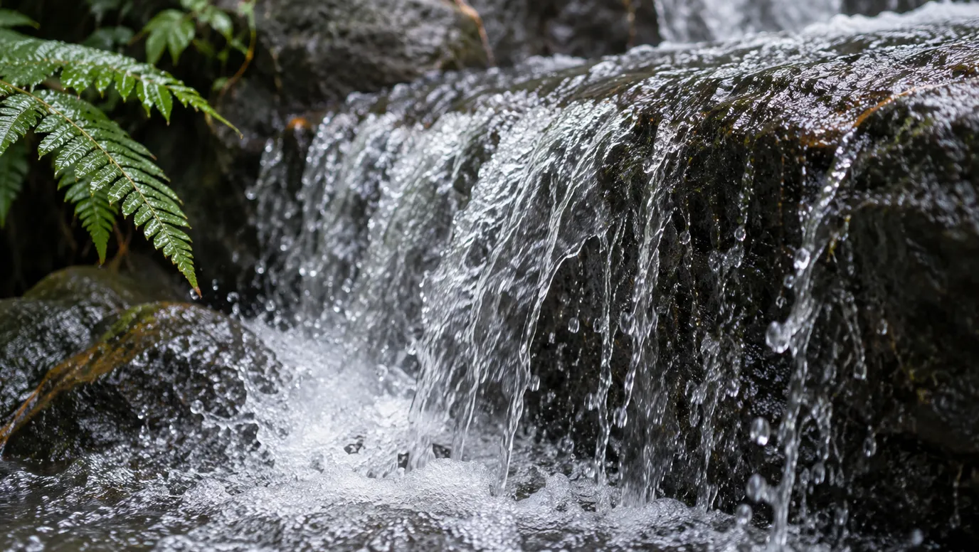
Sailors Falls drops 20 metres into a fern-lined gully, about 10 minutes' drive from Daylesford. The viewing platforms are down a lot of steps, but the tapped mineral spring and covered picnic tables need no stairs. The 1.5km Mineral Springs Loop takes about 40 minutes from the picnic area.
about 10 min
Waterfall · Sailors Falls
Photo: Mattinbgn, CC BY 3.0
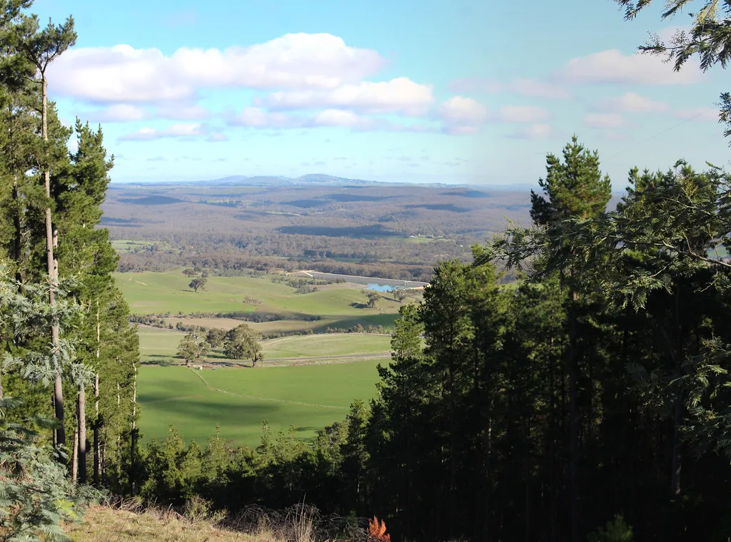
Walk the crater rim at Lalgambuk
Lalgambuk Mount Franklin is an extinct volcano 15 minutes' drive north of Daylesford, jointly managed by Parks Victoria and the Dja Dja Wurrung. The 1.7km Summit Loop circles the crater rim, and the crater floor has free camping, picnic tables and fireplaces. There's no drinking water, so bring your own, plus firewood.
about 15 min
Lookout · Lalgambuk Mount Franklin
Photo: John Englart (Takver), CC BY-SA 2.0
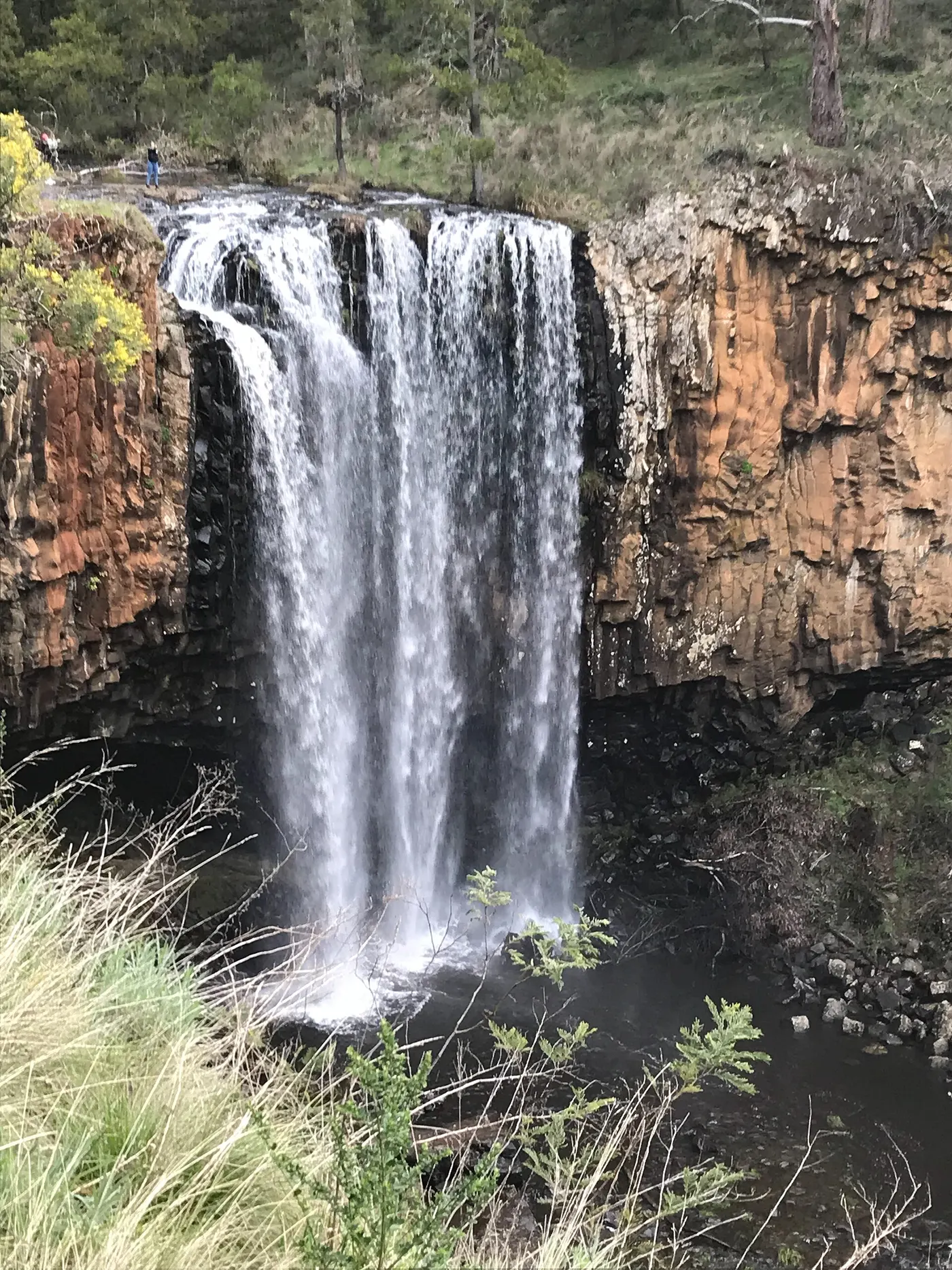
Look over Trentham Falls from the platform
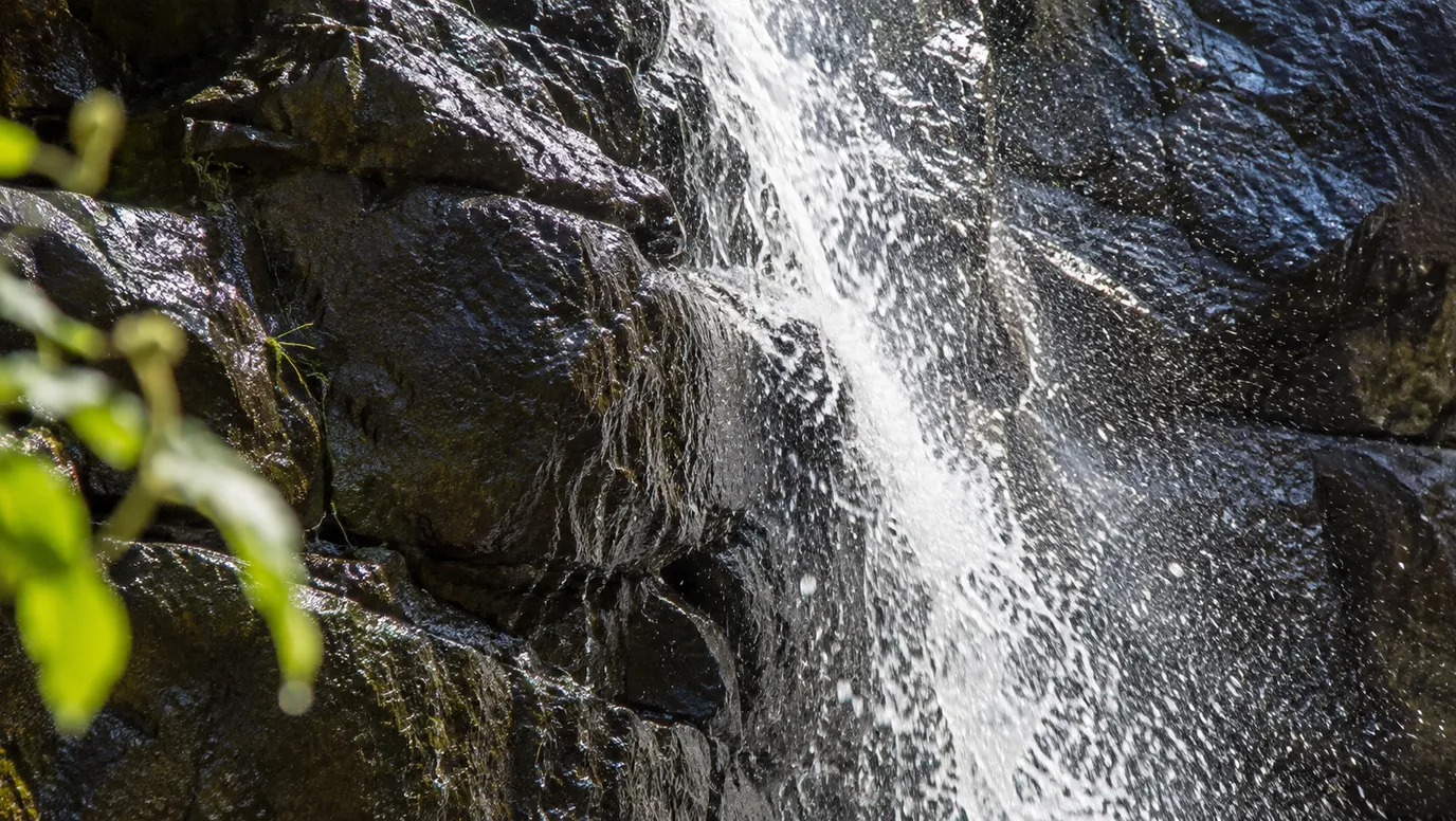
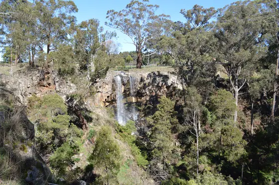
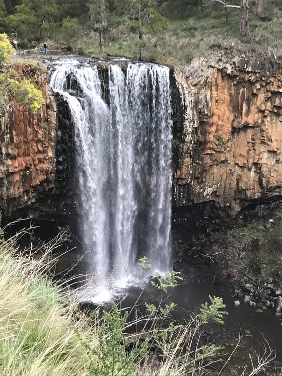
Trentham Falls plunges more than 32 metres over a basalt cliff, the highest single drop in Central Victoria. A short walk from the car park reaches the viewing areas; there's no access to the base, so stay behind the barriers. Flows are strongest in winter and spring, and there are picnic tables and fire pits if you bring wood.
about 25 min
Waterfall · Trentham Falls
Photo: Mattinbgn, CC BY-SA 4.0
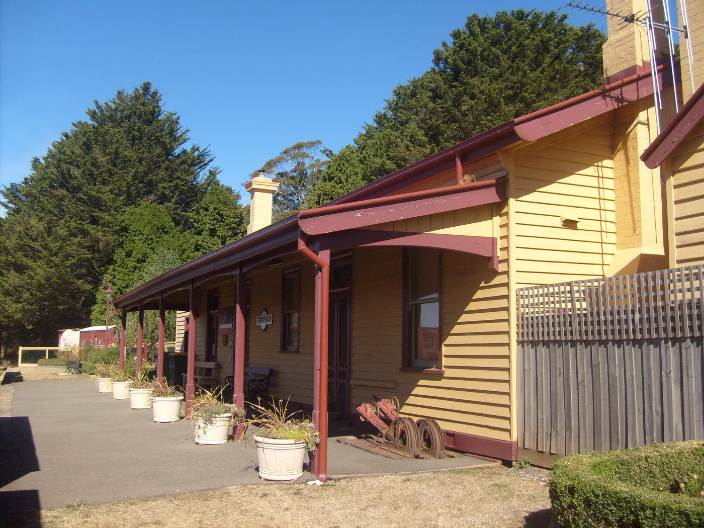
Follow the Domino Trail from Trentham
This flat rail trail runs six kilometres each way from the old Trentham station to Lyonville. It passes through the Wombat State Forest, home to the endangered powerful owl. Signs at the station tell the story of the line, which carried potatoes and timber until it closed in 1978.
about 20 min
Walk · Domino Trail
Photo: Forthevline, Public domain
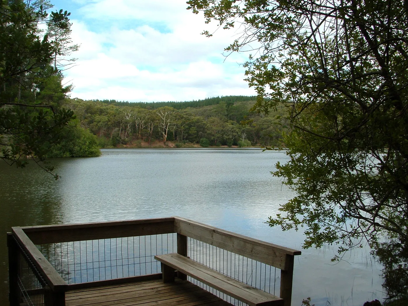
Paddle and picnic at St Georges Lake
St Georges Lake, two kilometres east of Creswick, began as a mining dam and is now a summer base for swimming and kayaking. There are free gas barbecues and toilets, but no camping or powerboats, and Parks Victoria flags deep water. The 1.8km loop around the shore takes about 40 minutes and has narrow, steep sections.
about 30 min
Lake · St Georges Lake
Photo: Luke Steenhuis, CC BY-SA 4.0
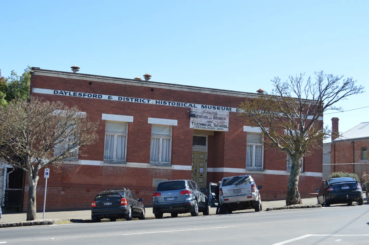
Look inside the old School of Mines
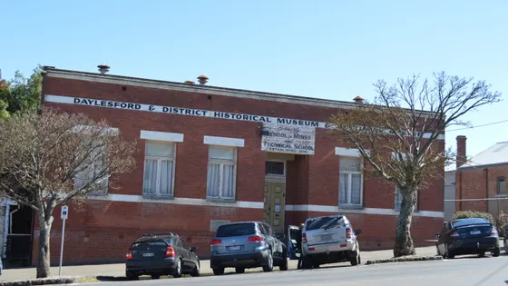
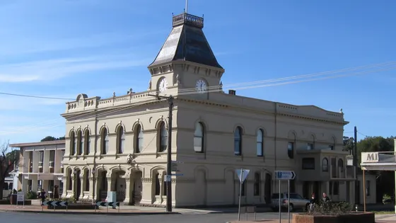
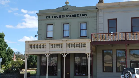
Daylesford Museum fills ten large rooms of the former School of Mines with local artefacts, photographs and records. It's run entirely by volunteers, and entry was from $5 in October 2026. Opening hours vary, so check the museum's website before you go.
under 5 min
Museum · Daylesford Museum
Photo: Mattinbgn, CC BY 3.0
Entry tickets
Affiliate link: we may earn a commission at no extra cost to you.
Ballarat Wildlife Park
Sovereign Hill
Everything on the map
Over the border
Nearest first, from Daylesford
Animals

Over 30 minutes
from Daylesford
Waterfalls, lakes and swimming
Over 30 minutes
from Daylesford
Walks and lookouts


Over 30 minutes
from Daylesford
Big playgrounds

Over 30 minutes
from Daylesford


Play

Museums and history
Over 30 minutes
from Daylesford

Libraries, cinemas and theatres



Over 30 minutes
from Daylesford

Gardens and science


Drive times are estimated from the distance, so treat them as a guide. Tap a card for the full page.
Region boundary: ABS Tourism Regions 2021 (Tourism Research Australia), CC BY 4.0. Outings from OpenStreetMap contributors (ODbL) and venues' own listings; nature spots from OpenStreetMap and park services.