Camping in the West Coast
8 campgrounds · 2 with showers · 1 with a dump point · 4 with tent sites
Tasmania's West Coast is wild, wet country with a handful of old mining towns, rainforest waterfalls and the vast harbour at Strahan. It sits in the path of the Roaring Forties, and Lake Margaret's rainfall, around 2,800 to 3,000 mm a year, is on a par with Tully for the highest in Australia, so rain gear comes on every trip.
Where is the best place to camp in the West Coast?
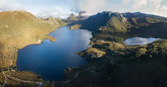
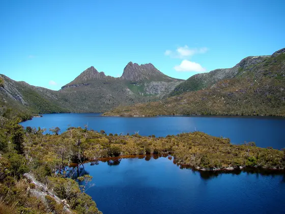
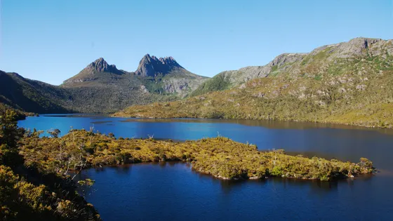
Strahan, on Macquarie Harbour, is the main base, and Strahan Beach Tourist Park has showers, with the simpler Macquarie Heads Campground nearby. Inland, the old mining towns of Zeehan and Rosebery have their own parks, and on the Lyell Highway, Lake Burbury Campground sits on the lake between Mount Jukes and Mount Huxley.
What is there to do in the West Coast with kids?
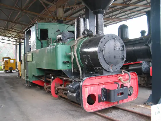
From Strahan, boat cruises run through Hell's Gates to Sarah Island, once one of the harshest penal settlements in the colonies, and up the lower Gordon River, and the West Coast Wilderness Railway leaves from Regatta Point. In Zeehan, once Tasmania's third-largest town during a silver boom, the West Coast Heritage Centre is in the old School of Mines, with minerals like crocoite, and the main street still has the 1898 Gaiety Theatre. In Rosebery, the Heritage Centre is close to the caravan park, and Queenstown has the Galley Museum.
Tap a card for the full page. Every outing is on the map below too. Distances are in a straight line, so the drive is a little longer.
What are the best walks and waterfalls in the West Coast?
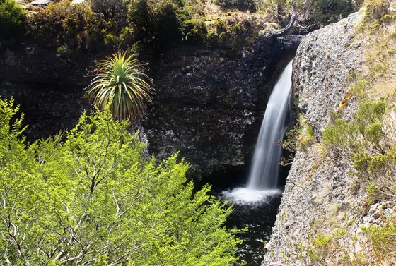
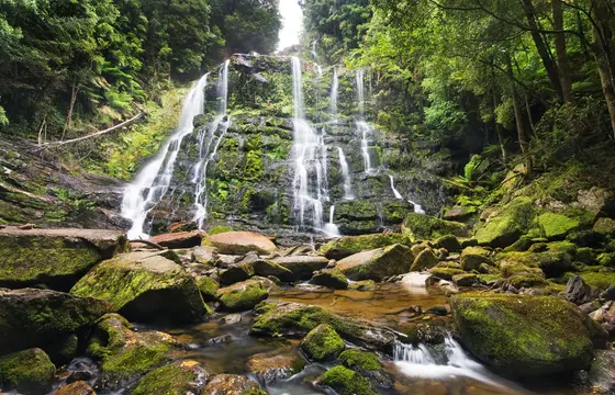
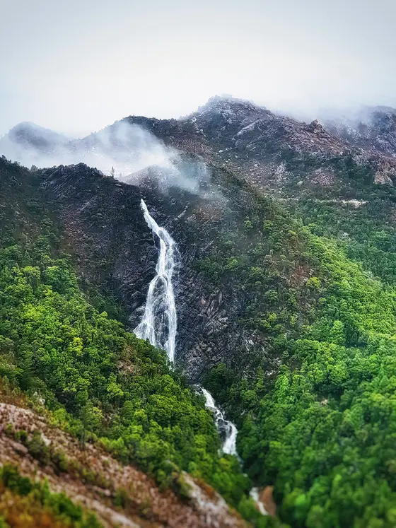
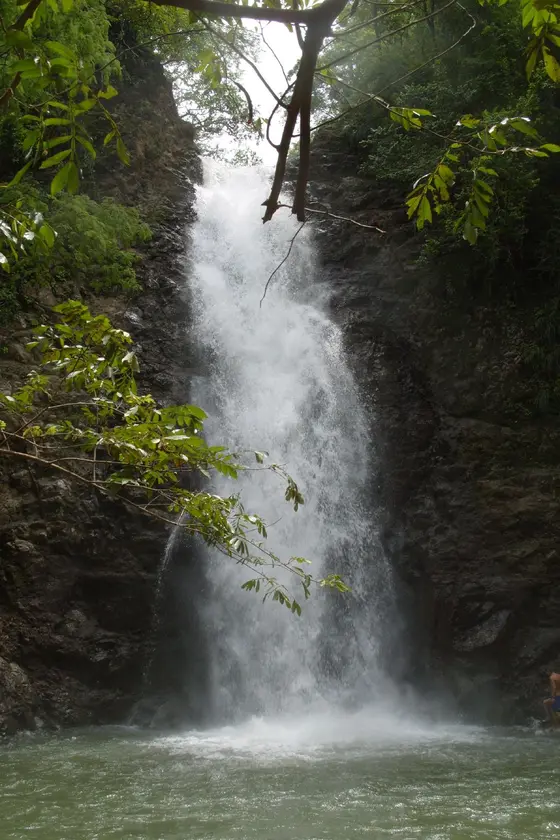
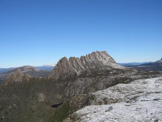
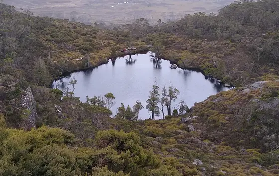
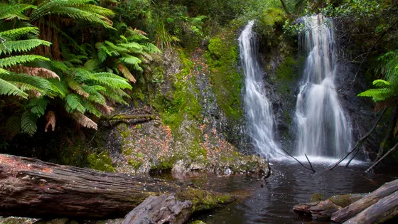
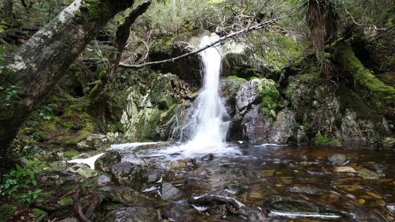
The rainforest has waterfalls such as Nelson Falls, Hogarth Falls, Horsetail Falls and Montezuma Falls. Lake Burbury is known for its fishing, and mountain-bike trails run from Zeehan to Trial Harbour and Queenstown. To the east lies the Franklin-Gordon Wild Rivers National Park, part of the Tasmanian Wilderness World Heritage Area.
When is the best time to go camping in the West Coast?
October to March is the best period for the south-west parks. This is one of the wettest parts of Australia all year, with strong westerly winds, so pack rain gear whatever the season. The long walks in the south-west take 10 to 14 days and are for experienced walkers only.
Are there powered sites in the West Coast?
None of the campgrounds here have powered sites confirmed yet. That usually means nobody has confirmed it, not that there are none, so check with the park or holiday park before you book.
How far is Strahan from Hobart?
Strahan is about 302 km north-west of Hobart, Zeehan about 286 km and Rosebery about 315 km. Rosebery is 55 km north of Queenstown.
Facts from Wikipedia, "Strahan, Tasmania" (CC BY-SA 4.0), Wikipedia, "West Coast Range" (CC BY-SA 4.0), Wikipedia, "Zeehan" (CC BY-SA 4.0), Wikipedia, "Lake Burbury" (CC BY-SA 4.0), Wikipedia, "Southwest National Park" (CC BY-SA 4.0) and Wikipedia, "Rosebery, Tasmania" (CC BY-SA 4.0).
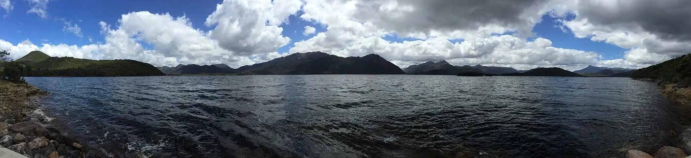
Lake Burbury Campground · Photo: Emin Başar ÖZDEMİR, CC BY 3.0, via Wikimedia Commons
Map of campgrounds in the West Coast
✓ Campgrounds
✓ Things to do
✓ Walks and nature
More around TAS
8 campgrounds
Those with the most confirmed facilities first. A missing facility means nobody has confirmed it, not that it is absent.
Campground · Strahan, TAS
Strahan Beach Tourist Park
Tent sites · Caravan and RV sites · Showers · Toilets · Dump point · Drinking water
Strahan Beach Tourist Park is a campground in Strahan, TAS. OpenStreetMap records 6 facilities. Check availability and current conditions before you travel.
Campground · Strahan, TAS
Macquarie Heads Campground
Tent sites · Caravan and RV sites · Toilets
Macquarie Heads Campground is a campground near Strahan, TAS. OpenStreetMap records 3 facilities. Check availability and current conditions before you travel.
Campground · Strahan, TAS
Strahan Holiday Park
Caravan and RV sites · Showers · Toilets
Strahan Holiday Park is a caravan park in Strahan, TAS. OpenStreetMap records 3 facilities. Check availability and current conditions before you travel.
Campground · Cradle Mountain, TAS
Waterfall Valley Public Camping Platform
Tent sites · Toilets
Waterfall Valley Public Camping Platform is a campground near Cradle Mountain, TAS. OpenStreetMap records 2 facilities. Check availability and current conditions before you travel.
Campground · West Coast, TAS
Lake Burbury Campground
Toilets
Lake Burbury Campground is a campground in West Coast, TAS. OpenStreetMap records 1 facility. Check availability and current conditions before you travel.
Campground · Southwest, TAS
Vera Hut Campsite
Tent sites
Vera Hut Campsite is a campground near Southwest, TAS. OpenStreetMap records 1 facility. Check availability and current conditions before you travel.
Campground · Rosebery, TAS
Rosebery Caravan Park
No facilities confirmed yet.
Rosebery Caravan Park is a caravan park in Rosebery, TAS. Its facilities have not been confirmed. Check availability and current conditions before you travel.
Campground · Zeehan, TAS
Zeehan Bush Camp Camping & Cabins
No facilities confirmed yet.
Zeehan Bush Camp Camping & Cabins is a caravan park in Zeehan, TAS. Its facilities have not been confirmed. Check availability and current conditions before you travel.
Other regions in Tasmania
Region boundary: ABS ASGS Edition 3 Tourism Regions 2021 (Tourism Research Australia), CC BY 4.0. Campgrounds and facilities from OpenStreetMap contributors (ODbL), the operators’ own listings, and the state park services’ open data: © State Government of NSW and NSW Department of Climate Change, Energy, the Environment and Water 2017 (CC BY 4.0); contains data sourced from the Department of Energy, Environment and Climate Action, Victoria (CC BY 4.0); © State of Tasmania, Parks and Wildlife Service (CC BY 3.0 AU); Main Roads Western Australia road stopping places (CC BY 4.0).