
Water play and swimming for kids in Melbourne
43 places to cool off across the region: water parks, pools, beaches, lakes and swimming spots, nearest first from Melbourne. Choose your suburb at the top to sort from where you are staying.
Everything on the map
Nearest first, from Melbourne
Beaches and islands
Beach
Horse Arena
Abbotsford
about 5 min
Beach
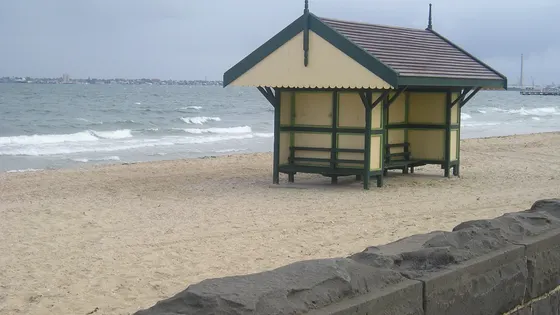
Middle Park Beach
Check EPA's Beach Report water-quality forecast before swimming, especially after rain.
about 5 min
Photo: Fmackz, CC BY-SA 4.0
Beach
South Melbourne Beach
Albert Park
about 5 min
Beach
Sandridge Beach
Port Melbourne
about 5 min
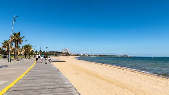
Beach
St Kilda Beach
Check EPA's Beach Report water-quality forecast before swimming, especially after rain.
about 10 min
Photo: Dietmar Rabich, CC BY-SA 4.0
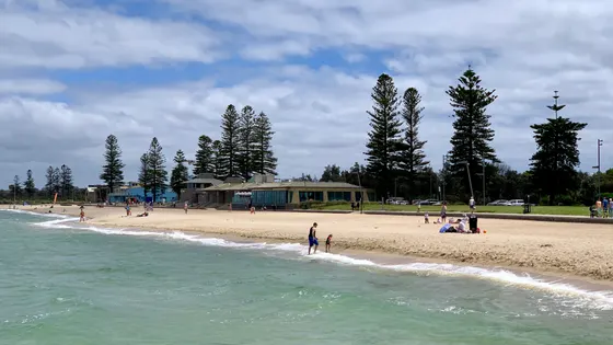
Beach
Elwood Beach
Check EPA's Beach Report water-quality forecast before swimming, especially after rain.
about 15 min
Photo: Chris Olszewski, CC BY-SA 4.0
Beach
Williamstown Beach
Williamstown
about 15 min
Beach
Sandown Street Beach
Brighton
about 15 min
Beach
Altona Dog Beach
Altona
about 15 min
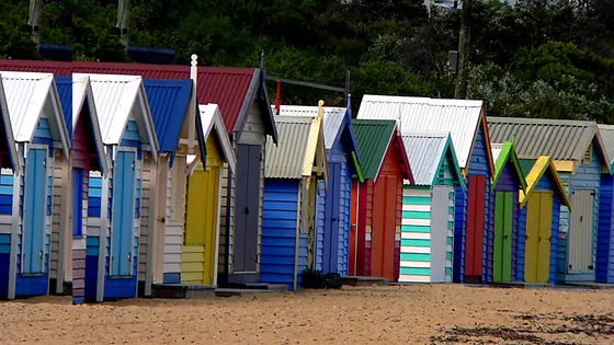
Beach
Brighton Beach Bathing Boxes
Sheltered cove beach in front of the historic bathing boxes; patrolled by volunteer lifesavers on summer weekends and holidays; train to Brighton Beach or Middle Brighton station.
about 15 min
Photo: Bernard Spragg. NZ from Christchurch, New Zealand, CC0
Beach
Brighton Beach
Brighton
about 20 min
Beach
Altona Beach
Altona
about 20 min
Beach
Hampton Beach
Beach access matting with floating beach wheelchairs to book in summer; patrolled weekends and holidays in summer; Starfish Nippers.
about 20 min
Beach
Sandringham Beach
Sheltered swimming below red cliffs, picnic spots and the 1926 band rotunda; parking off Jetty Road; patrolled on summer weekends.
about 20 min
Beach
Point Cook Coastal Park
Point Cook Coastal Park
Beach picnic area with a play area, free gas barbecues and flat pram-friendly grass; explore the beach at low tide.
about 25 min
Beach
Half Moon Bay
Small patrolled beach under the Red Bluff with the HMVS Cerberus wreck offshore; jetty, life saving club and accessible toilets.
about 25 min
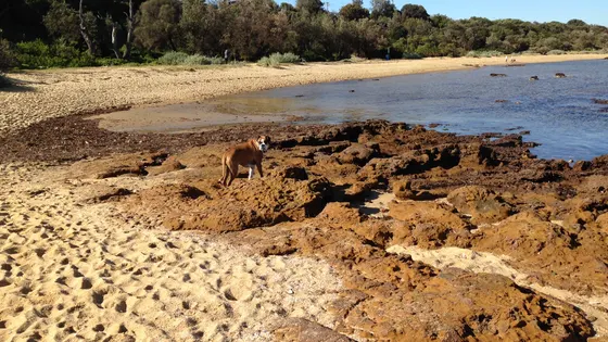
Beach
Ricketts Point Marine Sanctuary
Ricketts Point Marine Sanctuary
Shallow water, rock pools and sandstone reefs; Beaumaris Life Saving Club patrols weekends Nov-Easter; Junior Ranger rockpooling programs.
about 25 min
Photo: Rawairocks, CC BY-SA 4.0
Beach
Mentone Dog Beach
Mentone
about 30 min
Beach
Parkdale Beach
Parkdale
about 30 min
Over 30 minutes
from Melbourne
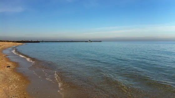
Beach
Mordialloc Beach
Wide flat beach with a surf life saving club, the 300 m Mordialloc Pier and the Peter Scullin Reserve playground behind.
about 30 min
Photo: Beckmc, CC BY-SA 3.0
Beach
Aspendale Beach
Aspendale
about 35 min
Beach
Edithvale Beach
Edithvale
about 35 min
Beach
Northern Beach
Werribee South
about 35 min
Beach
Southern Beach
Werribee South
about 35 min
Beach
Werribee South beach dog off-leash area
Werribee South
about 35 min
Waterfalls, lakes and swimming
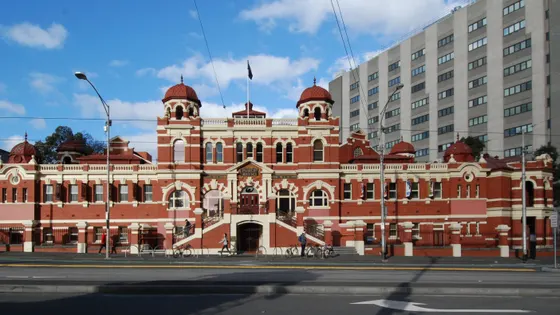
Pool
Melbourne City Baths
Melbourne
under 5 min
Photo: Elekhh, CC BY-SA 3.0
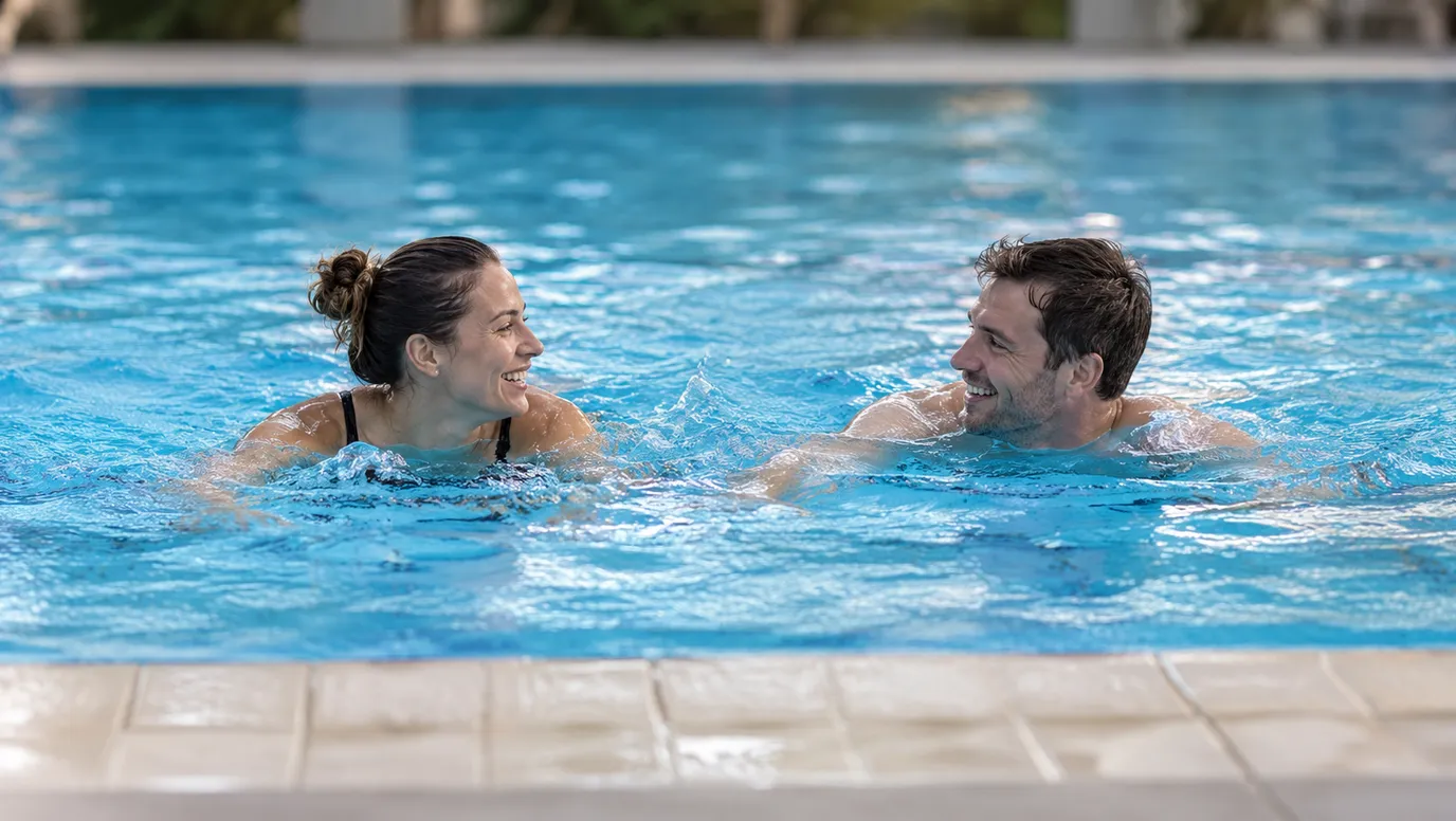
Pool
Carlton Baths
Carlton
under 5 min
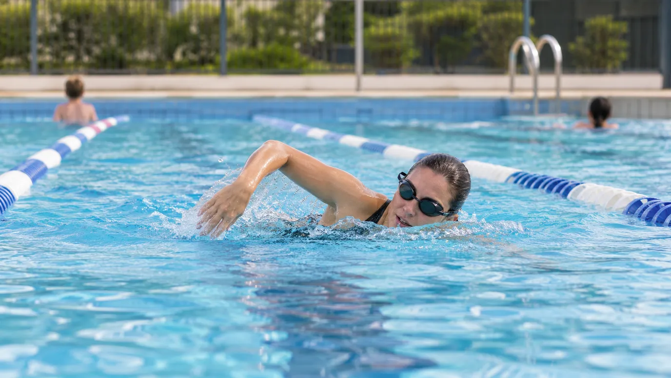
Pool
North Melbourne Pool
North Melbourne
under 5 min
Pool
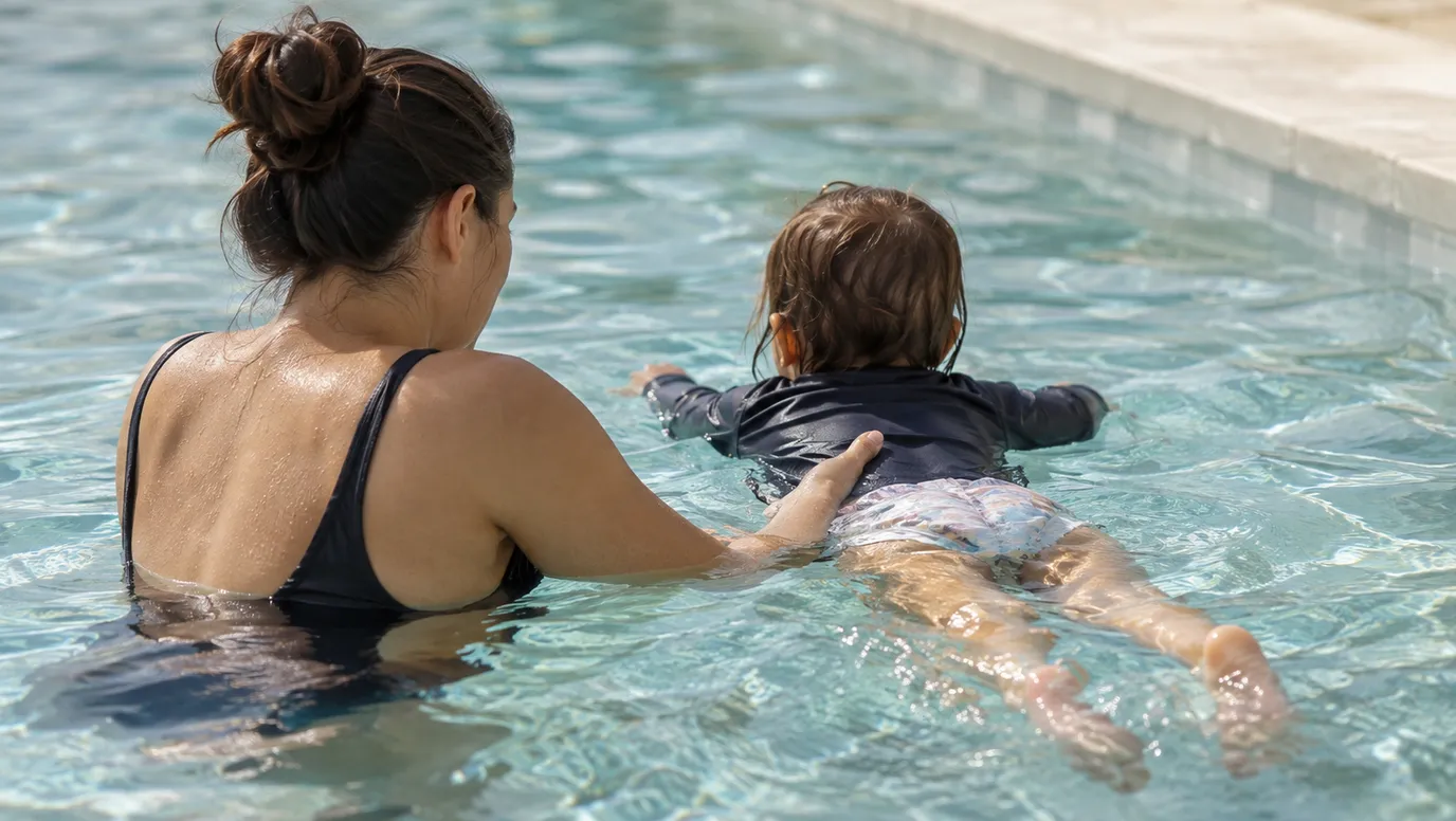
Fitzroy Swimming Pool
Fitzroy
under 5 min
Lake
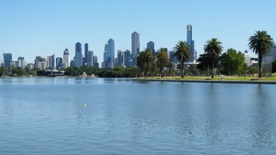
Albert Park Lake
5 km walk
A 5 km path circles the lake, with playgrounds and free barbecues at the picnic areas; paddle boats for hire. No swimming or wading in the lake.
about 5 min
Photo: KeenanPJ, CC BY-SA 4.0
Pool
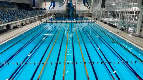
Melbourne Sports and Aquatic Centre
Albert Park
about 5 min
Photo: WikiFix2007, CC BY-SA 4.0
Lake
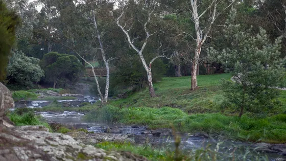
Coburg Lake Reserve
about 15 min
Photo: Michael J Fromholtz, CC BY-SA 4.0
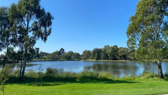
Lake
Edwardes Lake
Edwardes Lake Park
Paths around the lake and a playground with an accessible nest swing.
about 15 min
Photo: Smartiejl, CC BY-SA 4.0
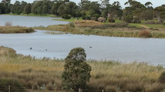
Lake
Cherry Lake
3.5 km walk
A 3.5 km walking and cycling trail circles the lake; playground, barbecues and toilets; pelicans, swans and swamphens.
about 20 min
Photo: Melburnian, CC BY 3.0
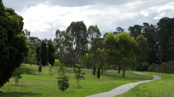
Lake
Ruffey Lake Park
Lake circuit, three picnic areas, a Ninja Warrior course and the 115-step Steps Trail with lookout landings; playgrounds at Victoria Street and The Boulevarde.
about 25 min
Photo: Nick carson at English Wikipedia, Public domain
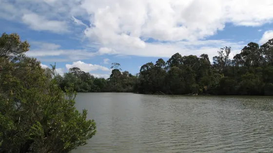
Lake
Blackburn Lake Sanctuary
Lake Circuit walk takes about 30 minutes; picnic area with BBQs, playground and toilets; Visitor Centre open most Sundays 2pm-4pm.
about 25 min
Photo: Nick carson at English Wikipedia, CC BY 3.0
Lake
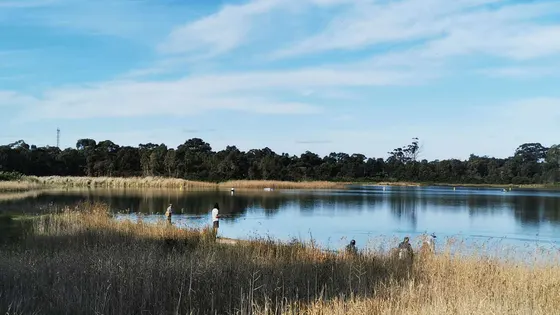
Karkarook Park
Sandbelt Parklands
15 ha lake for canoeing and fishing (no powered boats); Lake Trail all the way round; Dragonfly Picnic Area has a playground and an observation tower.
about 25 min
Photo: Smartiejl, CC BY-SA 4.0
Lake
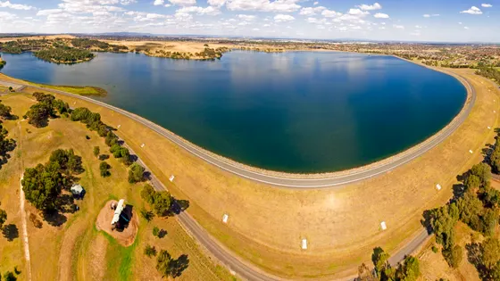
Greenvale Reservoir Park
Greenvale Reservoir Park
View the reservoir and city skyline from Greenvale North Day Visitor Area; no bins, so take rubbish home.
about 30 min
Photo: Ferylbob, CC BY-SA 4.0
Lake
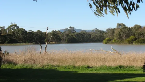
Jells Park
Dandenong Valley Parklands
Lake, bird hides and two new nature playspaces (Yabbie Hill and Jells Park East) with a Changing Places toilet; Koomba Boardwalk closed until further notice.
about 30 min
Photo: User:Fneep, Public domain
Over 30 minutes
from Melbourne
Lake
Ringwood Lake Park
1.1 km walk
Lake with a 1.1 km accessible walking circuit, a tree-canopy play trail with sand and water play, a liberty swing and a Changing Places toilet.
about 30 min
Lake
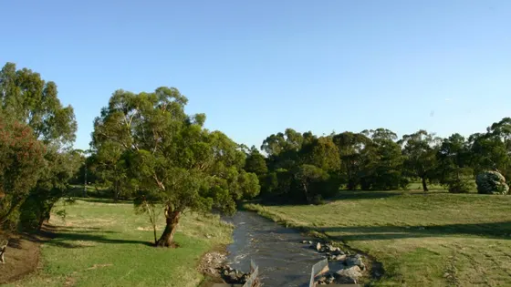
Tirhatuan Park
20 ha park on Dandenong Creek with two lakes, a wetland and boardwalks on the Dandenong Creek Trail.
about 35 min
Photo: TheArtfulD, CC0
Big playgrounds
Big playground
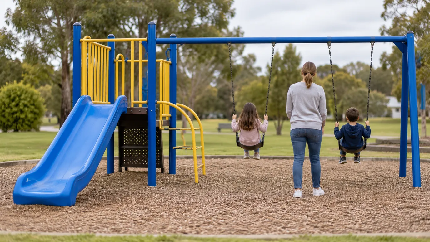
NaturePlay Playground Royal Park
Parkville
Accessible nature-based play space with a rocky escarpment, slides, swings and water play, themed on the seven Wurundjeri seasons.
under 5 min
Big playground
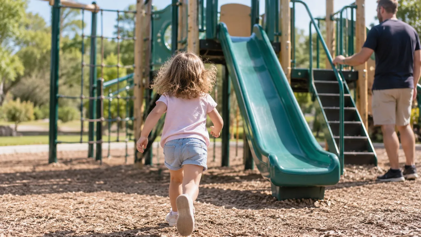
Ron Barassi Senior Park Playground
Docklands
Newer playground under the Bolte Bridge with a rocket-ship slide, big sandpit with digger, tyre swing and water play channel.
under 5 min
Drive times are estimated from the distance, so treat them as a guide. Tap a card for the full page.
Region boundary: ABS Tourism Regions 2021 (Tourism Research Australia), CC BY 4.0. Outings from OpenStreetMap contributors (ODbL) and venues' own listings; nature spots from OpenStreetMap and park services.