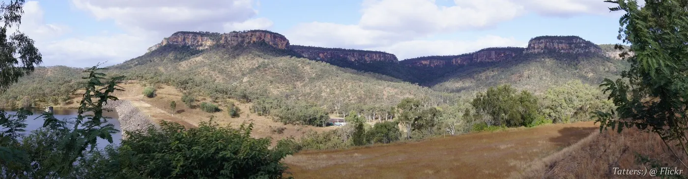
Cania Dam Lookout
Lookout · Bundaberg, QLD
Photo: Tatters ✾ from Brisbane, Australia, CC BY-SA 2.0, via Wikimedia Commons
Cania Gorge National Park covers 30 square km in the North Burnett and is known for 70-metre sandstone cliffs.
Wildlife in Cania Gorge National Park includes rock wallabies, bettongs, platypus, geckos and more than 90 bird species.
Cania Gorge National Park is managed by the Queensland Parks and Wildlife Service, with a picnic area 8 km from the Burnett Highway that has covered tables, toilets and gas barbecues.
From Wikipedia.
Closest campgrounds
BIG4 Breeze Cania Gorge
Cania · 2 km away in a straight line
Cania Gorge Tourist Retreat
Moonford · 8 km away in a straight line
Monto Caravan & Cabin Park
Monto · 27 km away in a straight line
Monto 72hr RV Stopover s/c only
Monto · 27 km away in a straight line
Lake Wuruma Campground
Wuruma Dam · 61 km away in a straight line
More walks and nature nearby
Location from OpenStreetMap contributors (ODbL). Distances are in a straight line, so the drive or walk is longer. Check the park’s own site for track closures and conditions before you go.