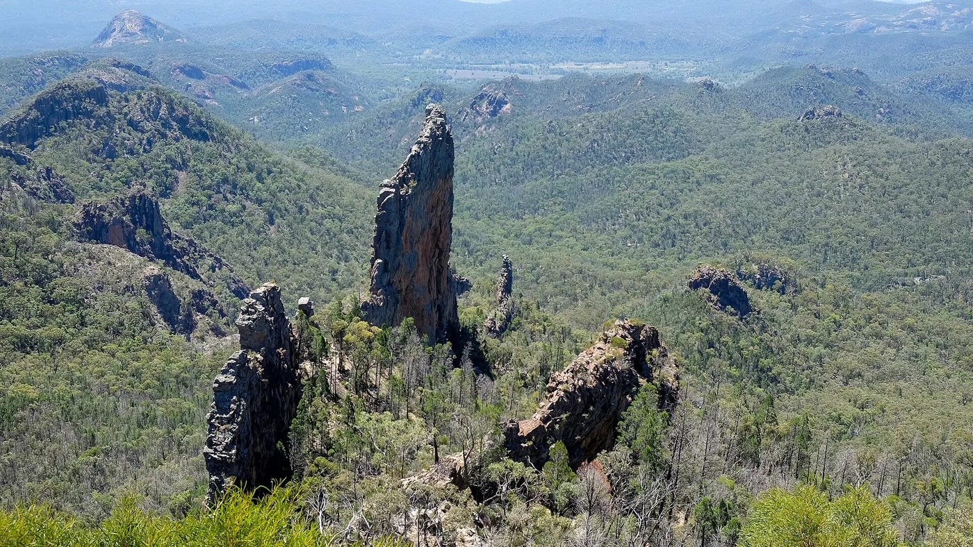
Grand High Tops track
Walk · Warrumbungle National Park · Central NSW, NSW
Photo: Hjkraus, CC BY-SA 4.0, via Wikimedia Commons
Landmark rock formations in the park include The Breadknife, Belougery Spire, Bluff Mountain and Mount Exmouth (the park's highest point), with the Grand High Tops track giving views of The Breadknife.
From Wikipedia.
Closest campgrounds
Balor Hut camp
Warrumbungle · under 1 km away in a straight line
Hurleys camp
Warrumbungle · under 1 km away in a straight line
Dows camp
Warrumbungle · 1 km away in a straight line
Ogma Saddle camp
Warrumbungle · 2 km away in a straight line
Pincham camp
Warrumbungle · 4 km away in a straight line
More walks and nature nearby
Location from OpenStreetMap contributors (ODbL). Distances are in a straight line, so the drive or walk is longer. Check the park’s own site for track closures and conditions before you go.