
Days out
Childcare
Set your area
Sign in
Menu
Travel
/
Camping
/
Melbourne
Middle Park Beach
Beach · Melbourne, VIC
Photo: Fmackz, CC BY-SA 4.0, via
Wikimedia Commons
Closest campgrounds
"The Pines" Scout Camp, 4th Altona
Seaholme · 9 km away in a straight line
Discovery Parks Melbourne
Braybrook · 11 km away in a straight line
Melbourne Big 4 Holiday Park
Coburg North · 15 km away in a straight line
Honey Hush Caravan Park
Laverton North · 16 km away in a straight line
Sundowner Caravan and Cabin Park
Springvale · 20 km away in a straight line
More walks and nature nearby
Dights Falls · 7 km →
Bay Trail West · 11 km →
Gellibrand Hill · 23 km →
Pound Bend River Walk · 25 km →
Wyndham Bay Trail · 27 km →
Nerranjeri Wurundjeri Historic Area Lookout · 27 km →
Camping in Melbourne →
Location from OpenStreetMap contributors (ODbL). Distances are in a straight line, so the drive or walk is longer. Check the park’s own site for track closures and conditions before you go.
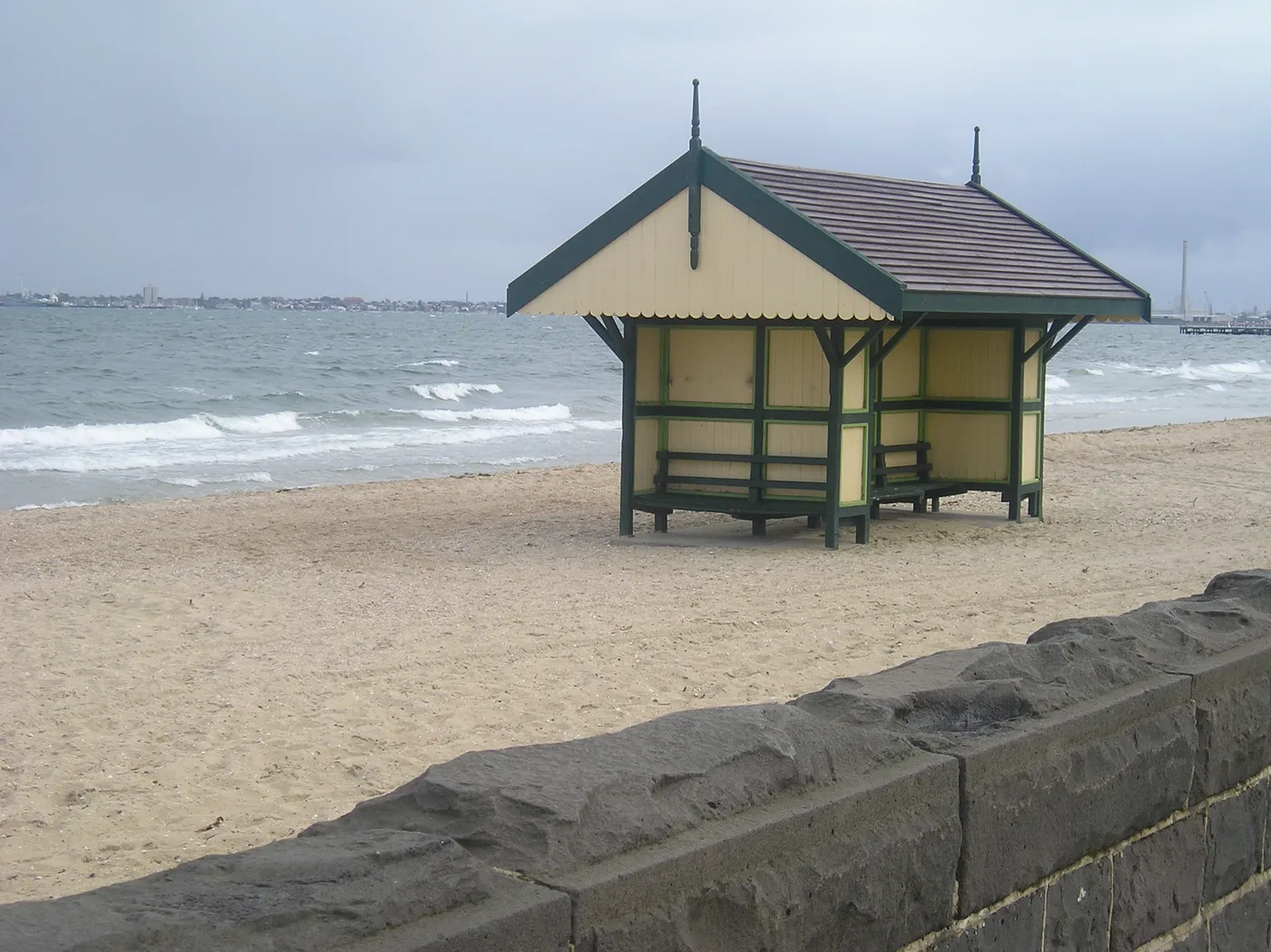
Middle Park Beach
Beach · Melbourne
Photo: Fmackz, CC BY-SA 4.0, via
Wikimedia Commons
Closest campgrounds
"The Pines" Scout Camp, 4th Altona – Seaholme, 9 km in a straight line
Discovery Parks Melbourne – Braybrook, 11 km in a straight line
Melbourne Big 4 Holiday Park – Coburg North, 15 km in a straight line
Honey Hush Caravan Park – Laverton North, 16 km in a straight line
Sundowner Caravan and Cabin Park – Springvale, 20 km in a straight line
More walks and nature nearby
Dights Falls – Waterfall, 7 km
Bay Trail West – Walk, 11 km
Gellibrand Hill – Lookout, 23 km
Pound Bend River Walk – Walk, 25 km
Wyndham Bay Trail – Walk, 27 km
Nerranjeri Wurundjeri Historic Area Lookout – Lookout, 27 km
Camping in Melbourne
Location from OpenStreetMap contributors (ODbL).