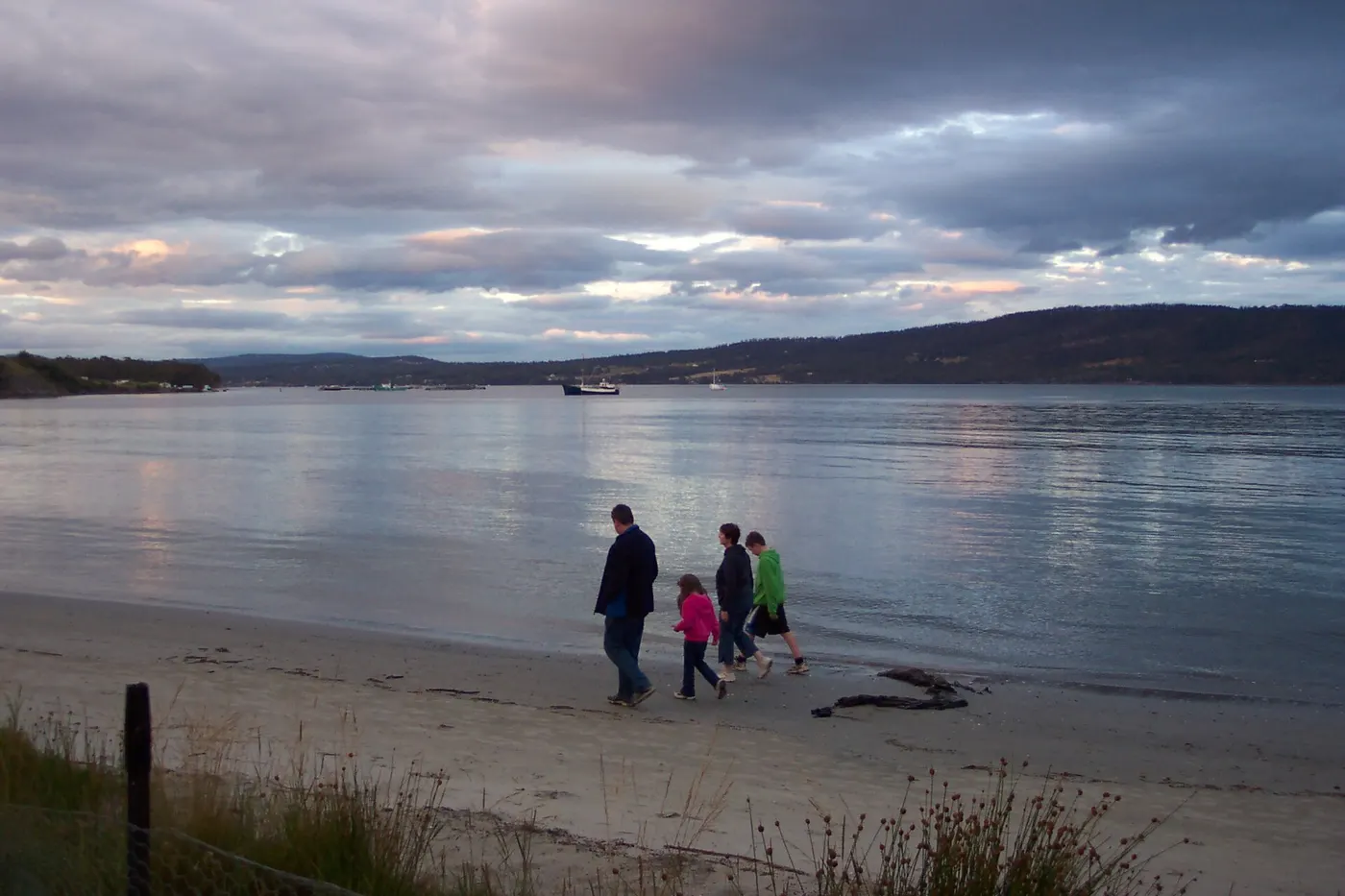
Snug Beach
Swimming spot · Hobart and the South, TAS
Photo: zpunout, CC BY-SA 3.0, via Wikimedia Commons
The D'Entrecasteaux Channel is a 60km waterway between Bruny Island and mainland Tasmania that forms the combined estuary mouth of the Derwent and Huon Rivers, with towns including Margate, Snug, Kettering, Woodbridge and Gordon along its shore
Snug Beach, at the mouth of the Snug River, has sheltered swimming and is a common spot for families, picnics and kayaking
Closest campgrounds
Snug Beach Cabin & Caravan Park
Snug · under 1 km away in a straight line
Cygnet HolidayPark
Cygnet · 19 km away in a straight line
Huon Valley Caravan Park
Ranelagh · 19 km away in a straight line
Valley Campground
Crabtree · 20 km away in a straight line
Gordon Foreshore Reserve
Gordon · 22 km away in a straight line
More walks and nature nearby
Location from OpenStreetMap contributors (ODbL). Distances are in a straight line, so the drive or walk is longer. Check the park’s own site for track closures and conditions before you go.