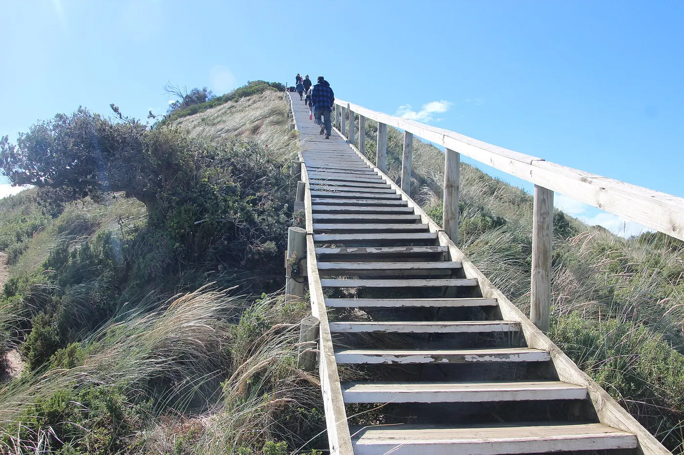
The Neck lookout walk
Walk · Bruny Island · Hobart and the South, TAS
Photo: Takver from Australia, CC BY-SA 2.0, via Wikimedia Commons
Bruny Island covers 362 km² off Tasmania's southeast coast and is essentially two islands joined by a narrow isthmus called The Neck, with South Bruny home to a national park and rainforest
South Bruny National Park camping is first come, first served, with self-registration kiosks at Jetty Beach, The Pines, Cloudy Corner and The Neck
From Wikipedia and Tasmania Parks and Wildlife.
Closest campgrounds
Neck Campground
South Bruny · 3 km away in a straight line
Gordon Foreshore Reserve
Gordon · 9 km away in a straight line
Captain Cook Holiday Park
Adventure Bay · 11 km away in a straight line
The Pines Campground
South Bruny · 21 km away in a straight line
Cloudy Corner Campground
South Bruny · 23 km away in a straight line
More walks and nature nearby
Location from OpenStreetMap contributors (ODbL). Distances are in a straight line, so the drive or walk is longer. Check the park’s own site for track closures and conditions before you go.