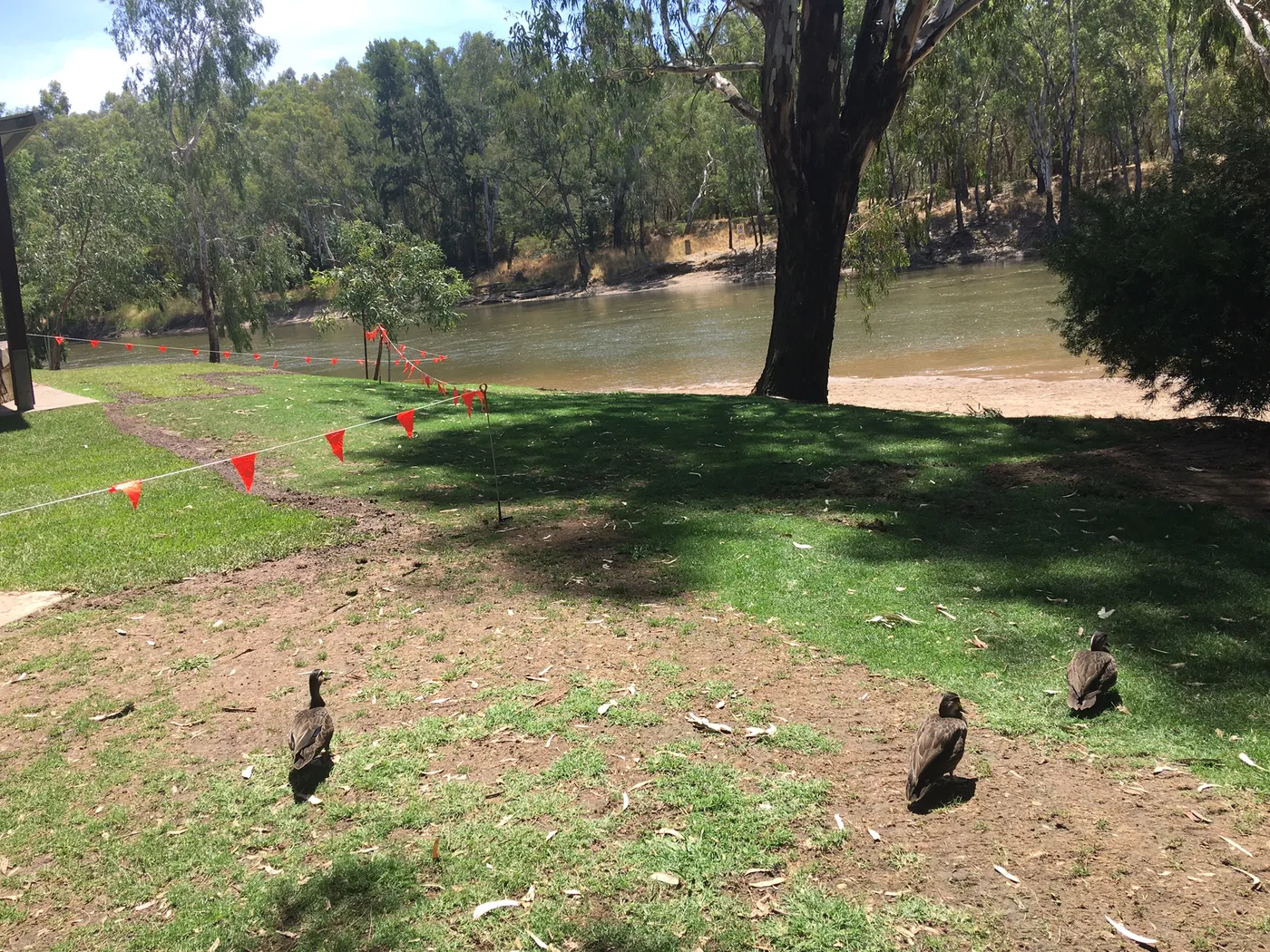
Wagga Beach
Swimming spot · Wagga Wagga · Riverina, NSW
Photo: MrMosely, CC0, via Wikimedia Commons
The Murrumbidgee River runs 1,485 kilometres through New South Wales and the Australian Capital Territory, passing through Gundagai, Wagga Wagga, Narrandera, Leeton and Hay
At Wagga Wagga, mean temperatures in the Riverina reach about 31°C in January and 12.4°C in July, with annual rainfall of 250-500mm across most of the region
Darlington Point sits on the Murrumbidgee River, 631 km southwest of Sydney and 152 km northwest of Wagga Wagga
Closest campgrounds
Wilks Park
North Wagga Wagga · under 1 km away in a straight line
BIG4 Wagga Wagga Holiday Park
East Wagga Wagga · 2 km away in a straight line
Carinya Caravan Park
Hillgrove · 8 km away in a straight line
Airport Tourist Park
Forest Hill · 9 km away in a straight line
Wagga Wagga Tourist Park
Forest Hill · 11 km away in a straight line
More walks and nature nearby
Location from OpenStreetMap contributors (ODbL). Distances are in a straight line, so the drive or walk is longer. Check the park’s own site for track closures and conditions before you go.