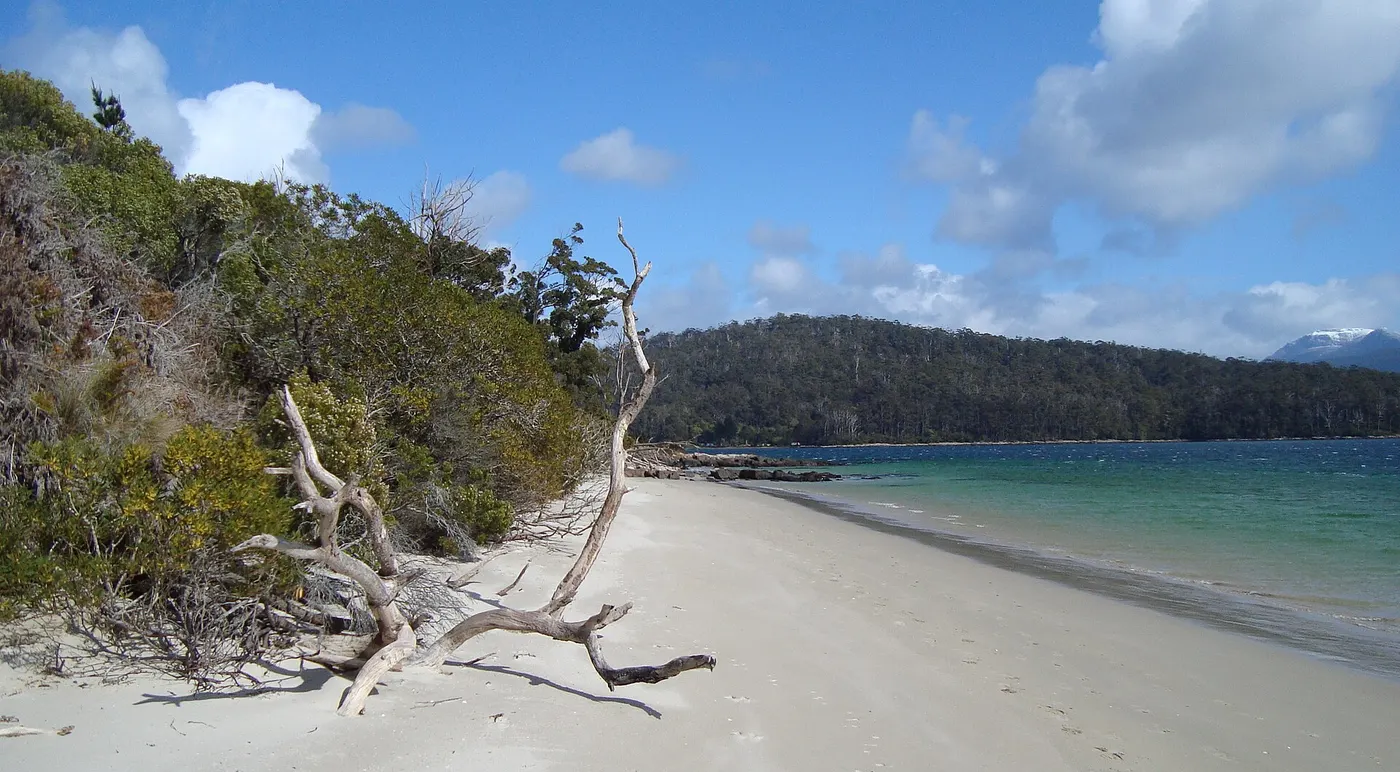
walk to Fishers Point Navigation Light
Walk · Hobart and the South, TAS
Photo: Tirin aka Takver, CC BY-SA 3.0, via Wikimedia Commons
From Cockle Creek, walks include the start of the 82km South Coast Track and shorter walks to the Fishers Point Navigation Light and South East Cape, which has cliff-top views of the Southern Ocean
From Wikipedia.
Closest campgrounds
Boltons Green Campground
Recherche · 3 km away in a straight line
Cockle Creek Campground
Recherche · 3 km away in a straight line
Ramsgate Campground
Recherche · 3 km away in a straight line
Catamaran Camping & Boatramp
Recherche · 3 km away in a straight line
Finns Beach Campground
Recherche · 4 km away in a straight line
More walks and nature nearby
Location from OpenStreetMap contributors (ODbL). Distances are in a straight line, so the drive or walk is longer. Check the park’s own site for track closures and conditions before you go.