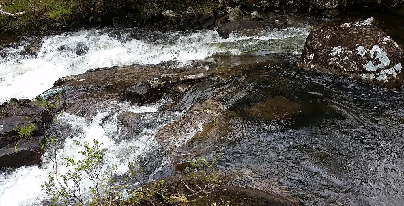
walk to Gloucester Falls
Walk · Barrington Tops National Park · Hunter, NSW
Photo: Doug Beckers from Copacabana, Australia, CC BY-SA 2.0, via Wikimedia Commons
Barrington Tops National Park covers 76,512 hectares between Scone, Singleton, Dungog, Gloucester and East Gresford, part of the Mount Royal Range spur of the Great Dividing Range.
Barrington Tops is described as a popular weekend destination from Sydney and Newcastle, with Gloucester and Dungog as nearby accommodation towns.
The six campgrounds in Barrington Tops National Park are Black Swamp, Gloucester River, Junction Pools, Little Murray, Polblue and Wombat Creek, booked through the NSW National Parks and Wildlife Service.
From Wikipedia and NSW National Parks.
Closest campgrounds
Gloucester River campground
Invergordon · 9 km away in a straight line
Old Camp Camping Area
Upper Allyn · 12 km away in a straight line
Dobbie Rim Camping Area
Upper Allyn · 12 km away in a straight line
Pademelon Park Camping Area
Upper Allyn · 13 km away in a straight line
Gunyah Camping Area
Upper Allyn · 13 km away in a straight line
More walks and nature nearby
Location from OpenStreetMap contributors (ODbL). Distances are in a straight line, so the drive or walk is longer. Check the park’s own site for track closures and conditions before you go.