
Things to do with kids in Port Lincoln & Eyre Peninsula
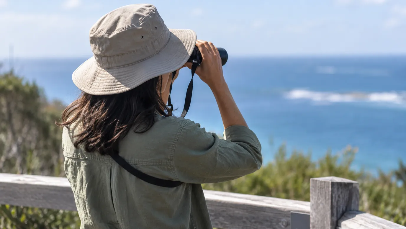
The Eyre Peninsula is big and the drives are long, so it suits a road trip more than a day out. Near Streaky Bay, the free platform at Point Labatt looks down on sea lion pups learning to swim, and Parks SA says it is the only place on the mainland you can see this. Bring binoculars and a warm jacket. The jetty pool in town is the safe place for a swim.
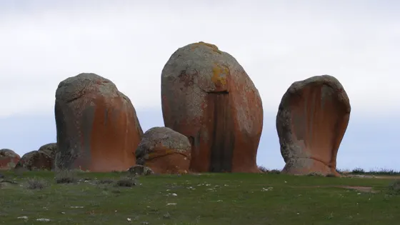
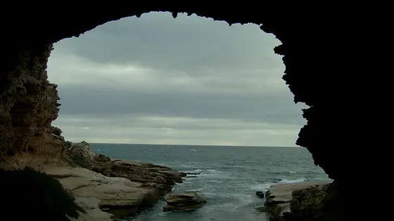
Between June and October, southern right whales rest below the cliffs at Head of Bight, about three hours west of Ceduna. Closer in, kids can clamber around the pink granite pillars of Murphy's Haystacks, and the waves have carved a huge cavern into the cliff at Talia Caves.
In Whyalla, you can tour the wartime ship HMAS Whyalla, which now sits two kilometres from the sea. Around Port Lincoln, the national parks have short walks and cliff lookouts like Point Avoid, but bring water, as there is none in the parks.
73 family outings, waterfalls and walks across the region, sorted by drive time from Port Lincoln. Choose your suburb at the top to sort from where you are staying.
✓ Everything
Free · 28
Top things to do in Eyre Peninsula
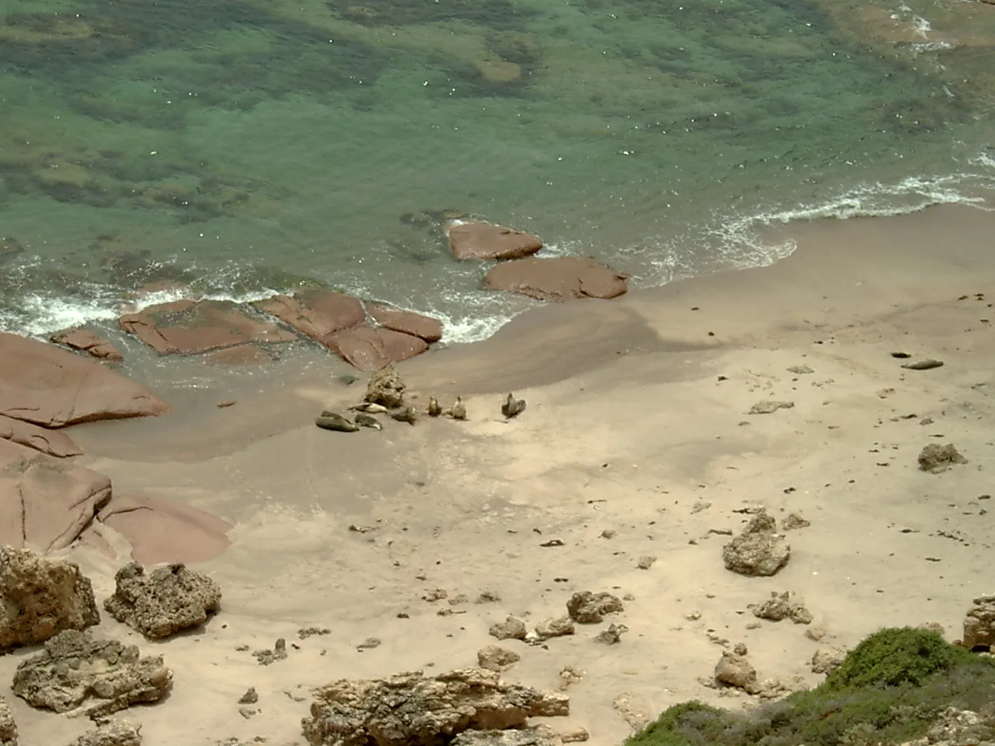
Watch sea lion pups at Point Labatt
From a platform 50m up the cliffs, you can watch Australian sea lion pups learning to swim and play. Parks SA says it's the only place on the mainland to see this, and entry is free. The park is about 50km south of Streaky Bay; bring binoculars and a windproof jacket.
about 4 hr
Lookout · Point Labatt sea lion colony
Photo: Diceman~commonswiki, Public domain
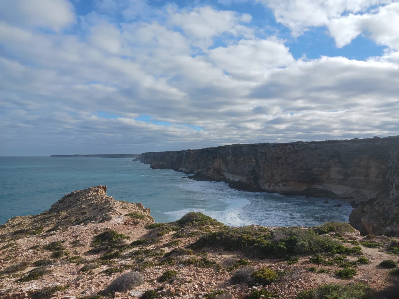
See southern right whales at Head of Bight
Southern right whales spend June to October below these cliffs, and boardwalks lead to two viewing areas. Whale season runs to 30 October, with entry 8am to 5pm and a family ticket for $50. The centre is about three hours west of Ceduna, with a café, toilets and ramps sloped for wheelchairs.
about 9 hr 45
Lookout · Head of Bight Whale Watching Centre
Photo: Calistemon, CC BY-SA 4.0
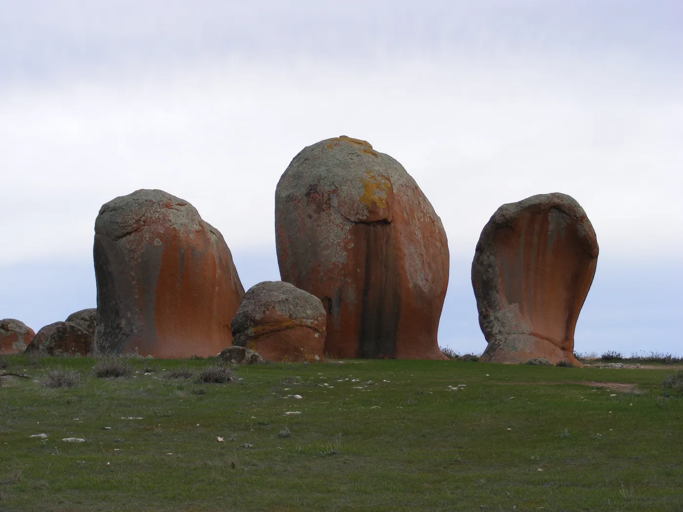
Wander among Murphy's Haystacks
These pink granite pillars and boulders near Calca were shaped by wind over more than 100,000 years. They sit on private farmland, and a donation at the gate helps keep the picnic area and toilets going. Haystacks Honey is sold at the entrance.
about 4 hr
Lookout · Murphy's Haystacks
Photo: Ldon13, CC BY-SA 4.0
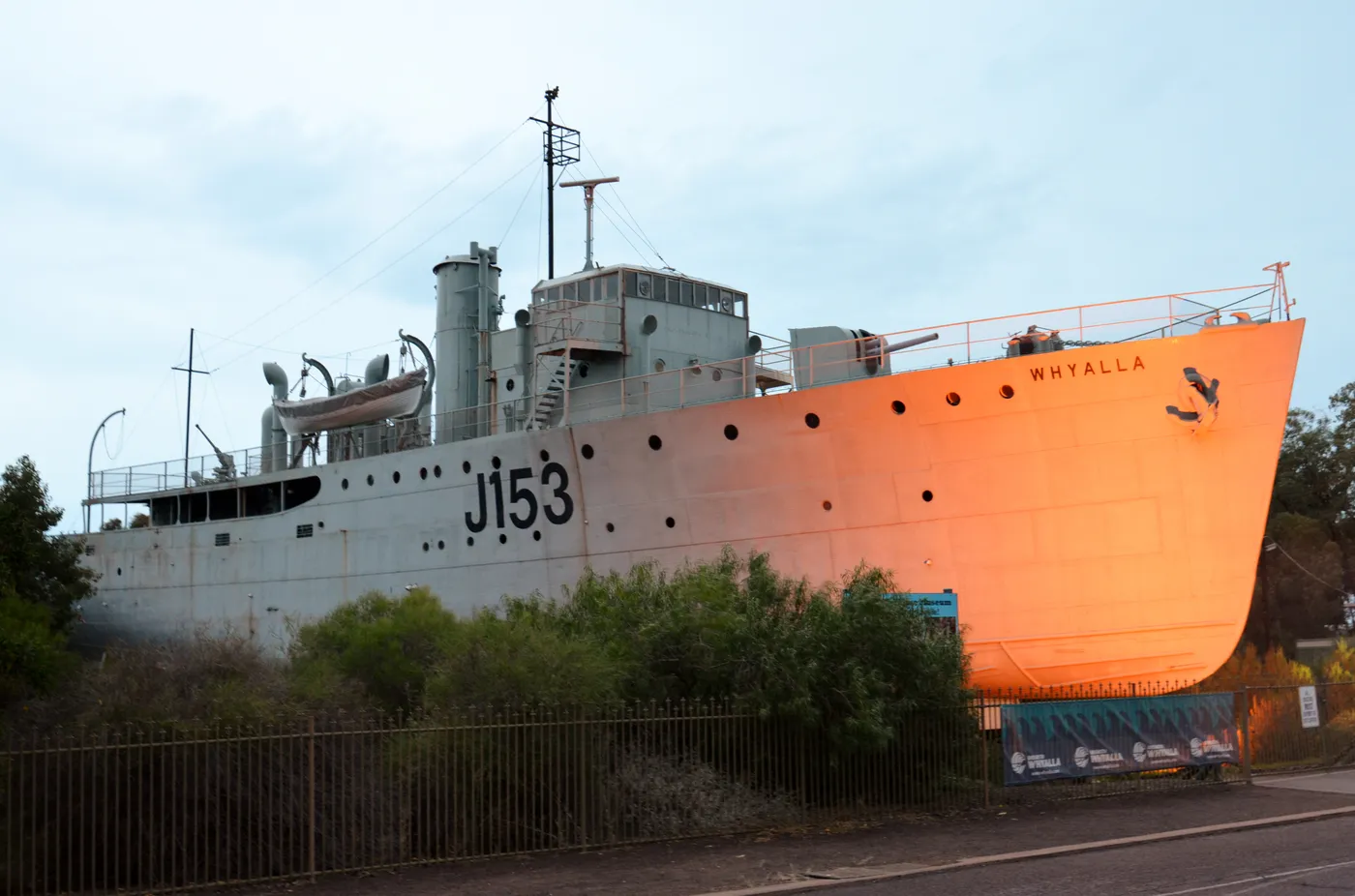
Climb aboard HMAS Whyalla
Guided tours of the WWII ship run daily at 10.30am, 11.30am and 1.30pm, and everyone needs closed-in shoes. The ship sits 2km from the sea, and the museum also has a large model railway. A family ticket for two adults and two kids, ship tour included, is $51.
about 4 hr 15
Museum · Whyalla Maritime Museum (HMAS Whyalla)
Photo: Bahnfrend, CC BY-SA 4.0
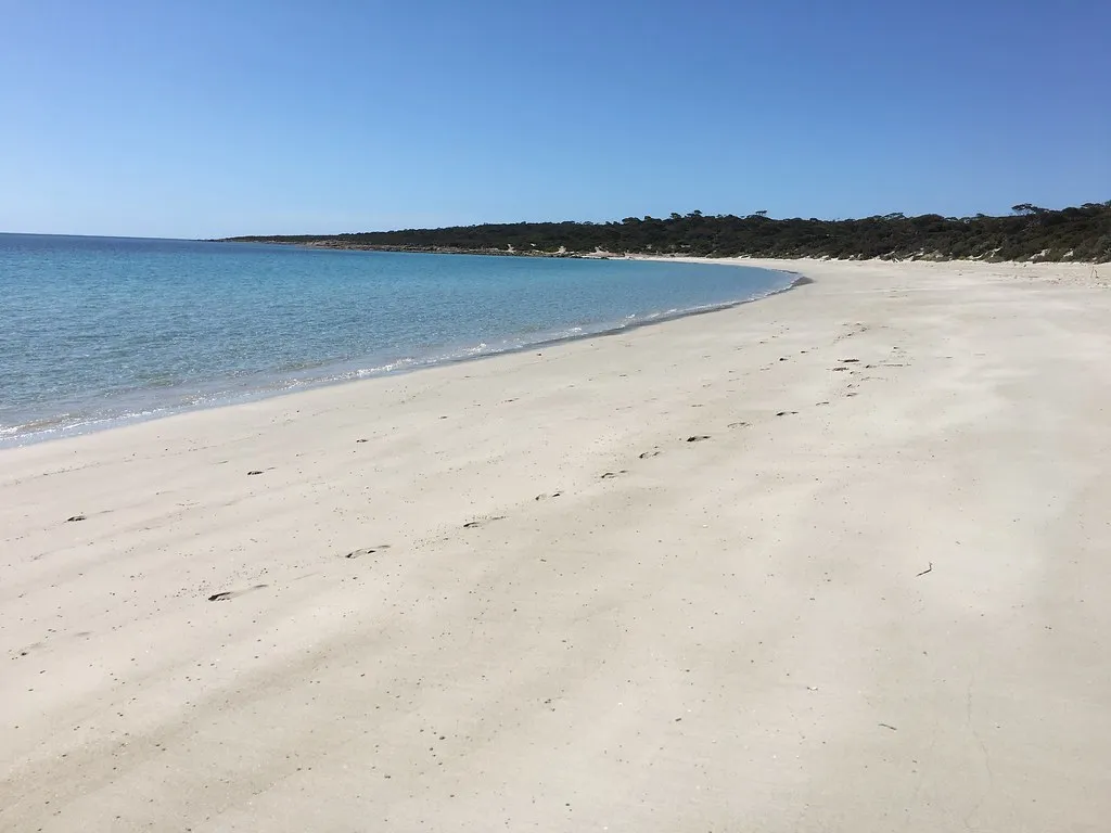
Walk from Cape Donington to September Beach
This 1km track in Lincoln National Park links the old Cape Donington lighthouse to September Beach in about 30 minutes. The park entrance is about 13km south-west of Port Lincoln, and the $14.40 vehicle fee is paid before you arrive. Parks SA warns of strong currents and rips here, so keep to beachcombing and off the slippery rocks.
about 20 min
Beach · September Beach
Photo: myportlincoln.com, CC BY 2.0
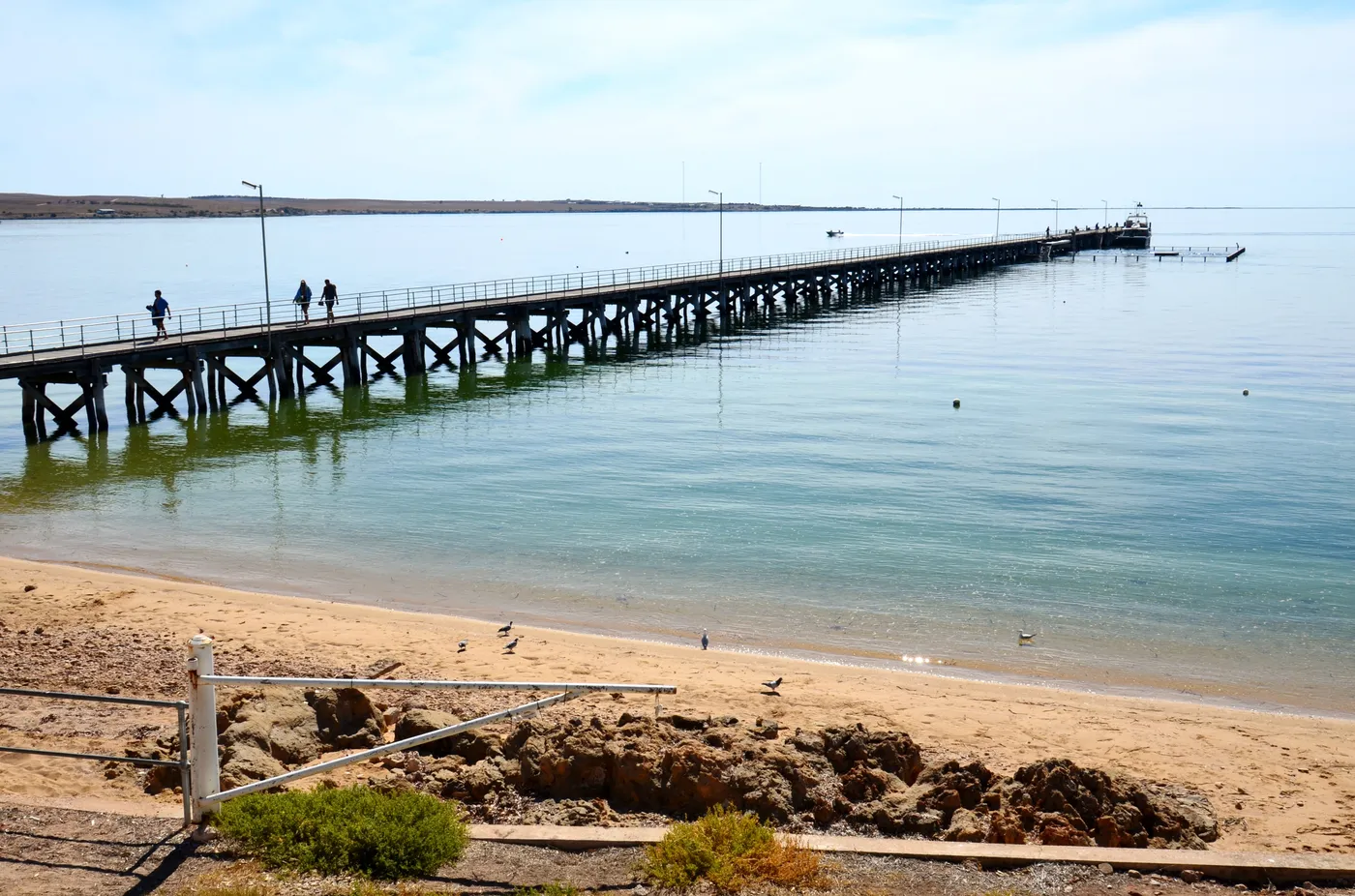
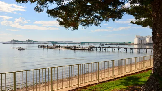
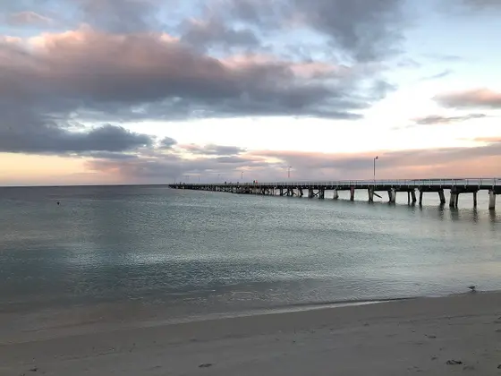
Swim in the Streaky Bay jetty pool
This enclosed swimming area next to the jetty suits families with kids of all ages. Playgrounds, picnic spots, toilets and showers are close by on the foreshore. Streaky Bay's back beach has strong rips, so the jetty pool is the place for a dip.
about 4 hr 30
Swimming spot · Streaky Bay Jetty pool
Photo: Bahnfrend, CC BY-SA 4.0
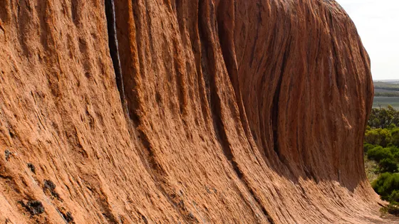
Climb the curves of Pildappa Rock
Pildappa's granite sweeps up in wave-like curves on its northern and southern faces. Walk or drive the trail around the base, or climb to the top for views to the Gawler Ranges. It's free, 15km off the Eyre Highway via Minnipa, with barbecues and toilets.
about 4 hr
Lookout · Pildappa Rock
Photo: Stephen Edmonds, CC BY-SA 3.0
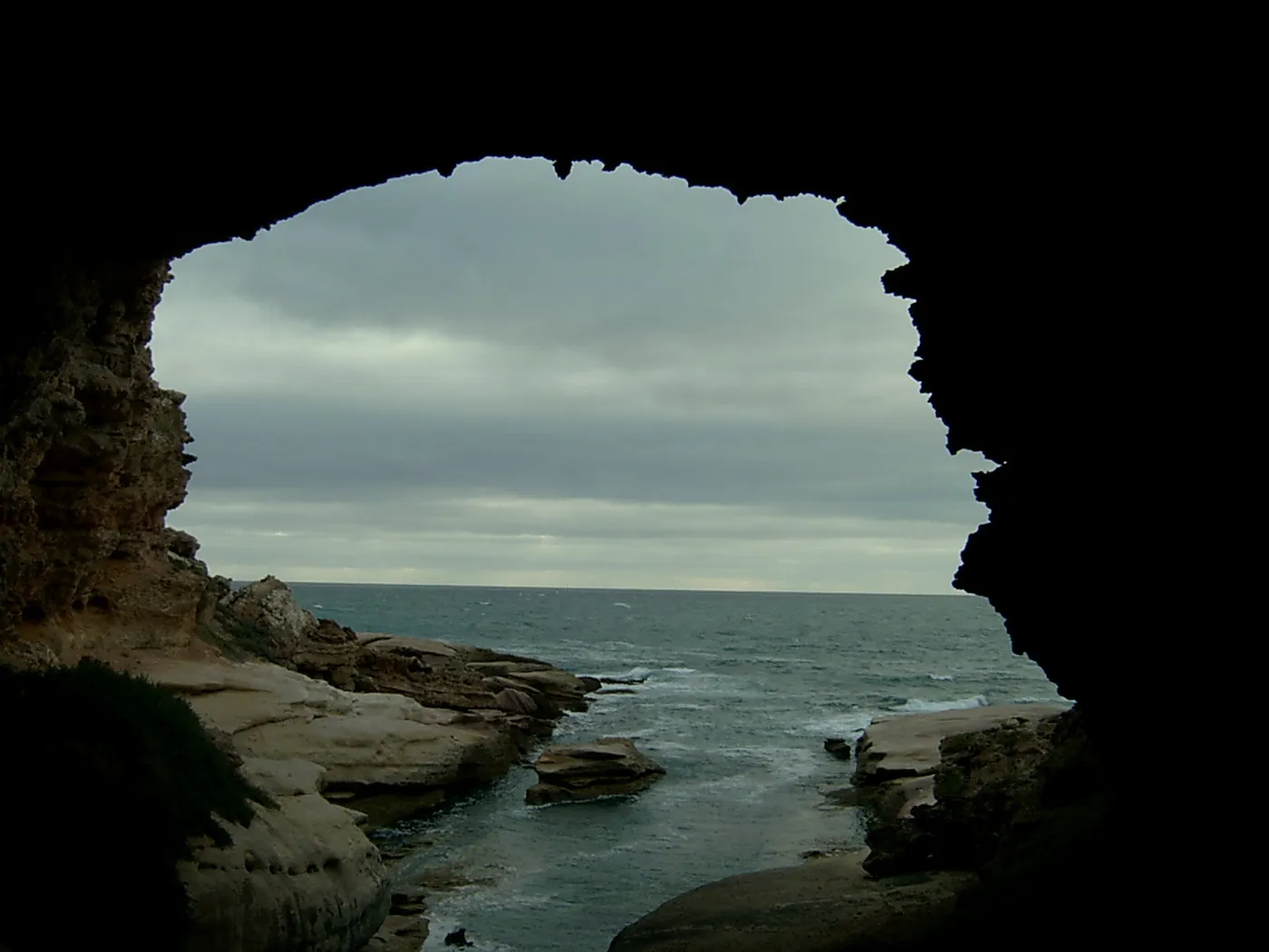
Step into the Woolshed at Talia Caves
A walkway and wooden steps lead down to the Woolshed, a big cavern the waves carved into the granite cliff. Nearby, the Tub is a crater up to 30m deep with a tunnel to the sea. Entry is free, about 40km north-west of Elliston.
about 3 hr 15
Cave · Woolshed Cave (Talia Caves)
Photo: user:Diceman, Public domain
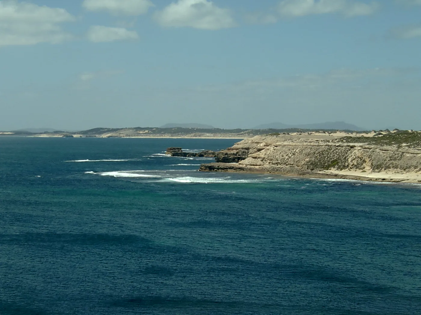
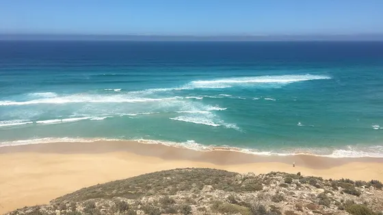
Look for whales from Point Avoid
A sealed road runs all the way to Point Avoid in Coffin Bay National Park, about 50km west of Port Lincoln. In winter, southern right whales are sometimes seen from the Avoid Bay cliffs. Entry is $14.40 per vehicle, and there's no water in the park, so bring your own.
about 55 min
Lookout · Point Avoid Lookout
Photo: Wikipedian, CC BY-SA 3.0
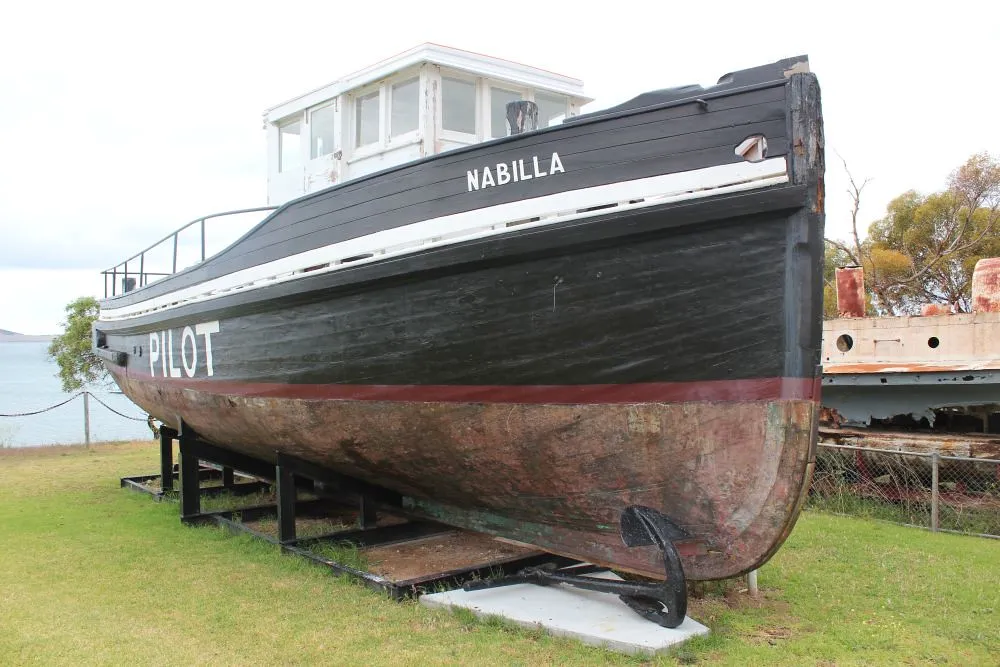
See a working slipway at Axel Stenross
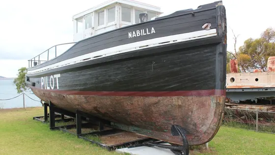
Port Lincoln's maritime museum keeps Axel Stenross's living quarters and workshops, a slipway that still works and restored old boats. It opens Tuesday, Thursday and Sunday from 9.30am to 4.30pm, and Saturday afternoons. Entry is $10 for adults or $20 for a family of four.
under 5 min
Museum · Axel Stenross Maritime Museum
Photo: South Australian History Network, CC0
Everything on the map
Nearest first, from Port Lincoln
Animals
Beaches and islands


Over 30 minutes
from Port Lincoln
Over 1½ hours
from Port Lincoln
Waterfalls, lakes and swimming

Over 30 minutes
from Port Lincoln
Over 1½ hours
from Port Lincoln

Walks and lookouts


Over 30 minutes
from Port Lincoln

Over 1½ hours
from Port Lincoln

Big playgrounds


Museums and history
Over 30 minutes
from Port Lincoln


Over 1½ hours
from Port Lincoln


Libraries, cinemas and theatres


Over 30 minutes
from Port Lincoln

Over 1½ hours
from Port Lincoln

Also in this region, more than 4 hours from Port Lincoln
Douglas Point (about 4 hr 15): Whyalla Kart Club
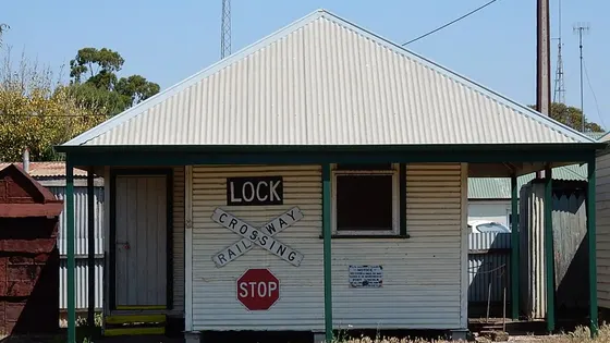
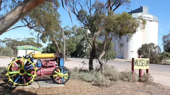
Poochera (about 4 hr 15): Poochera District Museum
Whyalla Norrie (about 4 hr 15): Mount Laura Station-National Trust, Whyalla Library, Whyalla Country Arts
Elsewhere in the region (about 4 hr 15): Jim Pollock Whyalla Wetlands, Flinders Lookout, Whyalla Foreshore, Hummock Hill Lookout, Yanerbie Sandhills, Smooth Pool, Point Lowly Lighthouse, Streaky Bay Jetty pool, Whistling Rocks and the Blowholes, Smoky Bay Jetty swimming enclosure, Ceduna Jetty swimming enclosure, Lake MacDonnell, Head of Bight Whale Watching Centre
Whyalla Barson (about 4 hr 15): New Beach
Whyalla Playford (about 4 hr 15): Whyalla Maritime Museum (HMAS Whyalla)
Whyalla Conservation Park (about 4 hr 15): Wild Dog Hill
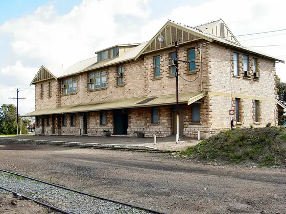
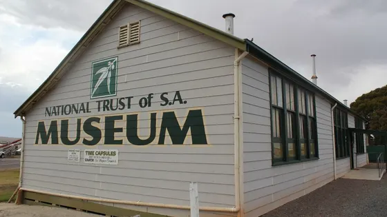
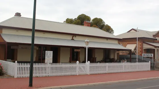
Streaky Bay (about 4 hr 30): Streaky Bay National Trust Museum
Ceduna (about 6 hr): Ceduna School House - National Trust SA
Drive times are estimated from the distance, so treat them as a guide. Tap a card for the full page.
Region boundary: ABS Tourism Regions 2021 (Tourism Research Australia), CC BY 4.0. Outings from OpenStreetMap contributors (ODbL) and venues' own listings; nature spots from OpenStreetMap and park services.