
Things to do with kids in Gippsland Lakes
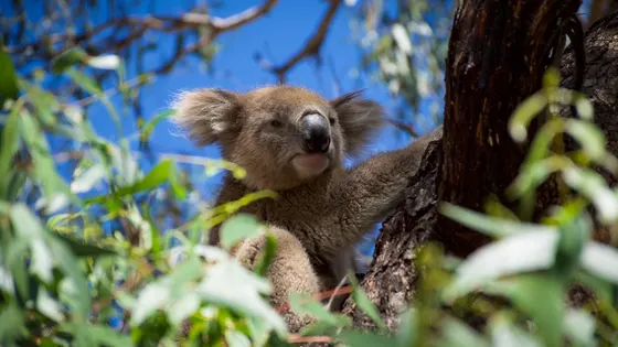
The best thing to do here with kids is catch the little ferry from Paynesville to Raymond Island. It is free on foot, and the koala trail takes about 40 minutes, with koalas asleep in the gums and kangaroos grazing nearby.
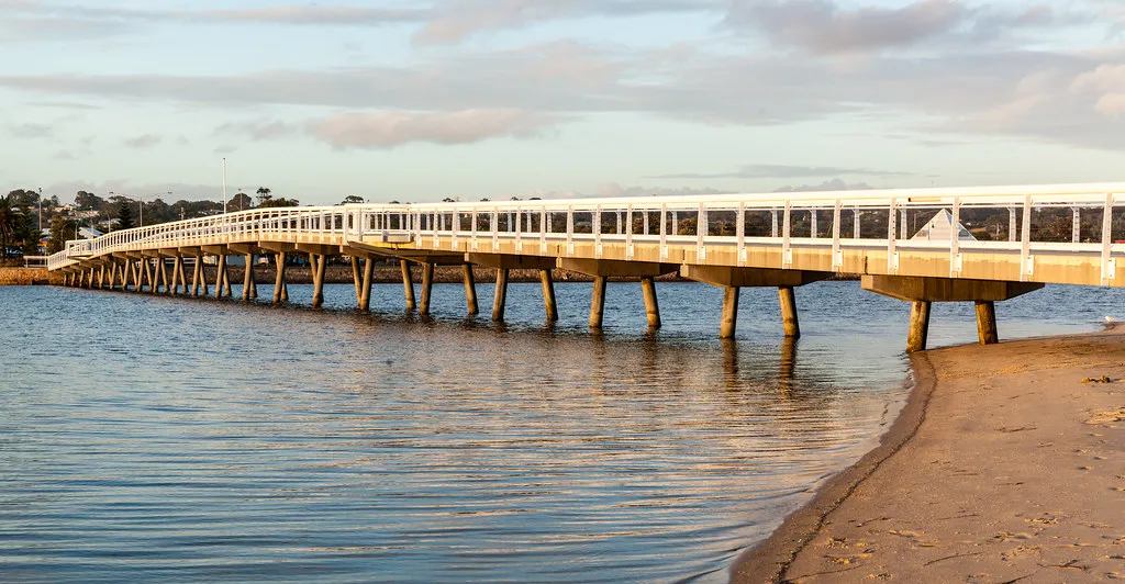
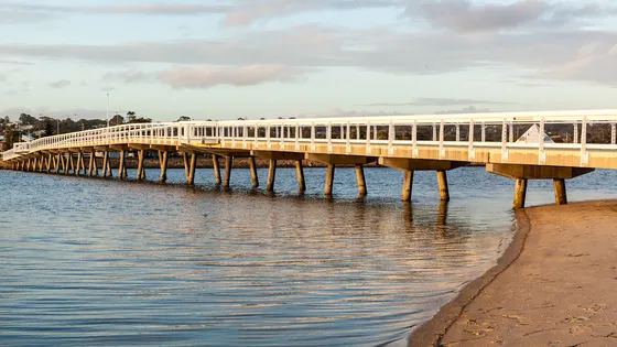
In Lakes Entrance, a footbridge from town crosses to the surf at Ninety Mile Beach, which is patrolled on summer weekends and holidays. For calmer water, hire a kayak on the lake side. The Entrance Walk follows the shore out to Flagstaff Hill, where you can watch boats cross the bar and seals lazing on the rocks.
Inland, kangaroos laze around the campground at Buchan Caves, and guided tours of Fairy Cave show off the stalactites; book at least a day ahead. Near Bairnsdale, you can drive out along the Mitchell River silt jetties, which reach eight kilometres into the lake.
73 family outings, waterfalls and walks across the region, sorted by drive time from Lakes Entrance. Choose your suburb at the top to sort from where you are staying.
✓ Everything
Free · 43
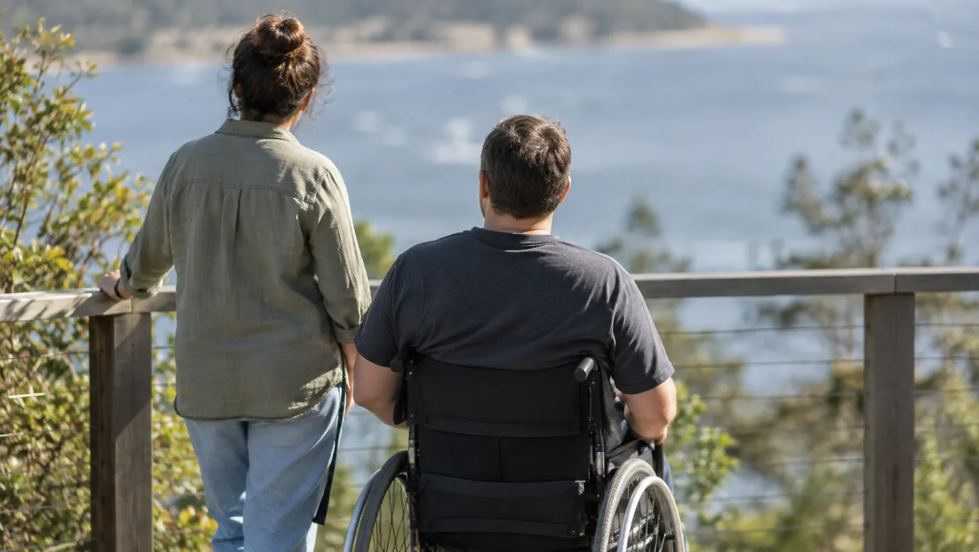
Wheelchair access · 1
Top things to do in Gippsland Lakes
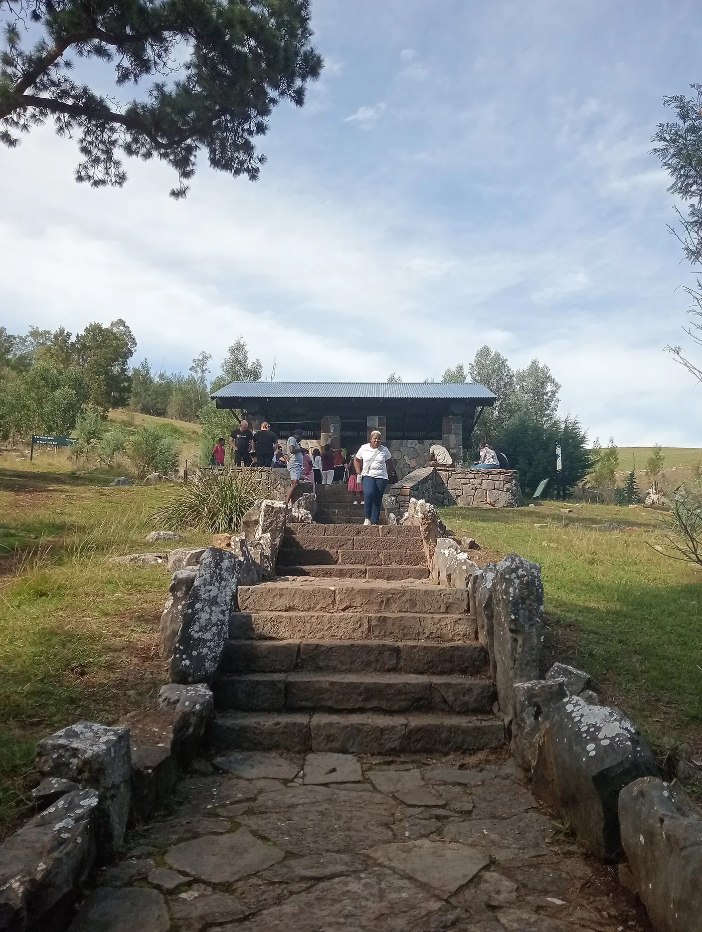
Spot kangaroos at Buchan Caves Reserve
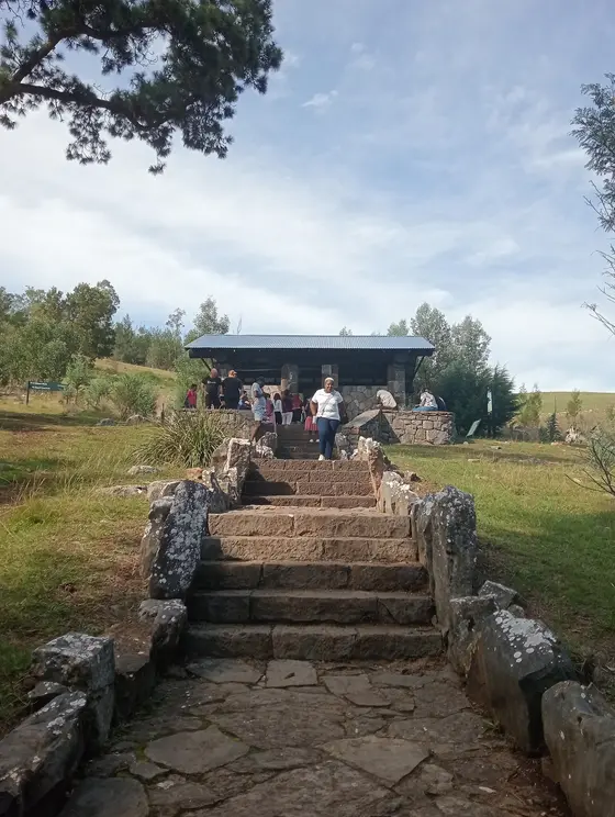
Kangaroos laze around the campground and visitor centre at this riverside reserve, about 45km north of Lakes Entrance. Bring a torch for the 30-minute Moon Hill Walk, which stops at the entrance of Moon Cave. The 2km FJ Wilson walk passes caves and limestone formations on its way to the Fairy Cave entrance.
about 50 min
Cave · Buchan Caves
Photo: Shinzztv, CC BY-SA 4.0
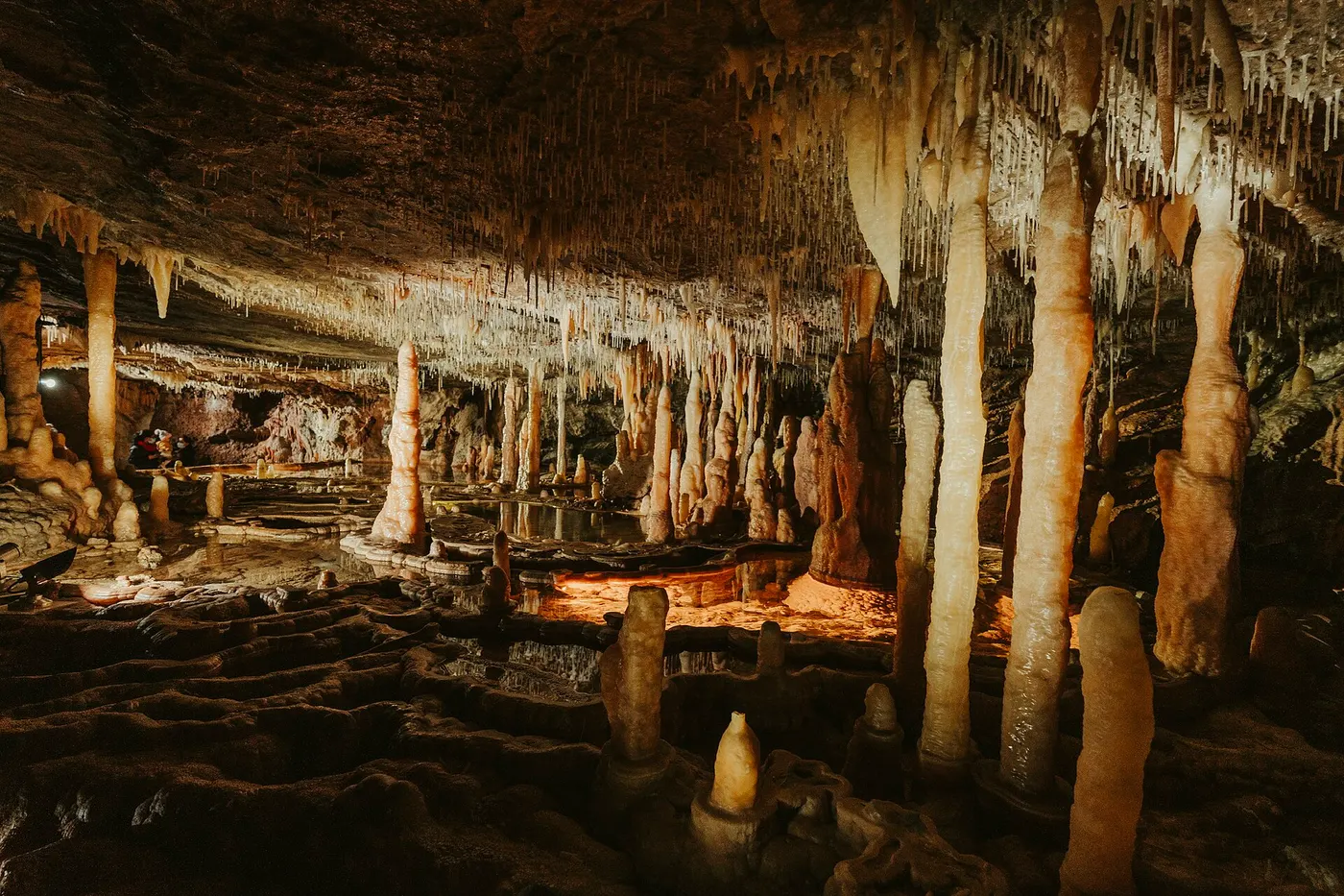
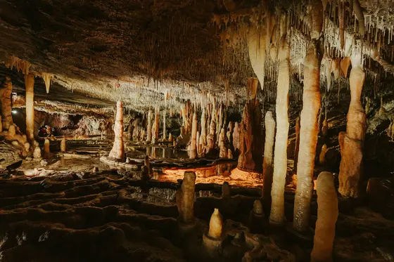
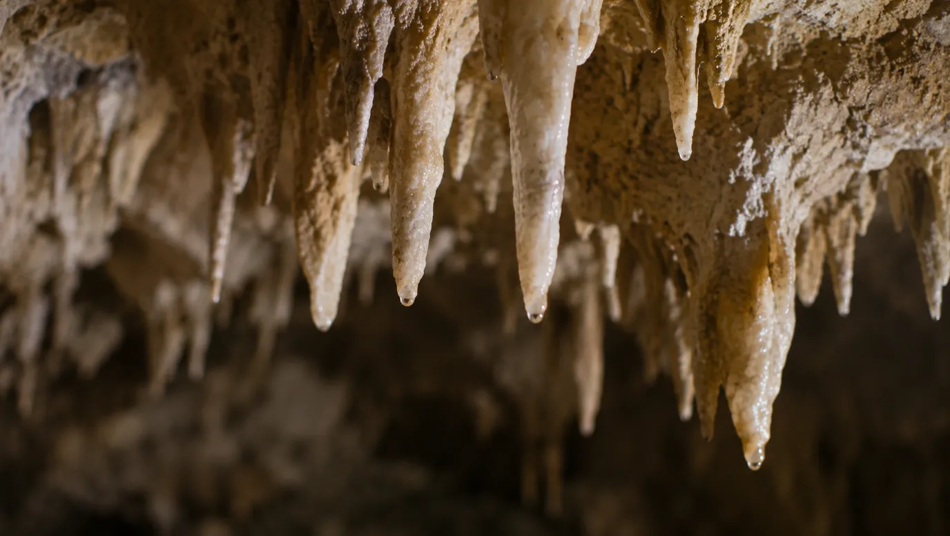
Take a guided tour of Fairy Cave
Guided tours lead through Fairy Cave's ornate chambers of stalactites and stalagmites. Royal Cave, the other show cave, has glassy calcite-rimmed pools, and tours of both run daily. Bookings are essential and must be made at least 24 hours ahead.
about 50 min
Cave · Fairy Cave
Photo: Mattplaysthedrums, CC BY-SA 4.0
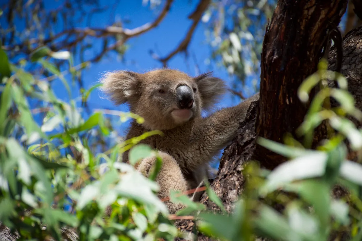
Find koalas on Raymond Island
A five-minute ferry from Paynesville, free for people on foot or bikes, takes you across to Raymond Island. The 1.2km Koala Trail loop starts at Ferry Park and takes about 40 minutes; look up into the gums for sleeping koalas. Kangaroos graze along the way, and family bikes can be hired behind Ferry Park.
4-minute ferry from Paynesville (free for foot passengers and bikes)
Walk · Raymond Island Koala Trail
Photo: Andrea.Messina93, CC BY-SA 4.0
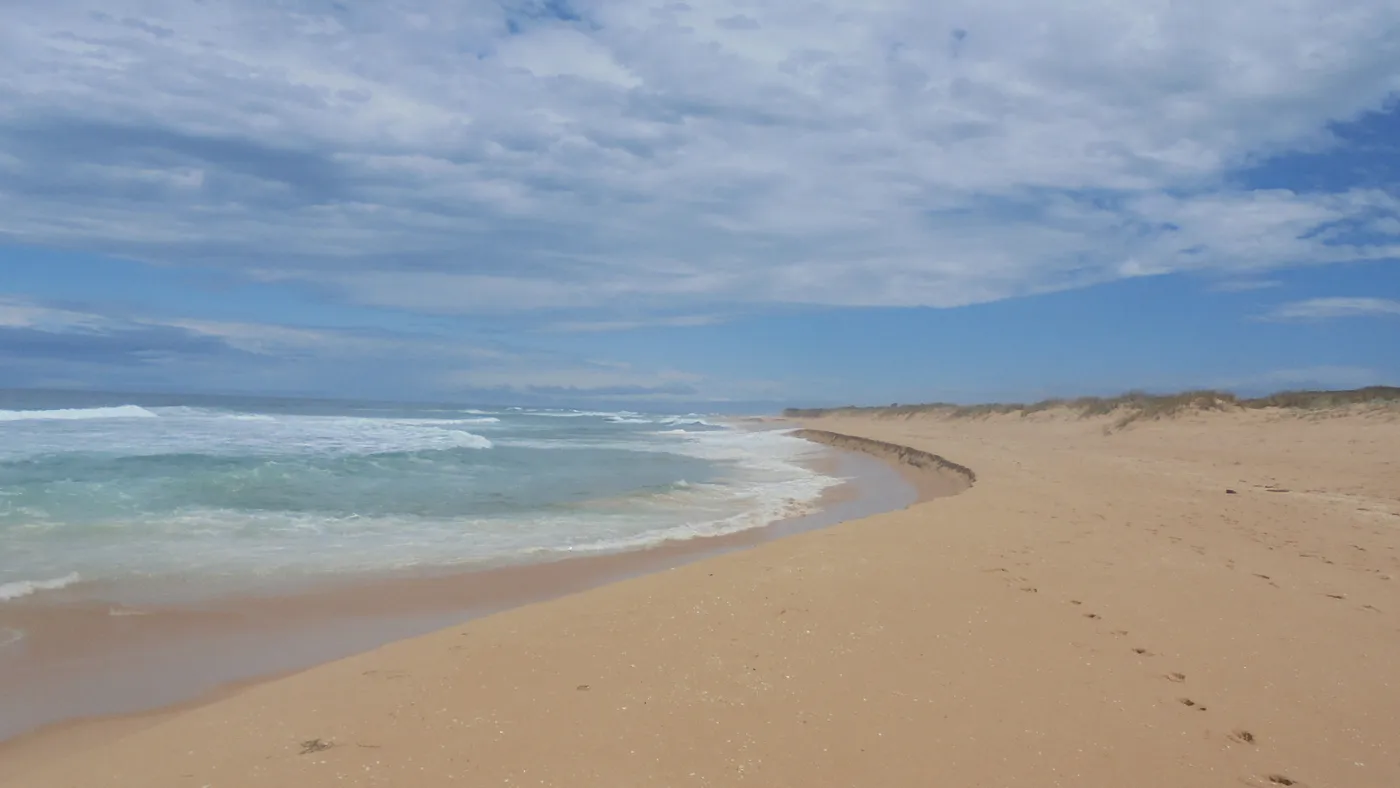
Cross the footbridge to Ninety Mile Beach
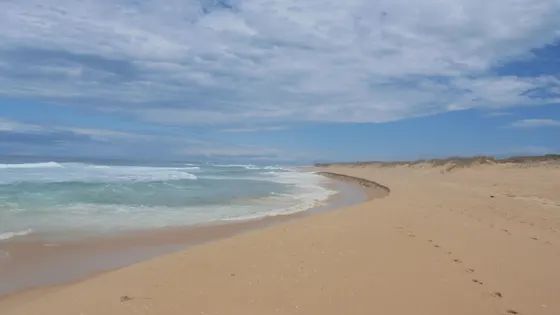
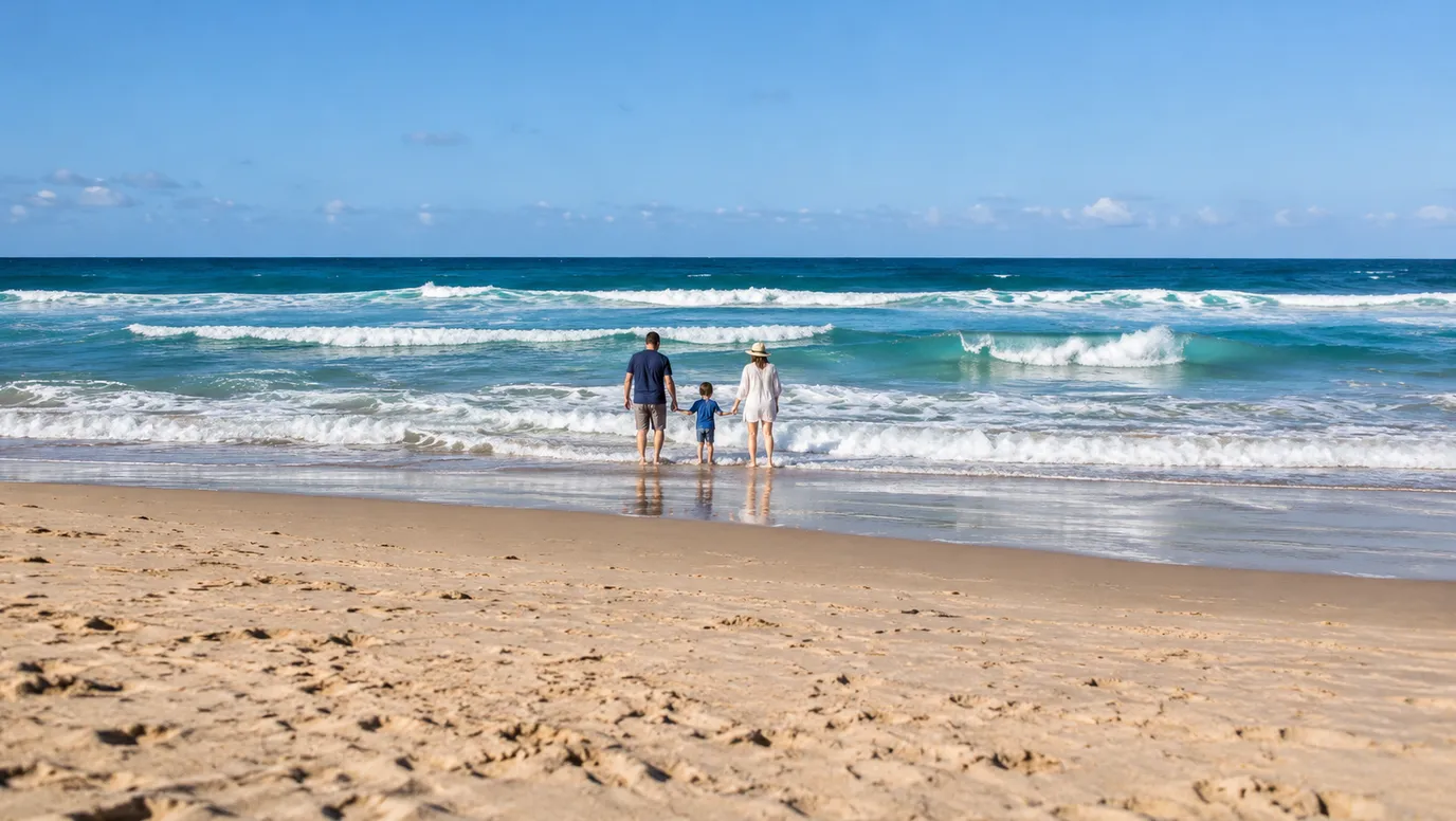
The main beach is a 400m walk over the footbridge from town, at the eastern end of Ninety Mile Beach. Lifesavers patrol it on school holidays and weekends from December to Easter, and Visit Gippsland warns of strong currents. For a calmer paddle, take a kayak onto Cunninghame Arm behind the dunes.
under 5 min
Beach · Lakes Entrance Main Beach (Ninety Mile Beach)
Photo: Roni, CC BY-SA 4.0
Walk out to watch boats cross the bar
The 4.6km Hummocks Walk follows the lake's edge from the footbridge to Flagstaff Hill, about 90 minutes return. From the hill, watch boats crossing the bar, and look for seals lazing on the rocks. Come back along the sand to make a loop, cutting through the dunes at the surf lifesaving tower.
under 5 min
Walk · Entrance Walk
Photo: russellstreet, CC BY-SA 2.0
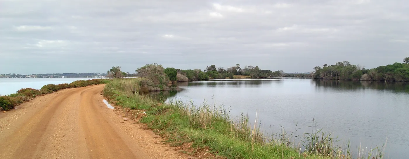
Drive out along the silt jetties
These natural silt banks stretch 8km into Lake King, and are the world's longest. Drive down the southern jetty, then walk the shoreline, bring bikes, or fish for bream and flathead. Pelicans and swans are easiest to spot at sunrise and sunset.
about 35 min
Walk · Mitchell River Silt Jetties
Photo: Ian Fieggen, CC BY-SA 3.0
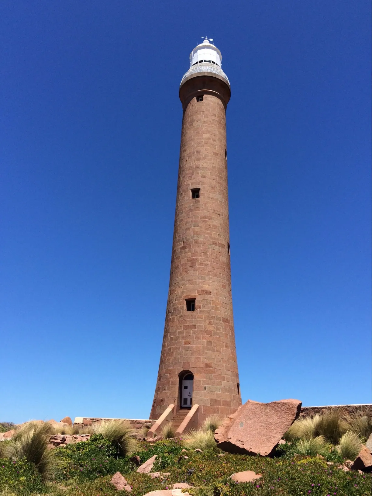
Stay with the lighthouse on Gabo Island
Gabo Island has Victoria's only operating island lighthouse, 47 metres of pink granite built between 1858 and 1862. Getting there depends on the weather, by boat from Mallacoota or by licensed charter plane from Merimbula. Families staying in the assistant lightkeeper's residence, with a three-night minimum, can watch little penguins come ashore after dark from August to December.
boat from Mallacoota (about 14 km) or licensed charter flight from Merimbula, weather permitting
Island · Gabo Island
Photo: Big Al 15, CC BY-SA 4.0
Walk to the Den of Nargun
In Gunaikurnai legend, the Nargun, half human and half stone, lives in this cave behind a waterfall in Mitchell River National Park. The picnic area, about 40km north of Bairnsdale, has toilets, tables and a gas barbecue, and the walk starts there. Please respect this special place by staying out of the cave.
about 1 hr
Walk · Den of Nargun
Everything on the map
Over the border
Nearest first, from Lakes Entrance
Beaches and islands

Over 1½ hours
from Lakes Entrance
Waterfalls, lakes and swimming
Over 30 minutes
from Lakes Entrance
Over 1½ hours
from Lakes Entrance
Walks and lookouts
Over 30 minutes
from Lakes Entrance


Over 1½ hours
from Lakes Entrance
Big playgrounds

Over 30 minutes
from Lakes Entrance


Play

Over 30 minutes
from Lakes Entrance

Museums and history
Over 30 minutes
from Lakes Entrance






Over 1½ hours
from Lakes Entrance



Libraries, cinemas and theatres

Over 30 minutes
from Lakes Entrance




Over 1½ hours
from Lakes Entrance


Also in this region, more than 4 hours from Lakes Entrance
Gabo Island Lighthouse Reserve (boat from Mallacoota (about 14 km) or licensed charter flight from Merimbula, weather permitting): Gabo Island
Drive times are estimated from the distance, so treat them as a guide. Tap a card for the full page.
Region boundary: ABS Tourism Regions 2021 (Tourism Research Australia), CC BY 4.0. Outings from OpenStreetMap contributors (ODbL) and venues' own listings; nature spots from OpenStreetMap and park services.