
Things to do with kids in Gippsland
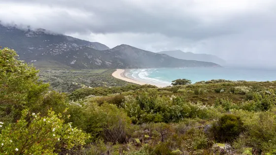
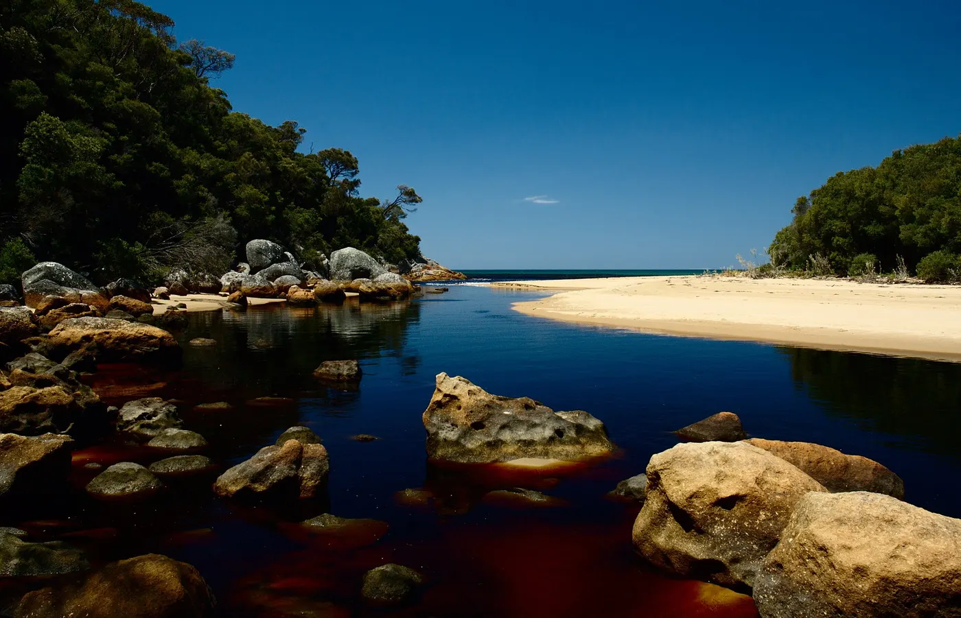
Wilsons Promontory is the highlight of Gippsland. Kids love Squeaky Beach, where the sand really does squeak underfoot, but there are rips and no lifesavers, so keep it for playing on the sand. Older kids can climb Mount Oberon in about two hours return for a view over the whole Prom.
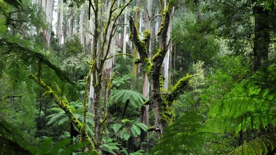
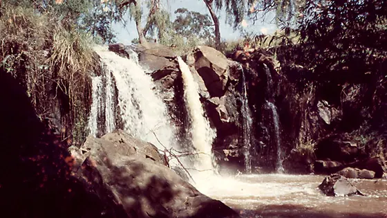
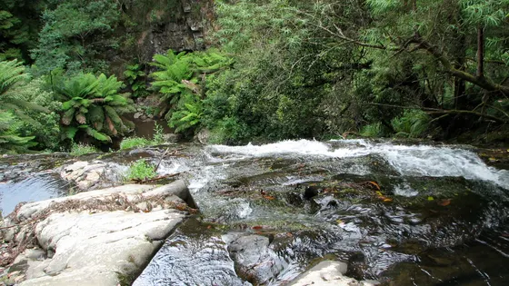
In the Strzelecki Ranges, Tarra-Bulga has two short rainforest walks that suit little legs. One crosses the Corrigan Suspension Bridge over a fern gully, where you might hear lyrebirds. The other follows a creek to Cyathea Falls. Nearby, Agnes Falls is only a 200-metre walk from the car park.
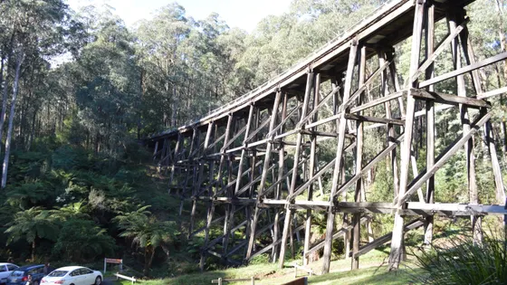
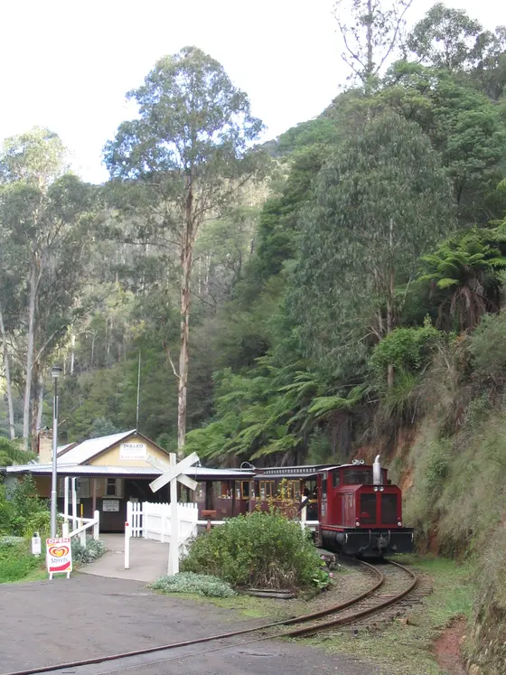
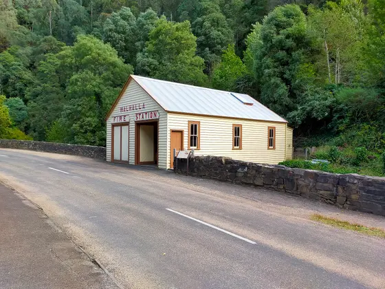
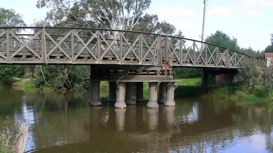
In the old gold town of Walhalla, the Goldfields Railway winds through a gorge and over seven bridges. In the west near Noojee, you can picnic under a tall timber trestle bridge, or walk the loop past Toorongo Falls.
101 family outings, waterfalls and walks across the region, sorted by drive time from Traralgon. Choose your suburb at the top to sort from where you are staying.
✓ Everything
Free · 51
Sensory-friendly · 3
Top things to do in Gippsland
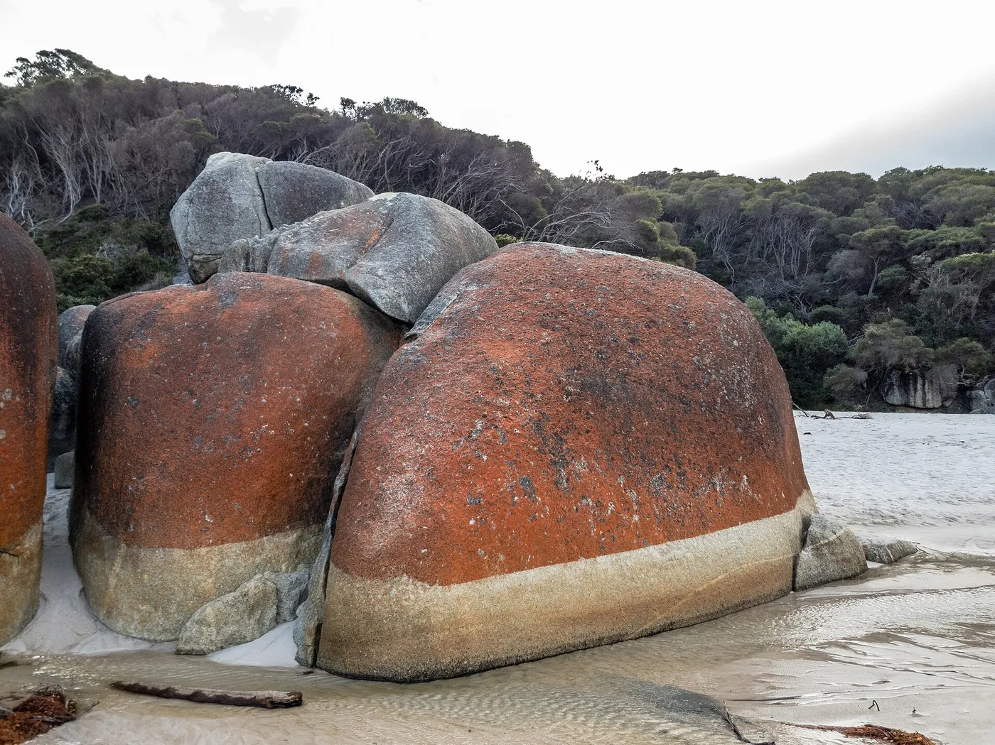
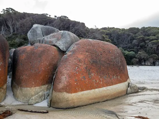
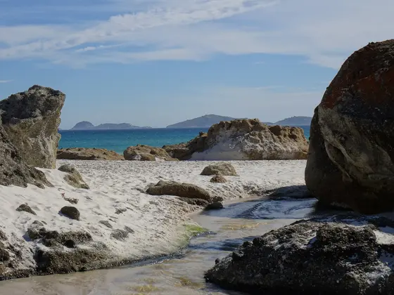
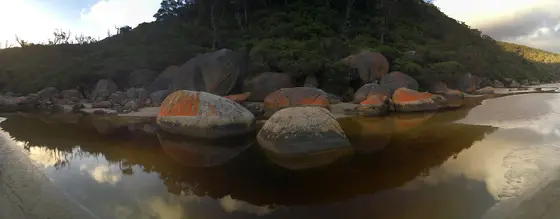
Hear the sand squeak at Squeaky Beach
Fine, rounded quartz grains squeak underfoot, and granite boulders frame both ends of the beach. The car park fills quickly, so consider the 4.2km return walk from Tidal River, about 90 minutes. Persistent rips and no lifesavers make this a beach for the sand, not for swimming.
about 1 hr 45
Walk · Squeaky Beach
Photo: Dietmar Rabich, CC BY-SA 4.0
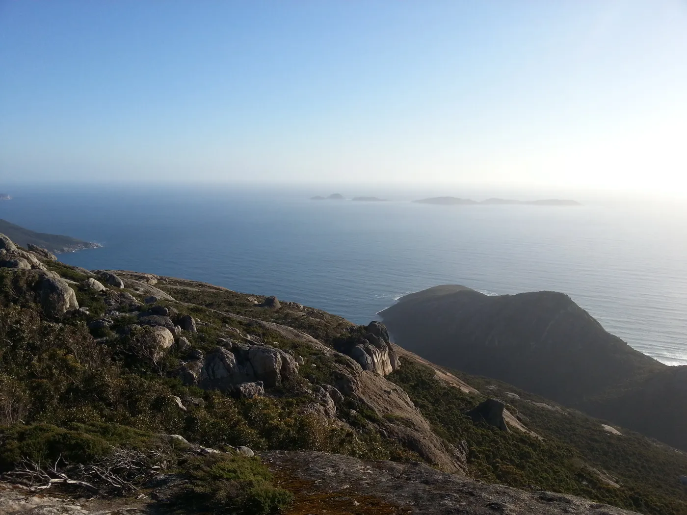
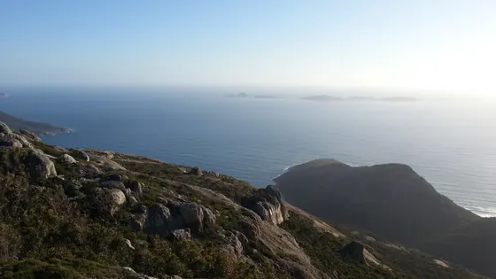
Climb Mount Oberon for views over the Prom
The 6.8km return walk from Telegraph Saddle car park takes about two hours, climbing steadily to a summit platform. The last 100 metres is a steep climb up timber and granite steps. From the top you see the coastline, Tidal River and the offshore islands.
about 1 hr 45
Walk · Mount Oberon Summit Walk
Photo: Dhx1, CC0
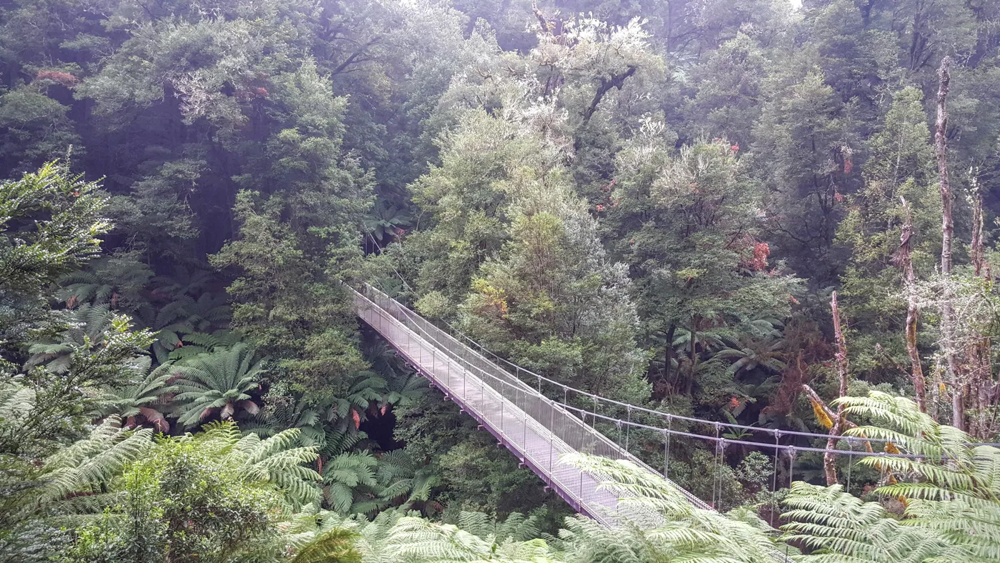
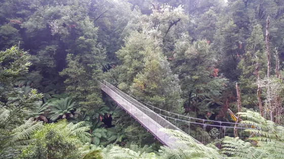
Cross Corrigans Suspension Bridge
The 720m Fern Gully Nature Walk crosses the suspension bridge above a fern gully and takes about 15 minutes from Bulga Picnic Area. Look up at a 60-metre mountain ash and listen for lyrebirds. The Balook visitor area has electric barbecues, a picnic shelter and accessible toilets.
about 35 min
Walk · Corrigan Suspension Bridge
Photo: DumindaRanasinghe, CC BY-SA 4.0
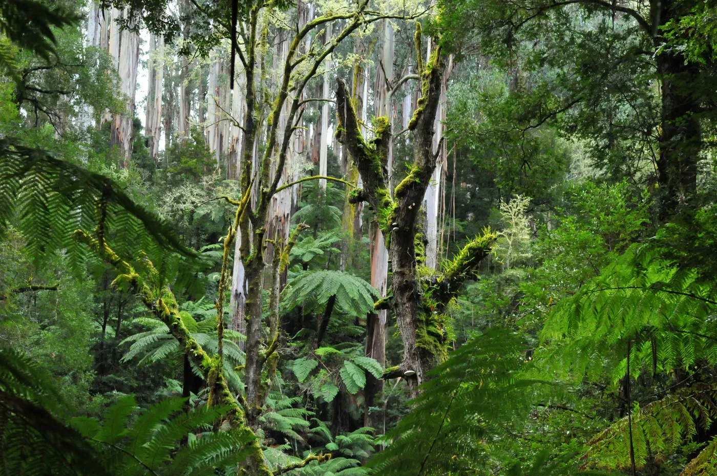
Follow the Tarra Valley rainforest to Cyathea Falls
This 1.4km return walk from the Tarra Valley Picnic Area takes about 35 minutes. It winds under myrtle beech and tree ferns, across little mountain streams, to the falls. The picnic area at the start has creek views and picnic facilities.
about 35 min
Waterfall · Cyathea Falls
Photo: Michael Barnett, CC BY-SA 3.0
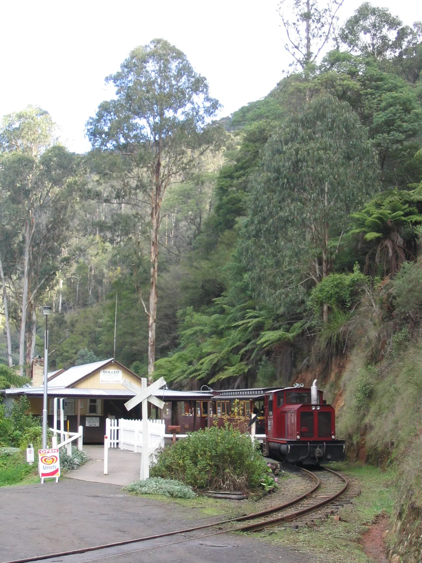
Ride the train through Stringers Gorge
The one-hour journey leaves historic Walhalla Station and winds through Stringers Gorge, crossing seven bridges before the Thomson River bridge. Passengers hop off to look around Thomson Station before the return trip. Trains run on Wednesdays, Saturdays and Sundays, and every day in school holidays.
about 35 min
Heritage · Walhalla Goldfields Railway
Photo: Wikimedia Commons contributor, CC BY 2.0
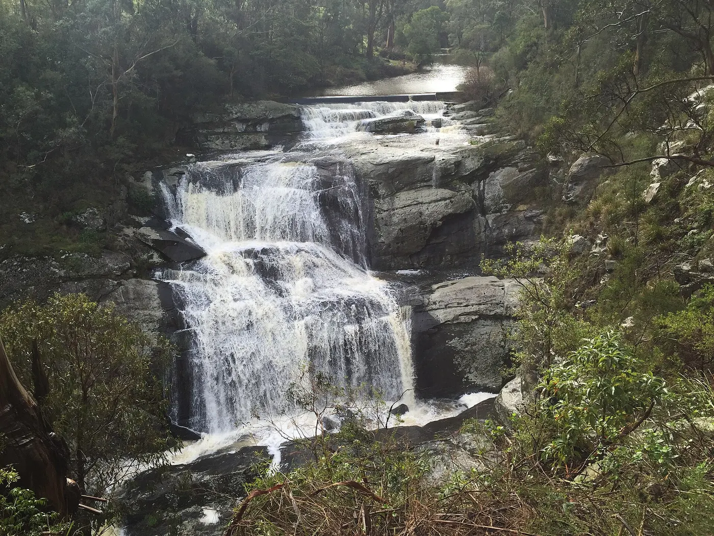
Take little legs to Agnes Falls
Agnes Falls drops 59 metres onto rocks, and is most dramatic after heavy rain. The viewing platform is an easy 200m walk from the car park, short enough for little legs. Bring a picnic for the shady woodland, and look out for wedge-tailed eagles.
about 60 min
Waterfall · Agnes Falls
Photo: Mattinbgn, CC BY-SA 3.0
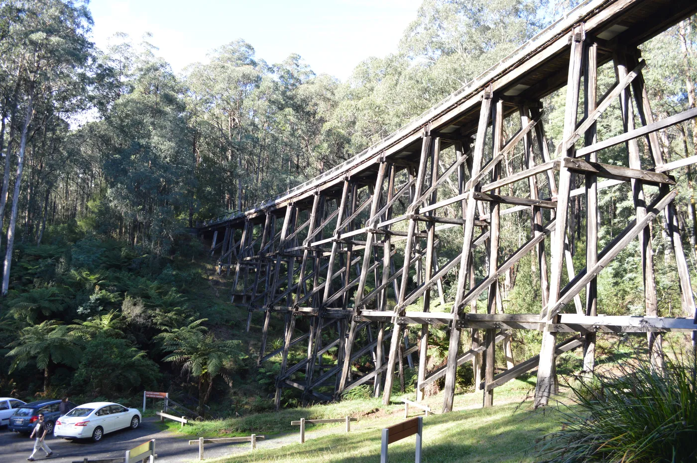
Picnic under the Noojee Trestle Bridge
This historic timber rail bridge is 21 metres high and 102 metres long, set in mountain ash forest. Picnic at its base beside the gravel car park, or climb the steep stairs to the top. The 3km rail trail follows the old line through the forest to the bridge.
about 1 hr
Walk · Noojee Trestle Bridge
Photo: Mattinbgn (talk · contribs), CC BY 3.0
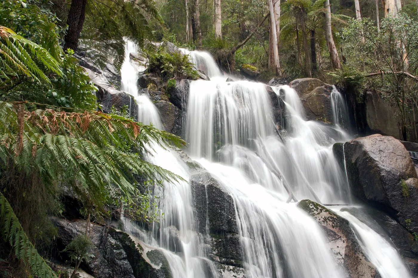
Loop past two waterfalls at Toorongo
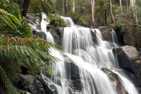
The 2.2km Toorongo and Amphitheatre Falls loop takes about an hour, past ferns and mossy rocks. You can hear the water all the way from the car park to the top of the falls. Bats, sugar gliders and possums live in the surrounding forest.
about 1 hr
Waterfall · Toorongo Falls
Photo: Rexness, CC BY 2.0
Entry tickets
Affiliate link: we may earn a commission at no extra cost to you.
Gumbuya World
Everything on the map
Over the border
Nearest first, from Traralgon
Beaches and islands
Over 30 minutes
from Traralgon


Over 1½ hours
from Traralgon
Waterfalls, lakes and swimming



Over 30 minutes
from Traralgon


Over 1½ hours
from Traralgon
Walks and lookouts
Over 30 minutes
from Traralgon

Over 1½ hours
from Traralgon

Big playgrounds
Over 30 minutes
from Traralgon

Play



Over 30 minutes
from Traralgon



Museums and history




Over 30 minutes
from Traralgon






Libraries, cinemas and theatres





Over 30 minutes
from Traralgon








Gardens and science
Over 30 minutes
from Traralgon

Drive times are estimated from the distance, so treat them as a guide. Tap a card for the full page.
Region boundary: ABS Tourism Regions 2021 (Tourism Research Australia), CC BY 4.0. Outings from OpenStreetMap contributors (ODbL) and venues' own listings; nature spots from OpenStreetMap and park services.