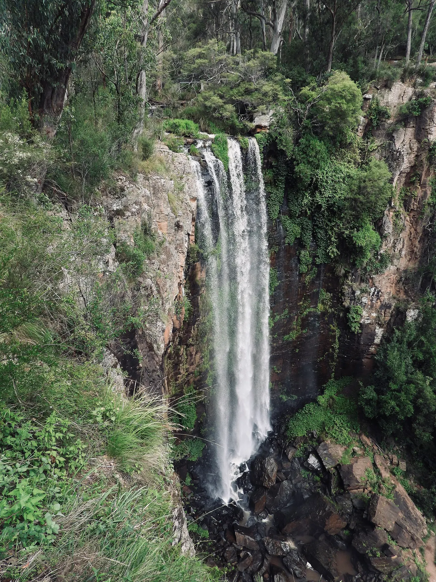
Camping in Southern Queensland Country
67 campgrounds · 29 with powered sites · 15 with showers · 15 with a dump point · 32 with tent sites
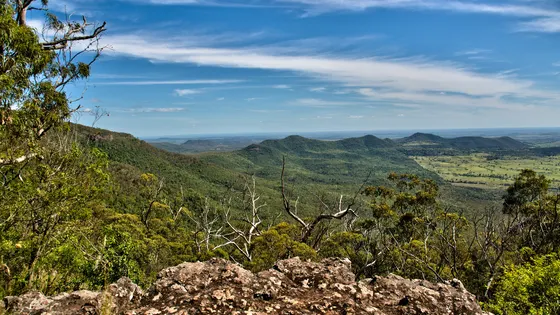
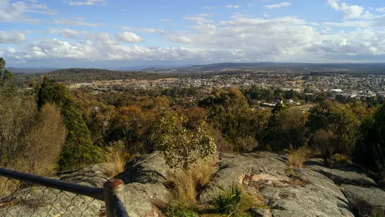
Southern Queensland Country is the high country west of Brisbane, from Toowoomba on the crest of the range down to the granite boulders of the Granite Belt, with the South Burnett to the north. It is cooler than most of Queensland: Stanthorpe holds the state's lowest recorded temperature, -10.6°C, from 1961.
Where is the best place to camp in Southern Queensland Country?
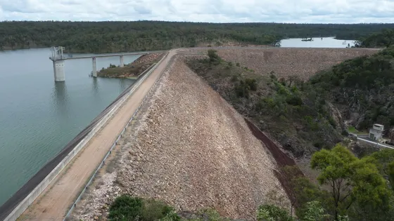
In Toowoomba, holiday parks such as BIG4 Toowoomba Holiday Park are the town bases. For the Granite Belt, Stanthorpe has caravan parks, and in Girraween National Park, the Castle Rock Camping Area has about 40 sites. For the rainforest, Main Range National Park has camps at Goomburra, and Dandabah Campground is in the Bunya Mountains. Out west, Lake Coolmunda, Goondiwindi and Tara have parks on the water.
What is there to do in Southern Queensland Country with kids?
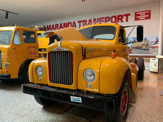
In Toowoomba, the Garden City, Queens Park has Japanese Gardens, the Cobb & Co Museum holds Australia's largest collection of horse-drawn vehicles, and Picnic Point has lookout walks along the escarpment; the Carnival of Flowers is each September. In Nanango, the South Burnett Energy Centre is close to the parks, and the 88 km Kingaroy-Kilkivan Rail Trail passes through Murgon. Lake Coolmunda is used for water skiing, canoeing and fishing, and in Goondiwindi, on the Macintyre River at the border, the Customs House Museum is in town.
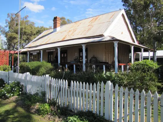
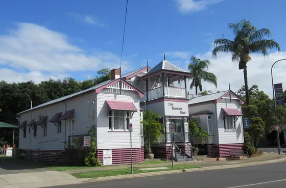
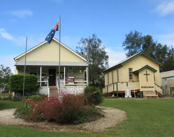
Tap a card for the full page. Every outing is on the map below too. Distances are in a straight line, so the drive is a little longer.
What are the best walks and waterfalls in Southern Queensland Country?
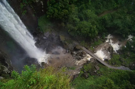
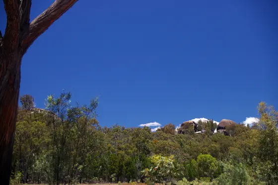
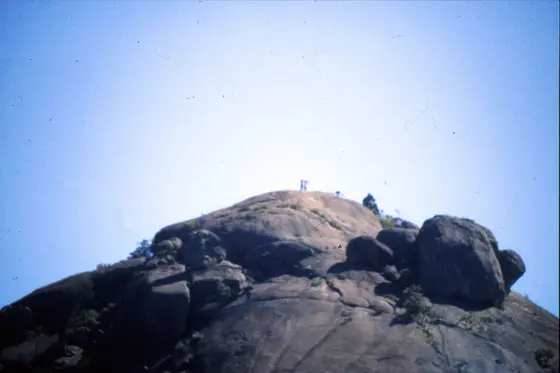
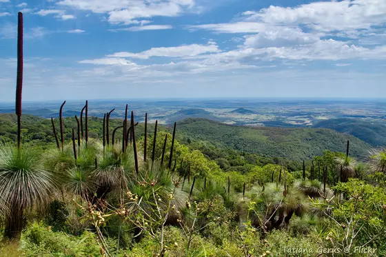
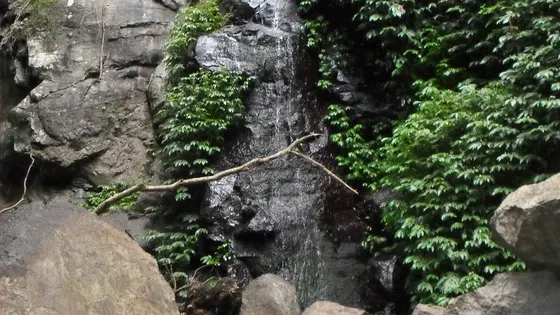
At Girraween, the Dr Roberts Waterhole track is 600 m return, Sphinx Rock is 1.5 km and the Pyramids track is an easy 2.8 km, and wombats and red-necked wallabies live in the park. Main Range protects the largest area of rainforest in South East Queensland, part of the Gondwana Rainforests World Heritage area, and Queen Mary Falls is near its southern end.
When is the best time to go camping in Southern Queensland Country?
Spring, from August to November, is wildflower season at Girraween. The Granite Belt and Toowoomba get cold in winter, with frost and the odd snowfall, so pack warm.
Do you need to book campsites in Southern Queensland Country?
Girraween and Main Range camps are booked through the Queensland Parks and Wildlife Service.
Are there powered sites in Southern Queensland Country?
Yes. 29 campgrounds here have powered sites confirmed, including Crows Nest Tourist Park, Barambah Bush Caravan & Camping Park and Boondooma Dam. For the rest we are still confirming, so check with the park or holiday park before you book a powered site.
How far is Stanthorpe from Brisbane?
Stanthorpe is about 217 km south-west of Brisbane via Warwick, and Girraween National Park about 40 km further south. Toowoomba is about 132 km west of Brisbane, Main Range National Park about 85 km south-west, and Goondiwindi about 353 km.
Facts from Wikipedia, "Toowoomba" (CC BY-SA 4.0), Wikipedia, "Stanthorpe, Queensland" (CC BY-SA 4.0), Wikipedia, "Girraween National Park" (CC BY-SA 4.0), Wikipedia, "Main Range National Park" (CC BY-SA 4.0), Wikipedia, "Murgon, Queensland" (CC BY-SA 4.0), Wikipedia, "Inglewood, Queensland" (CC BY-SA 4.0) and Wikipedia, "Goondiwindi" (CC BY-SA 4.0).
Queen Mary Falls Caravan Park · Photo: JenniferMaryGabrielle, CC BY-SA 4.0, via Wikimedia Commons
Map of campgrounds in Southern Queensland Country
✓ Campgrounds
✓ Things to do
✓ Walks and nature
More around QLD
Camping in Brisbane →
Camping in Bundaberg →
Camping in Capricorn →
Camping in the Fraser Coast →
Camping in Gladstone →
Camping in the Gold Coast →
Camping in Mackay →
Camping in Outback Queensland →
Camping in the Sunshine Coast →
Camping in Townsville →
Camping in Tropical North Queensland →
Camping in the Whitsundays →
67 campgrounds
Those with the most confirmed facilities first. A missing facility means nobody has confirmed it, not that it is absent.
Campground · Crows Nest, QLD
Crows Nest Tourist Park
Powered sites · Tent sites · Caravan and RV sites · Showers · Toilets · Dump point · Drinking water · Camp kitchen
Crows Nest Tourist Park is a caravan park in Crows Nest, QLD. OpenStreetMap records 11 facilities. Check availability and current conditions before you travel.
Campground · Murgon, QLD
Barambah Bush Caravan & Camping Park
Powered sites · Tent sites · Caravan and RV sites · Showers · Toilets · Dump point · Drinking water · Pets allowed
Barambah Bush Caravan & Camping Park is a campground in Murgon, QLD. OpenStreetMap records 9 facilities. Check availability and current conditions before you travel.
Campground · Wondai, QLD
Wondai Free Camp
Tent sites · Caravan and RV sites · Showers · Toilets · Dump point · Drinking water · Wheelchair-accessible paths
Wondai Free Camp is a campground in Wondai, QLD. OpenStreetMap records 7 facilities. Check availability and current conditions before you travel.
Campground · Okeden, QLD
Boondooma Dam
Powered sites · Tent sites · Caravan and RV sites · Showers · Toilets · Laundry
Boondooma Dam is a campground in Okeden, QLD. OpenStreetMap records 6 facilities. Check availability and current conditions before you travel.
Campground · Condamine, QLD
Condamine River Caravan Park
Powered sites · Tent sites · Caravan and RV sites · Showers · Toilets · Laundry
Condamine River Caravan Park is a campground in Condamine, QLD. OpenStreetMap records 6 facilities. Check availability and current conditions before you travel.
Campground · Leyburn, QLD
Leyburn Reserve Campground
Powered sites · Tent sites · Caravan and RV sites · Showers · Toilets · Dump point
Leyburn Reserve Campground is a campground in Leyburn, QLD. OpenStreetMap records 6 facilities. Check availability and current conditions before you travel.
Campground · Murgon, QLD
Murgon Free Camp
Tent sites · Caravan and RV sites · Showers · Toilets · Dump point · Drinking water
Murgon Free Camp is a campground in Murgon, QLD. OpenStreetMap records 6 facilities. Check availability and current conditions before you travel.
Campground · Proston, QLD
Proston Caravan Park - Key & payt at Proston Rural Supplies
Powered sites · Tent sites · Caravan and RV sites · Showers · Toilets · Laundry
Proston Caravan Park - Key & payt at Proston Rural Supplies is a campground in Proston, QLD. OpenStreetMap records 6 facilities. Check availability and current conditions before you travel.
Campground · Tara, QLD
Tara Lagoon Parklands (3 loc)
Powered sites · Tent sites · Caravan and RV sites · Showers · Toilets · Dump point
Tara Lagoon Parklands (3 loc) is a campground in Tara, QLD. OpenStreetMap records 6 facilities. Check availability and current conditions before you travel.
Campground · Tara, QLD
Tara Lagoon Parklands (3 loc)
Powered sites · Tent sites · Caravan and RV sites · Showers · Toilets · Dump point
Tara Lagoon Parklands (3 loc) is a campground in Tara, QLD. OpenStreetMap records 6 facilities. Check availability and current conditions before you travel.
Campground · Tara, QLD
Tara Lagoon Parklands (3 loc)
Powered sites · Tent sites · Caravan and RV sites · Showers · Toilets · Dump point
Tara Lagoon Parklands (3 loc) is a campground in Tara, QLD. OpenStreetMap records 6 facilities. Check availability and current conditions before you travel.
Campground · Jandowae, QLD
AAOK Jandowae Accommodation Park
Powered sites · Tent sites · Caravan and RV sites · Camp kitchen · Laundry
AAOK Jandowae Accommodation Park is a caravan park in Jandowae, QLD. OpenStreetMap records 5 facilities. Check availability and current conditions before you travel.
Campground · East Toowoomba, QLD
Jolly Swagman Accommodation Park
Powered sites · Tent sites · Dump point · Drinking water · Wi-Fi
Jolly Swagman Accommodation Park is a caravan park in East Toowoomba, QLD. OpenStreetMap records 5 facilities. Check availability and current conditions before you travel.
Campground · Wandoan, QLD
Juandah Historic Site Camping
Powered sites · Tent sites · Caravan and RV sites · Showers · Toilets
Juandah Historic Site Camping is a campground in Wandoan, QLD. OpenStreetMap records 5 facilities. Check availability and current conditions before you travel.
Campground · Kowguran, QLD
Possum Park
Powered sites · Tent sites · Caravan and RV sites · Showers · Toilets
Possum Park is a campground in Kowguran, QLD. OpenStreetMap records 5 facilities. Check availability and current conditions before you travel.
Campground · Nanango, QLD
Twin Gums Caravan Park
Powered sites · Tent sites · Toilets · Drinking water · Wheelchair-accessible paths
Twin Gums Caravan Park is a caravan park in Nanango, QLD. OpenStreetMap records 5 facilities. Check availability and current conditions before you travel.
Campground · Yarraman, QLD
Yarraman Caravan Park
Powered sites · Toilets · Dump point · Drinking water · Wi-Fi
Yarraman Caravan Park is a caravan park in Yarraman, QLD. OpenStreetMap records 5 facilities. Check availability and current conditions before you travel.
Campground · Chinchilla, QLD
Chinchilla Weir
Powered sites · Tent sites · Caravan and RV sites · Toilets
Chinchilla Weir is a campground in Chinchilla, QLD. OpenStreetMap records 4 facilities. Check availability and current conditions before you travel.
Campground · Nanango, QLD
Nanango RV Park
Powered sites · Tent sites · Dump point · Wheelchair-accessible paths
Nanango RV Park is a caravan park in Nanango, QLD. OpenStreetMap records 4 facilities. Check availability and current conditions before you travel.
Campground · Stanthorpe, QLD
Top Of The Town Tourist Park
Powered sites · Tent sites · Dump point · Wi-Fi
Top Of The Town Tourist Park is a caravan park in Stanthorpe, QLD. OpenStreetMap records 4 facilities. Check availability and current conditions before you travel.
Campground · Wandoan, QLD
Waterloo Plains Environmental Park
Tent sites · Caravan and RV sites · Showers · Toilets
Waterloo Plains Environmental Park is a campground in Wandoan, QLD. OpenStreetMap records 4 facilities. Check availability and current conditions before you travel.
Campground · Warwick, QLD
BIG4 Freedom Lifestyle Holiday Park Warwick
Powered sites · Toilets · Drinking water
BIG4 Freedom Lifestyle Holiday Park Warwick is a caravan park in Warwick, QLD. OpenStreetMap records 3 facilities. Check availability and current conditions before you travel.
Campground · Gilla, QLD
Harland Park
Tent sites · Caravan and RV sites · Toilets
Harland Park is a campground in Gilla, QLD. OpenStreetMap records 3 facilities. Check availability and current conditions before you travel.
Campground · Ellangowan, QLD
Passmore Reserve Campground
Tent sites · Caravan and RV sites · Campfires allowed
Passmore Reserve Campground is a campground in Ellangowan, QLD. OpenStreetMap records 3 facilities. Check availability and current conditions before you travel.
Campground · Kearneys Spring, QLD
Toowoomba Caravan Park
Powered sites · Dump point · Wi-Fi
Toowoomba Caravan Park is a caravan park in Kearneys Spring, QLD. OpenStreetMap records 3 facilities. Check availability and current conditions before you travel.
Campground · Glenvale, QLD
Toowoomba Showgrounds Caravan Park
Caravan and RV sites · Showers · Pets allowed
Toowoomba Showgrounds Caravan Park is a campground in Glenvale, QLD. OpenStreetMap records 3 facilities. Check availability and current conditions before you travel.
Campground · Sandy Ridges, QLD
Broadwater Recreational Reserve
Tent sites · Caravan and RV sites
Broadwater Recreational Reserve is a campground in Sandy Ridges, QLD. OpenStreetMap records 2 facilities. Check availability and current conditions before you travel.
Campground · Girraween, QLD
Castle Rock Camping Area
Tent sites · Caravan and RV sites
Castle Rock Camping Area is a campground near Girraween, QLD. OpenStreetMap records 2 facilities. Check availability and current conditions before you travel.
Campground · Cecil Plains, QLD
Cecil Plains Rural Retreat Caravan Park
Powered sites · Dump point
Cecil Plains Rural Retreat Caravan Park is a caravan park in Cecil Plains, QLD. OpenStreetMap records 2 facilities. Check availability and current conditions before you travel.
Campground · Gatton, QLD
Gatton Caravan Park
Powered sites · Drinking water
Gatton Caravan Park is a caravan park in Gatton, QLD. OpenStreetMap records 2 facilities. Check availability and current conditions before you travel.
Campground · Glenlyon, QLD
Glenlyon Dam Tourist Park
Powered sites · Tent sites
Glenlyon Dam Tourist Park is a caravan park in Glenlyon, QLD. OpenStreetMap records 2 facilities. Check availability and current conditions before you travel.
Campground · Nanango, QLD
Homestead Caravan Park
Powered sites · Drinking water
Homestead Caravan Park is a caravan park in Nanango, QLD. OpenStreetMap records 2 facilities. Check availability and current conditions before you travel.
Campground · Killarney, QLD
Killarney View Cabins & Caravan Park
Powered sites · Dump point
Killarney View Cabins & Caravan Park is a caravan park in Killarney, QLD. OpenStreetMap records 2 facilities. Check availability and current conditions before you travel.
Campground · Coolmunda, QLD
Lake Coolmunda Caravan Park
Powered sites · Tent sites
Lake Coolmunda Caravan Park is a caravan park in Coolmunda, QLD. OpenStreetMap records 2 facilities. Check availability and current conditions before you travel.
Campground · Laidley Heights, QLD
Lake Dyer Caravan & Camping Ground
Tent sites · Caravan and RV sites
Lake Dyer Caravan & Camping Ground is a campground in Laidley Heights, QLD. OpenStreetMap records 2 facilities. Check availability and current conditions before you travel.
Campground · Proston, QLD
Proston Free Campground
Tent sites · Caravan and RV sites
Proston Free Campground is a campground in Proston, QLD. OpenStreetMap records 2 facilities. Check availability and current conditions before you travel.
Campground · Texas, QLD
Southern Border Accommodation Park
Powered sites · Tent sites
Southern Border Accommodation Park is a caravan park in Texas, QLD. OpenStreetMap records 2 facilities. Check availability and current conditions before you travel.
Campground · Severnlea, QLD
Stanthorpe Holiday Park
Powered sites · Tent sites
Stanthorpe Holiday Park is a caravan park in Severnlea, QLD. OpenStreetMap records 2 facilities. Check availability and current conditions before you travel.
Campground · Upper Tenthill, QLD
Tenthill Caravan Park & Store
Powered sites · Drinking water
Tenthill Caravan Park & Store is a caravan park in Upper Tenthill, QLD. OpenStreetMap records 2 facilities. Check availability and current conditions before you travel.
Campground · Goondiwindi, QLD
BIG4 Goondiwindi Holiday Park
Wheelchair-accessible paths
BIG4 Goondiwindi Holiday Park is a caravan park in Goondiwindi, QLD. OpenStreetMap records 1 facility. Check availability and current conditions before you travel.
Campground · Glen Aplin, QLD
Country Style Holiday Park
Tent sites
Country Style Holiday Park is a caravan park in Glen Aplin, QLD. OpenStreetMap records 1 facility. Check availability and current conditions before you travel.
Campground · Goomburra, QLD
Gordon Country
Campfires allowed
Gordon Country is a campground in Goomburra, QLD. OpenStreetMap records 1 facility. Check availability and current conditions before you travel.
Campground · Moonie, QLD
Moonie Rest Area
Toilets
Moonie Rest Area is a campground in Moonie, QLD. OpenStreetMap records 1 facility. Check availability and current conditions before you travel.
Campground · Bunya Mountains, QLD
Westcott Camp Area
Tent sites
Westcott Camp Area is a campground near Bunya Mountains, QLD. OpenStreetMap records 1 facility. Check availability and current conditions before you travel.
Campground · Harristown, QLD
BIG4 Toowoomba Holiday Park
No facilities confirmed yet.
BIG4 Toowoomba Holiday Park is a caravan park in Harristown, QLD. Its facilities have not been confirmed. Check availability and current conditions before you travel.
Campground · Bunya Mountains, QLD
Burton's Well Camp Area
No facilities confirmed yet.
Burton's Well Camp Area is a campground near Bunya Mountains, QLD. OpenStreetMap records 0 facilities. Check availability and current conditions before you travel.
Campground · Bunya Mountains, QLD
Dandabah Campground
No facilities confirmed yet.
Dandabah Campground is a campground in Bunya Mountains, QLD. Its facilities have not been confirmed. Check availability and current conditions before you travel.
Campground · Barakula, QLD
Dogwood Creek Camping Area
No facilities confirmed yet.
Dogwood Creek Camping Area is a campground in Barakula, QLD. Its facilities have not been confirmed. Check availability and current conditions before you travel.
Campground · Goondiwindi, QLD
Goondiwindi Top Tourist Park
No facilities confirmed yet.
Goondiwindi Top Tourist Park is a caravan park in Goondiwindi, QLD. Its facilities have not been confirmed. Check availability and current conditions before you travel.
Campground · Fordsdale, QLD
Heifer Creek
No facilities confirmed yet.
Heifer Creek is a campground in Fordsdale, QLD. Its facilities have not been confirmed. Check availability and current conditions before you travel.
Campground · Highfields, QLD
Koojarewon Lutheran Camp
No facilities confirmed yet.
Koojarewon Lutheran Camp is a campground in Highfields, QLD. Its facilities have not been confirmed. Check availability and current conditions before you travel.
Campground · Okeden, QLD
Lake Boondooma
No facilities confirmed yet.
Lake Boondooma is a campground in Okeden, QLD. Its facilities have not been confirmed. Check availability and current conditions before you travel.
Campground · Coolmunda, QLD
Lake Coolamunda Camping Area
No facilities confirmed yet.
Lake Coolamunda Camping Area is a campground in Coolmunda, QLD. Its facilities have not been confirmed. Check availability and current conditions before you travel.
Campground · Goomburra, QLD
Manna Gum camping area Main Range NP
No facilities confirmed yet.
Manna Gum camping area Main Range NP is a campground in Goomburra, QLD. Its facilities have not been confirmed. Check availability and current conditions before you travel.
Campground · Miles, QLD
Miles Crossroads Caravan Park
No facilities confirmed yet.
Miles Crossroads Caravan Park is a caravan park in Miles, QLD. Its facilities have not been confirmed. Check availability and current conditions before you travel.
Campground · Millmerran, QLD
Millmerran Caravan Park
No facilities confirmed yet.
Millmerran Caravan Park is a caravan park in Millmerran, QLD. Its facilities have not been confirmed. Check availability and current conditions before you travel.
Campground · South Nanango, QLD
Nanango Caravan and Motorhome Park
No facilities confirmed yet.
Nanango Caravan and Motorhome Park is a caravan park in South Nanango, QLD. Its facilities have not been confirmed. Check availability and current conditions before you travel.
Campground · Dalby, QLD
Pioner Village Caravan Park
No facilities confirmed yet.
Pioner Village Caravan Park is a campground in Dalby, QLD. Its facilities have not been confirmed. Check availability and current conditions before you travel.
Campground · Goomburra, QLD
Poplar Flat camping area Main Range NP
No facilities confirmed yet.
Poplar Flat camping area Main Range NP is a campground in Goomburra, QLD. Its facilities have not been confirmed. Check availability and current conditions before you travel.
Campground · The Falls, QLD
Queen Mary Falls Caravan Park
No facilities confirmed yet.
Queen Mary Falls Caravan Park is a caravan park in The Falls, QLD. Its facilities have not been confirmed. Check availability and current conditions before you travel.
Other regions in Queensland
Region boundary: ABS ASGS Edition 3 Tourism Regions 2021 (Tourism Research Australia), CC BY 4.0. Campgrounds and facilities from OpenStreetMap contributors (ODbL), the operators’ own listings, and the state park services’ open data: © State Government of NSW and NSW Department of Climate Change, Energy, the Environment and Water 2017 (CC BY 4.0); contains data sourced from the Department of Energy, Environment and Climate Action, Victoria (CC BY 4.0); © State of Tasmania, Parks and Wildlife Service (CC BY 3.0 AU); Main Roads Western Australia road stopping places (CC BY 4.0).