
Days out
Childcare
Set your area
Sign in
Menu
Travel
/
Camping
/
High Country
Tronoh Dredge Walking Track
Walk · High Country, VIC
Photo: Philip Mallis, CC BY-SA 2.0, via
Wikimedia Commons
Closest campgrounds
Harrietville Cabins & Caravan Park
Harrietville · 1 km away in a straight line
Diamantina Horse Yards Camp
Falls Creek · 9 km away in a straight line
Tent platform - 3 at Falls to Hotham Alpine Crossing Dibbins Hut camping area with 3.7m x 3m steel structure with FRP grating deck
Hotham Heights · 12 km away in a straight line
Bogong Jack Saddle Camping Area
Falls Creek · 12 km away in a straight line
New Chum Flat
Buckland · 14 km away in a straight line
More walks and nature nearby
Cobungra Gap · 12 km →
Dead Timber Hill · 19 km →
Huggins Lookout · 20 km →
Ovens River · 21 km →
Baranduda Range Waterfall · 74 km →
Wild Dog Creek Falls · 90 km →
Camping in the High Country →
Location from OpenStreetMap contributors (ODbL). Distances are in a straight line, so the drive or walk is longer. Check the park’s own site for track closures and conditions before you go.
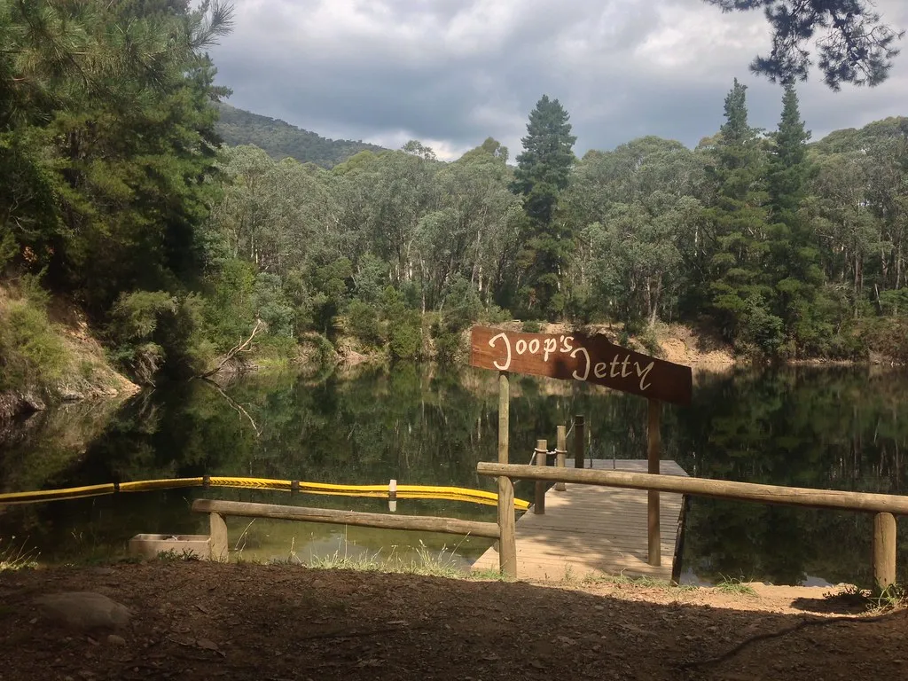
Tronoh Dredge Walking Track
Walk · High Country
Photo: Philip Mallis, CC BY-SA 2.0, via
Wikimedia Commons
Closest campgrounds
Harrietville Cabins & Caravan Park – Harrietville, 1 km in a straight line
Diamantina Horse Yards Camp – Falls Creek, 9 km in a straight line
Tent platform - 3 at Falls to Hotham Alpine Crossing Dibbins Hut camping area with 3.7m x 3m steel structure with FRP grating deck – Hotham Heights, 12 km in a straight line
Bogong Jack Saddle Camping Area – Falls Creek, 12 km in a straight line
New Chum Flat – Buckland, 14 km in a straight line
More walks and nature nearby
Cobungra Gap – Lookout, 12 km
Dead Timber Hill – Lookout, 19 km
Huggins Lookout – Lookout, 20 km
Ovens River – Swimming spot, 21 km
Baranduda Range Waterfall – Waterfall, 74 km
Wild Dog Creek Falls – Waterfall, 90 km
Camping in the High Country
Location from OpenStreetMap contributors (ODbL).