Camping in MacDonnell
10 campgrounds · 2 with powered sites · 3 with showers · 4 with tent sites
The MacDonnell Ranges run 644 km east and west of Alice Springs, red quartzite ridges cut by gorges and permanent waterholes. Tjoritja / West MacDonnell National Park is of great significance to its Arrernte traditional owners, and the Larapinta Trail follows the spine of the western ranges from the Alice Springs Telegraph Station to Mount Sonder.
Where is the best place to camp in MacDonnell?
Camping here means choosing a side of Alice, or heading south into the desert. In the West MacDonnells, Ellery Creek Big Hole has a campground you can reach with a caravan, next to a permanent waterhole, and further west, Ntaria Campground at Hermannsburg has power, showers and a laundry. In the East MacDonnells, about 85 km from Alice Springs, Trephina Gorge Panorama Campground is in Trephina Gorge Nature Park, and south of Alice, Rainbow Valley has two designated camping areas.
What is there to do in MacDonnell with kids?
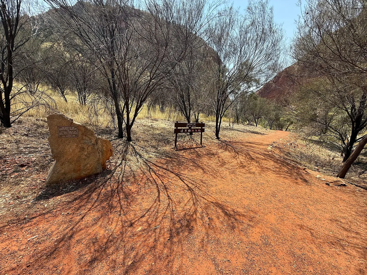
Close to Alice Springs, Simpsons Gap is about 20 minutes' drive west, and a sealed 17 km bike path near there suits family rides. In Alice, the Alice Springs Desert Park and the Old Ghan Museum are an easy drive from the west and south camps. At Hermannsburg, the Historic Precinct is heritage listed; the mission dates from 1877, and the town is closely tied to the painter Albert Namatjira. At Stuarts Well, Camels Australia is right next to the roadhouse.
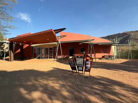
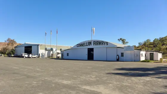
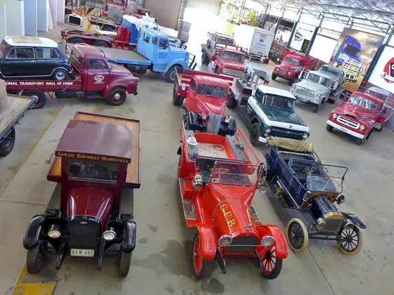
Tap a card for the full page. Every outing is on the map below too. Distances are in a straight line, so the drive is a little longer.
What are the best gorges and waterholes in the MacDonnell Ranges?
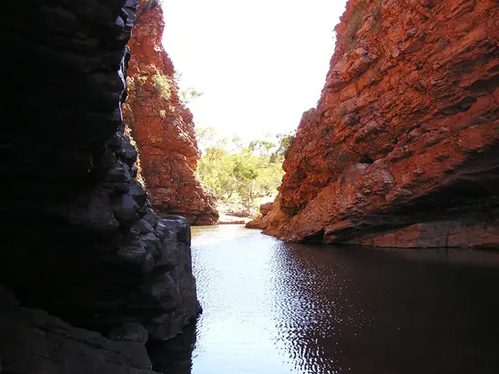
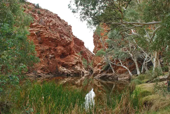
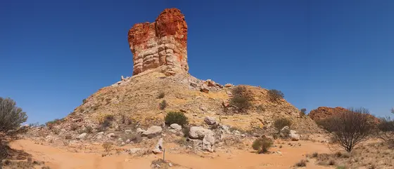
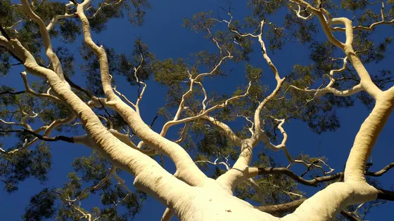
Simpsons Gap, known as Rungutjirpa to the Arrernte people, is described as the home of giant goanna ancestors, and black-footed rock wallabies are sometimes seen by its waterhole at dawn or dusk. Ellery Creek Big Hole is a permanent waterhole in the West MacDonnells, and in Trephina Gorge, look for ghost gums and painted finches. Rainbow Valley's 350-million-year-old sandstone cliffs glow brightest at sunset, and out in the desert, Chambers Pillar rises 50 metres above the plain.
Do you need to book campsites in MacDonnell?
Yes. West MacDonnell campgrounds, including Ellery Creek Big Hole and Redbank Gorge, must be booked and paid for through NT Parks before you go, since you can't pay on site. Bring your own drinking water, and note that pets and generators aren't allowed in the park camps.
Are there powered sites in MacDonnell?
Yes. 2 campgrounds here have powered sites confirmed: Stuarts Well Roadhouse and Ntaria Campground. For the rest we are still confirming, so check with the park or holiday park before you book a powered site.
How far is Chambers Pillar from Alice Springs?
Chambers Pillar is about 160 km south of Alice Springs and needs a four-wheel drive. The Rainbow Valley turnoff is about 75 km south, with a further 22 km of unsealed road recommended for four-wheel drives. Hermannsburg is about 125 km west-south-west, and Trephina Gorge about 85 km east.
Facts from Wikipedia, "MacDonnell Ranges" (CC BY-SA 4.0), Wikipedia, "Hermannsburg, Northern Territory" (CC BY-SA 4.0), Wikipedia, "Chambers Pillar" (CC BY-SA 4.0), Wikipedia, "Rainbow Valley Conservation Reserve" (CC BY-SA 4.0), Wikipedia, "Trephina Gorge Nature Park" (CC BY-SA 4.0) and Tourism NT, "Simpsons Gap".
Larapinta Group Camping · Photo: DaHuzyBru, CC BY-SA 4.0, via Wikimedia Commons
Map of campgrounds in MacDonnell
✓ Campgrounds
✓ Things to do
✓ Walks and nature
More around NT
10 campgrounds
Those with the most confirmed facilities first. A missing facility means nobody has confirmed it, not that it is absent.
Campground · Hugh, NT
Stuarts Well Roadhouse
Powered sites · Tent sites · Caravan and RV sites · Showers · Toilets · Wi-Fi
Stuarts Well Roadhouse is a campground in Hugh, NT. OpenStreetMap records 6 facilities. Check availability and current conditions before you travel.
Campground · Hermannsburg, NT
Ntaria Campground
Powered sites · Showers · Toilets · Camp kitchen · Laundry
Ntaria Campground is a campground in Hermannsburg, NT. OpenStreetMap records 5 facilities. Check availability and current conditions before you travel.
Campground · Namatjira, NT
Ellery Creek Big Hole - West MacDonnell NP
Tent sites · Caravan and RV sites · Toilets
Ellery Creek Big Hole - West MacDonnell NP is a campground in Namatjira, NT. OpenStreetMap records 3 facilities. Check availability and current conditions before you travel.
Campground · Hugh, NT
Chambers Pillar Campground
Tent sites · Caravan and RV sites
Chambers Pillar Campground is a campground near Hugh, NT. OpenStreetMap records 2 facilities. Check availability and current conditions before you travel.
Campground · Hugh, NT
Stuarts Well Roadhouse Freecamp
Caravan and RV sites · Wi-Fi
Stuarts Well Roadhouse Freecamp is a campground in Hugh, NT. OpenStreetMap records 2 facilities. Check availability and current conditions before you travel.
Campground · Wallace Rockhole, NT
Wallace Rockhole Tourist Park
Showers · Toilets
Wallace Rockhole Tourist Park is a campground in Wallace Rockhole, NT. OpenStreetMap records 2 facilities. Check availability and current conditions before you travel.
Campground · Burt Plain, NT
Larapinta Group Camping
Tent sites
Larapinta Group Camping is a campground near Burt Plain, NT. OpenStreetMap records 1 facility. Check availability and current conditions before you travel.
Campground · Hart, NT
Trephina Gorge Panorama Campground
Caravan and RV sites
Trephina Gorge Panorama Campground is a campground near Hart, NT. OpenStreetMap records 1 facility. Check availability and current conditions before you travel.
Campground · Burt Plain, NT
School Camp
No facilities confirmed yet.
School Camp is a campground near Burt Plain, NT. OpenStreetMap records 0 facilities. Check availability and current conditions before you travel.
Campground · Hart, NT
Spotted Tiger Campground
No facilities confirmed yet.
Spotted Tiger Campground is a campground in Hart, NT. Its facilities have not been confirmed. Check availability and current conditions before you travel.
Other regions in Northern Territory
Region boundary: ABS ASGS Edition 3 Tourism Regions 2021 (Tourism Research Australia), CC BY 4.0. Campgrounds and facilities from OpenStreetMap contributors (ODbL), the operators’ own listings, and the state park services’ open data: © State Government of NSW and NSW Department of Climate Change, Energy, the Environment and Water 2017 (CC BY 4.0); contains data sourced from the Department of Energy, Environment and Climate Action, Victoria (CC BY 4.0); © State of Tasmania, Parks and Wildlife Service (CC BY 3.0 AU); Main Roads Western Australia road stopping places (CC BY 4.0).