
Things to do with kids in The MacDonnell Ranges
The West MacDonnell Ranges start just outside Alice Springs, and the gorges get better the further out you go. Simpsons Gap is only 20 minutes away, and there is a sealed bike path out to it for confident riders. Look for rock-wallabies near the waterhole early or late in the day. At Standley Chasm, a short walk along a creek bed leads between towering red walls. It is run by the local Arrernte community.
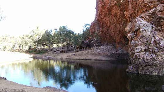
In the warmer months, the permanent waterholes are the reward. Ellery Creek Big Hole is a short walk from the car park, and the water at Ormiston Gorge sits beneath tall cliffs. Both are very cold, so keep swims short, and don't let anyone jump in. On the way, stop at the Ochre Pits to see the colours of the rock.
East of town, Trephina Gorge has a sandy creek bed to explore. To the south, the cliffs of Rainbow Valley change colour in the late afternoon, but the last stretch is best in a 4WD.
28 family outings, waterfalls and walks across the region, sorted by drive time from Alice Springs. Choose your suburb at the top to sort from where you are staying.
✓ Everything
Free · 25
Top things to do in MacDonnell Ranges
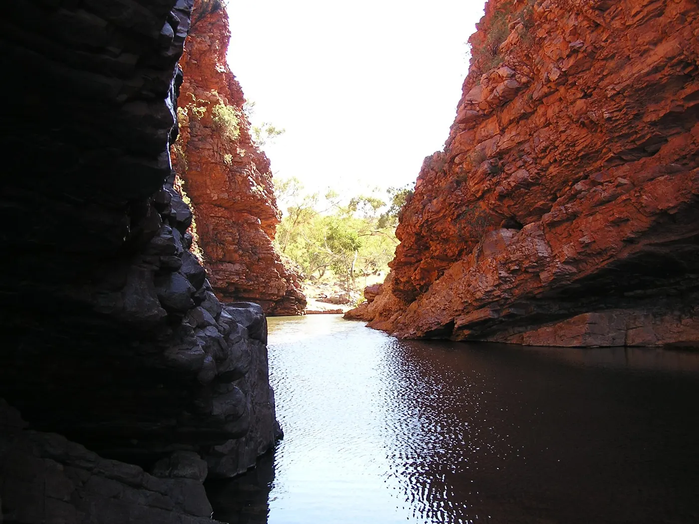
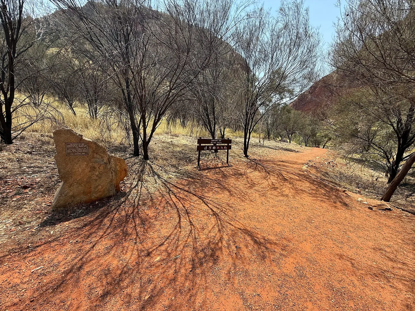
Ride or walk to Simpsons Gap
Simpsons Gap is a 20-minute drive west of Alice Springs, with short walks past ghost gums and range views. Look for black-footed rock-wallabies near the waterhole at dawn or dusk; swimming isn't allowed here. A sealed 17km bike path starts opposite Flynn's Grave and suits children who are confident riders.
about 25 min
Walk · Simpsons Gap
Photo: Jim McNally, CC BY-SA 4.0
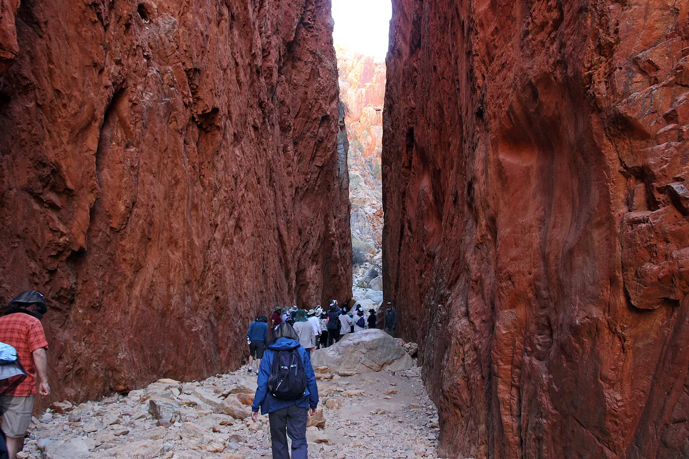
Walk between the walls of Standley Chasm
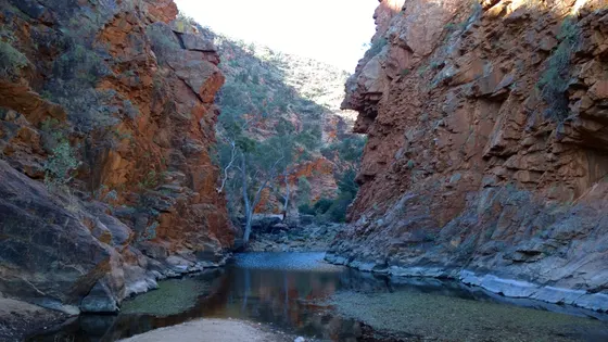
A short return walk along a creek bed leads to red rock walls up to 80m high. Standley Chasm, or Angkerle Atwatye, is a sacred site owned and run by the local Arrernte community, and entry fees support that community. It is a 40-minute drive from Alice Springs on a sealed road; last entry is 4.30pm Monday to Saturday and 1.30pm on Sunday.
about 50 min
Walk · Standley Chasm (Angkerle Atwatye)
Photo: scott1346 from Mechanicsville, MD, USA, CC BY 2.0
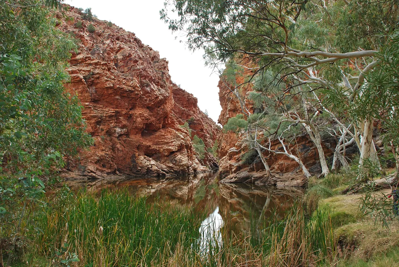
Take a dip at Ellery Creek Big Hole
This permanent waterhole is 80km west of Alice Springs and a five-minute walk from the carpark. Parks NT says it is ideal for a swim in the warmer months, but the water is extremely cold, so keep swims short. Don't jump or dive in, as logs and rocks hide under the surface.
about 1 hr 30
Swimming spot · Ellery Creek Big Hole
Photo: Iambexta, CC BY-SA 4.0
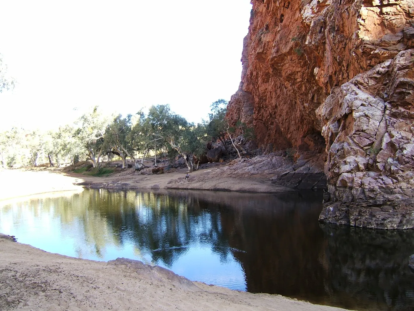
Swim beneath the cliffs of Ormiston Gorge
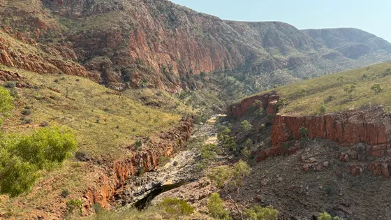
Ormiston Gorge is 135km west of Alice Springs on sealed roads, and its waterhole is 500m from the visitor centre. The water is up to 14m deep at the southern end and very cold, so keep children close. The Pound Walk currently needs a short swim through deep water, so only start it if everyone is ready to swim.
about 2 hr
Swimming spot · Ormiston Gorge waterhole
Photo: Binarysequence, CC BY-SA 3.0
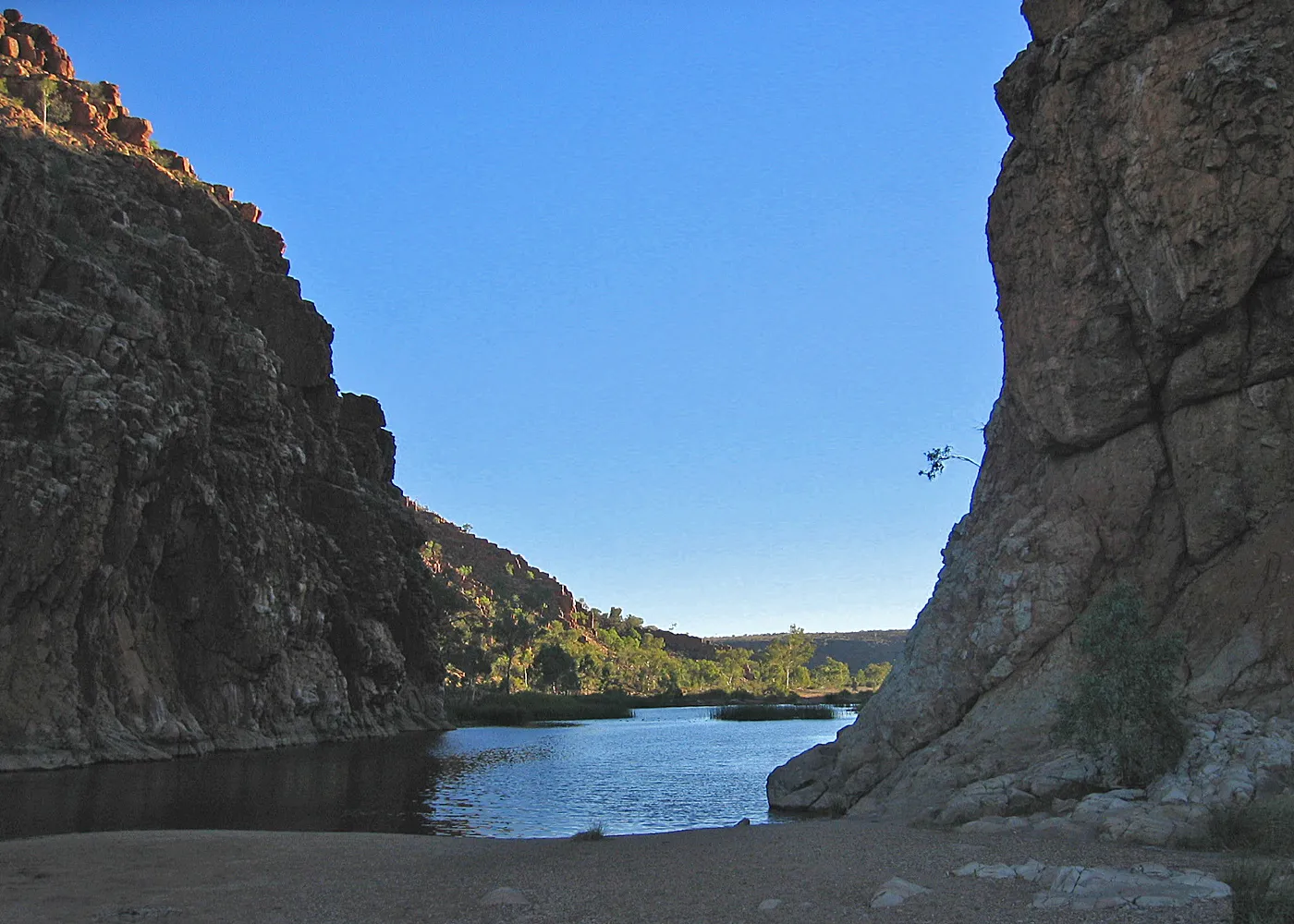
See the Finke River break through at Glen Helen
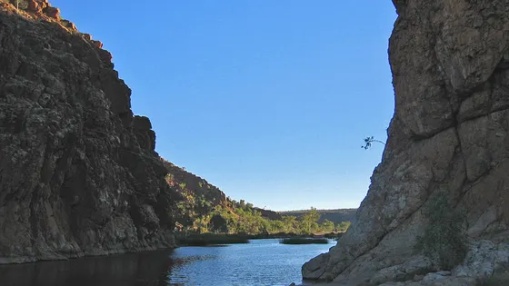
At Glen Helen Gorge, the ranges part to let the Finke River through, below a towering rock wall. It is 132km from Alice Springs along Namatjira Drive, with a permanent waterhole at the foot of the cliffs. Depths vary and the water stays cold even in warm months, so walk in rather than jump. The Glen Helen resort, including fuel and food, is closed, so fill up in town.
about 2 hr 15
Walk · Glen Helen Gorge
Photo: Albinfo, Public domain
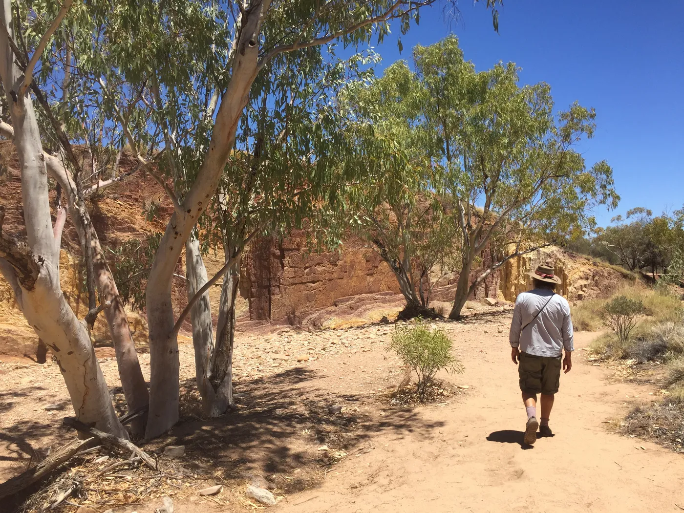
See the colours of the Ochre Pits
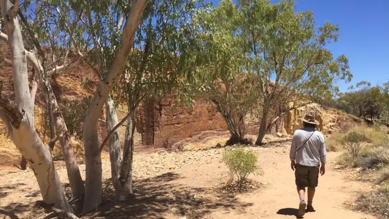
For generations, Arrernte people have mined red, orange, yellow and white ochre here for rock art, ceremonies and decorating spears. Cultural items are protected, so leave the ochre where it is. There are no toilets, so stop at Ellery Creek or Serpentine Gorge on the way.
about 1 hr 45
Walk · Ochre Pits
Photo: Ian Cochrane from Melbourne, Australia, CC BY 2.0
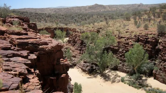
Explore the sandy creek at Trephina Gorge
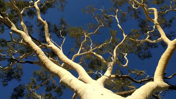
Trephina Gorge is 85km east of Alice Springs off the Ross Highway, and the last 5km is unsealed. Short walks wind around the gorge and its sandy creek bed, and wallabies and birds may come close if you sit quietly by a waterhole. The park also has the largest ghost gum in Australia.
about 1 hr
Walk · Trephina Gorge Walk
Photo: Prince Roy, Taipei, CC BY 2.0
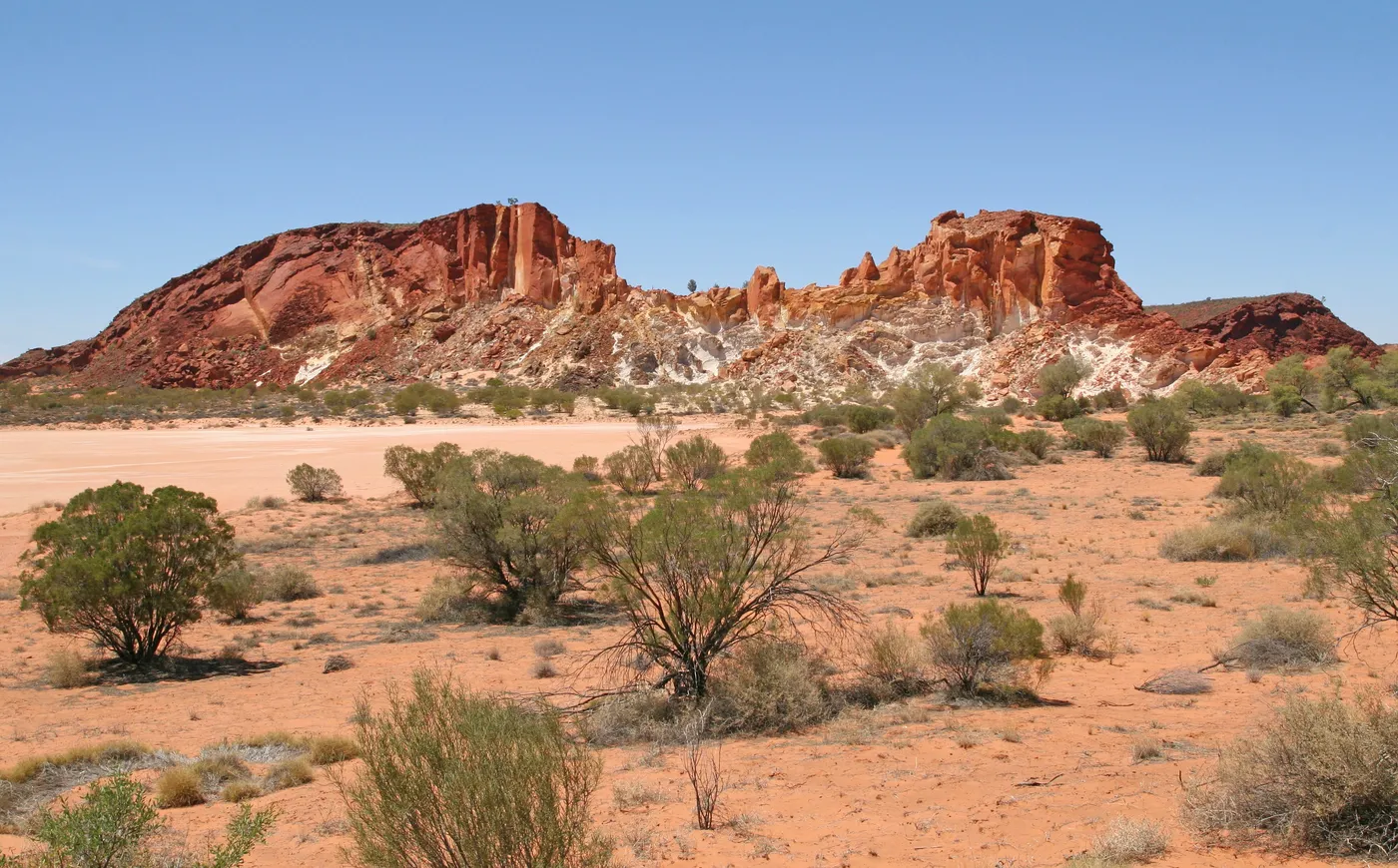
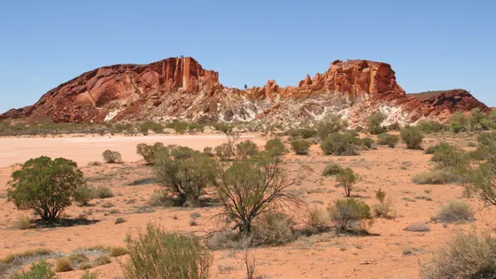
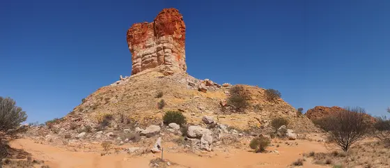
Watch the cliffs change colour at Rainbow Valley
The sandstone bluffs turn from ochre red to orange and purple in the soft light of morning and late afternoon. A short walk crosses the claypan, and Mushroom Rock, carved by wind and rain, is worth finding. The turnoff is 75km south of Alice Springs, then 22km of unsealed road where a 4WD is recommended.
about 1 hr 15
Lookout · Rainbow Valley
Photo: Michael Bemmerl, CC BY 3.0 de
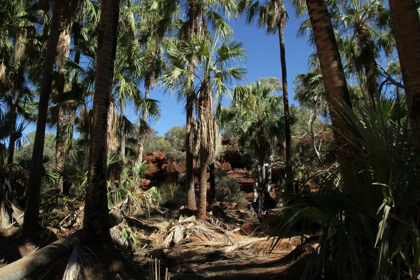
Walk among the palms of Palm Valley
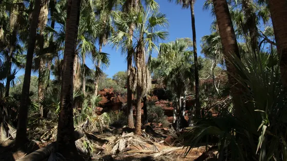
Palm Valley is named for its red cabbage palms, with around 3,000 adult trees and thousands of young ones that are easily damaged. The Arankaia Walk is open, but the last 16km in follows the sandy bed of the Finke River and needs a high-clearance 4WD. Stay on the marked tracks to protect the young palms.
about 2 hr 15
Walk · Arankaia Walk, Palm Valley
Photo: Eric Spenle, CC BY 3.0
Everything on the map
Over the border
Nearest first, from Alice Springs
Waterfalls, lakes and swimming
Over 1½ hours
from Alice Springs
Walks and lookouts
Over 30 minutes
from Alice Springs
Over 1½ hours
from Alice Springs
Museums and history
Over 1½ hours
from Alice Springs
Gardens and science
Over 1½ hours
from Alice Springs

Drive times are estimated from the distance, so treat them as a guide. Tap a card for the full page.
Region boundary: ABS Tourism Regions 2021 (Tourism Research Australia), CC BY 4.0. Outings from OpenStreetMap contributors (ODbL) and venues' own listings; nature spots from OpenStreetMap and park services.