
Things to do with kids in Uluru & Yulara
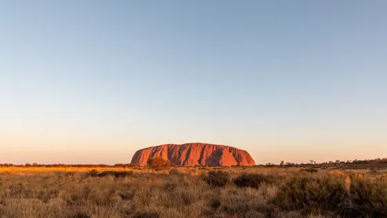
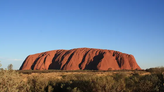
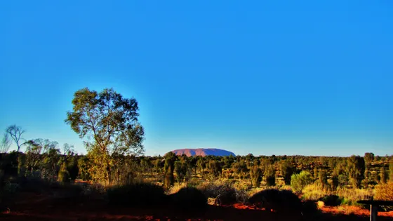
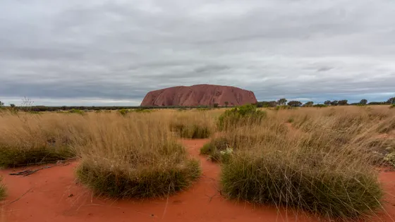
Uluṟu is best early and late in the day. The sunrise viewing area has short, accessible loops, and the Minymaku Walk shares some of the games Aṉangu children play. In the evening, watch the rock turn from orange to deep red at the sunset viewing area; get there early in the school holidays. Park passes are free for under-18s.
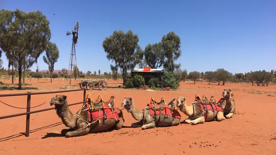
The full base walk takes about three and a half hours, so with younger kids, choose one shorter section instead. Signs show where Aṉangu ask you not to take photos. Back in Yulara, kids from five can ride a camel at the camel farm.
Kings Canyon is a long drive away, so most families stay a night. The Kings Creek Walk is an easy hour into the canyon. The rim walk is only for fit older kids, and it starts with a steep climb. Nearby, the paved path to Kathleen Springs takes prams.
33 family outings, waterfalls and walks across the region, sorted by drive time from Yulara. Choose your suburb at the top to sort from where you are staying.
✓ Everything
Free · 23
Top things to do in Uluru & Yulara
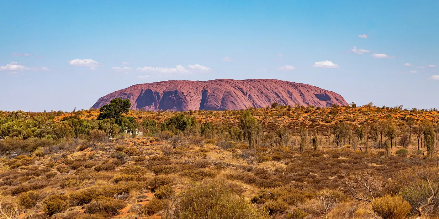
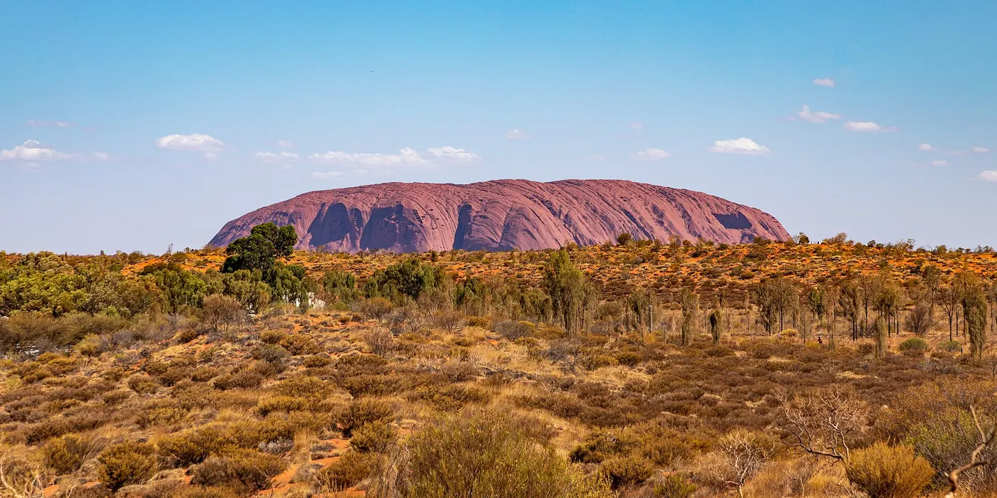
Walk around the base of Uluṟu
The full base walk is a 10.6km loop of about three and a half hours, with water, toilets and emergency call points. Parks Australia suggests starting early from the Mala carpark and walking clockwise, or choosing one shorter section. Signs mark sensitive sites where Aṉangu ask you not to take photos, and some tracks close on hot summer afternoons.
about 20 min
Walk · Uluru Base Walk
Photo: Dietmar Rabich, CC BY-SA 4.0
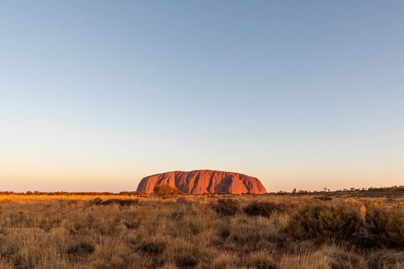
Watch sunrise at Talinguṟu Nyakunytjaku
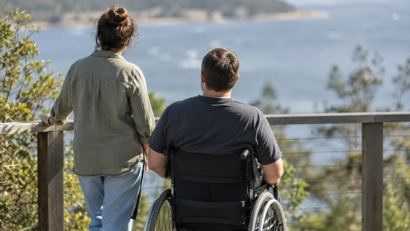
This is the main sunrise viewing area, 35 minutes' drive from Yulara, with shelters, platforms, toilets and water. Two short wheelchair-accessible loops share Aṉangu culture, and the 1km Minymaku Walk includes some of the games young children play. Park passes are free for under-18s, and adults pay $38 for three days.
about 25 min
Lookout · Talinguṟu Nyakunytjaku sunrise viewing area
Photo: Dietmar Rabich, CC BY-SA 4.0
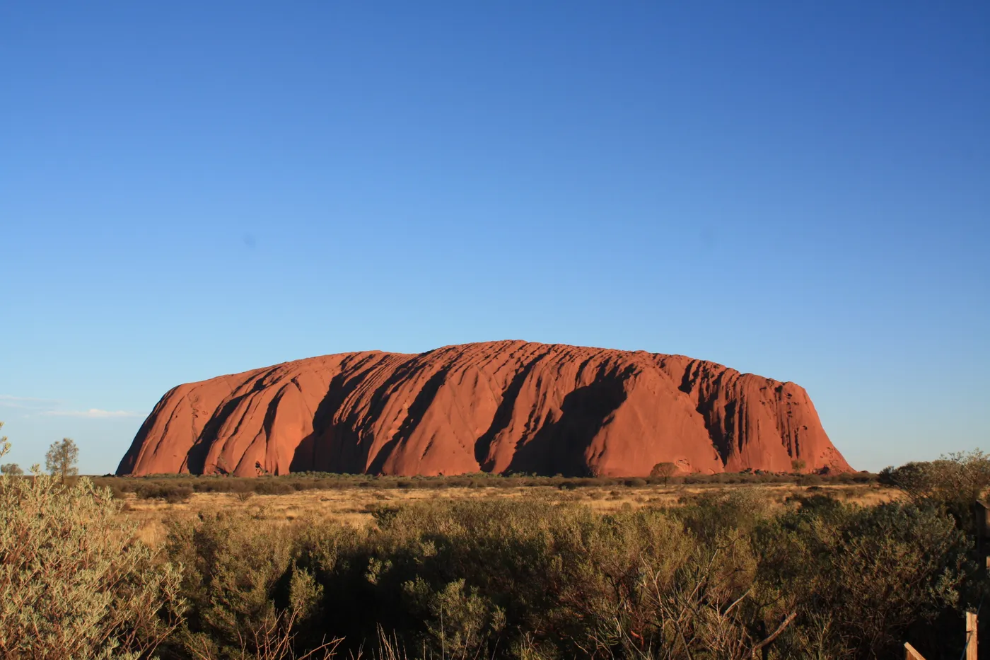
See Uluṟu glow red at sunset
From the car sunset viewing area, the rock shifts from pink to orange and deep red as the sun sinks behind you. It is 15 to 20 minutes from Yulara, with no toilets or water, and gets busy in school holidays, so arrive early. Aṉangu ask that photos show the whole rock rather than zoomed-in details.
about 15 min
Lookout · Uluṟu car sunset viewing area
Photo: Michelle Corcoran, CC BY-SA 4.0
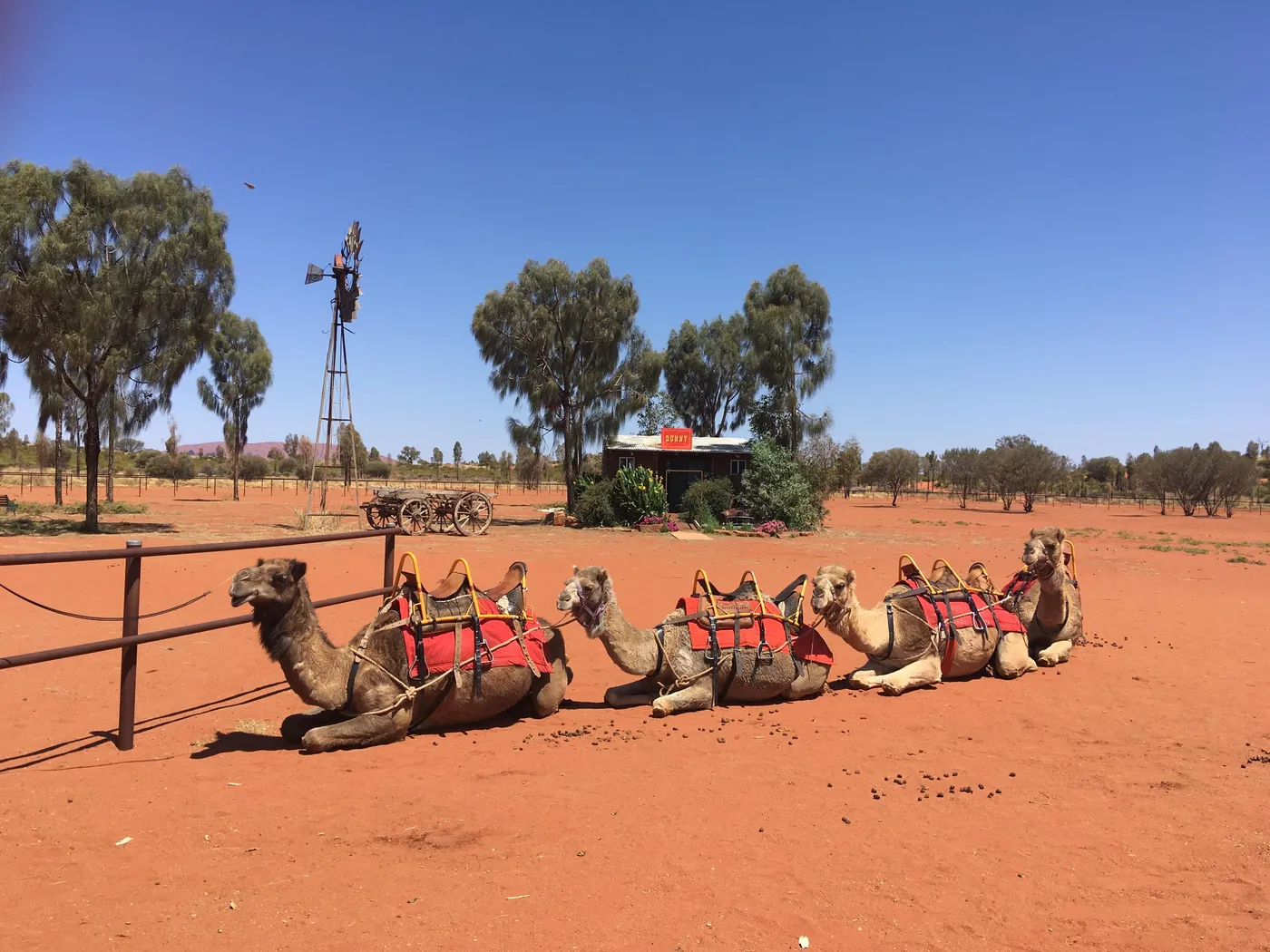
Meet the camels at Uluru Camel Tours
This working camel farm in Yulara has more than 50 camels, a saddlery and a museum about Australian and Afghan cameleers. Riders must be at least five years old and 107cm tall, and children up to 16 ride with a paying adult. Tours include pick-up and drop-off, and riders don't need a national park pass.
under 5 min
Animal encounter · Uluru Camel Tours camel farm
Photo: Christophe95, CC BY-SA 4.0
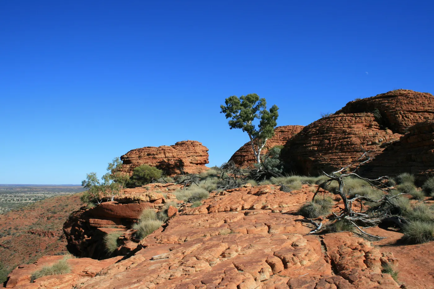
Climb to the rim of Kings Canyon
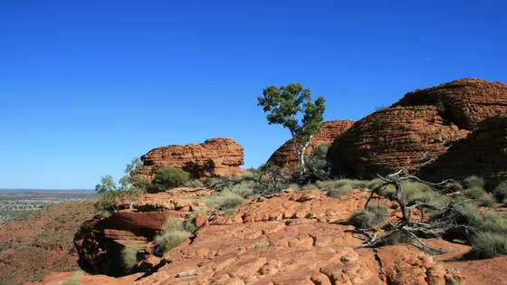
The rim walk is a 6km loop of three to four hours. It starts with a steep climb, so it is only for fit walkers, and swimming isn't allowed in the Garden of Eden rockhole halfway round. On days forecast to reach 36°C or more, you must start before 9am.
about 2 hr 15
Walk · Kings Canyon Rim Walk
Photo: Toby Hudson, CC BY-SA 3.0
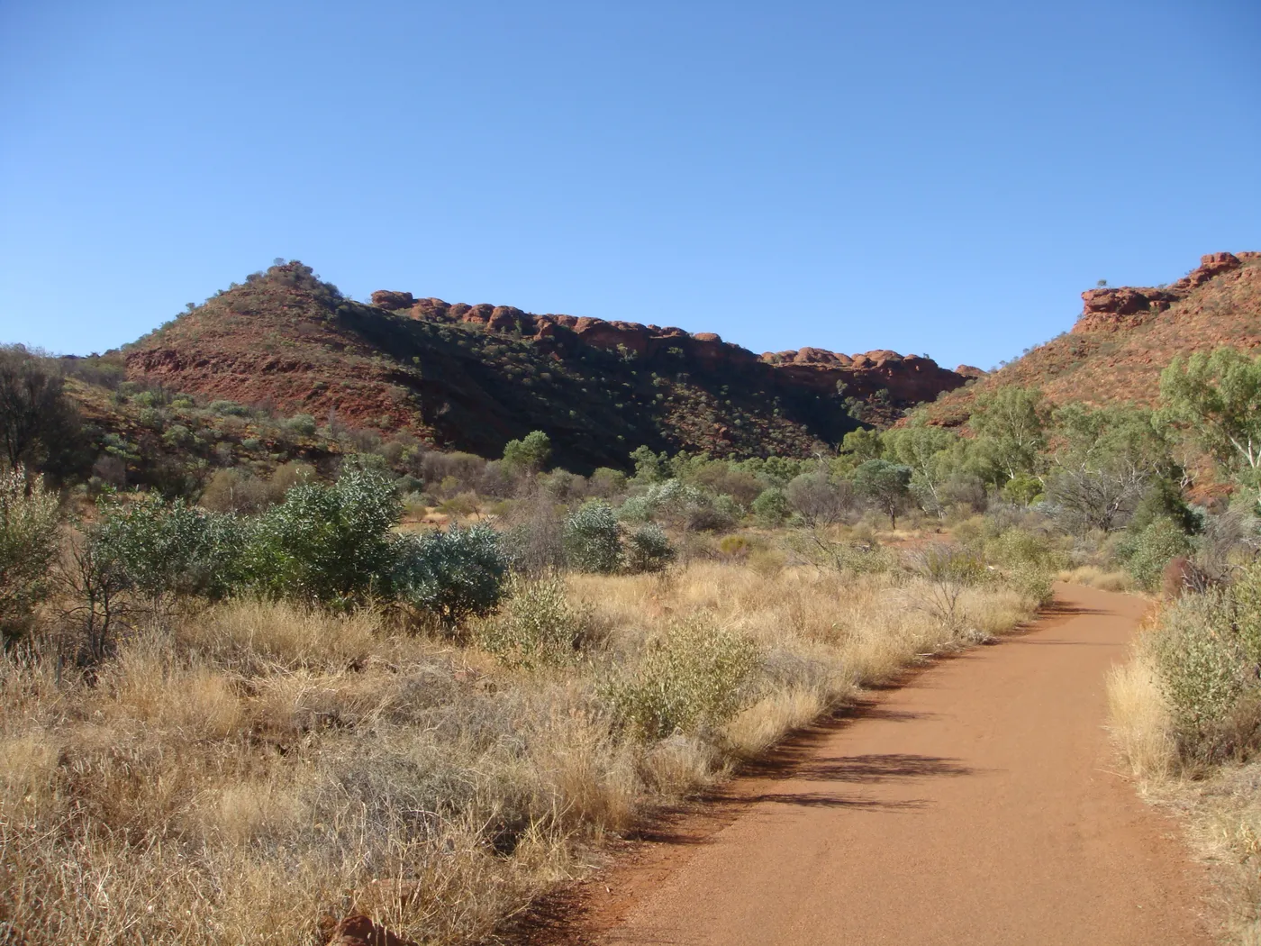
Take the easy walk into Kings Canyon
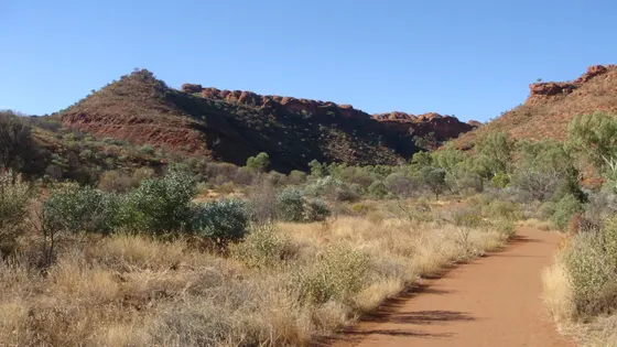
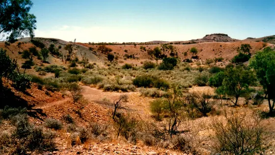
Kings Canyon's red walls rise 100m above Kings Creek, 450km south-west of Alice Springs. The Kings Creek Walk is an easy 2.6km return that takes about an hour, and Parks NT says it suits families. Everyone needs sturdy shoes, and park access is limited in the hottest months, September to March.
about 2 hr 15
Walk · Kings Creek Walk
Photo: Jorge Láscar from Australia, CC BY 2.0
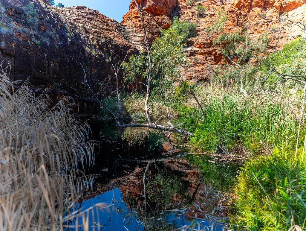
Push the pram to Kathleen Springs
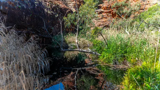
Kathleen Springs is 21km by road from Kings Canyon, and its 2.4km return path is paved for wheelchairs and prams. Signs along the way tell Aboriginal stories and the area's cattle history, and the path ends at a spring-fed waterhole. Swimming isn't allowed, as the waterhole is special to local Aboriginal people and important for wildlife.
about 2 hr 15
Walk · Kathleen Springs Walk
Photo: cafuego, CC BY-SA 2.0
Everything on the map
Over the border
Nearest first, from Yulara
Animals
Walks and lookouts
Over 30 minutes
from Yulara
Over 1½ hours
from Yulara
Museums and history
Over 1½ hours
from Yulara
Libraries, cinemas and theatres
Gardens and science


Over 1½ hours
from Yulara
Drive times are estimated from the distance, so treat them as a guide. Tap a card for the full page.
Region boundary: ABS Tourism Regions 2021 (Tourism Research Australia), CC BY 4.0. Outings from OpenStreetMap contributors (ODbL) and venues' own listings; nature spots from OpenStreetMap and park services.