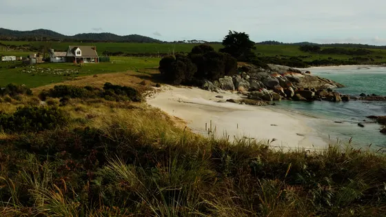
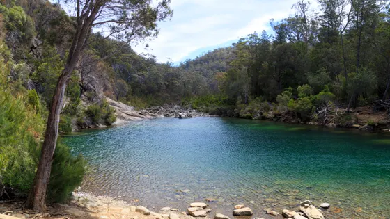
Water play and swimming for kids in Tasmania's East Coast

44 places to cool off across the region: water parks, pools, beaches, lakes and swimming spots, nearest first from Bicheno. Choose your suburb at the top to sort from where you are staying.

Everything on the map

Nearest first, from Bicheno

Beaches and islands
Beach illustration
Beach
Waubs Beach
Sheltered beach in the centre of Bicheno, patrolled by lifesavers in summer.
under 5 min
Beach illustration
Beach
Redbill Beach
Bicheno
under 5 min
Beach illustration
Beach
Denison Beach
Douglas River
about 10 min
Friendly Beaches
Beach
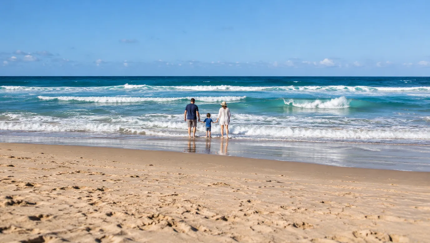
Friendly Beaches
Freycinet National Park
Long white beach reached off the Coles Bay Road; unpatrolled and Parks advises swimming is not recommended. Parks pass needed.
about 20 min
Photo: JJ Harrison, CC BY-SA 3.0
Over 30 minutes
from Bicheno
Beach illustration
Beach
Sandpiper Beach
Coles Bay
about 35 min
Beach illustration
Beach
Muirs Beach
Coles Bay
about 35 min
Beach illustration
Beach
Little Beach
Chain of Lagoons
about 35 min
Beach illustration
Beach
Nine Mile Beach
Dolphin Sands
about 35 min
Beach illustration
Beach
Richardsons Beach
Freycinet
about 35 min
Honeymoon Bay
Beach
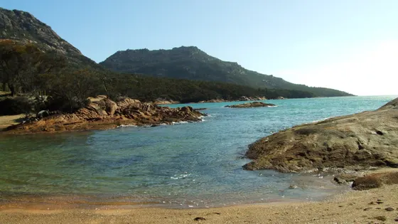
Honeymoon Bay
Freycinet National Park
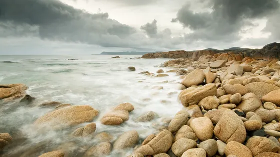
Sheltered bay that Parks rates good for beginner snorkellers, with rockpools to explore. Parks pass needed.
about 35 min
Photo: Wj32, CC BY-SA 3.0
Beach illustration
Beach
Jubilee Beach
about 40 min
Beach illustration
Beach
McIntyres Beach
Four Mile Creek
about 40 min
Beach illustration
Beach
Kennedia Beach
Swansea
about 40 min
Beach illustration
Beach
Schouten House Beach
Swansea
about 40 min
Beach illustration
Beach
Coswell Beach
Swansea
about 45 min
Beach illustration
Beach
Four Mile Creek Beach
Four Mile Creek
about 45 min
Beach illustration
Beach
Piermont Beach
Swansea
about 45 min
Beach illustration
Beach
Cowrie Beach
Swansea
about 45 min
Beach illustration
Beach
Cressy Beach
Swansea
about 45 min
Beach illustration
Beach
Spiky Beach
Swansea
about 45 min
Beach illustration
Beach
Mariposa Beach
Falmouth
about 45 min
Beach illustration
Beach
Kelvedon Beach
Swansea
about 50 min
Beach illustration
Beach
Steels Beach
Scamander
about 50 min
Beach illustration
Beach
Mayfield Beach
Rocky Hills
about 55 min
Beach illustration
Beach
Mayfield Beach
Little Swanport
about 55 min
Beach illustration
Beach
Wrinklers Beach
Scamander
about 55 min
Beach illustration
Beach
Beaumaris Beach
Beaumaris
about 60 min
Beach illustration
Beach
Lisdillon Beach
Little Swanport
about 60 min
Beach illustration
Beach
Saltworks Beach
Little Swanport
about 1 hr
Beach illustration
Beach
Dianas Beach
St Helens
about 1 hr
Beach illustration
Beach
Maurouard Beach
Stieglitz
about 1 hr 15
Beach illustration
Beach
Boltons Beach
Triabunna
about 1 hr 15
Binalong Bay
Beach
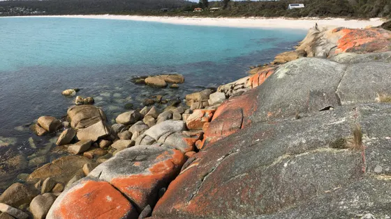
Binalong Bay
Bay of Fires Conservation Area
White sand and orange-lichen granite at the southern end of the Bay of Fires; Parks warns of steep drop-offs and rips.
about 1 hr 15
Photo: Phil Whitehouse, CC BY 2.0
Beach illustration
Beach
Jeanneret Beach
Binalong Bay
about 1 hr 15
Beach illustration
Beach
Swimcart Beach
Binalong Bay
about 1 hr 15
Beach illustration
Beach
Reids Beach
Triabunna
about 1 hr 30
The Gardens
Beach
The Gardens
Bay of Fires Conservation Area
Lichen-covered boulders and sheltered coves at the northern end of the Gardens Road; steep drop-offs and rips.
about 1 hr 30
Photo: Jogsia, CC BY-SA 4.0
Beach illustration
Beach
Raspins Beach
Orford
about 1 hr 30
Over 1½ hours
from Bicheno
Beach illustration
Beach
Millingtons Beach
Orford
about 1 hr 30
Beach illustration
Beach
Orford Beach
Orford
about 1 hr 30
Beach illustration
Beach
Shelly Beach
Orford
about 1 hr 30
Beach illustration
Beach
Shelly Beach
Orford
about 1 hr 30
Beach illustration
Beach
Spring Beach
Orford beach joined to East Shelly Beach by a scenic cliff walk, looking across to Maria Island.
about 1 hr 30
Drive times are estimated from the distance, so treat them as a guide. Tap a card for the full page.
Region boundary: ABS Tourism Regions 2021 (Tourism Research Australia), CC BY 4.0. Outings from OpenStreetMap contributors (ODbL) and venues' own listings; nature spots from OpenStreetMap and park services.