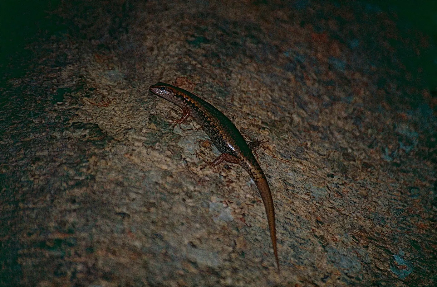
Things to do with kids in Mackay

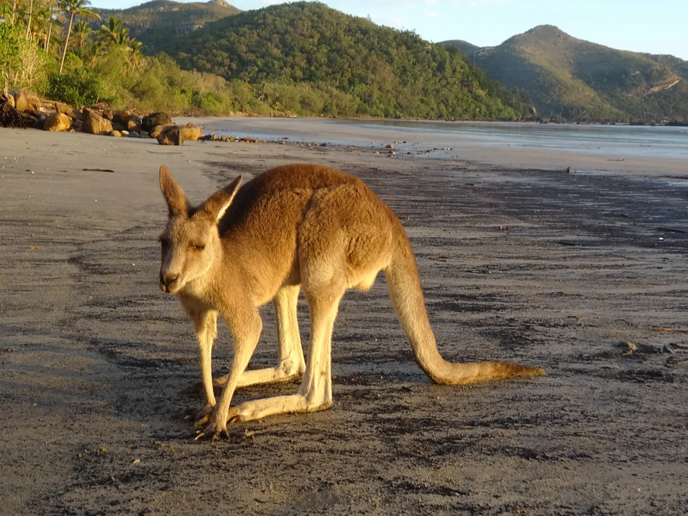
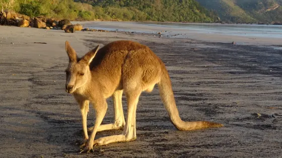
Set the alarm for Cape Hillsborough, about 45 minutes north of Mackay, where wallabies and kangaroos search the tide line for seed pods as the sun comes up. Please don't feed them. Afterwards, have breakfast at the picnic tables on the foreshore, and older kids can climb to Andrews Point for the view.
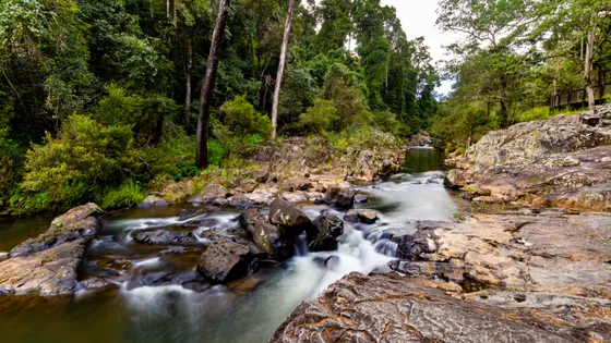
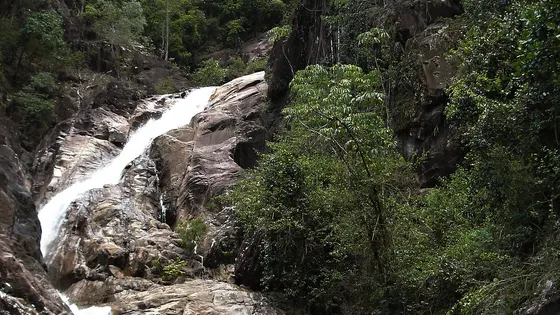
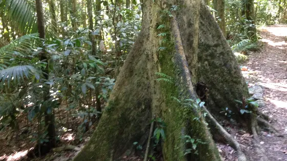
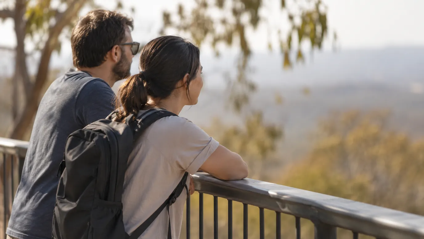
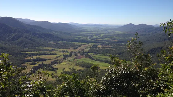
Up in the Eungella hills west of Mackay, there is a flat path at Broken River with platforms for spotting platypus and turtles. At Sky Window, a short circuit looks down the whole Pioneer Valley, and kids can stand inside a strangler fig arch further along the track. At Finch Hatton Gorge, a walk climbs to a lookout over the cascades, but the rocks are slippery, so hold hands.
Back in town, the Bluewater Trail is a long path for bikes and scooters, and it passes the free Bluewater Lagoon. The lagoon has fenced pools, water play and lifesavers in the warmer months. From Lamberts Lookout, you can watch for humpback whales in season.
91 family outings, waterfalls and walks across the region, sorted by drive time from Mackay. Choose your suburb at the top to sort from where you are staying.

Top things to do in Mackay

Cape Hillsborough Beach
Watch wallabies at sunrise at Cape Hillsborough
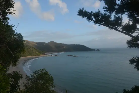
Wallabies and kangaroos search the morning tide line for mangrove seed pods while the sun comes up. The national park is about 45 minutes north of Mackay, with free electric barbecues, picnic tables and toilets on the foreshore. Please don't feed the animals, and watch for crocodiles; stingers are most common from October to May.
about 35 min
Beach · Cape Hillsborough Beach
Photo: Ian Cochrane, CC BY 2.0
Andrews Point Lookout
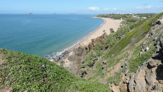
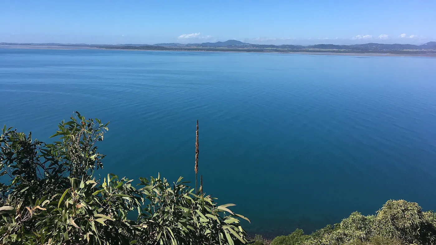
Climb to the views on Andrews Point
The Andrews Point track climbs to ocean and island views, 5.2km return and about two to two and a half hours. At low tide you can cut it to 2.8km by walking back along the beach, so check the Mackay tide times first. There are no toilets or picnic tables on the track; use the day-use area before you start.
about 35 min
Lookout · Andrews Point Lookout
Photo: Kimberly Melissa Booth, CC BY-SA 4.0
Platypus viewing platform
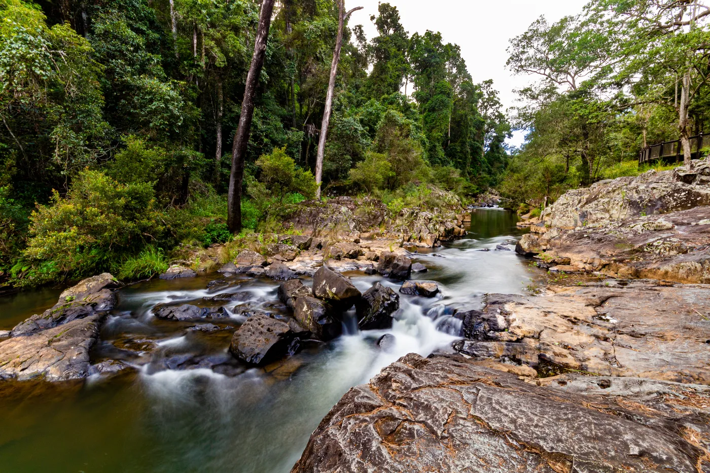
Look for platypus at Broken River
The River walk at Broken River is an easy, level 520m track with platforms for spotting platypus, turtles and eels. It suits young families and wheelchairs, and the visitor area has flush toilets, gas barbecues and shady picnic tables. Broken River is about 80km west of Mackay, 5.5km south of Eungella township.
about 1 hr 15
Lookout · Platypus viewing platform
Photo: Steven Penton from Bakers Beach, Tasmania Australia, CC BY 2.0
Sky Window
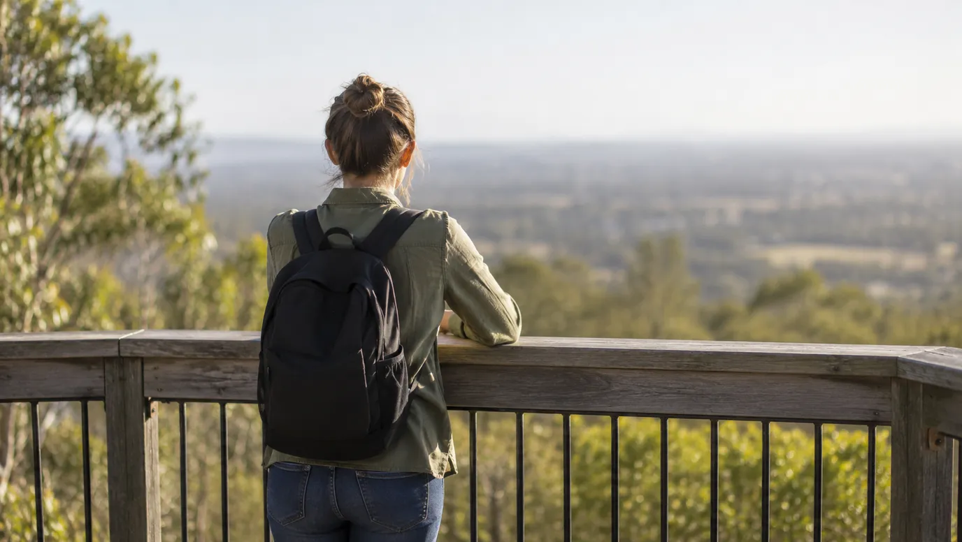
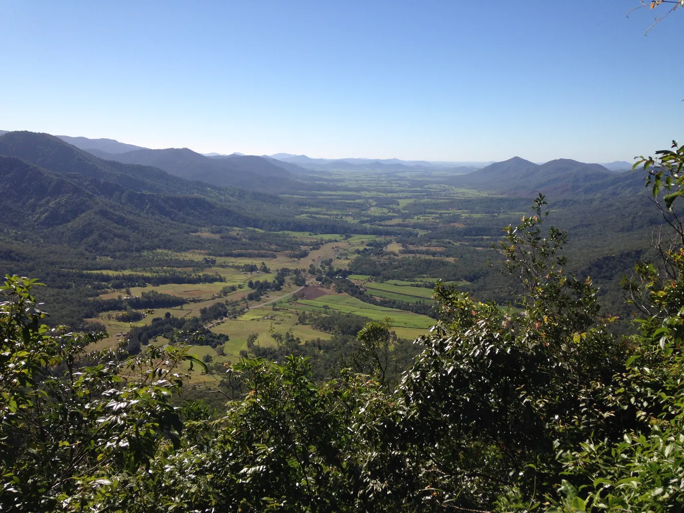
Look down the Pioneer Valley from Sky Window
The 250m Bandala Yalga circuit at Sky Window takes about 10 minutes and looks out over the Pioneer Valley; it's wheelchair accessible with help. From the same day-use area, the Cedar Grove track runs 2.8km one way under tall red cedars to a strangler fig arch. Kids can stand inside the arch; allow an hour or more each way.
about 1 hr 15
Lookout · Sky Window
Photo: Turtleplace, CC BY-SA 4.0
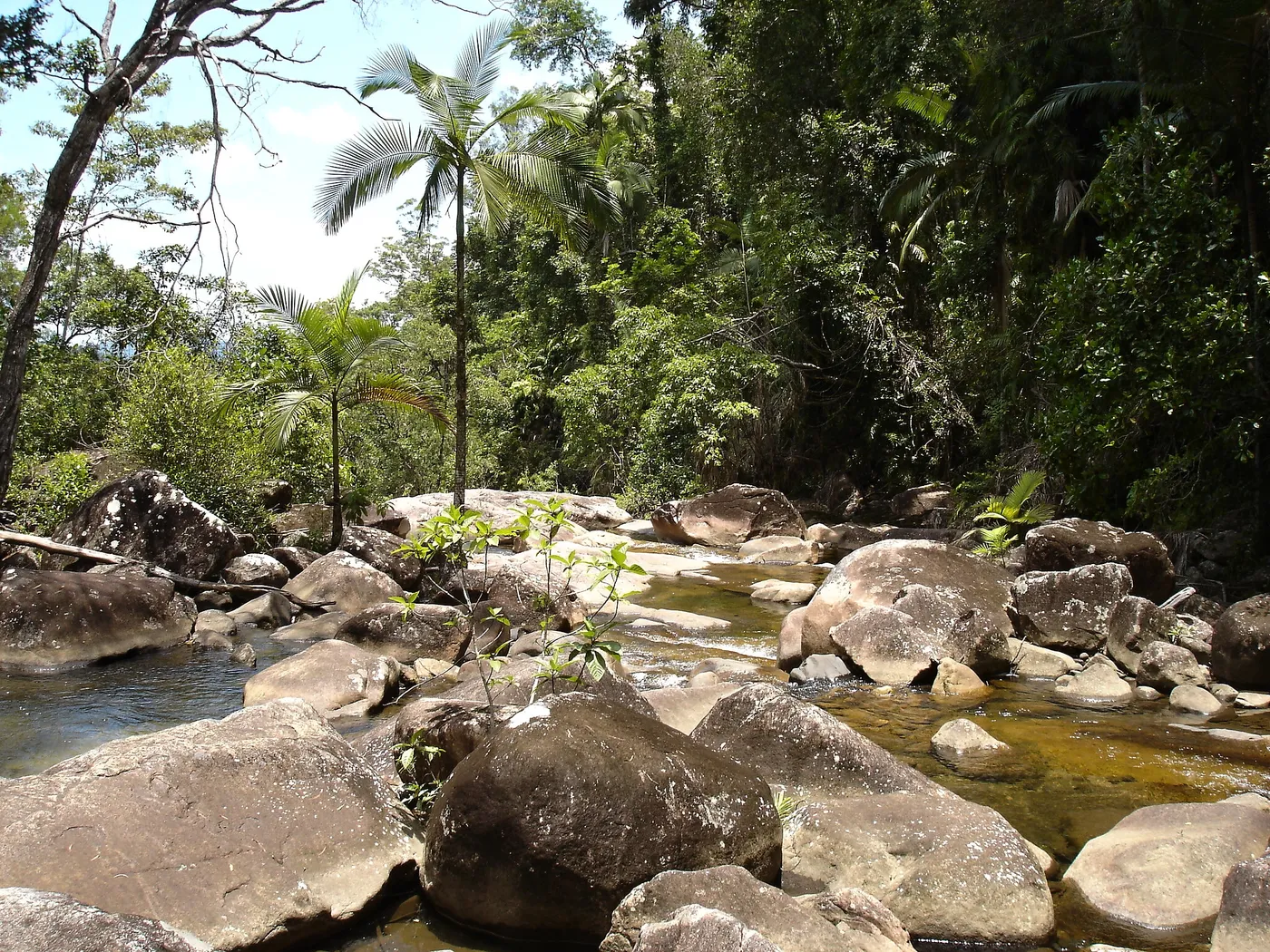
Finch Hatton Gorge
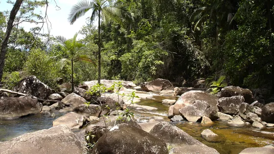
Walk to the cascades in Finch Hatton Gorge
The Araluen Cascades track climbs 2.8km return from the picnic area to a lookout over the falls; allow up to 1.5 hours. The gorge is about 70km west of Mackay, and the last 2.5km of road is unsealed with two causeways. People have died here, so never jump or dive into the pools and take great care on wet rocks.
about 1 hr
Walk · Finch Hatton Gorge
Photo: Pavel Špindler, CC BY 3.0
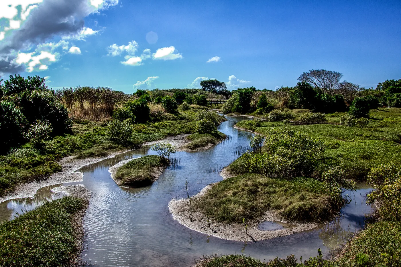
Bluewater Trail
Ride the Bluewater Trail to a free lagoon
This shared path runs about 20km through Mackay, linking the Botanic Gardens, the Pioneer River and Town Beach. One stop is the free Bluewater Lagoon on River Street: three fenced, tiered lagoons with water play and lifesavers on patrol. The lagoon opens 9am to 6pm from late September to March, and its blue slide runs on weekends, school and public holidays.
under 5 min
Walk · Bluewater Trail
Photo: Anthony Quinsey, Public domain
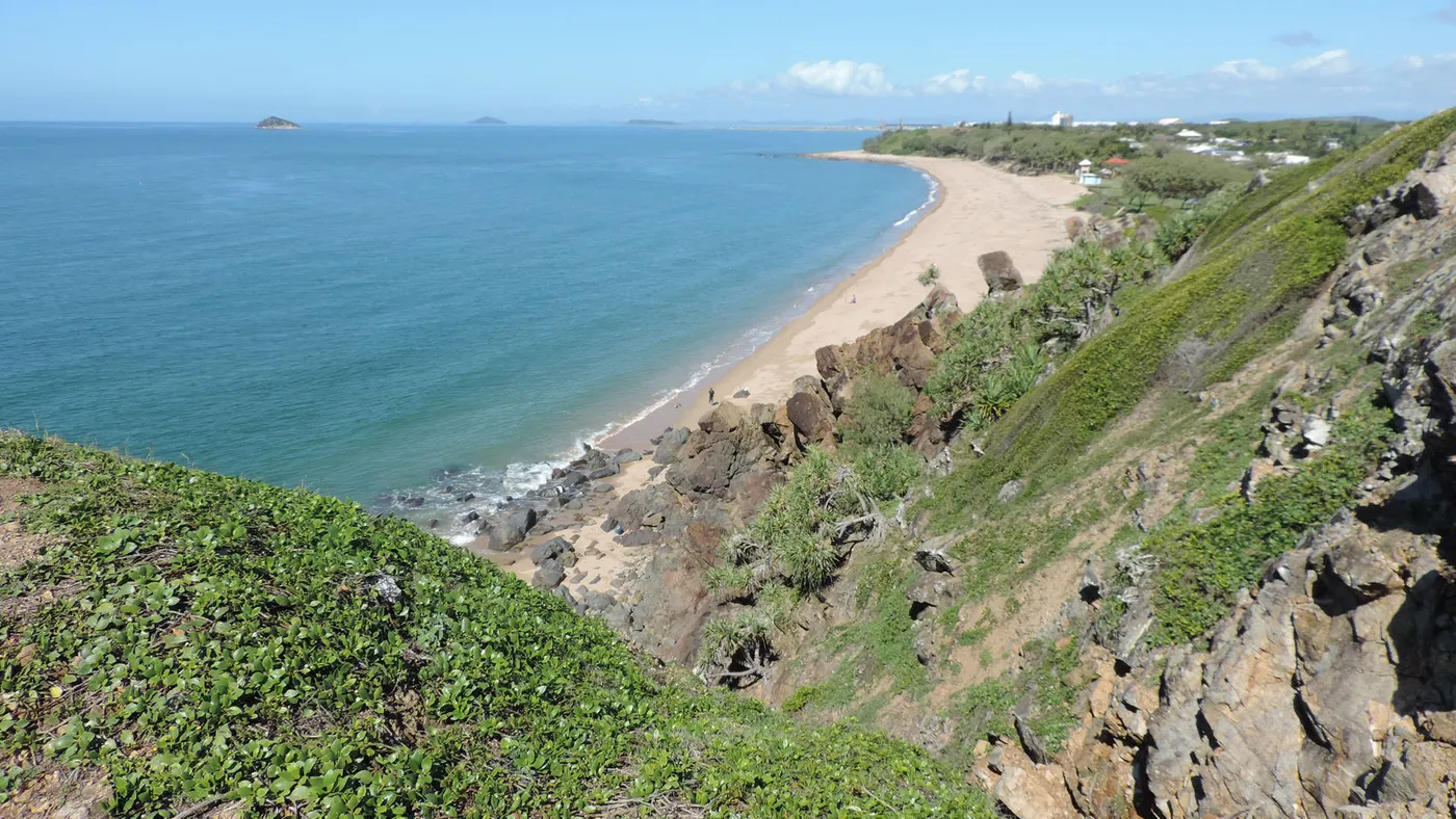
Lamberts Lookout
Spot humpbacks from Lamberts Lookout
This lookout above Lamberts Beach at Slade Point is a popular place to watch humpback whales migrating along the coast. It faces the Cumberland Islands and is one of the few spots in Mackay where you can see both the sunrise and the sunset. There's a picnic area with barbecues beside the car park.
about 15 min
Lookout · Lamberts Lookout
Photo: Kerry Raymond, CC BY 4.0
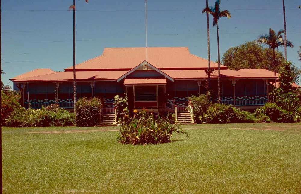
Greenmount Homestead
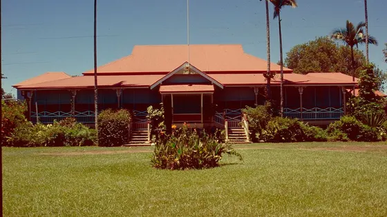
Tour a 1915 homestead at Greenmount
Greenmount Homestead, five kilometres west of Walkerston, was built in 1915 and holds more than 20,000 artefacts, with a blacksmith's workshop in the grounds. Tours run at 9.30, 10.30 and 11.30am, Monday to Wednesday and on the last Sunday of the month. Entry was $7 for adults and $3 for children aged 5 to 18 in October 2026, and under-5s are free.
about 25 min
Heritage · Greenmount Homestead
Photo: Heritage branch staff, CC BY 3.0
Can’t decide? Swipe through days out around Mackay
One card at a time. Keep the ones you like and they’re saved for later.
Start swiping →
Cape Hillsborough Beach
Andrews Point Lookout
Platypus viewing platform

Everything on the map

Nearest first, from Mackay

Beaches and islands
Beach illustration
Beach
Town Beach
Iluka Park beside the beach has an all-abilities playground, barbecues and toilets; big tides go out a long way.
under 5 min
Beach illustration
Beach
Illawong Beach
South Mackay
Croc and stinger country: check the flags and signs before anyone goes in.
about 5 min
Beach illustration
Beach
Mackay Harbour Beach
Seasonally patrolled by Mackay Surf Life Saving Club; two parks with playgrounds, barbecues and toilets nearby.
about 5 min
Beach illustration
Beach
Lamberts Beach
Slade Point
Croc and stinger country: check the flags and signs before anyone goes in.
about 15 min
Beach illustration
Beach
Turners Beach
Slade Point
Croc and stinger country: check the flags and signs before anyone goes in.
about 15 min
Beach illustration
Beach
Blacks Beach
Blacks Beach
Croc and stinger country: check the flags and signs before anyone goes in.
about 15 min
Beach illustration
Beach
Eimeo Beach
Sheltered bay with summer volunteer lifeguard patrols; shaded softfall playground for ages 2-9 on the Esplanade.
about 20 min
Beach illustration
Beach
Bucasia Beach
4 km walk
About 4 km of sand facing Dolphin Heads; Seaview Park on the Esplanade has barbecues, shade and toilets.
about 20 min
Beach illustration
Beach
Shoal Point
Shoal Point
Croc and stinger country: check the flags and signs before anyone goes in.
about 25 min
Beach illustration
Beach
Neils Beach
Habana
Croc and stinger country: check the flags and signs before anyone goes in.
about 25 min
Beach illustration
Beach
Williamsons Beach
Habana
Croc and stinger country: check the flags and signs before anyone goes in.
about 30 min
Over 30 minutes
from Mackay
Beach illustration
Beach
Belmunda Beach
Belmunda
Croc and stinger country: check the flags and signs before anyone goes in.
about 35 min
Beach illustration
Beach
Mick Ready Beach
Grasstree Beach
Croc and stinger country: check the flags and signs before anyone goes in.
about 35 min
Beach illustration
Beach
Grasstree Beach
Grasstree Beach
Croc and stinger country: check the flags and signs before anyone goes in.
about 35 min
Cape Hillsborough Beach
Beach
Cape Hillsborough Beach
Cape Hillsborough National Park
Wallabies and kangaroos feed along the tideline at sunrise; do not feed them. Crocodiles and stingers (most common Oct-May): wear a stinger suit when wading.
about 35 min
Photo: Ian Cochrane, CC BY 2.0
Beach illustration
Beach
Campwin Beach
Campwin Beach
Croc and stinger country: check the flags and signs before anyone goes in.
about 35 min
Beach illustration
Beach
Sarina Beach
Patrolled by the local surf club in season; shady esplanade park with picnic tables and barbecues.
about 35 min
Beach illustration
Beach
Johnsons Beach
Sarina Beach
Croc and stinger country: check the flags and signs before anyone goes in.
about 40 min
Beach illustration
Beach
Smalleys Beach
Cape Hillsborough
Croc and stinger country: check the flags and signs before anyone goes in.
about 40 min
Beach illustration
Beach
Smalleys Beach
Ball Bay
Croc and stinger country: check the flags and signs before anyone goes in.
about 40 min
Beach illustration
Beach
Arthur Bay Beach
Keswick Island
Croc and stinger country: check the flags and signs before anyone goes in.
about 40 min
Beach illustration
Beach
Basil Bay Beach
Keswick Island
Croc and stinger country: check the flags and signs before anyone goes in.
about 40 min
Beach illustration
Beach
Haliday Bay Beach
Haliday Bay
Croc and stinger country: check the flags and signs before anyone goes in.
about 40 min
Beach illustration
Beach
Connie Bay Beach
Coral Sea
Croc and stinger country: check the flags and signs before anyone goes in.
about 45 min
Beach illustration
Beach
Langton Bay Beach
Coral Sea
Croc and stinger country: check the flags and signs before anyone goes in.
about 45 min
Beach illustration
Beach
Seaforth Beach
Seaforth
Croc and stinger country: check the flags and signs before anyone goes in.
about 45 min
Beach illustration
Beach
Dewars Beach
Mentmore
Croc and stinger country: check the flags and signs before anyone goes in.
about 1 hr
Beach illustration
Beach
Notch Point Beach
Ilbilbie
Croc and stinger country: check the flags and signs before anyone goes in.
about 1 hr 15
Beach illustration
Beach
Midge Point Beach
Midge Point
Croc and stinger country: check the flags and signs before anyone goes in.
about 1 hr 15
Beach illustration
Beach
4 Mile Beach
Carmila
Croc and stinger country: check the flags and signs before anyone goes in.
about 1 hr 15
Over 1½ hours
from Mackay
Beach illustration
Beach
3 Mile Beach
Carmila
Croc and stinger country: check the flags and signs before anyone goes in.
about 1 hr 45
Beach illustration
Beach
Dry Creek
Clairview
Croc and stinger country: check the flags and signs before anyone goes in.
about 2 hr

Walks and lookouts

Bluewater Trail
Walk
Bluewater Trail
20 km walk
About 20 km shared path linking the Botanic Gardens, Bluewater Lagoon, the Pioneer River and Town Beach; walk any short section.
under 5 min
Photo: Anthony Quinsey, Public domain
Walk illustration
Walk
Gooseponds
8 km walk
Close to 8 km of shared paths around a wetland lagoon with geese, ducks and pelicans; shorter loops from Walters Parade.
under 5 min
Lamberts Lookout
Lookout
Lamberts Lookout
Binoculars for spotting humpback whales in season; playground and barbecues at Ram Chandra Park beside Lamberts Beach.
about 15 min
Photo: Kerry Raymond, CC BY 4.0
Over 30 minutes
from Mackay
Andrews Point Lookout
Lookout
Andrews Point Lookout
about 35 min
Photo: Kimberly Melissa Booth, CC BY-SA 4.0
Lookout illustration
Lookout
Diwaia Lookout (Turtle Lookout)
about 35 min
Twin Beach Lookout
Lookout
Twin Beach Lookout
about 35 min
Photo: John attkinson, CC BY-SA 4.0
Walk illustration
Walk
Beachcomber Cove Track
2.2 km walk
2.2 km return over the ridge to a secluded cove; allow 1.5-2 hr. Check tide times if returning along the beach.
about 35 min
Walk illustration
Walk
Diversity Boardwalk
1.2 km walk
1.2 km return boardwalk through mangroves and forest; about 40 min, wheelchair access with assistance.
about 35 min
Lookout illustration
Lookout
CD McKie Lookout
about 40 min
Finch Hatton Gorge
Walk
Finch Hatton Gorge
2.8 km walk
Araluen Cascades track is 2.8 km return uphill from the picnic area (1-1.5 hr). Never jump or dive; rocks are very slippery.
about 1 hr
Photo: Pavel Špindler, CC BY 3.0
Platypus viewing platform
Lookout
Platypus viewing platform
about 1 hr 15
Photo: Steven Penton from Bakers Beach, Tasmania Australia, CC BY 2.0
Cedar Grove Track
Walk
Cedar Grove Track
2.8 km walk
2.8 km one way from Sky Window through red cedars to a strangler fig arch; or loop it with the Pine Grove circuit.
about 1 hr 15
Photo: Turtleplace, CC BY-SA 4.0
Lookout illustration
Lookout
Platypus Lake Viewpoint
about 1 hr 15
Sky Window
Lookout
Sky Window
0.25 km walk
250 m Bandala Yalga circuit to views down the Pioneer Valley; picnic tables, barbecues and toilets at the day-use area.
about 1 hr 15
Photo: Turtleplace, CC BY-SA 4.0
Camping in Mackay
Camping
Camping in Mackay
Campgrounds and holiday parks, with powered sites, showers and what's near each one.
See the campgrounds →
Photo: Bernard DUPONT from FRANCE, CC BY-SA 2.0, Wikimedia Commons

Also in this region, more than 4 hours from Mackay

Drive times are estimated from the distance, so treat them as a guide. Tap a card for the full page.
Region boundary: ABS Tourism Regions 2021 (Tourism Research Australia), CC BY 4.0. Outings from OpenStreetMap contributors (ODbL) and venues' own listings; nature spots from OpenStreetMap and park services.