
Things to do with kids in Riverland SA
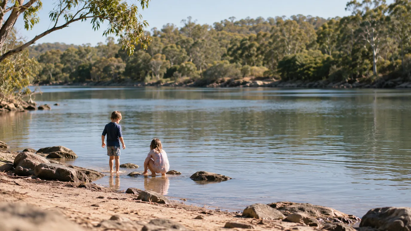
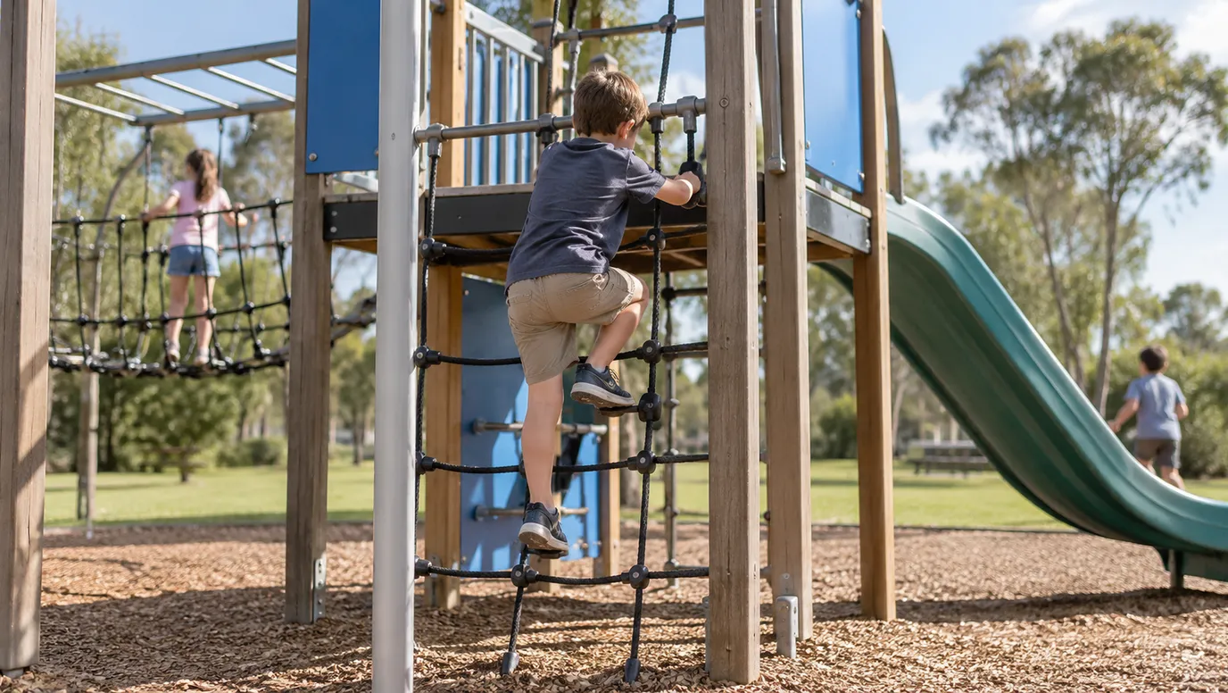
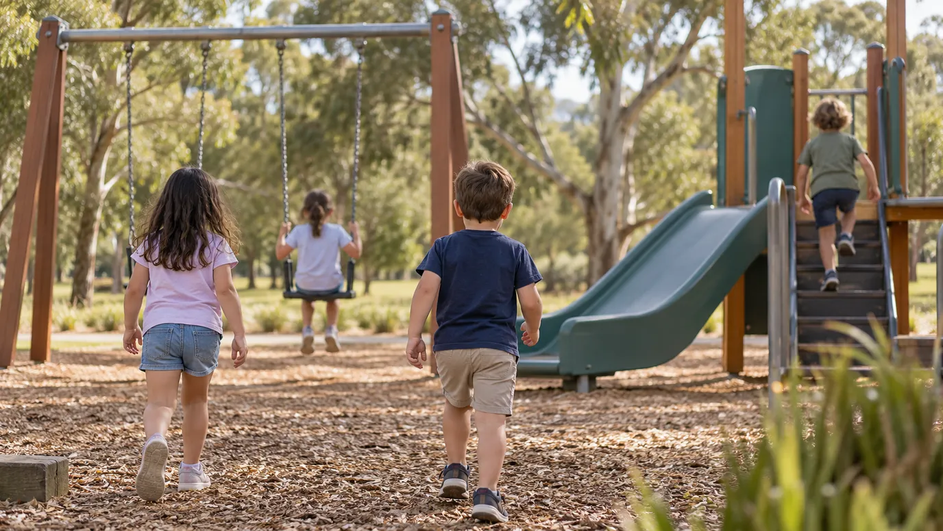
The Riverland's best family spot is free. Monash Adventure Park has leaning towers, a rope bridge, a flying fox and a maze, with free barbecues so you can stay for lunch. At Barmera, the playground looks over Lake Bonney, and the beach across the road has no waves, which suits small children. Check the water quality alerts before a swim.
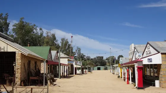
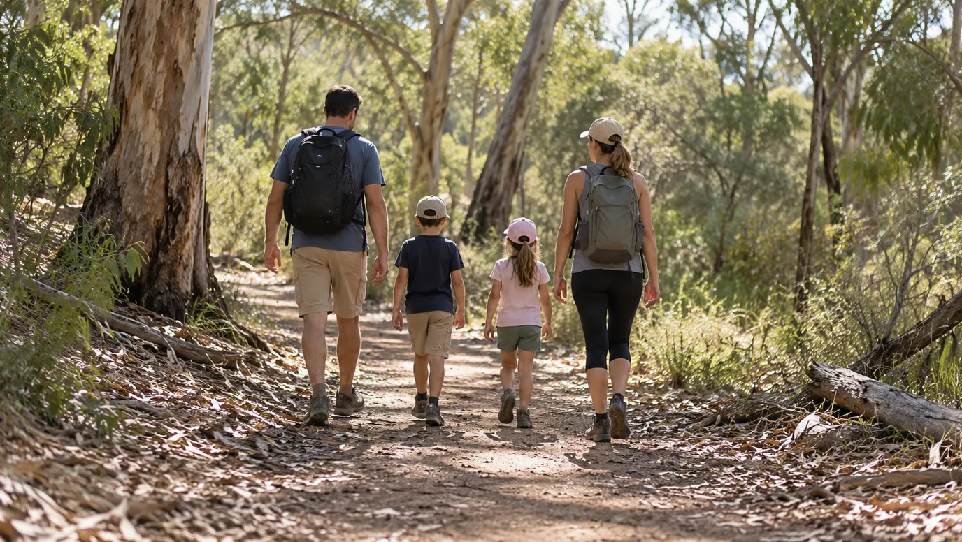
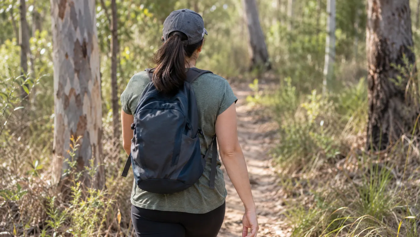
In Loxton, the Historical Village lets kids ride old trikes, play marbles and hopscotch and sit at an old school desk. Near Berri, the Kai Kai Nature Trail is an easy 40-minute walk along a creek, with signs about the plants and animals.
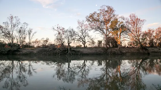
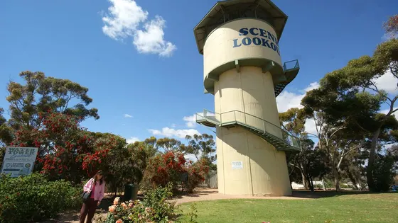
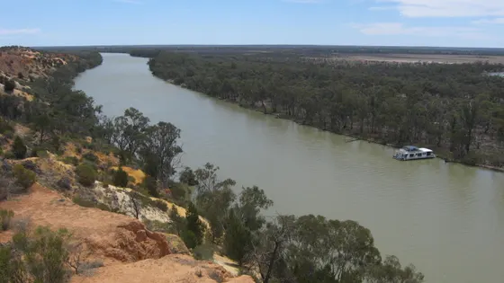
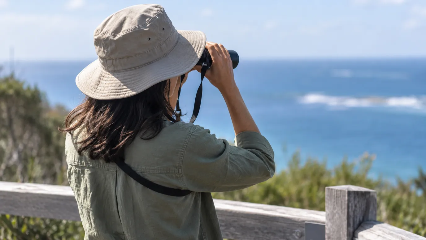
For a view of the Murray, climb the Berri water tower, which is free, or the platform at Headings Cliff near Paringa. In Renmark, Olivewood has an old log cabin and a 1926 fire engine.
48 family outings, waterfalls and walks across the region, sorted by drive time from Berri. Choose your suburb at the top to sort from where you are staying.
✓ Everything
Free · 29
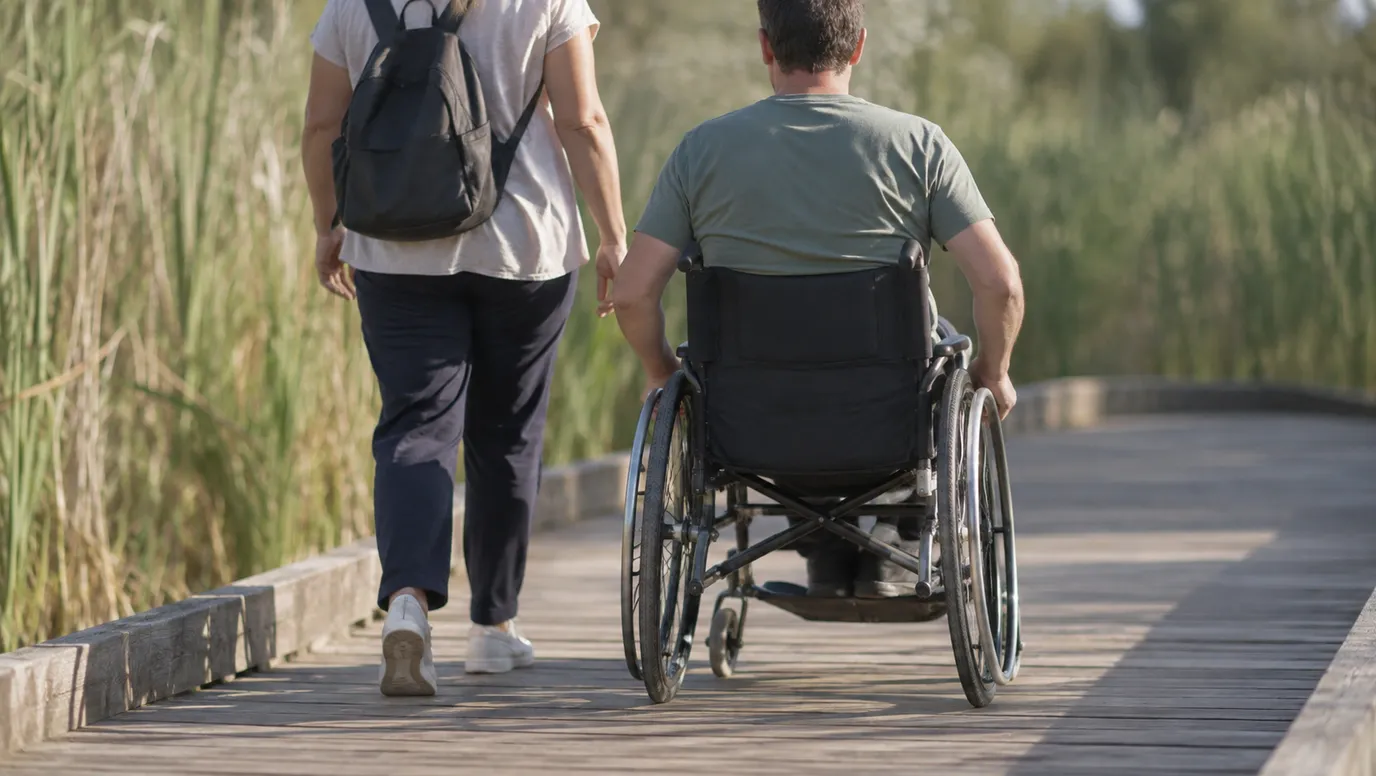
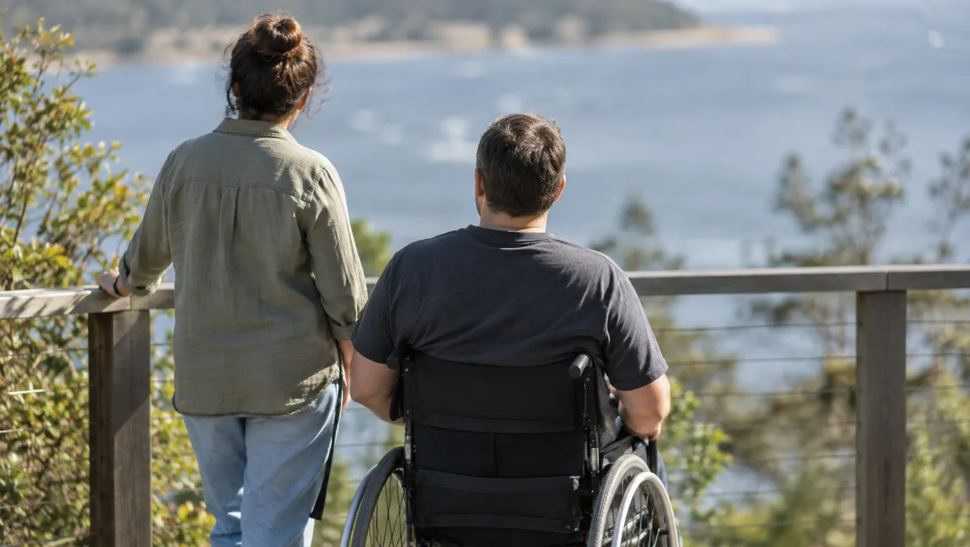
Wheelchair access · 3
Top things to do in Riverland SA
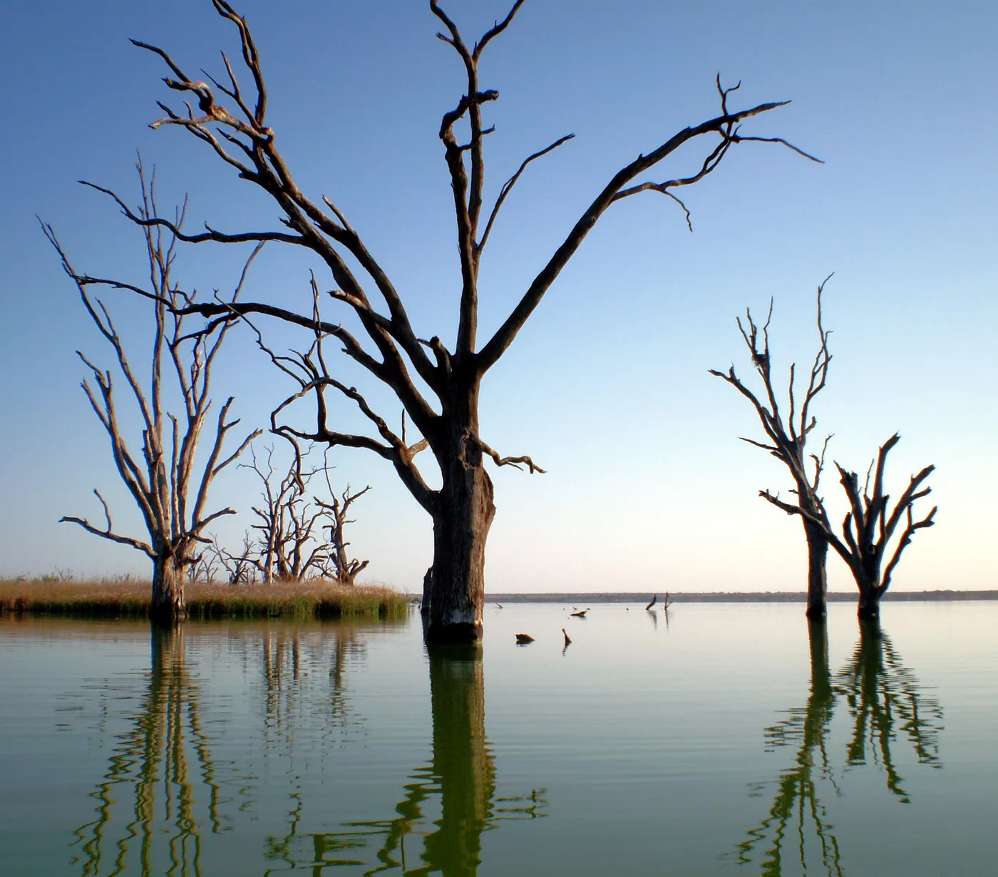
Paddle at Lake Bonney's wave-free beach
Barmera's free playspace overlooks Lake Bonney, and the wave-free beach across the road suits small children. The playspace has barbecues, shelters and toilets. SA Health listed no alert for the lake when we checked in October 2026, but look at its water quality alerts before a swim.
about 20 min
Lake · Lake Bonney
Photo: John Morton from Adelaide, CC BY 2.0
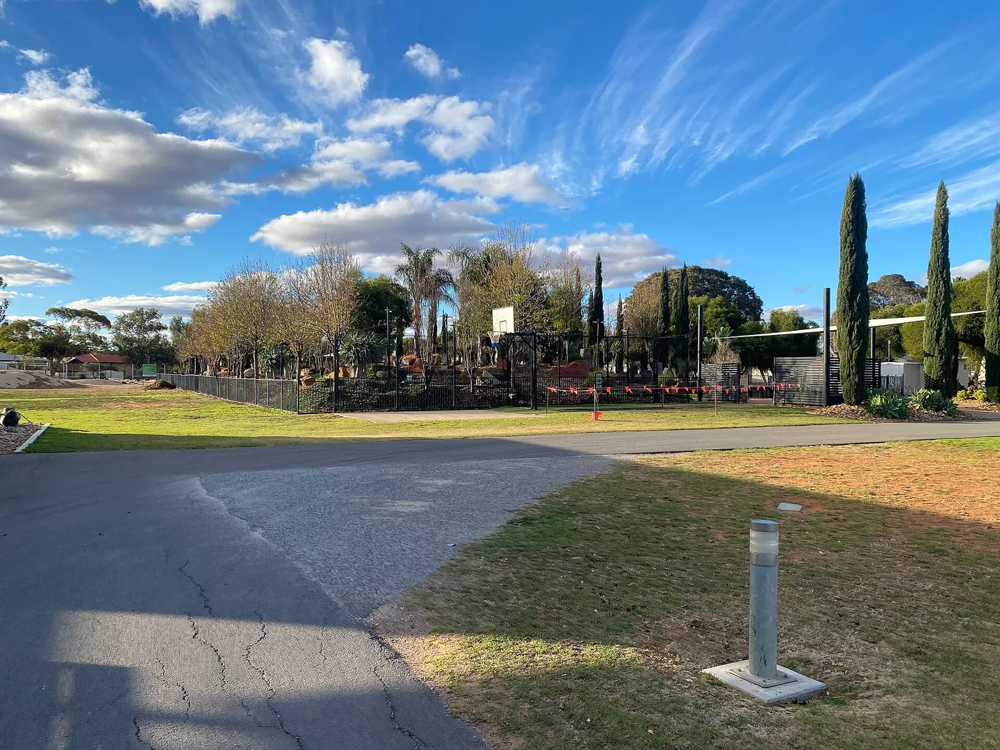
Cross the rope bridge at Monash Adventure Park
Crazy leaning towers, a Burmese rope bridge, a flying fox and a maze fill this free park, with a creek winding through it. Free electric barbecues, picnic tables and toilets make it easy to stay for lunch.
about 10 min
Big playground · Monash Adventure Park
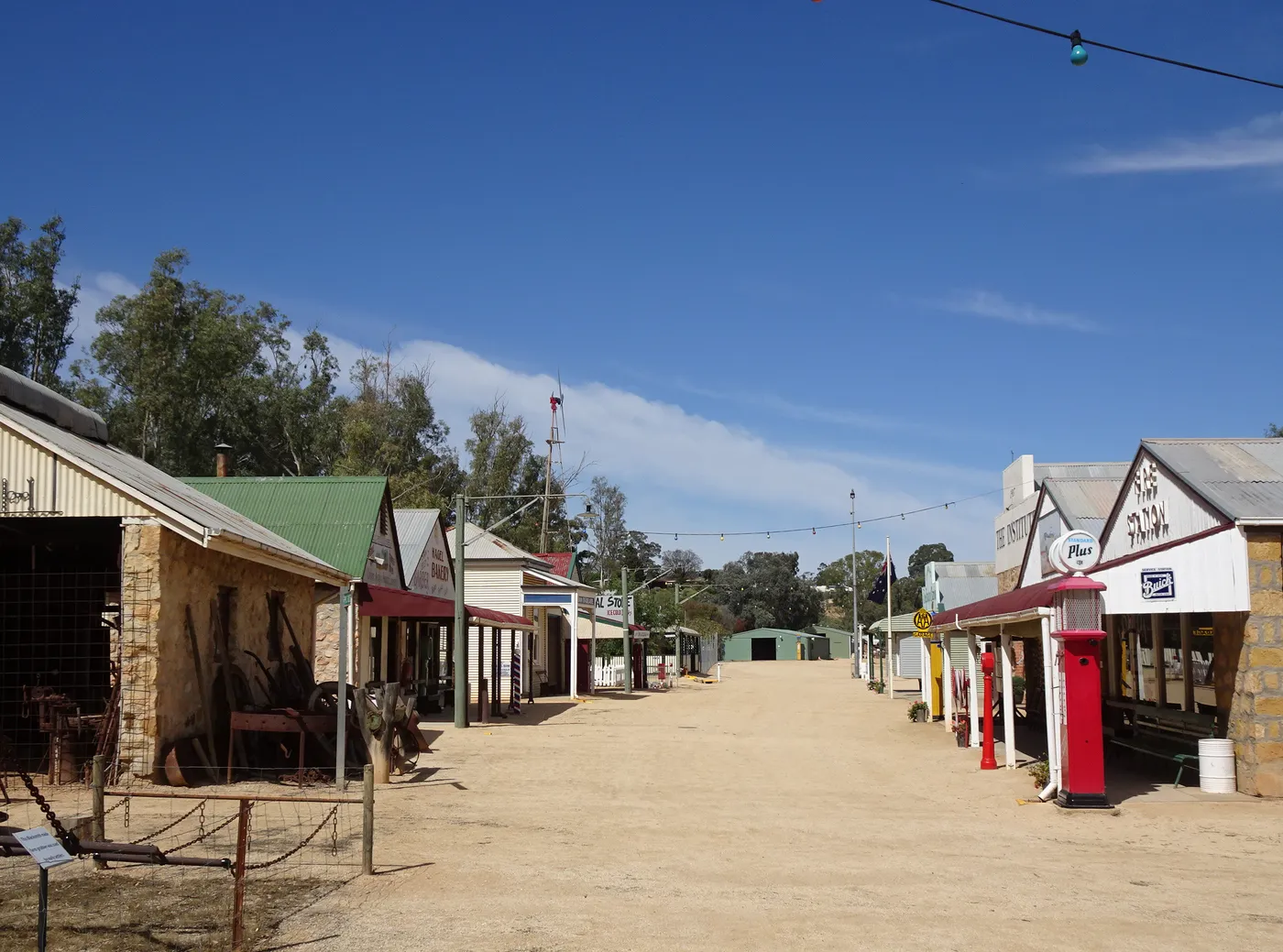
Play old games at Loxton Historical Village
More than 45 furnished buildings show Riverland life from the late 1890s to the 1950s. Kids can ride old trikes, play marbles and hopscotch, climb aboard the steam train and write in cursive at an old school desk. The village opens Tuesday to Sunday, 10am to 4pm.
about 25 min
Heritage · Loxton Historical Village
Photo: Michael Coghlan from Adelaide, Australia, CC BY-SA 2.0
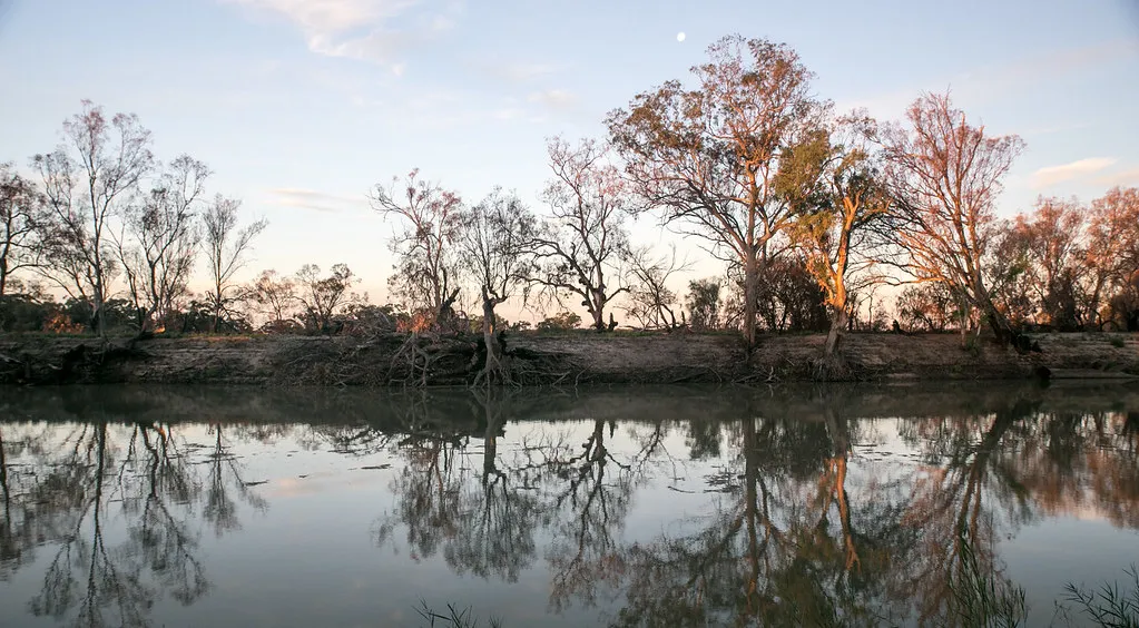
Spot wildlife on the Kai Kai Nature Trail
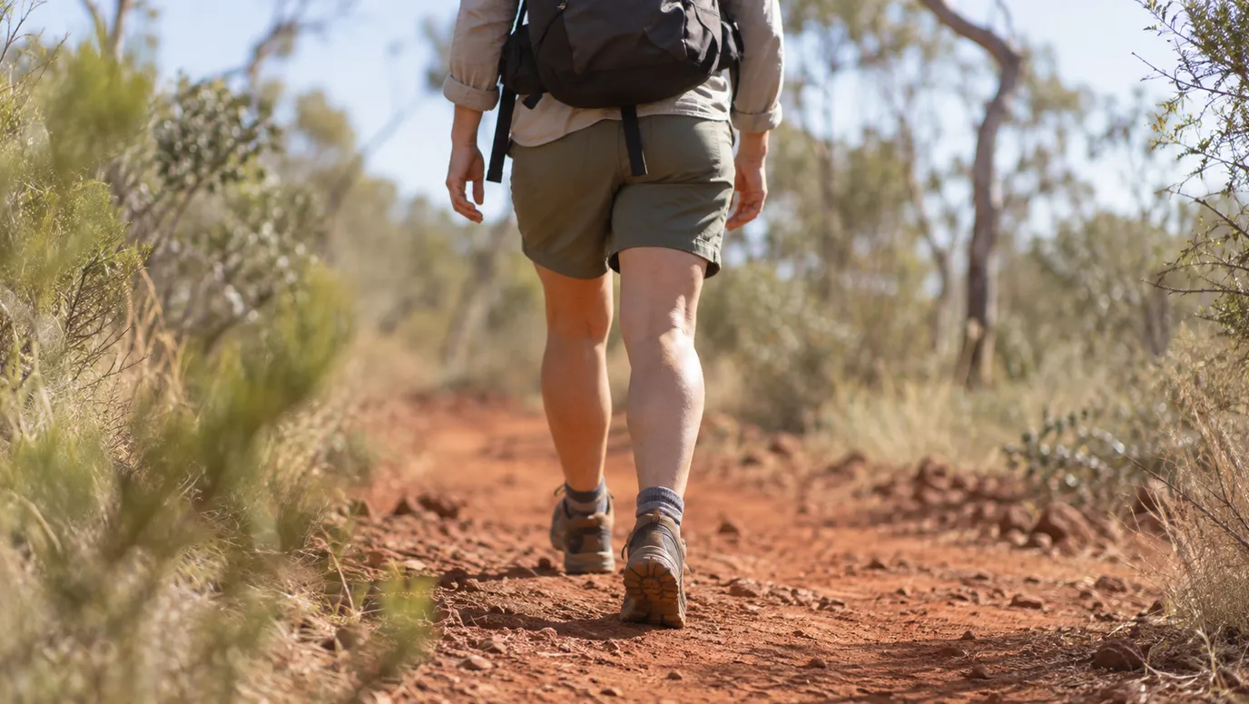
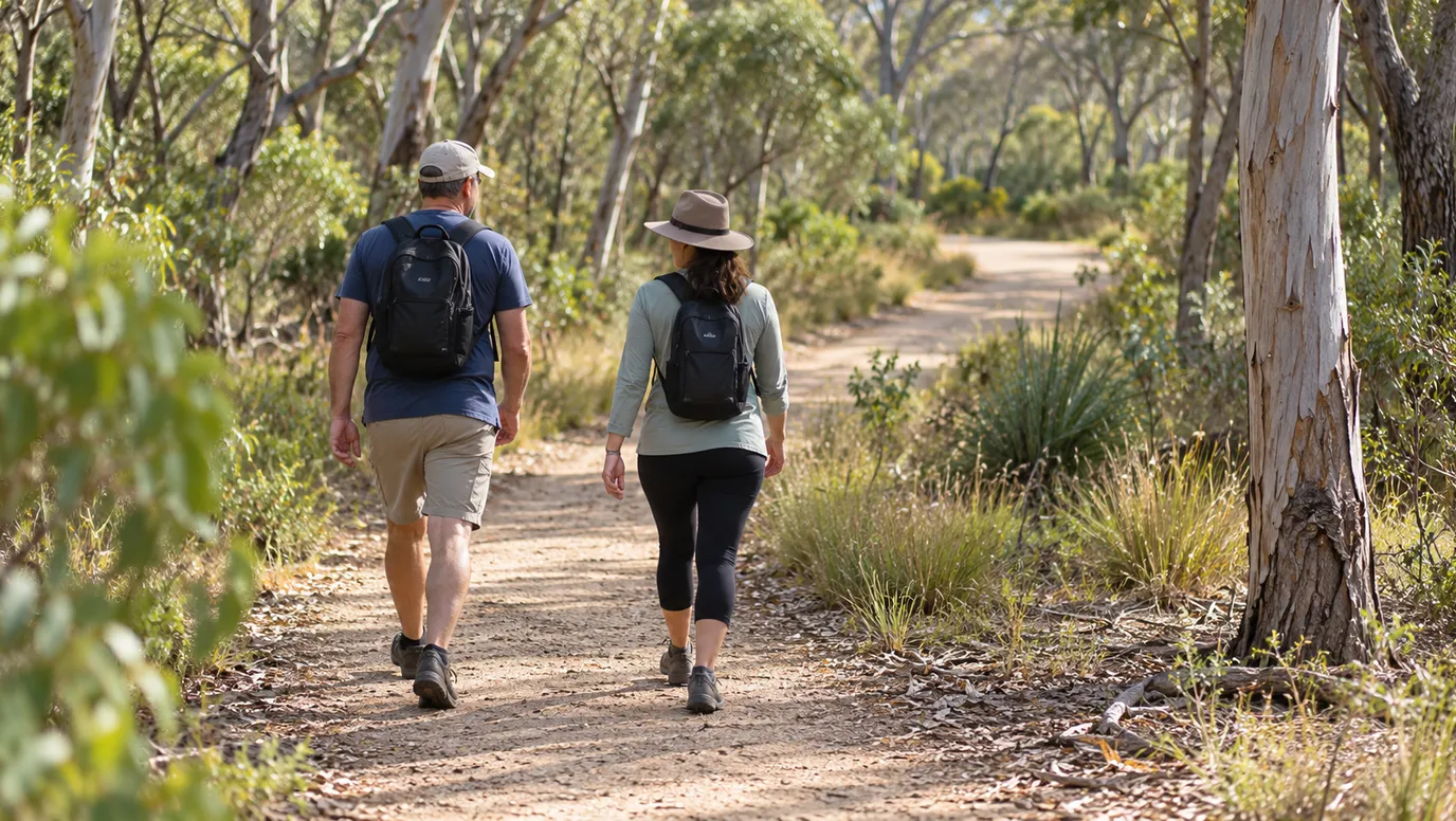
This easy 1.25km walk in the Katarapko section of Murray River National Park takes about 40 minutes. Signs along the creek explain the plants, the animals and how Aboriginal people used the land, and kangaroos and echidnas live in the park. Lock 4 Road and campsites 4 to 14 are closed until 13 November 2026 for environmental watering, so check park alerts first.
about 20 min
Walk · Kai Kai Nature Trail
Photo: Robyn Jay, CC BY-SA 2.0
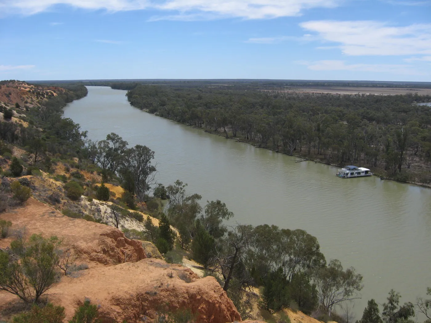
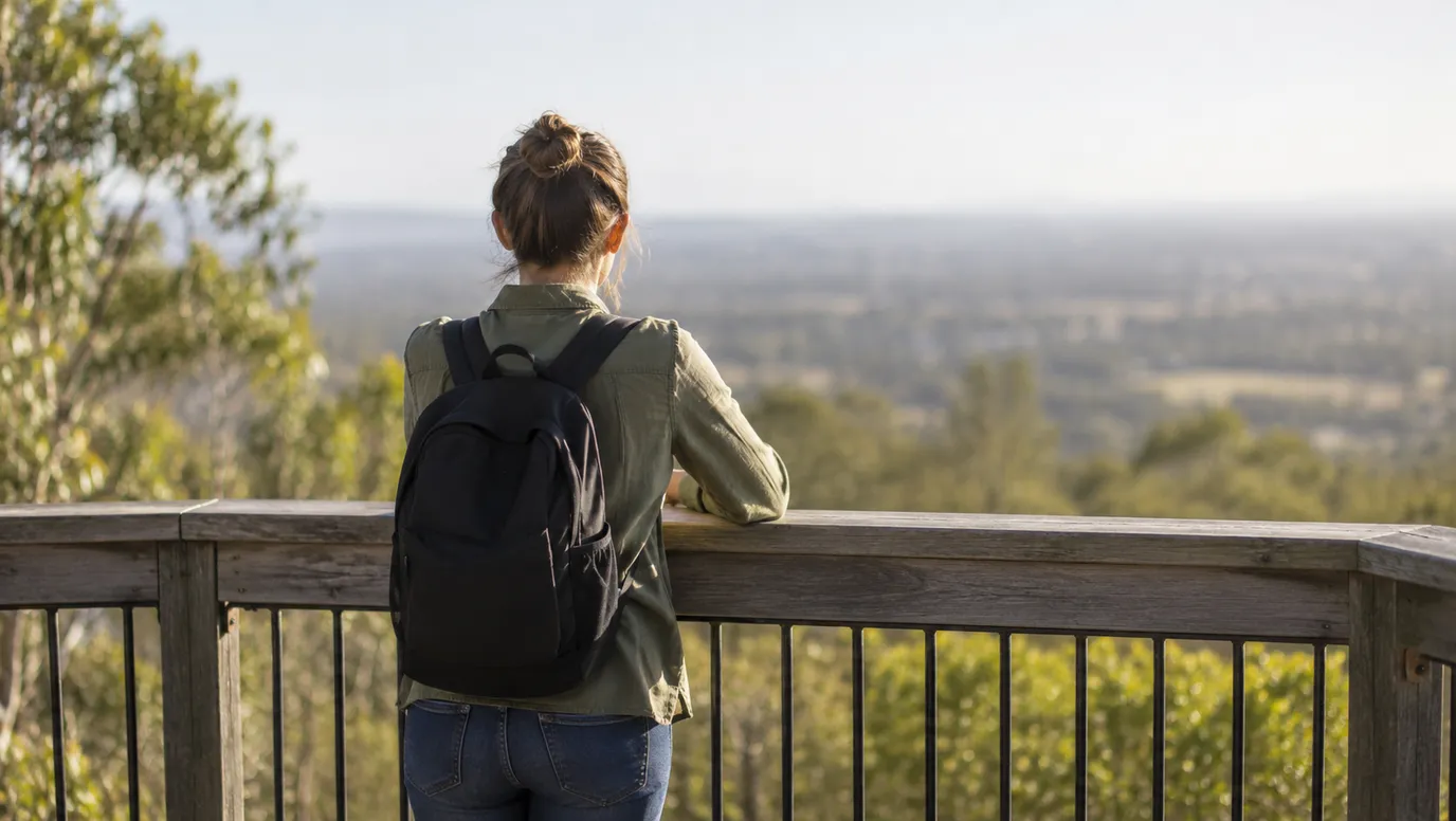
Climb the platform at Headings Cliff
A fenced track leads to a view over the Murray River, and a tower platform takes you higher still. The lookout is free, with plenty of parking, about a 10-minute drive from Paringa.
about 35 min
Lookout · Headings Cliff Lookout
Photo: Kaarenmax19, CC BY-SA 4.0
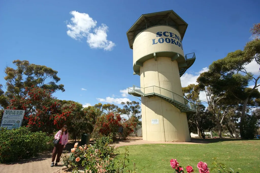
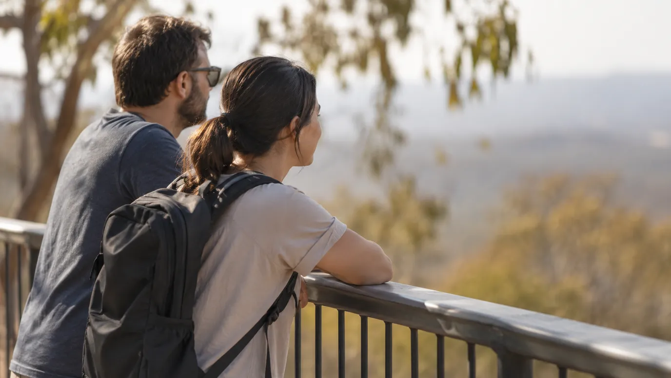
Head up the Berri lookout tower
The 15.8m tower is free to climb between 9am and 5pm, with a barbecue and picnic area at its base. Martin Bend Reserve, about 2km away, is a popular river swimming spot with barbecues and toilets.
under 5 min
Lookout · Berri Watertower Lookout
Photo: Ian Sutton, CC BY 2.0
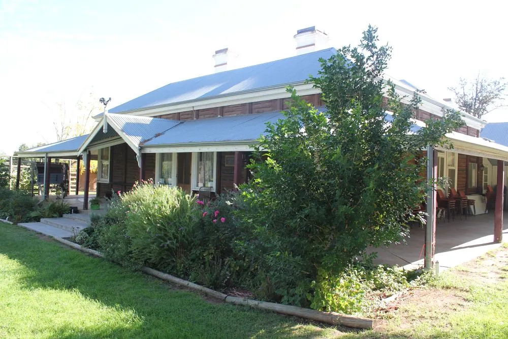
Visit an 1889 log cabin at Olivewood
Olivewood in Renmark keeps an 1889 log cabin, a 1926 fire engine and an olive grove planted in 1890. It opens Thursday to Monday, 10am to 4pm. A family ticket for two adults and two kids is $20.
about 25 min
Museum · Olivewood-National Trust
Photo: South Australian History Network, CC0
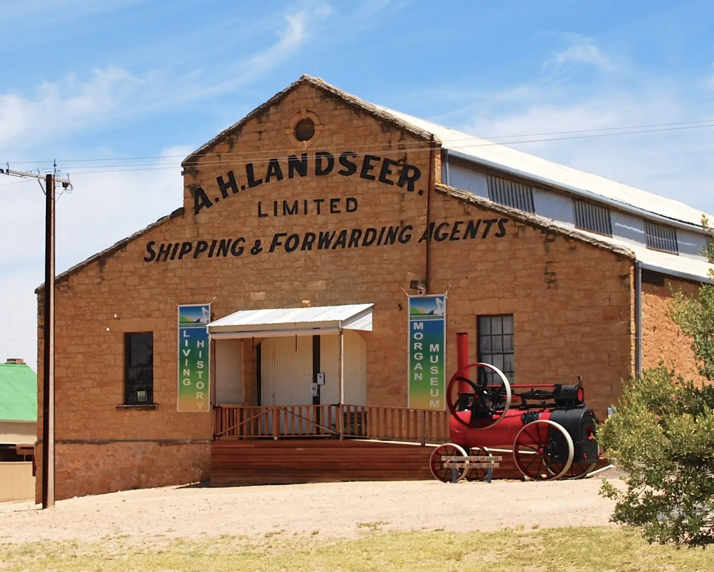
See horse-drawn carts in Morgan's Landseer building
This old warehouse above the river holds horse-drawn vehicles, a 1926 Chevrolet truck, an 1870 steam engine and wool bales on a timber wharf. Kids under 16 get in free. Volunteers run it, so call ahead before you make the trip.
about 1 hr 45
Museum · Landseer Building
Photo: Mattinbgn at Wikimedia Commons, CC BY-SA 3.0
Everything on the map
Over the border
Nearest first, from Berri
Animals
Waterfalls, lakes and swimming



Over 30 minutes
from Berri
Walks and lookouts
Over 30 minutes
from Berri
Over 1½ hours
from Berri

Big playgrounds
Over 30 minutes
from Berri

Over 1½ hours
from Berri
Play
Over 30 minutes
from Berri

Museums and history


Over 1½ hours
from Berri

Libraries, cinemas and theatres



Over 30 minutes
from Berri

Over 1½ hours
from Berri

Gardens and science

Over 30 minutes
from Berri
Drive times are estimated from the distance, so treat them as a guide. Tap a card for the full page.
Region boundary: ABS Tourism Regions 2021 (Tourism Research Australia), CC BY 4.0. Outings from OpenStreetMap contributors (ODbL) and venues' own listings; nature spots from OpenStreetMap and park services.