Things to do with kids in The Grampians

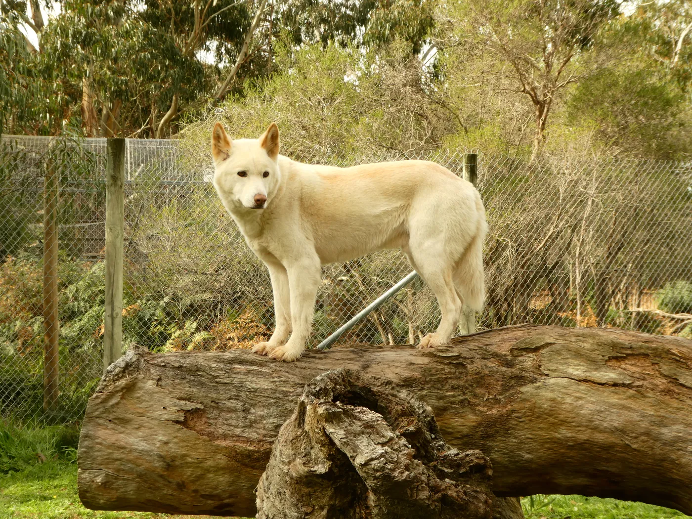
Halls Gap is the base for almost everything in the Grampians, and kangaroos often graze on the town's ovals at dusk. At Halls Gap Zoo, kids can hand-feed kangaroos and deer, and see giraffes, red pandas and Tasmanian devils along a path that takes prams.
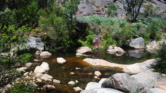
From the middle of town, a flat track follows the creek to Venus Baths, where kids can splash in the rock pools on a warm day. With young kids, the best way up to the Pinnacle is from the Sundial car park, a couple of hours return with some rock-hopping. Silverband Falls is an easy stroll for little legs.
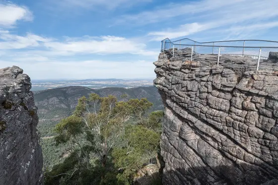
For views without much walking, Boroka Lookout is a five-minute stroll from the car and beautiful at sunrise. The Balconies are a short walk further out, but the cliffs are unfenced, so hold hands. Lake Bellfield, just out of town, is good for a picnic and a swim.
62 family outings, waterfalls and walks across the region, sorted by drive time from Halls Gap. Choose your suburb at the top to sort from where you are staying.

Top things to do in The Grampians

Halls Gap Zoo
Feed kangaroos at Halls Gap Zoo
More than 120 species live here, from giraffes and red pandas to Tasmanian devils. Buy animal food to hand-feed kangaroos, wallabies and deer, and push the pram along the 2.5km path. It opens 10am to 5pm daily; a family pass for up to four kids was $115 in October 2026.
about 5 min
Wildlife park · Halls Gap Zoo
Photo: eileenmak, CC BY 2.0
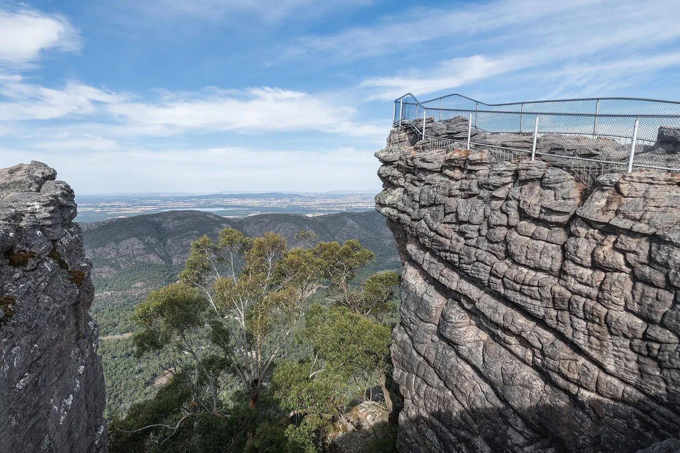
The Pinnacle
Climb to the Pinnacle
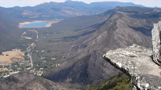
With young children, start from the Sundial car park: it's a 2.1km walk up to the Pinnacle lookout. Allow a little over two hours return, with water crossings and rock-hopping, so wear sturdy shoes. The view takes in Halls Gap and Lake Bellfield.
under 5 min
Walk · The Pinnacle
Photo: DXR, CC BY-SA 4.0
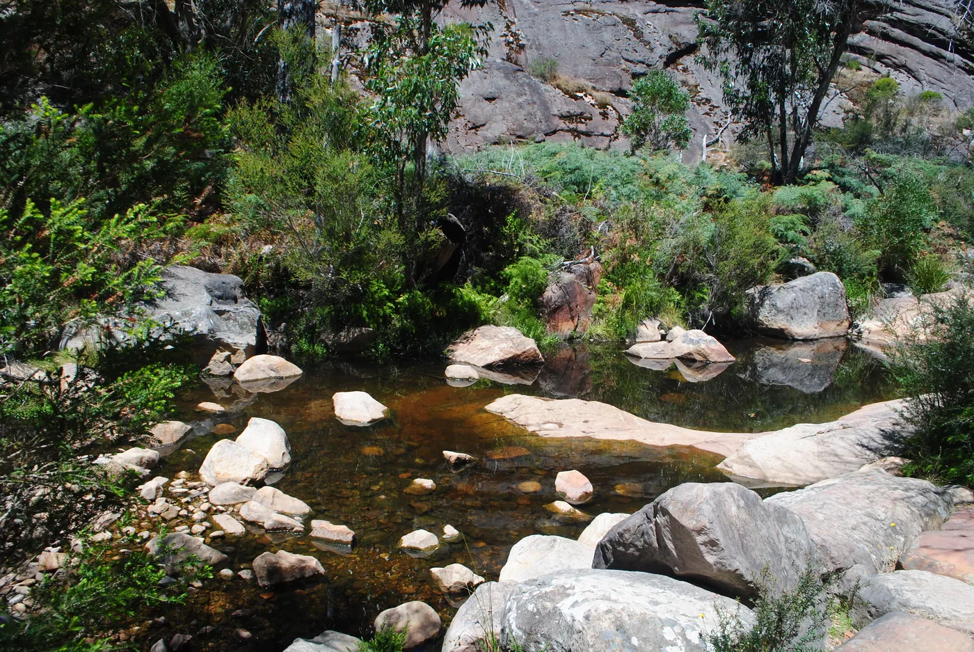
Venus Baths
Paddle in the rock pools at Venus Baths
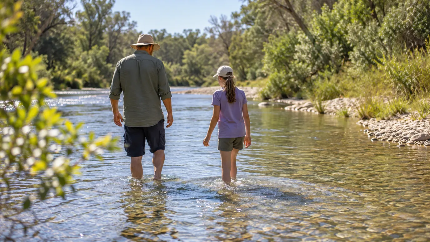
An easy, flat 2.3km track from the centre of Halls Gap follows Stony Creek to natural rock pools. On warm days, kids can splash around and cool off. Stairs from here climb on to Splitters Falls, which flows best in spring.
under 5 min
Swimming spot · Venus Baths
Photo: Alan & Flora Botting, CC BY-SA 2.0
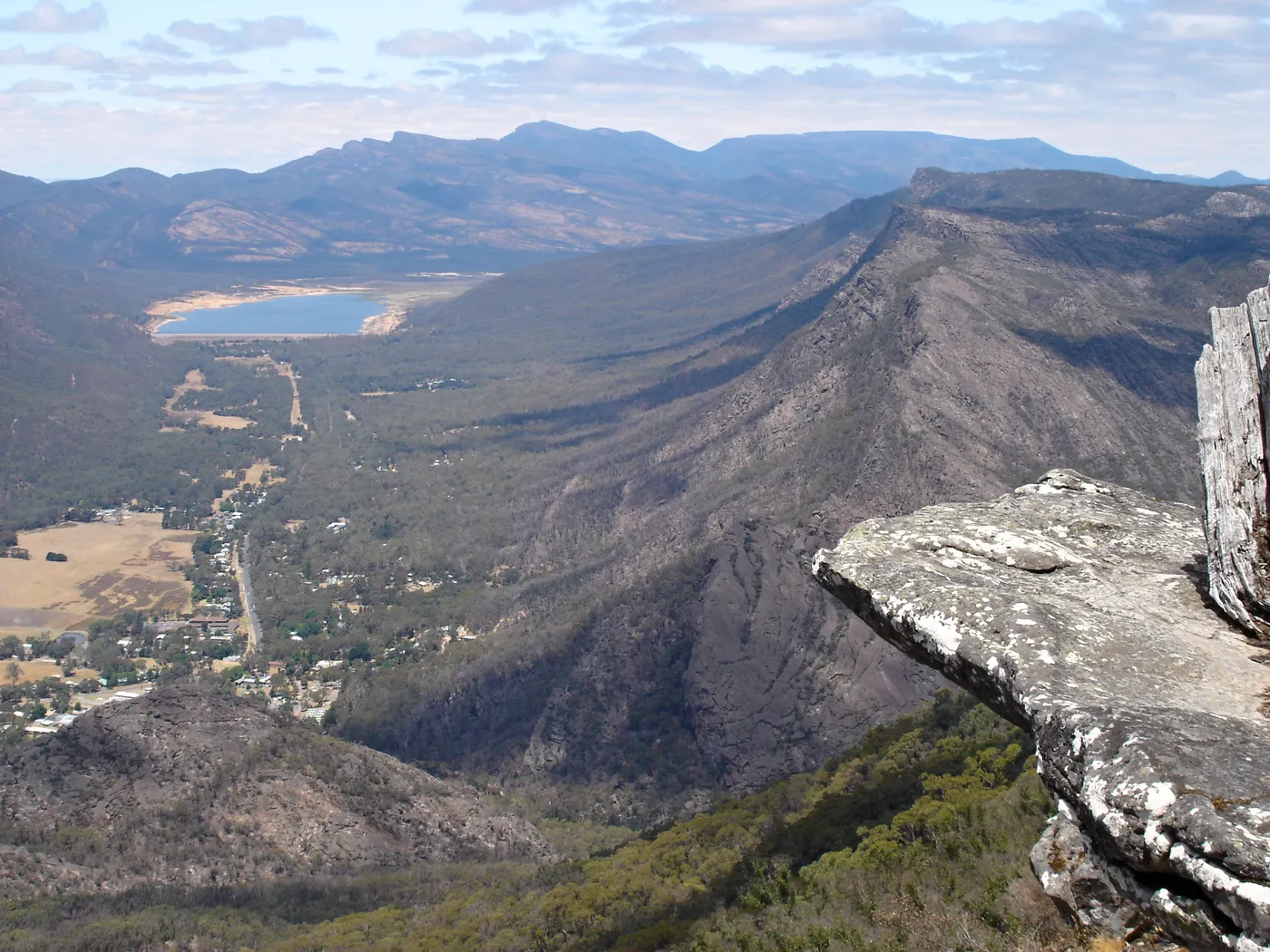
Boroka Lookout
Catch sunrise at Boroka Lookout
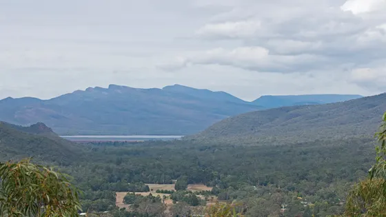
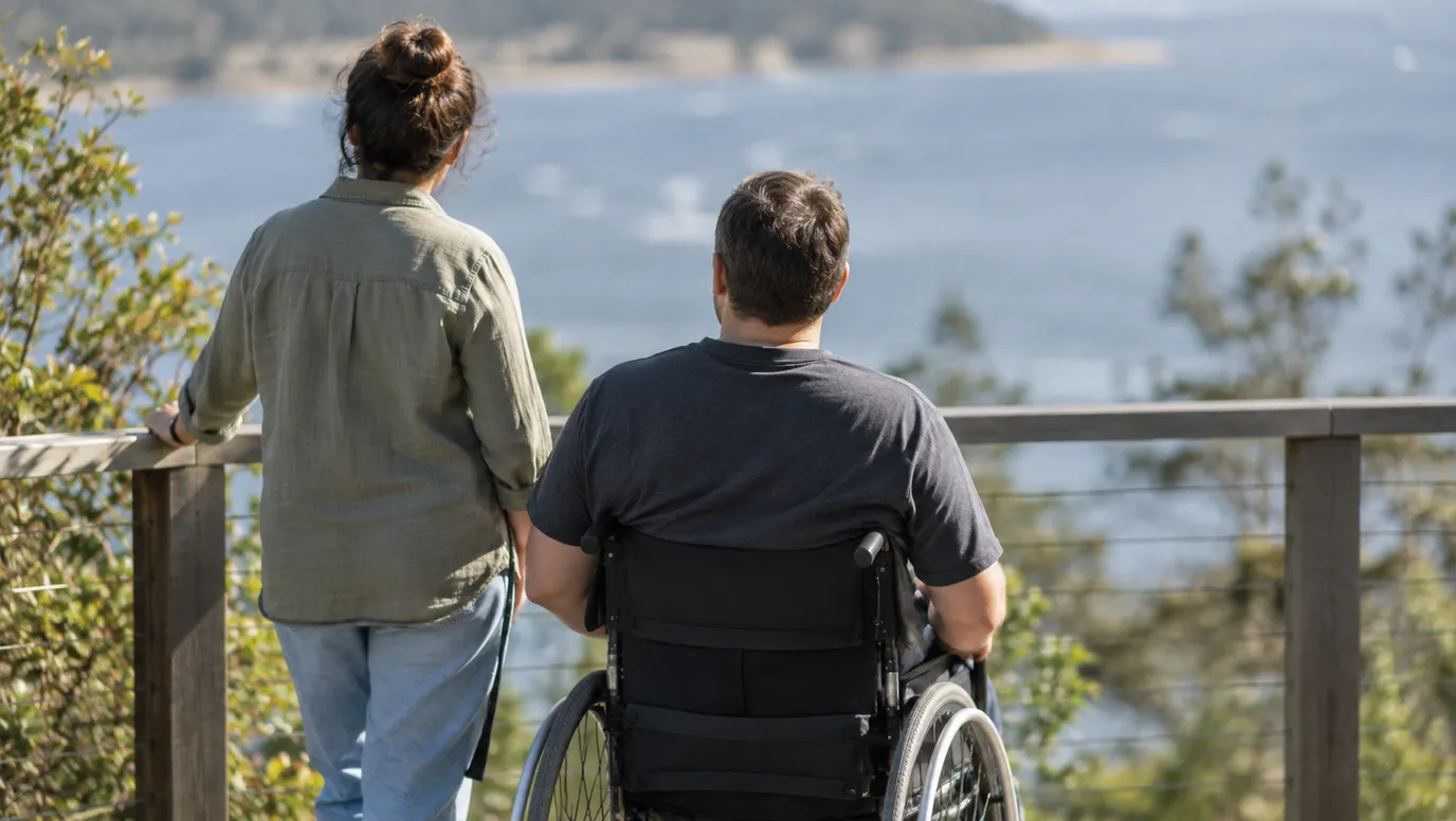
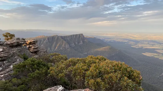
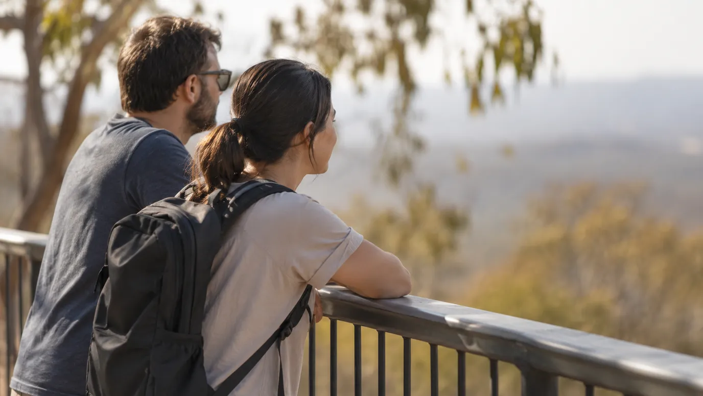
Boroka Lookout is about 15km from Halls Gap, and a five-minute stroll takes you to two viewing platforms. It suits people with limited mobility, and the view stretches over Halls Gap and Lake Bellfield. Sunrise here turns the ranges gold and crimson.
about 5 min
Lookout · Boroka Lookout
Photo: Pavel Špindler, CC BY 3.0
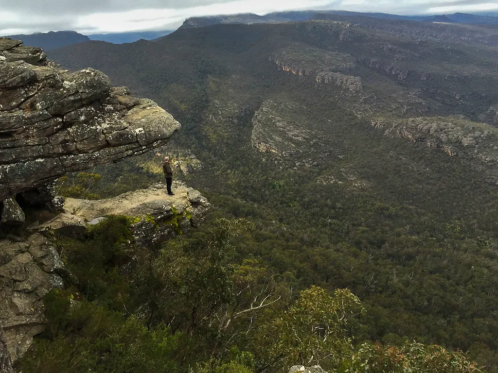
The Balconies
Look out from The Balconies
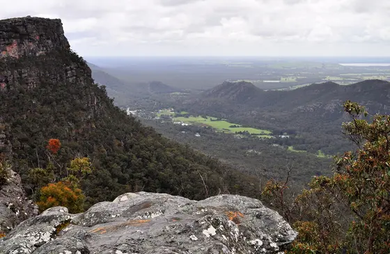
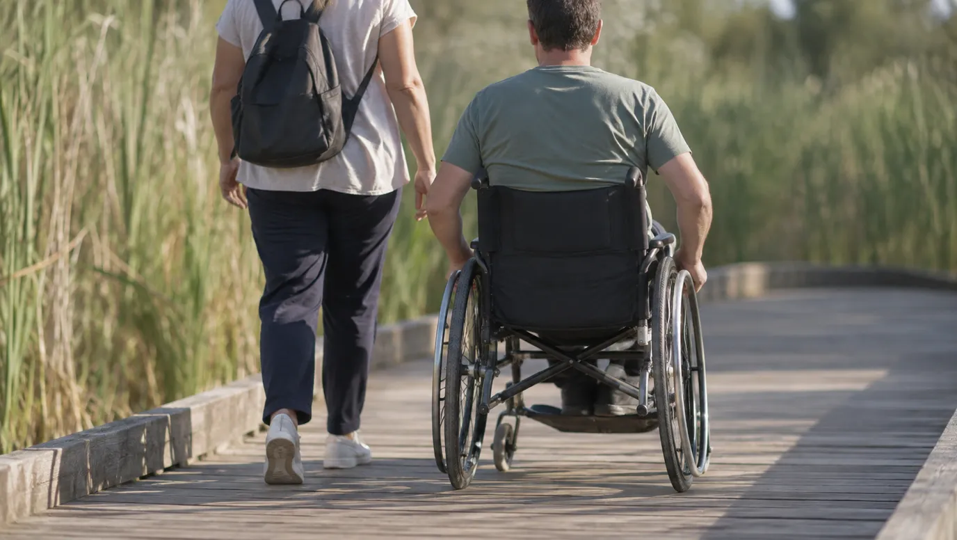
From the Reed Lookout car park, a fairly easy 2km walk leads to rock ledges over the Victoria Valley. Reed Lookout itself has a wheelchair-accessible path. Parks Victoria warns of unstable cliffs and slippery rocks, so hold little hands.
about 10 min
Walk · The Balconies
Photo: fveronesi1, CC BY-SA 2.0
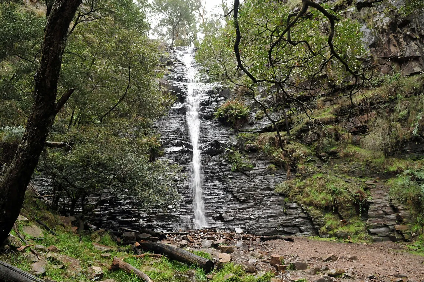
Silverband Falls
Stroll to Silverband Falls
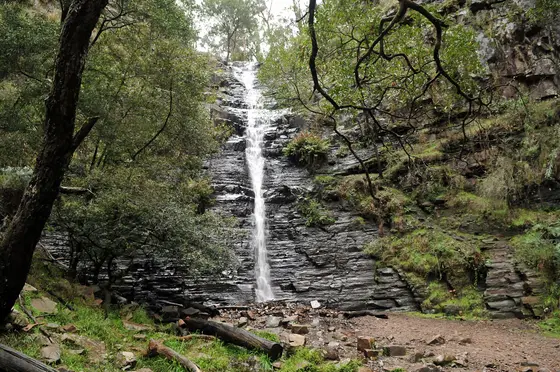
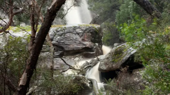
An easy stroll in the Wonderland Range follows a fern-lined trail to Silverband Falls. Look out for yellow robins, and wedge-tailed eagles circling above. Parks Victoria lists it among the sites still open while MacKenzie Falls is closed for works.
about 10 min
Waterfall · Silverband Falls
Photo: Mikeybear, CC BY-SA 3.0
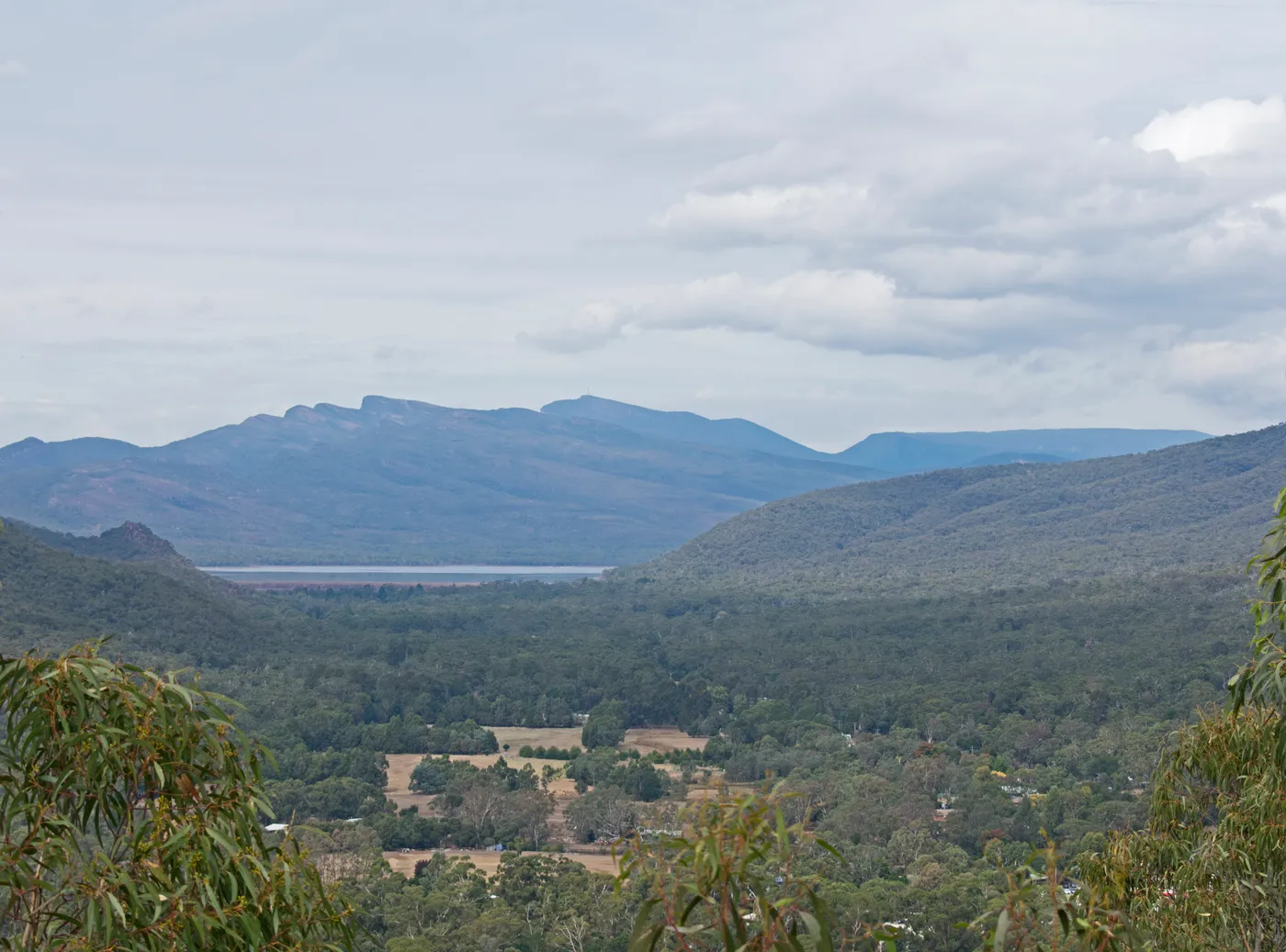
Lake Bellfield
Spend an afternoon at Lake Bellfield
Lake Bellfield is 5km from the Halls Gap shops, with the mountains reflected in the water. People swim, fish, picnic and boat here. It's the local water supply, so only electric motors are allowed.
about 10 min
Swimming spot · Lake Bellfield
Photo: Ymblanter, CC BY-SA 4.0
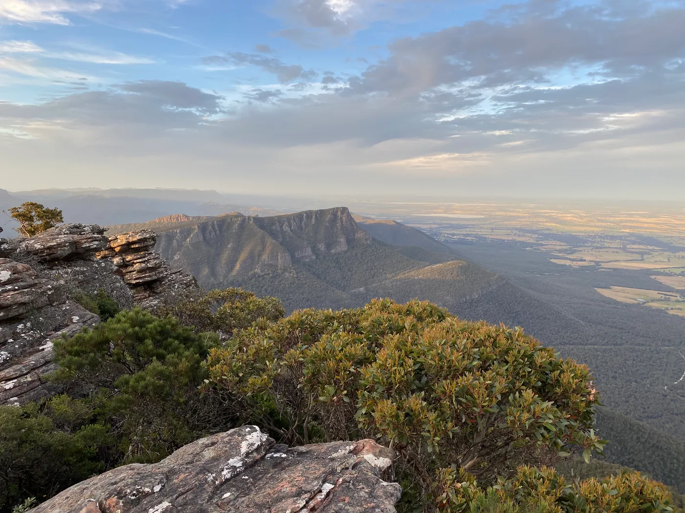
Mount William (Duwul)
Reach the top of the Grampians
At 1,167m, Mount William (Duwul) is the highest point in the Grampians. From the car park, a fairly fit walker takes about 45 minutes on the steep path to the summit. The reward is a 360-degree view of ranges and plains.
about 25 min
Lookout · Mount William (Duwul)
Photo: BennyG3255, CC BY-SA 4.0
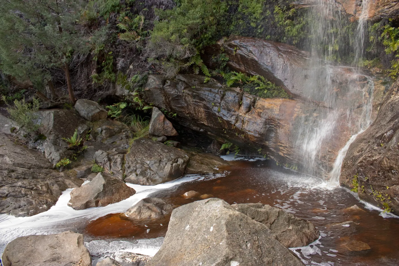
Beehive Falls
Find the honeycomb cliff at Beehive Falls
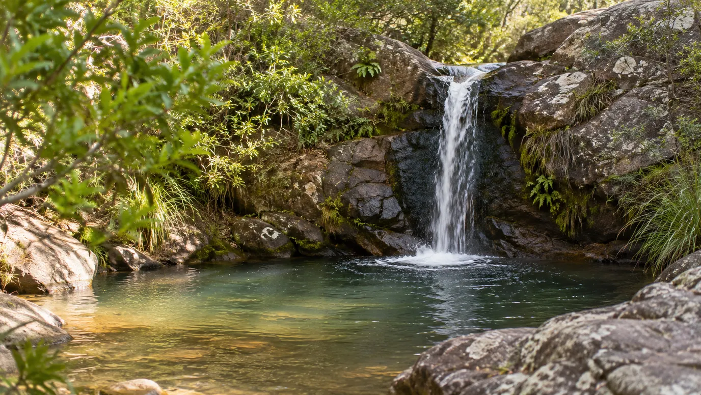
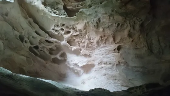
This easy walk in the northern Grampians leads to a sheltered rock amphitheatre. After rain, water spills over a honeycomb-textured cliff into a small pool. Spring brings wildflowers along the track.
about 25 min
Waterfall · Beehive Falls
Photo: Rexness from Melbourne, Australia, CC BY-SA 2.0
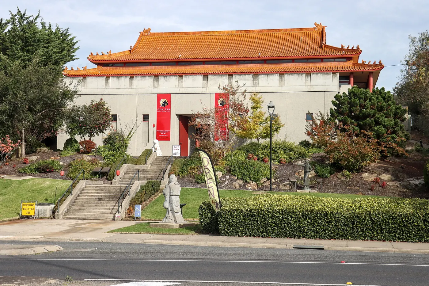
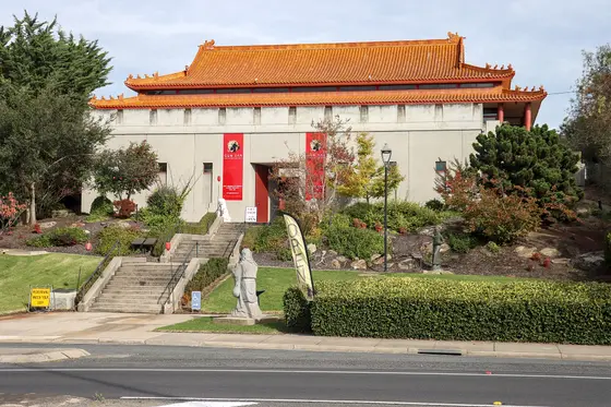
Gum San Chinese Heritage Museum, Ararat
Follow the gold seekers at Gum San
Ararat was founded by Chinese miners who arrived in the mid-1850s, and Gum San stands on the site of their gold find. Life-size scenes follow their sea voyage and long walk to the goldfields. It opens Thursday to Sunday and every day of the school holidays, 10am to 3pm; a family ticket is $35.
about 45 min
Museum · Gum San Chinese Heritage Museum
Photo: Philip Mallis, CC BY-SA 4.0
Can’t decide? Swipe through days out around Halls Gap
One card at a time. Keep the ones you like and they’re saved for later.
Start swiping →
Halls Gap Zoo
Halls Gap Zoo
The Pinnacle
The Pinnacle
Venus Baths
Venus Baths

Everything on the map

Nearest first, from Halls Gap

Waterfalls, lakes and swimming
Pool illustration
Pool
Halls Gap Swimming Pool
Halls Gap
under 5 min
Clematis Falls
Waterfall
Clematis Falls
under 5 min
Photo: 1geel0ng1, CC BY 4.0
Venus Baths
Swimming spot
Venus Baths
under 5 min
Photo: Alan & Flora Botting, CC BY-SA 2.0
Splitters Falls
Waterfall
Splitters Falls
Grampians (Gariwerd) National Park
Up the steps from Venus Baths on the Stony Creek path from Halls Gap; best in spring and may dry up in summer.
under 5 min
Photo: 1geel0ng1, CC BY 4.0
Waterfall illustration
Waterfall
Turret Falls
Grampians (Gariwerd) National Park
A short walk to a small terraced waterfall, best after rain. Parks Victoria lists it for spring wildflowers.
about 5 min
Silverband Falls
Waterfall
Silverband Falls
about 10 min
Photo: Mikeybear, CC BY-SA 3.0
Lake Bellfield
Swimming spot
Lake Bellfield
A swimming area with a gently sloping beach at Lake Bellfield Picnic Area, about 1 km past the dam wall. Boats are electric-motor only.
about 10 min
Photo: Ymblanter, CC BY-SA 4.0
Swimming spot illustration
Swimming spot
Lake Fyans
Sandy beaches with long shallows between Halls Gap and Stawell; also used for water skiing and sailing.
about 10 min
Lake illustration
Lake
Lake Wartook
Grampians (Gariwerd) National Park
A secluded lake for canoeing, fishing and picnics, about half an hour from Halls Gap.
about 15 min
Waterfall illustration
Waterfall
Fish Falls
4.6 km walk
A moderate 4.6 km return walk up the MacKenzie River from Zumsteins picnic area to a pool below the falls. Zumsteins parking is limited during the 2026 MacKenzie Falls works.
about 15 min
Lake Lonsdale
Swimming spot
Lake Lonsdale
A quiet foreshore north of Stawell with calm shallows for paddling, plus picnic spots and boat launches.
about 20 min
Photo: Ed Dunens, CC BY 2.0
Tilwinda Falls
Waterfall
Tilwinda Falls
about 25 min
Photo: Rexness, CC BY-SA 2.0
Waterfall illustration
Waterfall
The Lower Waterfalls of Gar
about 25 min
Beehive Falls
Waterfall
Beehive Falls
Grampians (Gariwerd) National Park
A gentle, family-friendly walk from Roses Gap to a sandstone amphitheatre; the falls flow best after rain.
about 25 min
Photo: Rexness from Melbourne, Australia, CC BY-SA 2.0
Waterfall illustration
Waterfall
Kalymna Falls
about 30 min
Over 30 minutes
from Halls Gap
Pool illustration
Pool
Stawell Aquatic Centre
Stawell
about 30 min
Pool illustration
Pool
Ararat Outdoor Pool
Ararat
about 45 min
Pool illustration
Pool
Ararat Recreation and Aquatic Centre
Ararat
about 45 min
Swimming spot illustration
Swimming spot
Green Hill Lake
Just east of Ararat: lawns, barbecues, playgrounds and pontoons by the water.
about 50 min
Lake Bolac
Swimming spot
Lake Bolac
Designated swimming beaches, picnic areas and barbecue shelters along a 20 km shoreline; the town also has an outdoor pool with a toddler pool.
about 1 hr 15
Photo: Mattinbgn, CC BY-SA 3.0
Over 1½ hours
from Halls Gap
Pool illustration
Pool
St. Arnaud Swimming Pool
St Arnaud
about 1 hr 30

Walks and lookouts

Boronia Peak
Lookout
Boronia Peak
under 5 min
Photo: Ymblanter, CC BY-SA 4.0
Walk illustration
Walk
Brambuk Wetland Loop
Grampians (Gariwerd) National Park
Self-guided walks through the Brambuk wetlands and native gardens, beside the park information centre just south of Halls Gap.
under 5 min
Lookout illustration
Lookout
Chatauqua Peak
Grampians (Gariwerd) National Park
A loop walk from the Halls Gap recreation oval to a rocky summit over the valley. It returns past Clematis Falls.
under 5 min
Walk illustration
Walk
Grand Canyon Loop
Grampians (Gariwerd) National Park
A short, strenuous scramble through a gorge under tall rock walls, then out onto rocky terraces where wallabies are often seen.
under 5 min
The Pinnacle
Walk
The Pinnacle
Grampians National Park
under 5 min
Photo: DXR, CC BY-SA 4.0
Boroka Lookout
Lookout
Boroka Lookout
Grampians (Gariwerd) National Park
An easy stroll through stringybark forest to two viewing platforms over Halls Gap and Lake Bellfield; good at sunrise. Open during the MacKenzie Falls works.
about 5 min
Photo: Pavel Špindler, CC BY 3.0
Lakeview Lookout
Lookout
Lakeview Lookout
about 5 min
Photo: WikiWookie, CC BY-SA 4.0
Lookout illustration
Lookout
Lake Bellfield Viewing Point
about 5 min
Lookout illustration
Lookout
Sundial Peak
Grampians (Gariwerd) National Park
A walk through heathy forest to a peak with views over Mount Rosea and Lake Bellfield. Wildflowers in spring.
about 5 min
Lookout illustration
Lookout
Gate of the East Wind
about 10 min
The Balconies
Walk
The Balconies
Grampians (Gariwerd) National Park
A gentle walk from the Reed Lookout car park to rock ledges over the Victoria Valley. The cliff edges are unfenced, so hold small hands.
about 10 min
Photo: fveronesi1, CC BY-SA 2.0
Reed Lookout
Lookout
Reed Lookout
Grampians (Gariwerd) National Park
Wheelchair-accessible path to a viewing platform over the Victoria Valley and Lake Wartook; a favourite at sunset.
about 10 min
Photo: Faj2323, CC BY-SA 4.0
Walk illustration
Walk
Zumsteins Picnic Area
Grampians (Gariwerd) National Park
A wheelchair-friendly boardwalk follows the MacKenzie River past 1930s cottage ruins. Electric barbecues, shelters and accessible toilets.
about 20 min
Mount William (Duwul)
Lookout
Mount William (Duwul)
3.5 km walk
Drive almost to the top, then take a steep 3.5 km return walk to the Grampians' highest peak (1,167 m) for 360-degree views.
about 25 min
Photo: BennyG3255, CC BY-SA 4.0
Walk illustration
Walk
Grampians Rail Trail
11 km walk
An 11 km, mostly flat fine-gravel trail from Stawell West through bushland towards Heatherlie Quarry, near Lake Lonsdale.
about 30 min
Over 30 minutes
from Halls Gap
Lookout illustration
Lookout
Big Hill Lookout
A drive-up lookout above Stawell with views west across to the Grampians.
about 30 min
Hollow Mountain (Wudjub-guyan)
Walk
Hollow Mountain (Wudjub-guyan)
2.2 km walk
A steep 2.2 km return climb with rock scrambling, past wind-carved caverns, to views over the Wimmera plains. For fit, sure-footed kids.
about 40 min
Photo: Binskip Inskip, CC BY-SA 4.0
Mount Zero (Mura Mura)
Walk
Mount Zero (Mura Mura)
2.8 km walk
A 2.8 km return climb from the Mt Zero picnic area, with a handrail on the steps near the top; views to Mt Stapylton and the Wimmera.
about 40 min
Photo: blachswan, CC BY 2.0
Lookout illustration
Lookout
One Tree Hill Lookout
A drive-up hilltop with 360-degree views from the Grampians to Mount Langi Ghiran. Picnic tables at the top.
about 40 min
Walk illustration
Walk
Langi Ghiran Reservoir Walk
2.6 km walk
A 2.6 km, 45-minute return walk from the picnic ground to an 1880 granite reservoir. Grassy picnic area with tables and wood barbecues.
about 1 hr
Lookout illustration
Lookout
Sugarloaf View
about 1 hr
Lookout illustration
Lookout
Mt Buangor Lookout
about 1 hr 15
Walk illustration
Walk
Upper Teddington Reservoir Walk
2.8 km walk
A flat 2.8 km walk around the reservoir, good for birdwatching. Toilets, picnic tables and fireplaces by the water.
about 1 hr 15

Gardens and science

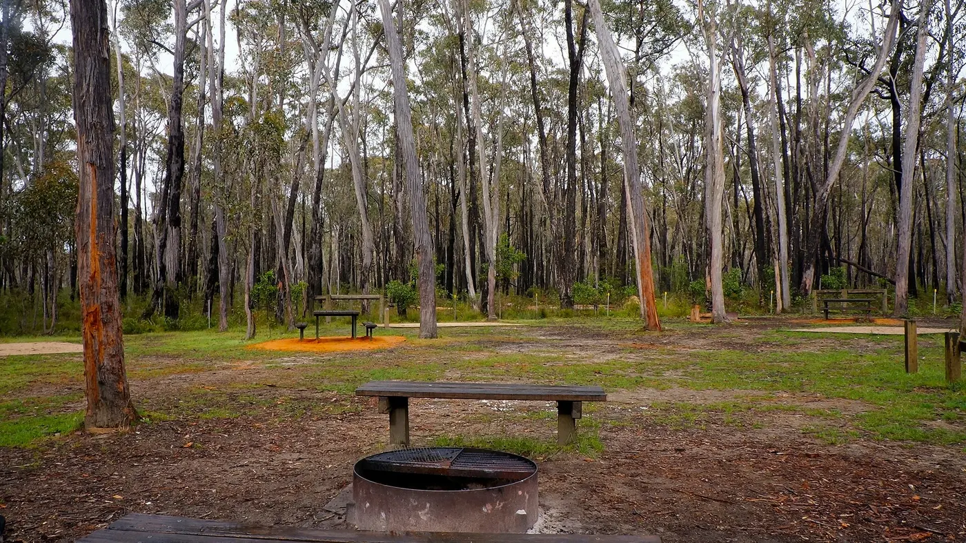
Camping in Grampians
Camping
Camping in the Grampians
Campgrounds and holiday parks, with powered sites, showers and what's near each one.
See the campgrounds →
Photo: wanderingchina, CC BY-SA 3.0, Wikimedia Commons
Drive times are estimated from the distance, so treat them as a guide. Tap a card for the full page.
Region boundary: ABS Tourism Regions 2021 (Tourism Research Australia), CC BY 4.0. Outings from OpenStreetMap contributors (ODbL) and venues' own listings; nature spots from OpenStreetMap and park services.