Things to do with kids in The Wimmera

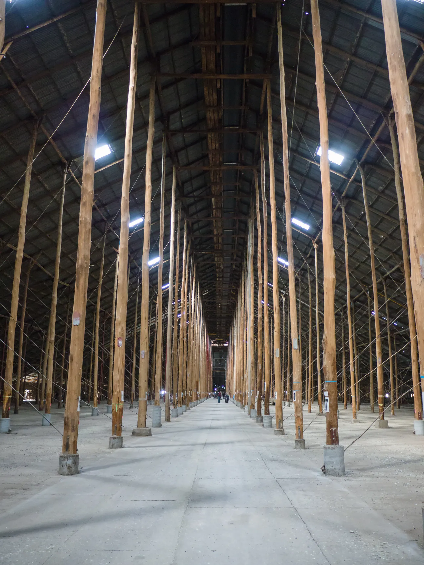
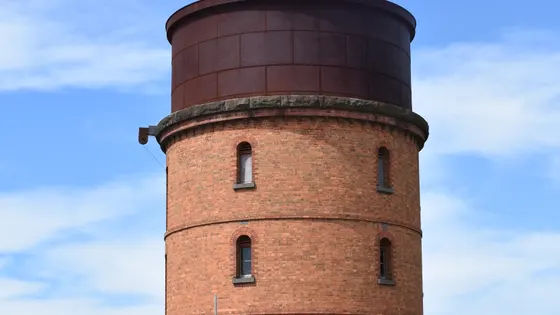
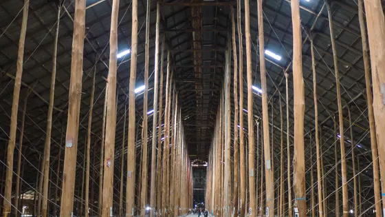
In Murtoa, the Stick Shed is a huge wartime wheat store held up by rows of tall timber poles, and kids are amazed by the size of it. Next door, the old railway water tower has four floors of displays, including hundreds of birds, eggs and nests.
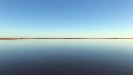
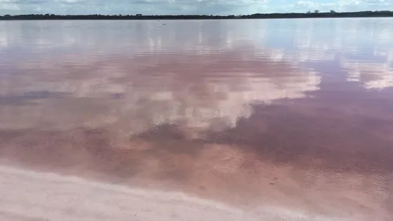
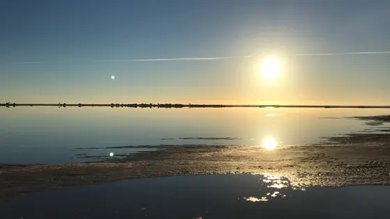
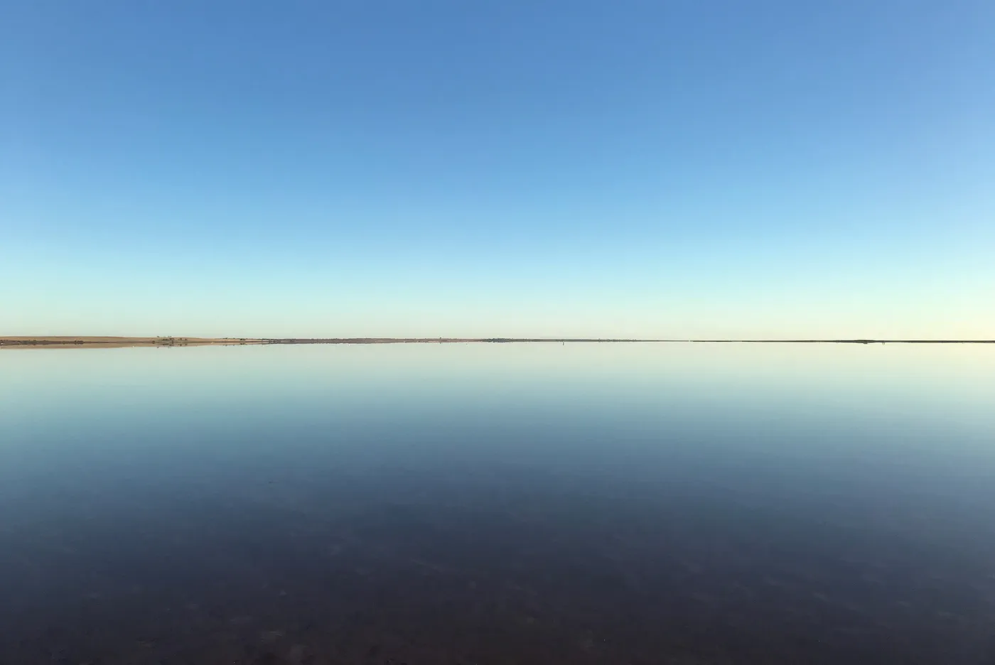
The Wimmera's lakes are worth the drive. Near Sea Lake, Lake Tyrrell is Victoria's largest salt lake, and on a still night the stars reflect in the water. In Hopetoun, Lake Lascelles has safe swimming areas and barbecues. Just off the highway near Dimboola, the Pink Lake is a quick stop to see the colour up close.
Kids can climb Mount Wycheproof, which is just 42 metres high and is billed as the world's smallest mountain. In Jeparit, the Pioneer Museum has an old school, blacksmith and gaol, and the Wimmera River trail is easy to ride in short sections.
64 family outings, waterfalls and walks across the region, sorted by drive time from Warracknabeal. Choose your suburb at the top to sort from where you are staying.

Top things to do in The Wimmera

The Stick Shed
Walk through the Stick Shed
Murtoa's Stick Shed was built during World War II to store wheat, and rows of tall timber poles hold up its 265m roof. It took just five months to build and is on the National Heritage List. It opens daily, 10am to 3pm; a family ticket is $24.
about 50 min
Heritage · The Stick Shed
Photo: Faj2323, CC BY-SA 4.0
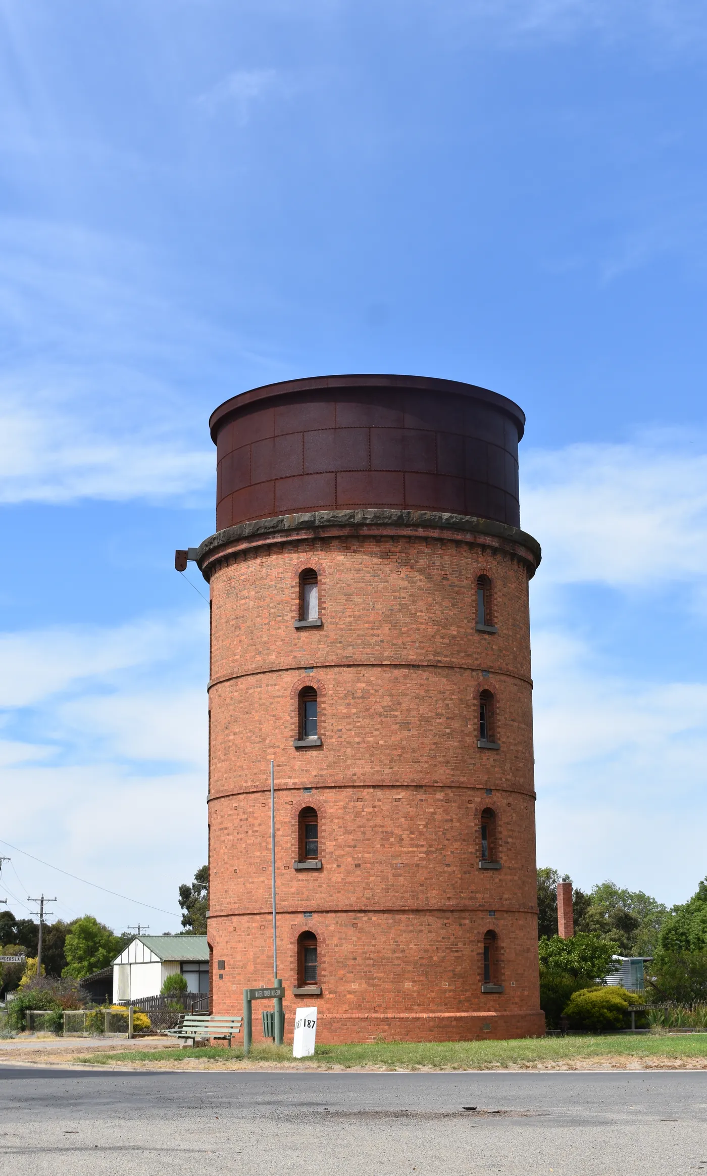
Murtoa Museum Complex
Climb Murtoa's old water tower
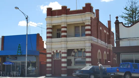
The 1886 railway water tower has four floors of displays, including James Hill's collection of more than 600 birds, eggs, nests and reptiles. The top floor shows the underside of the iron tank that once fed steam engines. Next door, the old station has a model of the 1960s railway yards.
about 50 min
Museum · Murtoa Museum Precinct
Photo: Mattinbgn (talk · contribs), CC BY 3.0
Lake Tyrrell Viewing Platform
Stargaze over Lake Tyrrell
Lake Tyrrell is Victoria's largest salt lake, 7km north of Sea Lake. Its dark skies are ideal for spotting the southern constellations, and the shallow water mirrors the sky. There's a viewing platform and information bay; drive only on the marked roads.
about 1 hr 45
Lookout · Lake Tyrrell Viewing Platform
Photo: Rueparadis, CC BY-SA 4.0
Mount Wycheproof
Conquer the 'world's smallest mountain'
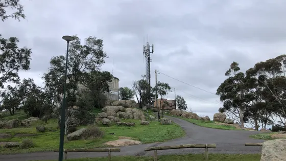
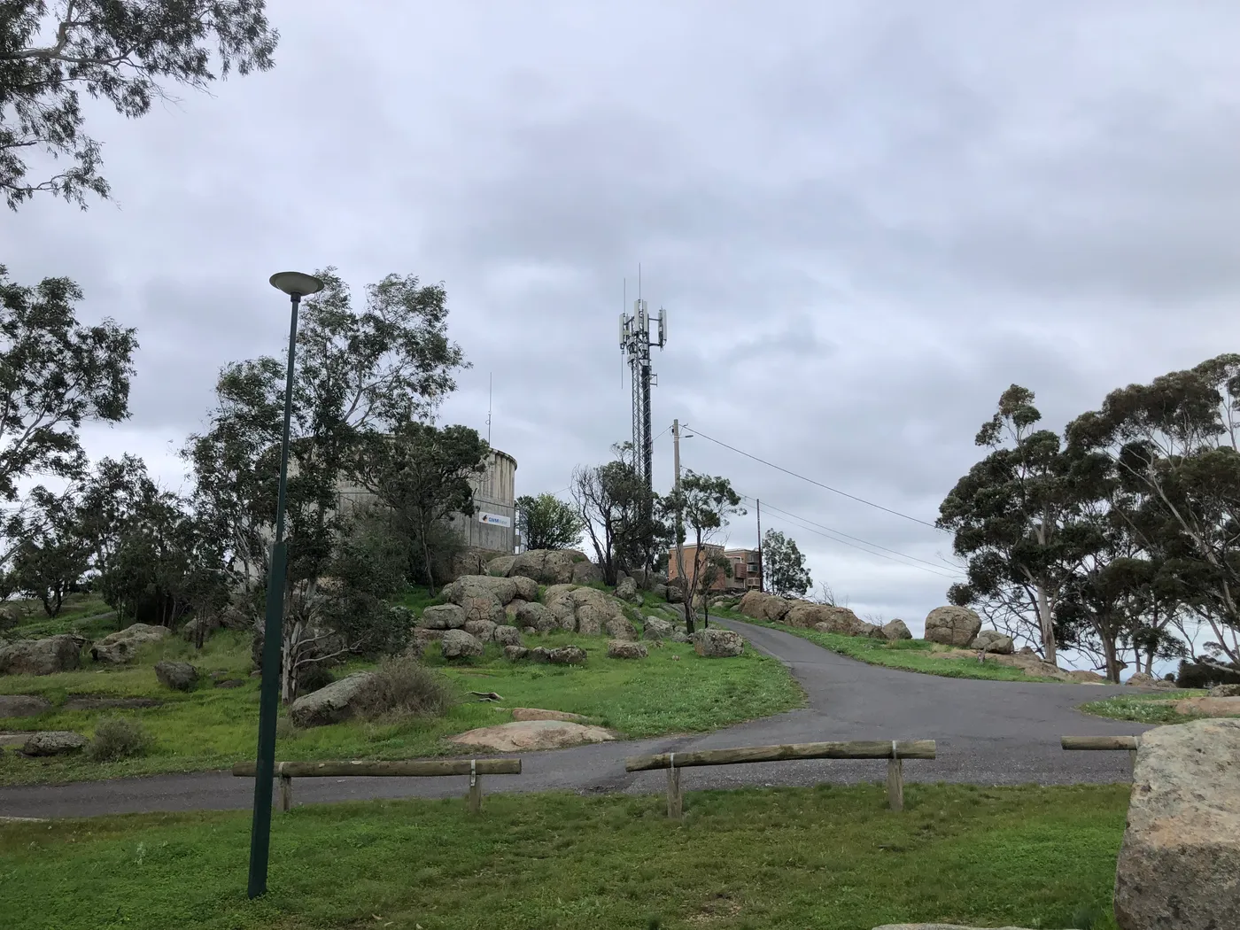
Mount Wycheproof rises just 42m above the flat farmland around Wycheproof. Kids can hike the trail to the top, or you can drive up to the summit picnic area. The view takes in the town and the farms below.
about 1 hr 30
Lookout · Mount Wycheproof
Photo: 1geel0ng1, CC BY 4.0
Lake Lascelles
Swim at Lake Lascelles
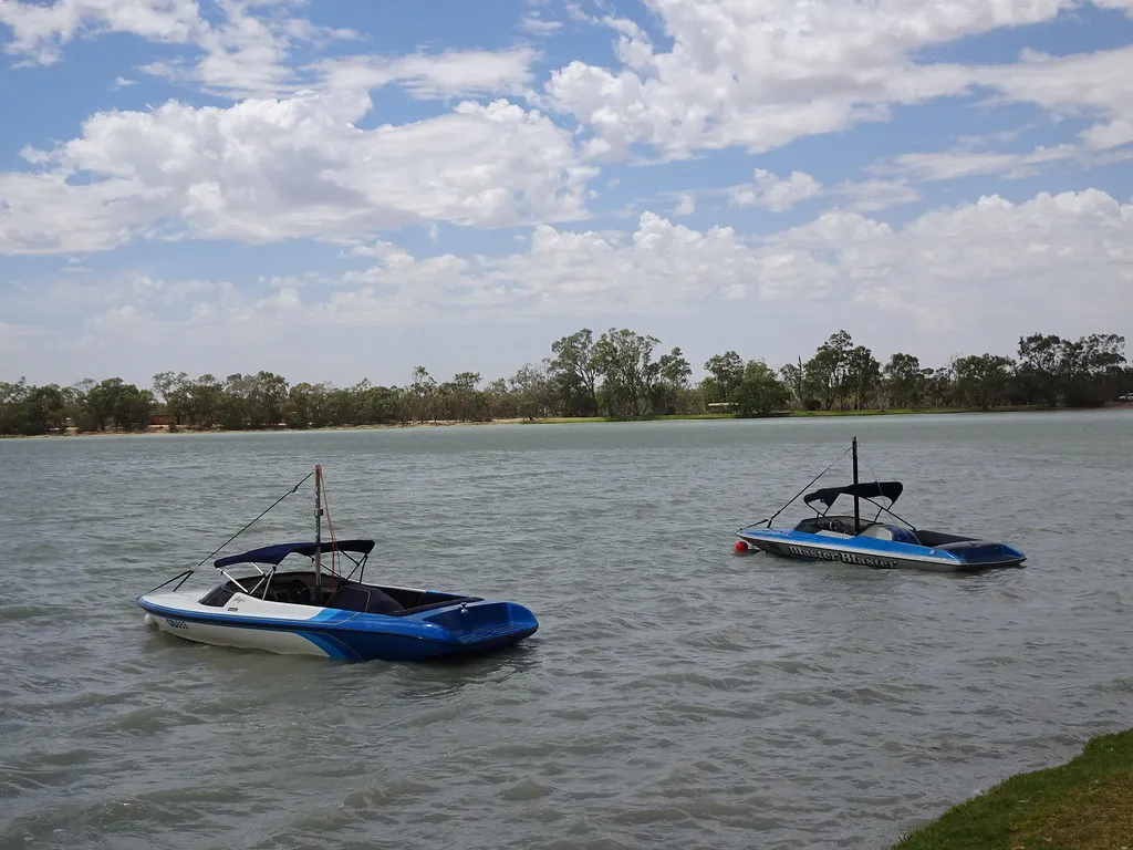
Lake Lascelles is 500m from Hopetoun and has reliable water, with safe swimming areas for families. There are barbecues, grassy picnic spots and artwork by local artists and school children. Trails around nearby Lake Coorong include a bird hide.
about 1 hr
Swimming spot · Lake Lascelles
Photo: mikecogh, CC BY-SA 2.0
Wimmera River Discovery Trail
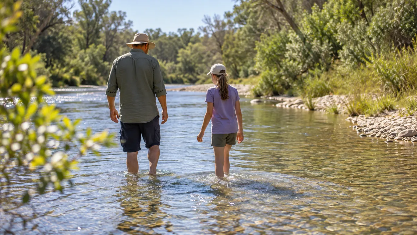
Ride a stretch of the Wimmera River trail
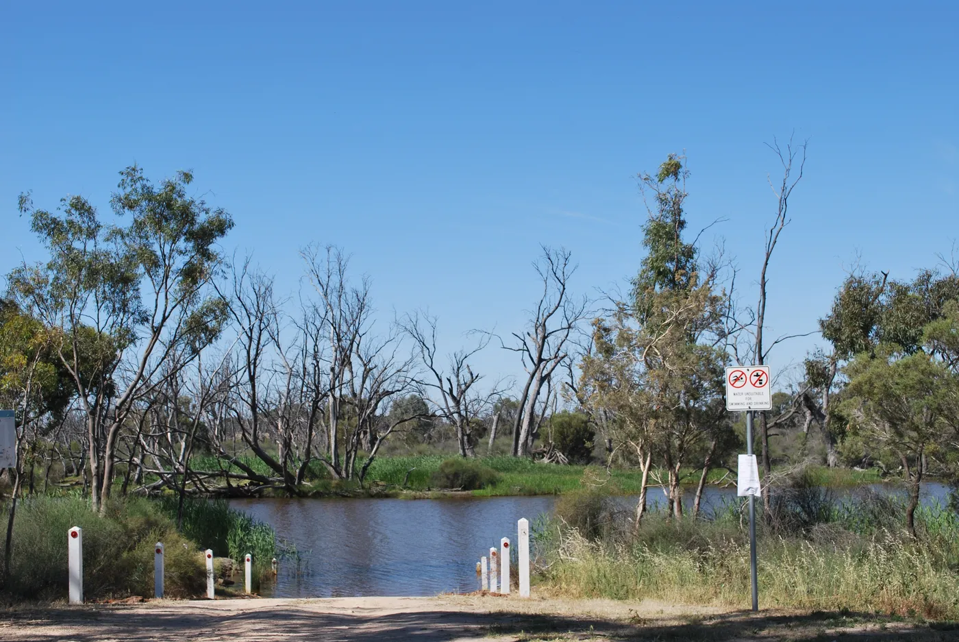
The Wimmera River Discovery Trail runs 56km between Dimboola and Jeparit. Plenty of road crossings make it easy to walk or cycle a short section. Mountain bikes suit the track best.
about 40 min
Walk · Wimmera River Discovery Trail
Photo: Mattinbgn, CC BY-SA 3.0
Pink Lake (Loch Iel)
Stop at the Pink Lake
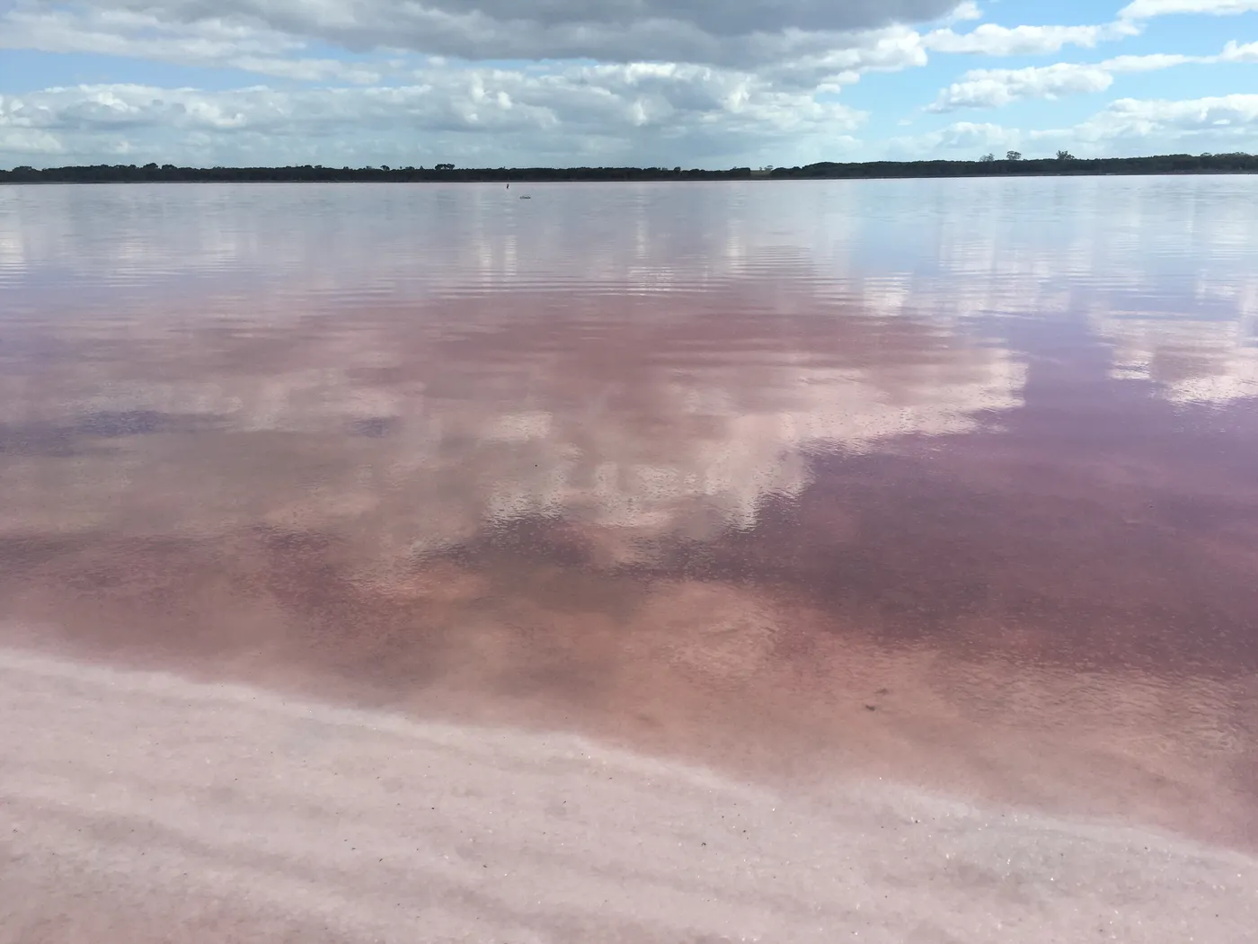
The Pink Lake (Loch Iel) is 6km north-west of Dimboola, beside the Western Highway. Its colour comes from a salt-tolerant alga living in the salt crust. Pull into the parking area and take the short walk down to the water's edge.
about 50 min
Lake · Pink Lake (Loch Iel)
Photo: Ruubensuits, CC BY-SA 4.0
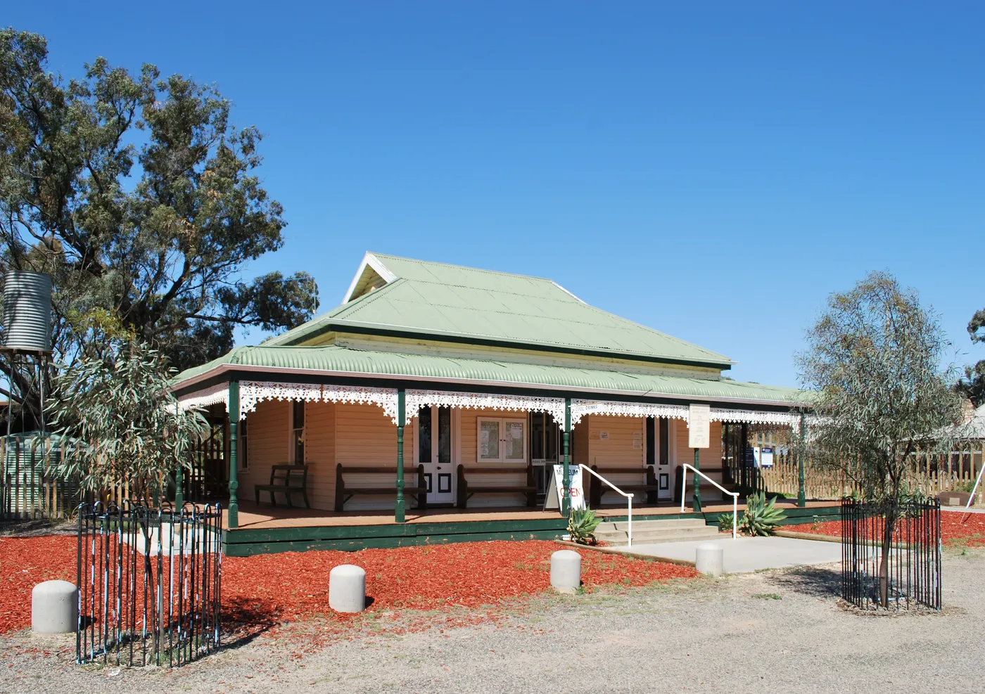
Wimmera-Mallee Pioneer Museum
Explore pioneer life in Jeparit
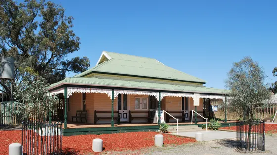
On the banks of the Wimmera River, this museum holds farm machinery, horse-drawn vehicles and pioneer homesteads. Kids can look into an old school, church, blacksmith's shop, chemist and gaol. It shows how families lived in the Wimmera Mallee in the early 1900s.
about 45 min
Museum · Wimmera-Mallee Pioneer Museum
Photo: Mattinbgn, CC BY-SA 3.0
Can’t decide? Swipe through days out around Warracknabeal
One card at a time. Keep the ones you like and they’re saved for later.
Start swiping →
The Stick Shed
The Stick Shed
Murtoa Museum Complex
Murtoa Museum Precinct
Lake Tyrrell Viewing Platform

Everything on the map

Nearest first, from Warracknabeal

Waterfalls, lakes and swimming
Swimming spot illustration
Swimming spot
Brim Weir Pool and Redda's Park
Council names the weir pool on Yarriambiack Creek for swimming and walking. Redda's Park on the shore has a playground and barbecue.
about 25 min
Over 30 minutes
from Warracknabeal
Pool illustration
Pool
Minyip Swimming Pool
Minyip
about 35 min
Pool illustration
Pool
Dimboola Swimming Pool
Dimboola
about 45 min
Pink Lake (Loch Iel)
Lake
Pink Lake (Loch Iel)
Loch Iel (Pink Lake) Lake Reserve
Pinkest after rain and can fade to white in a dry summer; short walk from the Western Highway rest area.
about 50 min
Photo: Ruubensuits, CC BY-SA 4.0
Swimming spot illustration
Swimming spot
Horseshoe Bend, Little Desert National Park
Little Desert National Park
Wimmera River spot for swimming, fishing and canoeing 4 km south of Dimboola; reopened after the 2025 fire. River hazards apply.
about 50 min
Pool illustration
Pool
Watchem Swimming Pool
Watchem
about 50 min
Lake illustration
Lake
Lake Hindmarsh
Lake Hindmarsh Lake Reserve
Victoria's largest natural freshwater lake when full, but often dry; Four Mile Beach near Jeparit has toilets, showers and a camp kitchen.
about 55 min
Swimming spot illustration
Swimming spot
Rainbow Lake
Man-made swimming lake 2 km south of Rainbow, opened 2022, with toilets and a BBQ area.
about 60 min
Pool illustration
Pool
Rainbow Pool
Rainbow
about 1 hr
Pool illustration
Pool
Donald Swimming Pool
Donald
about 1 hr
Lake Lascelles
Swimming spot
Lake Lascelles
Lake Lascelles - Lake Coorong Reserve
Permanent lake 500 m from Hopetoun with safe swimming areas, barbecues and walking trails.
about 1 hr
Photo: mikecogh, CC BY-SA 2.0
Swimming spot illustration
Swimming spot
Tchum Lake, Birchip
Lake 8 km east of Birchip used for swimming, boating, fishing and walking tracks. Camping and a cabin can be booked.
about 1 hr 15
Lake illustration
Lake
Cronomby Tanks, Woomelang
Old railway water tanks turned into a small reserve. Walking tracks, iron artwork, mini silo art, fishing, toilets and free camping.
about 1 hr 15
Lake illustration
Lake
Lake Albacutya
Lake Albacutya Park
Ramsar-listed lake 12 km north of Rainbow, dry since the 1990s. Good for camping, walks, bird watching, wildflowers and stargazing.
about 1 hr 15
Lake illustration
Lake
Nhill Lake
Permanent water for swimming and fishing; boardwalk and bird hide from Jaypex Park, which has a playground.
about 1 hr 15
Pool illustration
Pool
Woomelang Recreation Reserve Swimming Pool
Woomelang
about 1 hr 15
Swimming spot illustration
Swimming spot
Wooroonook Lakes, Charlton
Lakes 13 km west of Charlton used for swimming, fishing and boating. A playground, barbecue, pontoon and amenities block.
about 1 hr 15
Over 1½ hours
from Warracknabeal
Pool illustration
Pool
Sea Lake Swimming Pool
Sea Lake
about 1 hr 45

Walks and lookouts

Walk illustration
Walk
Yarriambiack Creek Walking Track, Warracknabeal
6.8 km walk
Follows both sides of the creek for a 4 to 6.8 km stroll. The Lions fauna park and picnic area sits on the way.
under 5 min
Over 30 minutes
from Warracknabeal

Walk illustration
Walk
Minyip Bushland Reserve walks
2 km walk
Two tracks of 700 m and 2 km, with native plants labelled along the way. A popular spot for bird watching.
about 35 min
Wimmera River Discovery Trail
Walk
Wimmera River Discovery Trail
56 km walk
56 km Dimboola-Jeparit trail for walking or cycling; easy to do a short section from a road crossing.
about 40 min
Photo: Mattinbgn, CC BY-SA 3.0
Walk illustration
Walk
Edward John Eyre Heritage River Walk, Jeparit
7 km walk
A 7 km return walk along the Wimmera River from the Pioneer Museum. Seats along the way and a riverside barbecue area halfway.
about 45 min
Walk illustration
Walk
Nine Creeks Reserve walks, Dimboola
1.5 km walk
Easy 1.5 km Common loop beside the Wimmera River, with a 1.1 km side walk to Dimboola Weir. Seats along the way.
about 45 min
Walk illustration
Walk
Lake Marma walk, Murtoa
1.7 km walk
A 1.7 km track circles Lake Marma, or 3 km taking in Rabl Park. Electric barbecues, playgrounds and a skate park nearby.
about 50 min
Walk illustration
Walk
Pomponderoo Hill nature walk
Little Desert National Park
about 50 min
Lookout illustration
Lookout
Bullocks Head Lookout
about 1 hr
Walk illustration
Walk
Keith Hately Nature Walk
Little Desert National Park
30-minute self-guided walk from the Sanctuary Picnic Ground, 10 km south of Kiata; look for malleefowl. Open (outside the 2025 fire area).
about 1 hr 15
Lookout illustration
Lookout
Hermans Hill Lookout
3.1 km walk
3.1 km nature walk to views over Lake Hindmarsh and the Big Desert; no toilets, carry water, watch for snakes.
about 1 hr 15
Lookout illustration
Lookout
Eastern Lookout, Wyperfeld National Park
Wyperfeld National Park
Views over the mallee; look for kangaroos and emus, best at sunrise or sunset.
about 1 hr 30
Mount Wycheproof
Lookout
Mount Wycheproof
"World's smallest mountain", 42 m high, with a walking trail and a road to the summit picnic area.
about 1 hr 30
Photo: 1geel0ng1, CC BY 4.0
Walk illustration
Walk
Discovery Walk, Wyperfeld National Park
4 km walk
A 4 km sandy nature walk with 38 information stops, starting behind the eastern toilet block at Wonga Campground. Allow about two hours.
about 1 hr 30
Over 1½ hours
from Warracknabeal
Walk illustration
Walk
Tyakil Nature Walk, Wyperfeld National Park
Wyperfeld National Park
Starts from the Black Flat picnic area.
about 1 hr 30
Lake Tyrrell Viewing Platform
Lookout
Lake Tyrrell Viewing Platform
about 1 hr 45
Photo: Rueparadis, CC BY-SA 4.0
Sky Lounge
Lookout
Sky Lounge
about 1 hr 45
Photo: Rueparadis, CC BY-SA 4.0

Play

Over 30 minutes
from Warracknabeal
Arcade illustration
Arcade
Australian Pinball Museum
Nhill
about 1 hr 15
Camping in Wimmera
Camping
Camping in the Wimmera
Campgrounds and holiday parks, with powered sites, showers and what's near each one.
See the campgrounds →
Photo: Mattinbgn (talk · contribs), CC BY 3.0, Wikimedia Commons
Drive times are estimated from the distance, so treat them as a guide. Tap a card for the full page.
Region boundary: ABS Tourism Regions 2021 (Tourism Research Australia), CC BY 4.0. Outings from OpenStreetMap contributors (ODbL) and venues' own listings; nature spots from OpenStreetMap and park services.