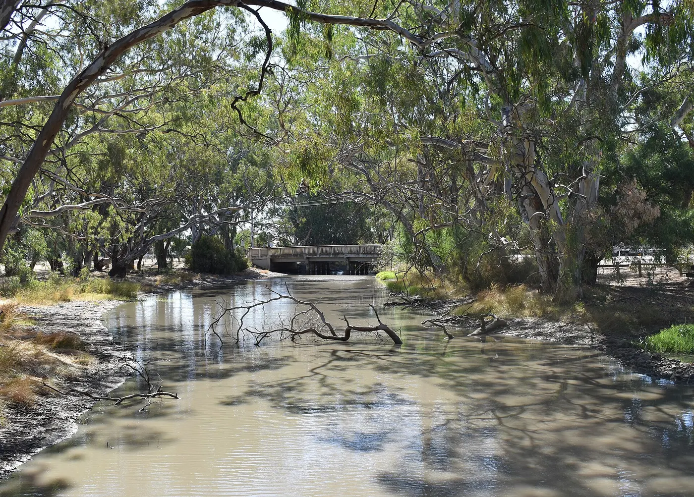
Camping in the Wimmera
21 campgrounds · 4 with powered sites · 3 with showers · 3 with a dump point · 5 with tent sites
The Wimmera is flat wheat and sheep country in western Victoria, big skies and small towns, and its bush camping is in two big desert parks and along the Wimmera River. The river rises in the Pyrenees Ranges and flows north past the Grampians towards Lake Hindmarsh, though many local streams only run after heavy rain.
Where is the best place to camp in the Wimmera?
On the river near Dimboola, Little Desert National Park has camps among the river red gums, such as Horseshoe Bend. Up north, Wyperfeld National Park's Wonga Camping Area has 60 unpowered sites for tents and caravans, and Lake Albacutya has lakeside camps. For showers and power, Green Lake near Sea Lake has a dump point too, and the town parks at Warracknabeal, Nhill, Jeparit, Rainbow and Donald make easy bases.
What is there to do in the Wimmera with kids?
In Jeparit, the Wimmera-Mallee Pioneer Museum is near the caravan park, in Nhill, Wagonin is in town, and in Warracknabeal, the Wheatlands Agricultural Machinery Museum is in town. On a hot day there are town pools at Rainbow, Sea Lake and Donald.
Tap a card for the full page. Every outing is on the map below too. Distances are in a straight line, so the drive is a little longer.
What are the best walks in the Little Desert and Wyperfeld?
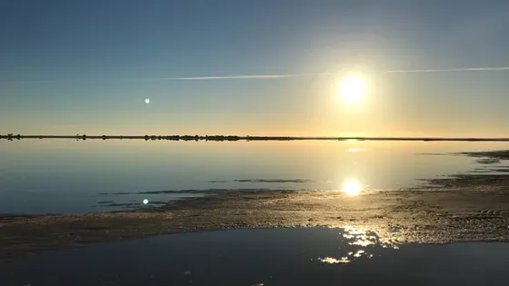
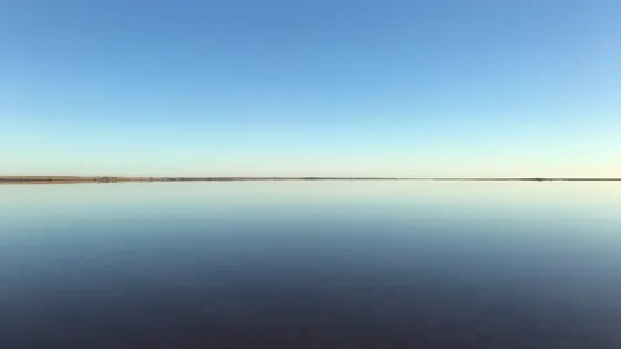
Wyperfeld is built around a chain of dry lake beds joined by Outlet Creek; the Eastern Lookout is the place for sunrise and sunset, and the Tyakil Nature Walk starts near Black Flat. In Little Desert, marked walks run from 30 minutes to three days, including the Pomponderoo Hill nature walk. Near Sea Lake, a viewing platform looks over Lake Tyrrell.
Do you need to book campsites in the Wimmera?
Little Desert and Wyperfeld camps are booked through Parks Victoria. Wyperfeld is semi-arid, so be self-sufficient and bring your own drinking water. Little Desert was badly burnt in January 2025, so check Parks Victoria's alerts for which parts are open before you go.
Are there powered sites in the Wimmera?
Yes. 4 campgrounds here have powered sites confirmed, including Green Lake, Warracknabeal Caravan Park and Nhill Caravan Park. For the rest we are still confirming, so check with the park or holiday park before you book a powered site.
How far is Wyperfeld from Melbourne?
Wyperfeld National Park is about 450 km from Melbourne, reached via Rainbow, Patchewollock, Hopetoun or Underbool, with vehicle requirements varying by route.
Facts from Wikipedia, "Wimmera" (CC BY-SA 4.0), Parks Victoria, "Wyperfeld National Park" and Parks Victoria, "Little Desert National Park".
Warracknabeal Caravan Park · Photo: Mattinbgn (talk · contribs), CC BY 3.0, via Wikimedia Commons
Map of campgrounds in the Wimmera
✓ Campgrounds
✓ Things to do
✓ Walks and nature
More around VIC
Camping in Ballarat →
Camping in Bendigo Loddon →
Camping in the Central Murray →
Camping in Geelong and the Bellarine →
Camping in Gippsland →
Camping in Goulburn →
Camping in the Grampians →
Camping in the Great Ocean Road →
Camping in the High Country →
Camping in the Lakes →
Camping in Macedon →
Camping in the Mallee →
21 campgrounds
Those with the most confirmed facilities first. A missing facility means nobody has confirmed it, not that it is absent.
Campground · Banyan, VIC
Green Lake
Powered sites · Tent sites · Caravan and RV sites · Showers · Toilets · Dump point · Drinking water
Green Lake is a campground in Banyan, VIC. OpenStreetMap records 7 facilities. Check availability and current conditions before you travel.
Campground · Warracknabeal, VIC
Warracknabeal Caravan Park
Powered sites · Tent sites · Caravan and RV sites · Showers · Toilets · Dump point · Laundry
Warracknabeal Caravan Park is a campground in Warracknabeal, VIC. OpenStreetMap records 7 facilities. Check availability and current conditions before you travel.
Campground · Nhill, VIC
Nhill Caravan Park
Powered sites · Tent sites · Caravan and RV sites · Dump point · Camp kitchen · Laundry
Nhill Caravan Park is a campground in Nhill, VIC. OpenStreetMap records 6 facilities. Check availability and current conditions before you travel.
Campground · Jeparit, VIC
Four Mile Beach Campsite
Tent sites · Caravan and RV sites · Showers · Toilets
Four Mile Beach Campsite is a campground in Jeparit, VIC. OpenStreetMap records 4 facilities. Check availability and current conditions before you travel.
Campground · Dimboola, VIC
Horseshoe Bend
Tent sites · Caravan and RV sites · Toilets
Horseshoe Bend is a campground in Dimboola, VIC. OpenStreetMap records 3 facilities. Check availability and current conditions before you travel.
Campground · Serviceton, VIC
State Border Rest Area
Toilets · Barbecues
State Border Rest Area is a campground in Serviceton, VIC. OpenStreetMap records 3 facilities. Check availability and current conditions before you travel.
Campground · Woomelang, VIC
Woomelang Caravan Park
Powered sites
Woomelang Caravan Park is a caravan park in Woomelang, VIC. OpenStreetMap records 1 facility. Check availability and current conditions before you travel.
Campground · Dimboola, VIC
Ackle Bend
No facilities confirmed yet.
Ackle Bend is a campground in Dimboola, VIC. Its facilities have not been confirmed. Check availability and current conditions before you travel.
Campground · Albacutya, VIC
Camping Grounds, Designated Sites, Yaapeet Beach - Lake Albacutya Park
No facilities confirmed yet.
Camping Grounds, Designated Sites, Yaapeet Beach - Lake Albacutya Park is a campground in Lake Albacutya Park near Albacutya, VIC, listed by Parks Victoria (2016 listing). Check availability and current conditions before you travel.
Campground · Kaniva, VIC
Campsites
No facilities confirmed yet.
Campsites is a campground in Little Desert National Park near Kaniva, VIC, listed by Parks Victoria (2016 listing). Check availability and current conditions before you travel.
Campground · Patchewollock, VIC
Designated Site, Remote Campground
No facilities confirmed yet.
Designated Site, Remote Campground is a campground in Wyperfeld National Park near Patchewollock, VIC, listed by Parks Victoria (2016 listing). Check availability and current conditions before you travel.
Campground · Albacutya, VIC
Designated Sites, OTIT Camping area in Lake Albacutya Park
No facilities confirmed yet.
Designated Sites, OTIT Camping area in Lake Albacutya Park is a campground in Lake Albacutya Park near Albacutya, VIC, listed by Parks Victoria (2016 listing). Check availability and current conditions before you travel.
Campground · Rainbow, VIC
Designated Sites, Western Beach
No facilities confirmed yet.
Designated Sites, Western Beach is a campground in Lake Albacutya Park near Rainbow, VIC, listed by Parks Victoria (2016 listing). Check availability and current conditions before you travel.
Campground · Yaapeet, VIC
Designated Sites, Wonga Camping area
No facilities confirmed yet.
Designated Sites, Wonga Camping area is a campground in Wyperfeld National Park near Yaapeet, VIC, listed by Parks Victoria (2016 listing). Check availability and current conditions before you travel.
Campground · Donald, VIC
Donald Lakeside Caravan Park
No facilities confirmed yet.
Donald Lakeside Caravan Park is a caravan park in Donald, VIC. Its facilities have not been confirmed. Check availability and current conditions before you travel.
Campground · Jeparit, VIC
Jeparit Caravan Park
No facilities confirmed yet.
Jeparit Caravan Park is a caravan park in Jeparit, VIC. Its facilities have not been confirmed. Check availability and current conditions before you travel.
Campground · Kaniva, VIC
Kaniva Caravan Park
No facilities confirmed yet.
Kaniva Caravan Park is a caravan park in Kaniva, VIC. Its facilities have not been confirmed. Check availability and current conditions before you travel.
Campground · Little Desert, VIC
Kiata Campground
No facilities confirmed yet.
Kiata Campground is a campground near Little Desert, VIC. OpenStreetMap records 0 facilities. Check availability and current conditions before you travel.
Campground · Lascelles, VIC
Lascelles campground
No facilities confirmed yet.
Lascelles campground is a campground in Lascelles, VIC. Its facilities have not been confirmed. Check availability and current conditions before you travel.
Campground · Rainbow, VIC
Rainbow Caravan Park
No facilities confirmed yet.
Rainbow Caravan Park is a campground in Rainbow, VIC. Its facilities have not been confirmed. Check availability and current conditions before you travel.
Campground · Sea Lake, VIC
Sea Lake Caravan Park
No facilities confirmed yet.
Sea Lake Caravan Park is a caravan park in Sea Lake, VIC. Its facilities have not been confirmed. Check availability and current conditions before you travel.
Other regions in Victoria
Region boundary: ABS ASGS Edition 3 Tourism Regions 2021 (Tourism Research Australia), CC BY 4.0. Campgrounds and facilities from OpenStreetMap contributors (ODbL), the operators’ own listings, and the state park services’ open data: © State Government of NSW and NSW Department of Climate Change, Energy, the Environment and Water 2017 (CC BY 4.0); contains data sourced from the Department of Energy, Environment and Climate Action, Victoria (CC BY 4.0); © State of Tasmania, Parks and Wildlife Service (CC BY 3.0 AU); Main Roads Western Australia road stopping places (CC BY 4.0).