Camping in Macedon
16 campgrounds · 1 with powered sites · 3 with tent sites
The Macedon Ranges are about an hour from Melbourne, which makes them a region for a short weekend: a climb up Hanging Rock, a walk to a waterfall, and a night in a bush camp. Mount Macedon's highest point, Camel's Hump, reaches 1,011 metres and often gets snow in winter.
Where is the best place to camp in Macedon?
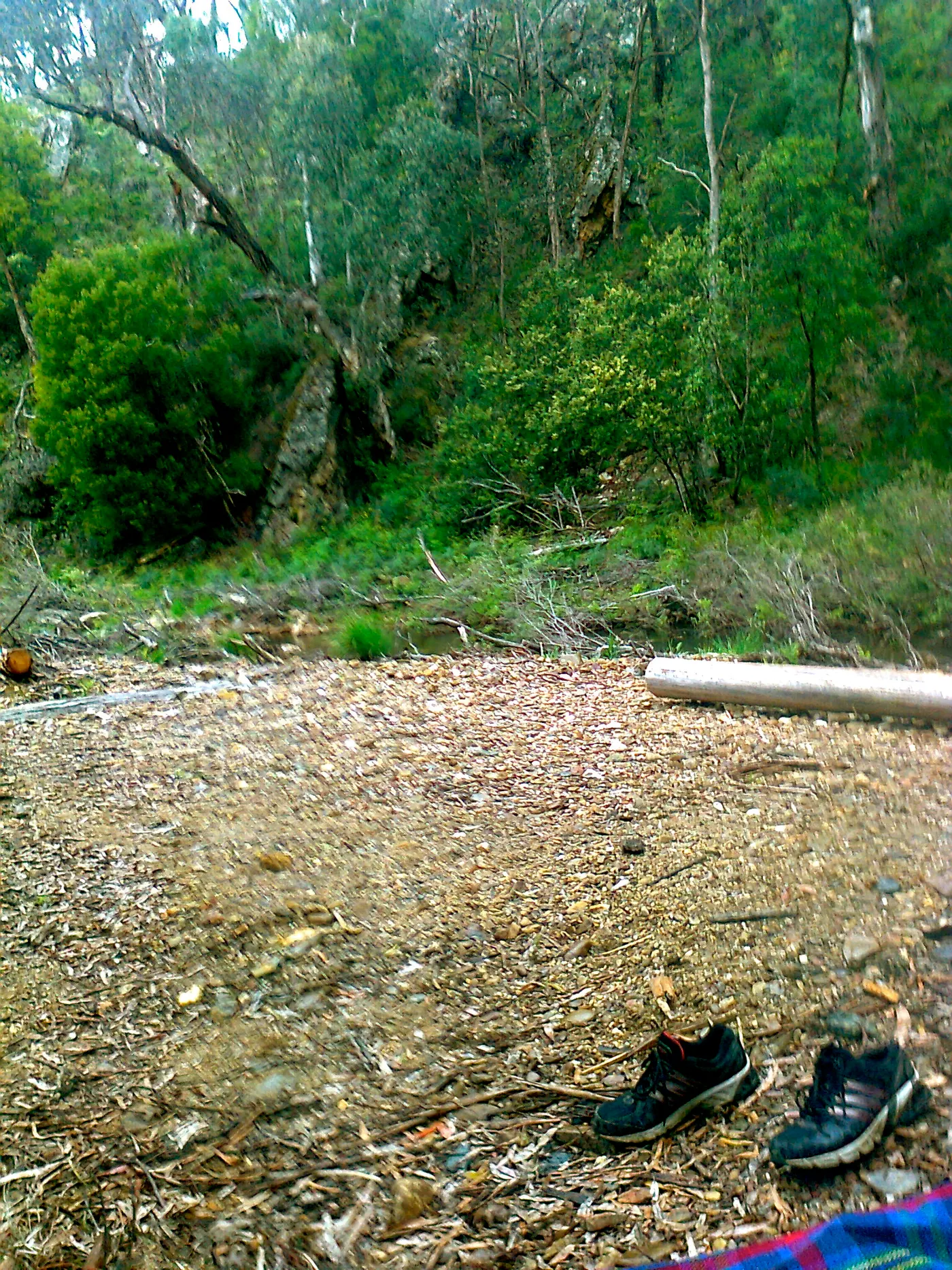
For a town base, Macedon Family Caravan Park is in Macedon and Bacchus Marsh Caravan Park is on the south side. For bush camping, Lerderderg State Park, between Bacchus Marsh and Blackwood, allows camping throughout the park, with named camps such as O'Briens Crossing near Blackwood, and west of Ballan there are smaller camps with a camp kitchen at Hunts Bridge.
What is there to do in Macedon with kids?
Hanging Rock is an old volcanic formation that rises 105 metres above the plain, and the setting of the novel and film Picnic at Hanging Rock. Paths climb to the summit, and koalas, wallabies and wedge-tailed eagles live in the reserve; the races run on New Year's Day and Australia Day. At Riddells Creek, Bush Minigolf is close by, and the Kyneton Museum, the Old Gisborne Court House and the Australian Gliding Museum at Parwan are within a short drive. Daylesford's Spa Country Railway is a little further west.
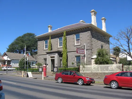
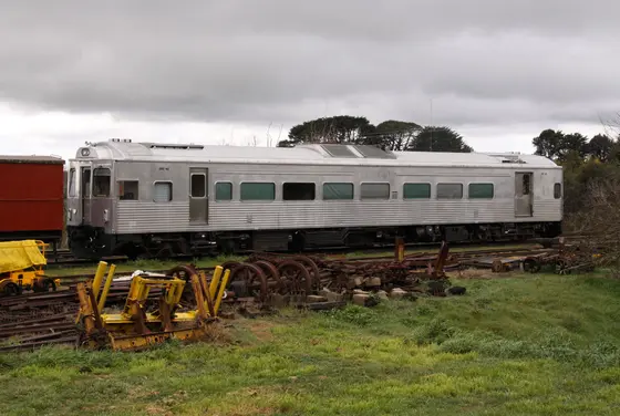
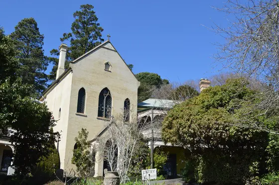
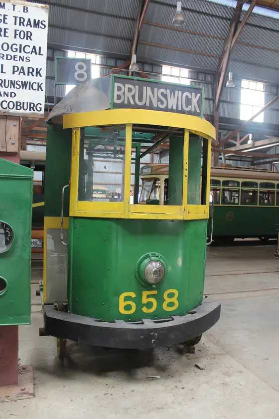
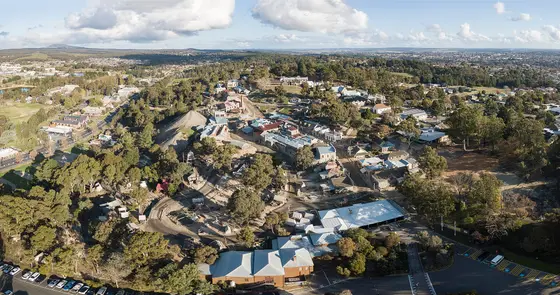
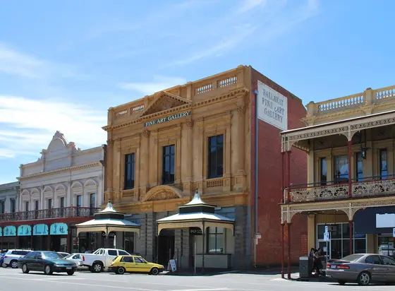
Tap a card for the full page. Every outing is on the map below too. Distances are in a straight line, so the drive is a little longer.
What are the best walks and waterfalls in Macedon?
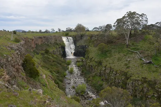
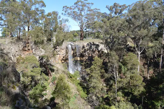
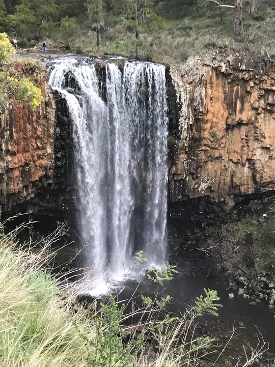
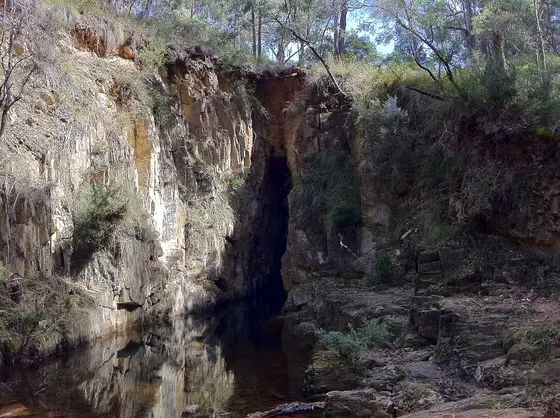
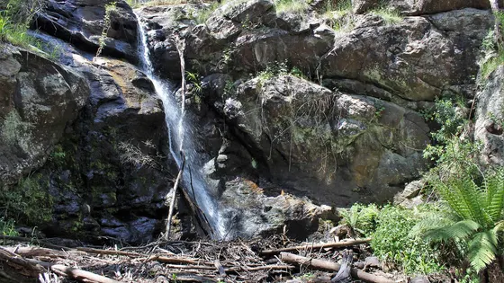
In Lerderderg State Park, 14,250 hectares on Wurundjeri country, the river has cut a gorge 300 metres deep, and there are short walks of 3.5 km or less as well as longer tracks. Around the ranges there are waterfalls such as Trentham Falls, Turitable Falls and Sailors Falls, and Lal Lal Falls is out towards Ballarat.
Are there powered sites in Macedon?
Yes. One campground here has powered sites confirmed: Phoenix Park. For the rest we are still confirming, so check with the park or holiday park before you book a powered site.
How far is Hanging Rock from Melbourne?
Hanging Rock is about 70 km north-west of Melbourne, near Mount Macedon, and Lerderderg State Park is about an hour's drive from the city. Pack warm clothes for the mountain in winter.
Facts from Wikipedia, "Macedon Ranges" (CC BY-SA 4.0), Wikipedia, "Hanging Rock, Victoria" (CC BY-SA 4.0) and Wikipedia, "Lerderderg State Park" (CC BY-SA 4.0).
OBriens Crossing Campground & Picnic Area · Photo: wanderingchina, CC BY-SA 3.0, via Wikimedia Commons
Map of campgrounds in Macedon
✓ Campgrounds
✓ Things to do
✓ Walks and nature
Entry tickets
Affiliate link: we may earn a commission at no extra cost to you.
Ballarat Wildlife Park
Sovereign Hill
More around VIC
Camping in Ballarat →
Camping in Bendigo Loddon →
Camping in the Central Murray →
Camping in Geelong and the Bellarine →
Camping in Gippsland →
Camping in Goulburn →
Camping in the Grampians →
Camping in the Great Ocean Road →
Camping in the High Country →
Camping in the Lakes →
Camping in the Mallee →
Camping in Melbourne →
16 campgrounds
Those with the most confirmed facilities first. A missing facility means nobody has confirmed it, not that it is absent.
Campground · Elaine, VIC
Hunts Bridge Camping Area
Tent sites · Caravan and RV sites · Campfires allowed
Hunts Bridge Camping Area is a campground in Elaine, VIC. OpenStreetMap records 4 facilities. Check availability and current conditions before you travel.
Campground · Ballan, VIC
Phoenix Park
Powered sites · Toilets · Drinking water
Phoenix Park is a caravan park in Ballan, VIC. OpenStreetMap records 3 facilities. Check availability and current conditions before you travel.
Campground · Blakeville, VIC
Carrolls Spring
Tent sites · Caravan and RV sites
Carrolls Spring is a campground in Blakeville, VIC. OpenStreetMap records 2 facilities. Check availability and current conditions before you travel.
Campground · Lauriston, VIC
Noonameena Scout Camp
Tent sites
Noonameena Scout Camp is a campground in Lauriston, VIC. OpenStreetMap records 1 facility. Check availability and current conditions before you travel.
Campground · Bacchus Marsh, VIC
Bacchus Marsh Caravan Park
No facilities confirmed yet.
Bacchus Marsh Caravan Park is a caravan park in Bacchus Marsh, VIC. Its facilities have not been confirmed. Check availability and current conditions before you travel.
Campground · Mount Wallace, VIC
Boar Gully Camp Ground
No facilities confirmed yet.
Boar Gully Camp Ground is a campground in Mount Wallace, VIC. Its facilities have not been confirmed. Check availability and current conditions before you travel.
Campground · Ballan, VIC
Caledonian Caravan Park
No facilities confirmed yet.
Caledonian Caravan Park is a caravan park in Ballan, VIC. Its facilities have not been confirmed. Check availability and current conditions before you travel.
Campground · Riddells Creek, VIC
Cub Camping Area
No facilities confirmed yet.
Cub Camping Area is a campground in Riddells Creek, VIC. Its facilities have not been confirmed. Check availability and current conditions before you travel.
Campground · Glenmore, VIC
Lady Northcote Recreation Camp
No facilities confirmed yet.
Lady Northcote Recreation Camp is a campground in Glenmore, VIC. Its facilities have not been confirmed. Check availability and current conditions before you travel.
Campground · Myrniong, VIC
Lake Dewar Lodge YMCA
No facilities confirmed yet.
Lake Dewar Lodge YMCA is a campground in Myrniong, VIC. Its facilities have not been confirmed. Check availability and current conditions before you travel.
Campground · Lal Lal, VIC
Lal Lal picnic area
No facilities confirmed yet.
Lal Lal picnic area is a campground in Lal Lal - Bungal H.A. near Lal Lal, VIC, listed by Parks Victoria (2016 listing). Check availability and current conditions before you travel.
Campground · Macedon, VIC
Macedon Family Caravan Park
No facilities confirmed yet.
Macedon Family Caravan Park is a caravan park in Macedon, VIC. Its facilities have not been confirmed. Check availability and current conditions before you travel.
Campground · Blackwood, VIC
Margarets Corner
No facilities confirmed yet.
Margarets Corner is a campground near Blackwood, VIC. OpenStreetMap records 0 facilities. Check availability and current conditions before you travel.
Campground · Blackwood, VIC
OBriens Crossing Campground & Picnic Area
No facilities confirmed yet.
OBriens Crossing Campground & Picnic Area is a campground in Lerderderg State Park near Blackwood, VIC, listed by Parks Victoria (2016 listing). Check availability and current conditions before you travel.
Campground · Riddells Creek, VIC
Rowallan Scout Camp
No facilities confirmed yet.
Rowallan Scout Camp is a campground in Riddells Creek, VIC. Its facilities have not been confirmed. Check availability and current conditions before you travel.
Campground · Riddells Creek, VIC
Treetops Scout Camp
No facilities confirmed yet.
Treetops Scout Camp is a campground in Riddells Creek, VIC. Its facilities have not been confirmed. Check availability and current conditions before you travel.
Other regions in Victoria
Region boundary: ABS ASGS Edition 3 Tourism Regions 2021 (Tourism Research Australia), CC BY 4.0. Campgrounds and facilities from OpenStreetMap contributors (ODbL), the operators’ own listings, and the state park services’ open data: © State Government of NSW and NSW Department of Climate Change, Energy, the Environment and Water 2017 (CC BY 4.0); contains data sourced from the Department of Energy, Environment and Climate Action, Victoria (CC BY 4.0); © State of Tasmania, Parks and Wildlife Service (CC BY 3.0 AU); Main Roads Western Australia road stopping places (CC BY 4.0).