
Camping in the Yarra Valley and the Dandenong Ranges
12 campgrounds · 1 with powered sites · 1 with a dump point
The Yarra Valley and the Dandenongs are an easy drive east of Melbourne, green hills and vineyards with tall mountain ash forest in the ranges. The Yarra River rises in the ranges about 240 km east of the city, and in the Dandenongs, Puffing Billy, opened in 1900, still steams 25 km from Belgrave to Gembrook.
Where is the best place to camp in the Yarra Valley and the Dandenong Ranges?
There is no camping inside Dandenong Ranges National Park, so the campgrounds sit in the valley towns and the forests around them. In the valley, Warburton Holiday Park is at Warburton, where the Yarra runs through town, and there are parks at Lilydale and Yarra Junction. For bush camping, the Upper Yarra Reservoir Park camping area near Reefton has open spaces and gas barbecues, and in the south, Bunyip State Park has free camping at Nash Creek.
What is there to do in the Yarra Valley and the Dandenong Ranges with kids?
At Healesville, Healesville Sanctuary shows native animals in a semi-open setting and breeds platypus, and the Yarra Valley Railway runs rides from Healesville on weekends and school holidays. In Warburton, Warburton Water World is close to the holiday park, and the Lilydale to Warburton Rail Trail runs about 40 km for walking and cycling. In Lilydale, Lillydale Lake has wetlands and playgrounds, and the Yarra Ranges Regional Museum is in town.
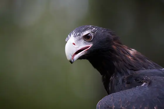
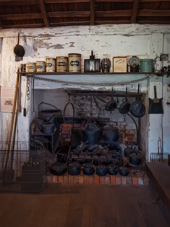
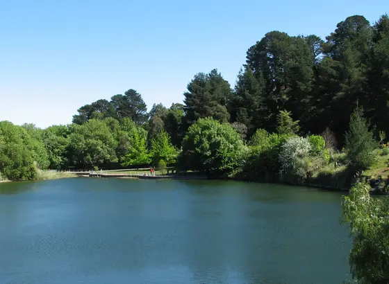
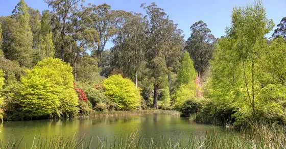
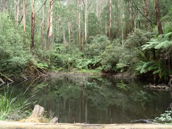
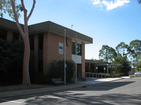
Tap a card for the full page. Every outing is on the map below too. Distances are in a straight line, so the drive is a little longer.
What are the best walks and waterfalls in the Yarra Valley and the Dandenong Ranges?
At Upper Yarra Reservoir Park, the Fern Gully Track is a 20-minute loop through old-growth forest on boardwalks and stairs; the tracks are narrow and slippery when wet, and dogs aren't allowed. In Bunyip State Park, the Lawsons Falls Circuit leads to the park's only waterfall, and the Dandenongs' southern gullies hold ferny rainforest under the mountain ash, with waterfalls such as Britannia Creek Falls and Don Falls around the valley.
Do you need to book campsites in the Yarra Valley and the Dandenong Ranges?
Upper Yarra Reservoir Park and Nash Creek are booked through Parks Victoria. Parks Victoria advises avoiding Upper Yarra on catastrophic fire danger days or in high winds.
Are there powered sites in the Yarra Valley and the Dandenong Ranges?
Yes. One campground here has powered sites confirmed: Lilydale Pine Hill Caravan Park. For the rest we are still confirming, so check with the park or holiday park before you book a powered site.
How far is the Yarra Valley from Melbourne?
Lilydale is about 34 km east of Melbourne, the Dandenong Ranges about 35 km, Yarra Junction about 55 km, Healesville 64 km and Warburton 76 km. Pakenham, on the Bunyip side, is 53 km south-east.
Facts from Wikipedia, "Yarra Valley" (CC BY-SA 4.0), Wikipedia, "Dandenong Ranges" (CC BY-SA 4.0), Wikipedia, "Puffing Billy Railway" (CC BY-SA 4.0), Wikipedia, "Healesville, Victoria" (CC BY-SA 4.0), Wikipedia, "Warburton, Victoria" (CC BY-SA 4.0), Parks Victoria, "Upper Yarra Reservoir Park" and Parks Victoria, "Bunyip State Park".
Map of campgrounds in the Yarra Valley and the Dandenong Ranges
✓ Campgrounds
✓ Things to do
✓ Walks and nature
Entry tickets
Affiliate link: we may earn a commission at no extra cost to you.
Gumbuya World
Moonlit Sanctuary
More around VIC
Camping in Ballarat →
Camping in Bendigo Loddon →
Camping in the Central Murray →
Camping in Geelong and the Bellarine →
Camping in Gippsland →
Camping in Goulburn →
Camping in the Grampians →
Camping in the Great Ocean Road →
Camping in the High Country →
Camping in the Lakes →
Camping in Macedon →
Camping in the Mallee →
12 campgrounds
Those with the most confirmed facilities first. A missing facility means nobody has confirmed it, not that it is absent.
Campground · Lilydale, VIC
Lilydale Pine Hill Caravan Park
Powered sites · Dump point · Wi-Fi
Lilydale Pine Hill Caravan Park is a caravan park in Lilydale, VIC. OpenStreetMap records 3 facilities. Check availability and current conditions before you travel.
Campground · Reefton, VIC
Camping Area
No facilities confirmed yet.
Camping Area is a campground in Upper Yarra Reservoir Park near Reefton, VIC, listed by Parks Victoria (2016 listing). Check availability and current conditions before you travel.
Campground · Healesville, VIC
Candlebark Farm
No facilities confirmed yet.
Candlebark Farm is a campground in Healesville, VIC. Its facilities have not been confirmed. Check availability and current conditions before you travel.
Campground · Beaconsfield Upper, VIC
Dallas Brooks Scout Park
No facilities confirmed yet.
Dallas Brooks Scout Park is a campground in Beaconsfield Upper, VIC. Its facilities have not been confirmed. Check availability and current conditions before you travel.
Campground · Yarra Junction, VIC
Doon Reserve Caravan Park
No facilities confirmed yet.
Doon Reserve Caravan Park is a caravan park in Yarra Junction, VIC. Its facilities have not been confirmed. Check availability and current conditions before you travel.
Campground · Don Valley, VIC
Illalangi Scout Camp
No facilities confirmed yet.
Illalangi Scout Camp is a campground in Don Valley, VIC. Its facilities have not been confirmed. Check availability and current conditions before you travel.
Campground · Gembrook, VIC
Nash Creek Designated Camp Ground Sites
No facilities confirmed yet.
Nash Creek Designated Camp Ground Sites is a campground in Bunyip State Park near Gembrook, VIC, listed by Parks Victoria (2016 listing). Check availability and current conditions before you travel.
Campground · Pakenham, VIC
Pakenham Caravan Park
No facilities confirmed yet.
Pakenham Caravan Park is a caravan park in Pakenham, VIC. Its facilities have not been confirmed. Check availability and current conditions before you travel.
Campground · Gembrook, VIC
Scout Loop Track Campground
No facilities confirmed yet.
Scout Loop Track Campground is a campground in Yellingbo, VIC. Its facilities have not been confirmed. Check availability and current conditions before you travel.
Campground · Warburton, VIC
Warburton Holiday Park
No facilities confirmed yet.
Warburton Holiday Park is a caravan park in Warburton, VIC. Its facilities have not been confirmed. Check availability and current conditions before you travel.
Campground · Warburton, VIC
Warburton Trails Scout Adventure Centre
No facilities confirmed yet.
Warburton Trails Scout Adventure Centre is a campground in Warburton, VIC. Its facilities have not been confirmed. Check availability and current conditions before you travel.
Campground · Wesburn, VIC
Wesburn Camp
No facilities confirmed yet.
Wesburn Camp is a campground in Wesburn, VIC. Its facilities have not been confirmed. Check availability and current conditions before you travel.
Other regions in Victoria
Region boundary: ABS ASGS Edition 3 Tourism Regions 2021 (Tourism Research Australia), CC BY 4.0. Campgrounds and facilities from OpenStreetMap contributors (ODbL), the operators’ own listings, and the state park services’ open data: © State Government of NSW and NSW Department of Climate Change, Energy, the Environment and Water 2017 (CC BY 4.0); contains data sourced from the Department of Energy, Environment and Climate Action, Victoria (CC BY 4.0); © State of Tasmania, Parks and Wildlife Service (CC BY 3.0 AU); Main Roads Western Australia road stopping places (CC BY 4.0).