
Things to do with kids in Hamilton & the Western Grampians
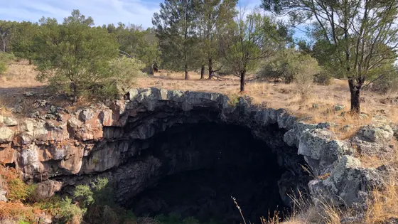
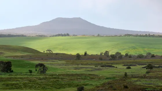
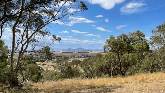
This corner of Victoria was shaped by volcanoes, and kids can see it everywhere. At Byaduk, short trails lead to the edge of huge lava tubes, so keep little ones close. Near Penshurst, a track goes down into the crater of Mount Rouse, and stairs climb to a lookout facing the Grampians. Older kids can climb Mount Napier, one of Victoria's youngest volcanoes.
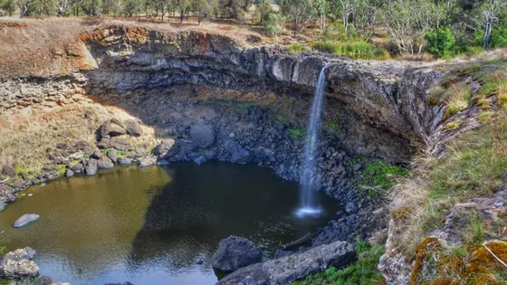
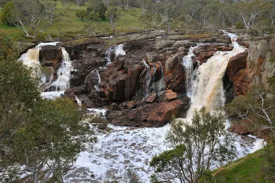
West of Hamilton, a platform looks over Wannon Falls, which pours over old lava into a deep pool. Nearby Nigretta Falls has stairs down to the base and a picnic ground at the top. Both are best after winter or spring rain.
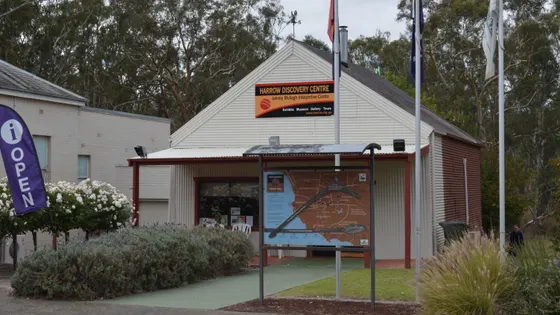
In town, the Botanic Gardens have a playground and bird enclosures. Fit older kids can climb Mount Abrupt above Dunkeld. In Harrow, the Discovery Centre tells the story of the Aboriginal cricket team that toured England in 1868.
62 family outings, waterfalls and walks across the region, sorted by drive time from Hamilton. Choose your suburb at the top to sort from where you are staying.
✓ Everything
Free · 38
Top things to do in Western Grampians
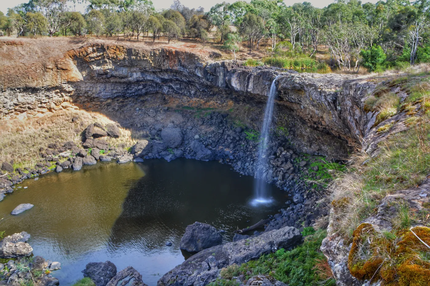
Watch Wannon Falls pour into its pool
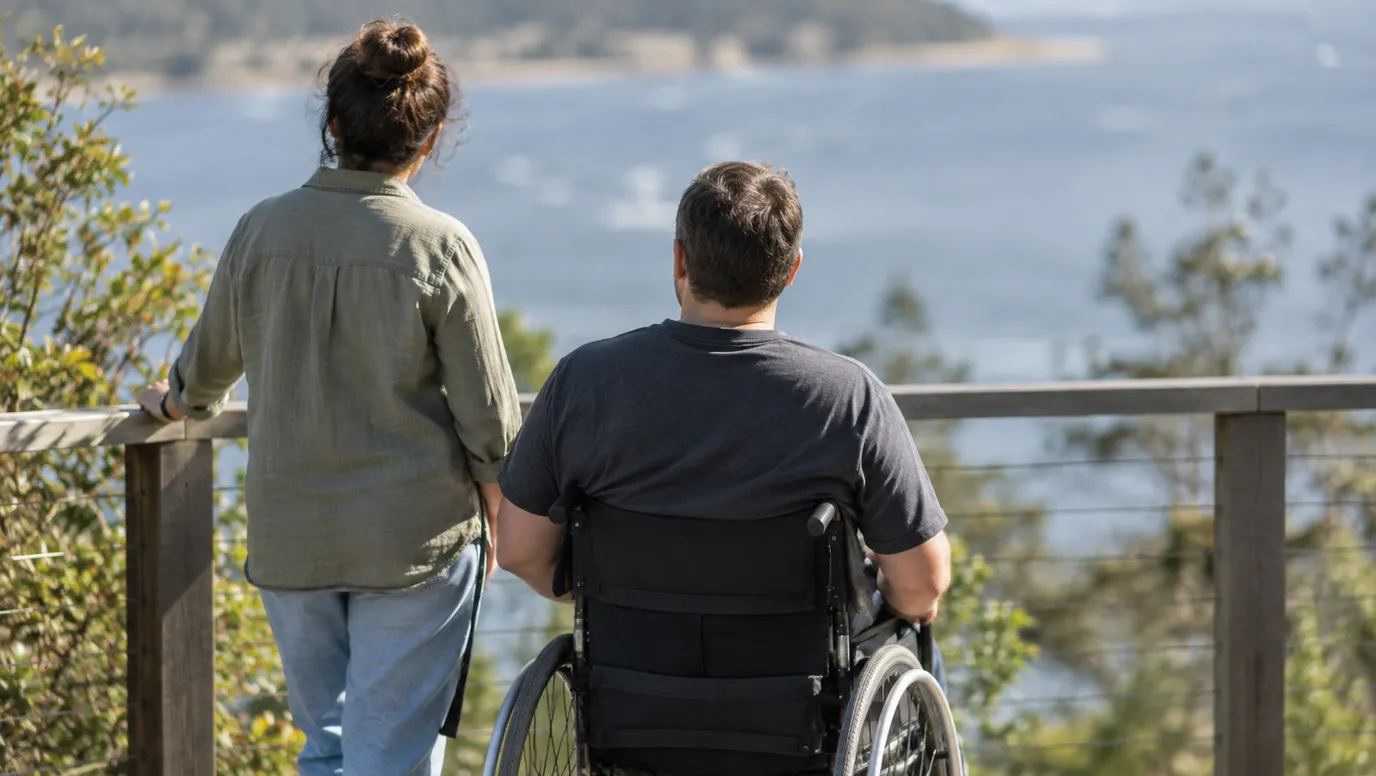
Wannon Falls drops 30m over hardened lava into a deep plunge pool. The turn-off is 19km west of Hamilton, and a cantilevered platform gives an easy view. It flows best after winter or spring rain, and there are toilets, barbecues and a free campground.
about 25 min
Waterfall · Wannon Falls
Photo: John Morton from Adelaide, CC BY-SA 2.0
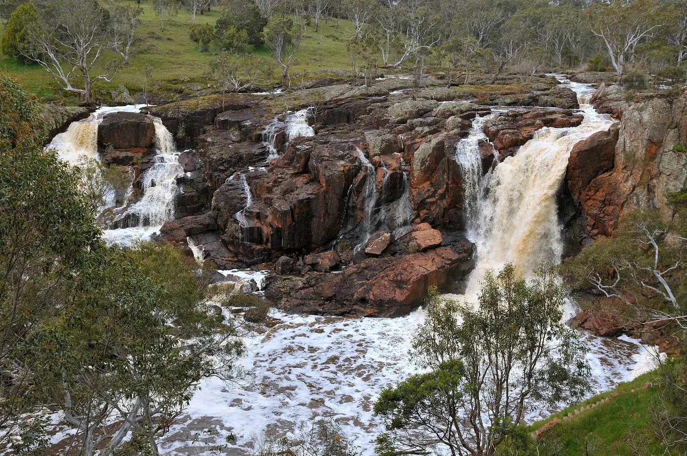
Take the stairs down at Nigretta Falls
Nigretta Falls is a volcanic waterfall on the Wannon River, a short detour off the Glenelg Highway. An observation deck looks over it from the picnic ground, and stairs lead down to the base. There are electric barbecues, toilets and fishing spots, all reachable in a 2WD.
about 20 min
Waterfall · Nigretta Falls
Photo: Mikeybear, CC BY-SA 3.0
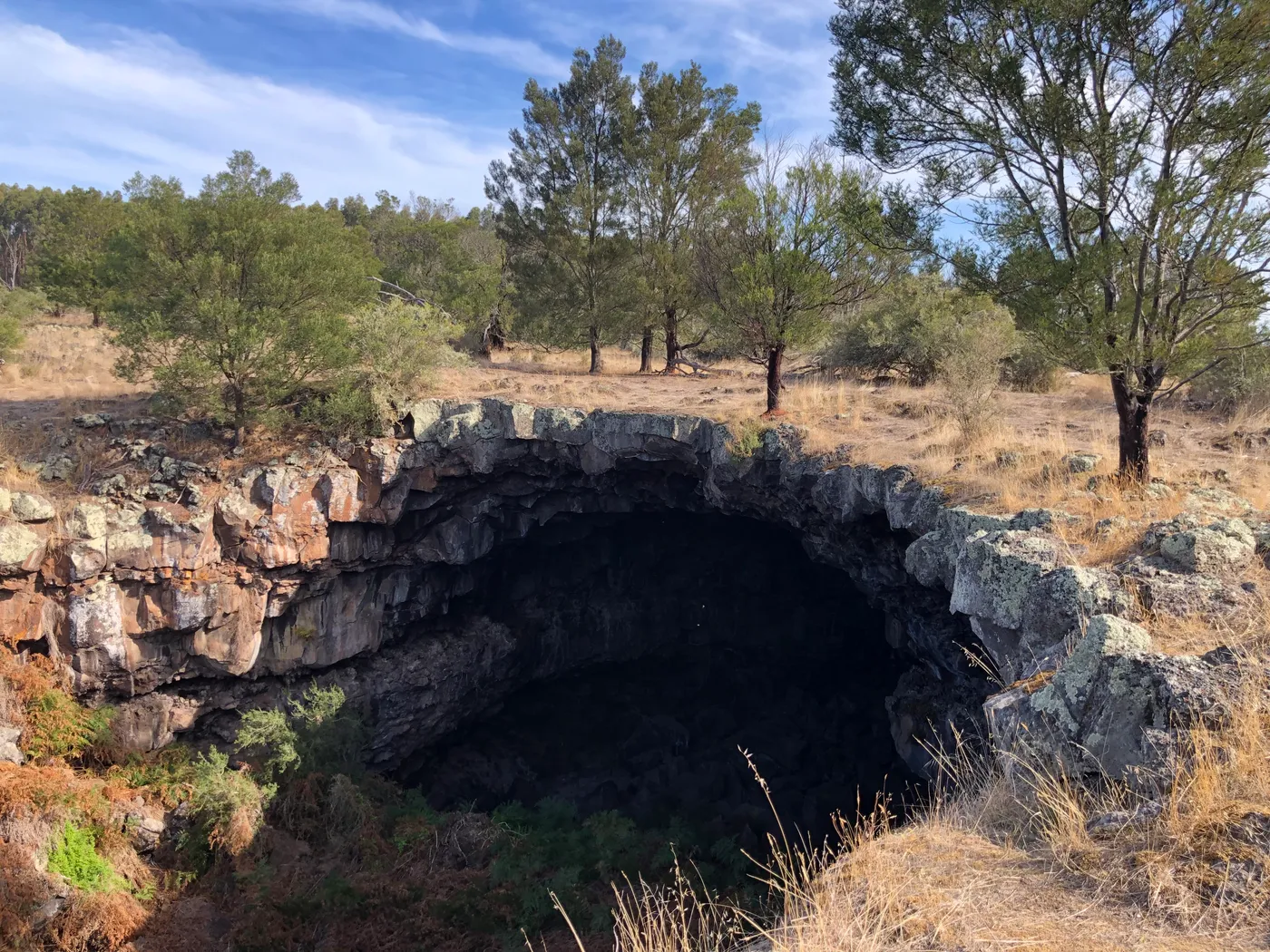
Peer into lava caves at Byaduk
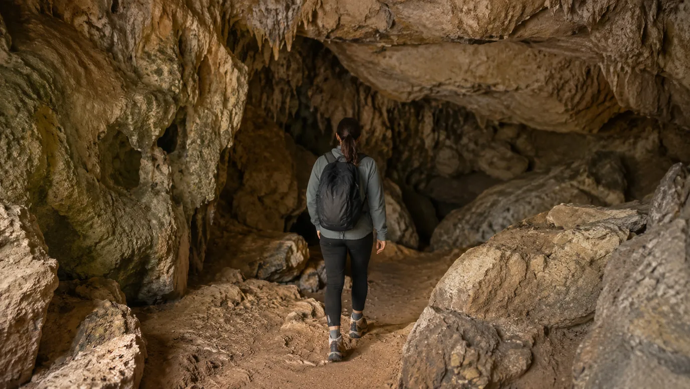
The Byaduk Caves are tubes left when lava from Mount Napier hardened on top and kept flowing underneath. Short trails from the car park lead to viewing areas above them. The biggest is 18m wide and 10m high, so keep kids close at the edges.
about 25 min
Cave · Byaduk Caves
Photo: 1geel0ng1, CC BY 4.0
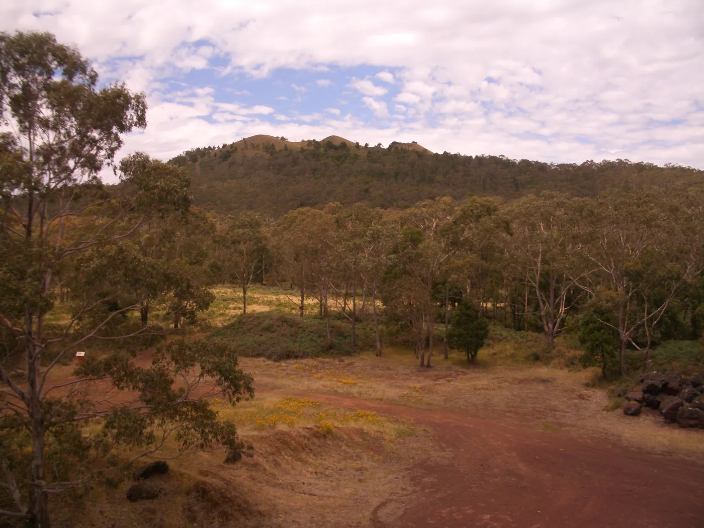
Climb Victoria's youngest volcano
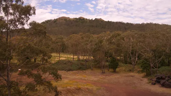
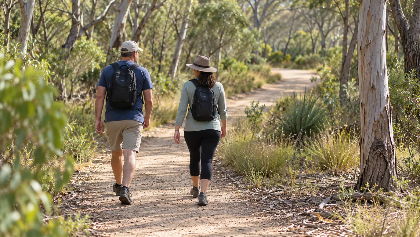
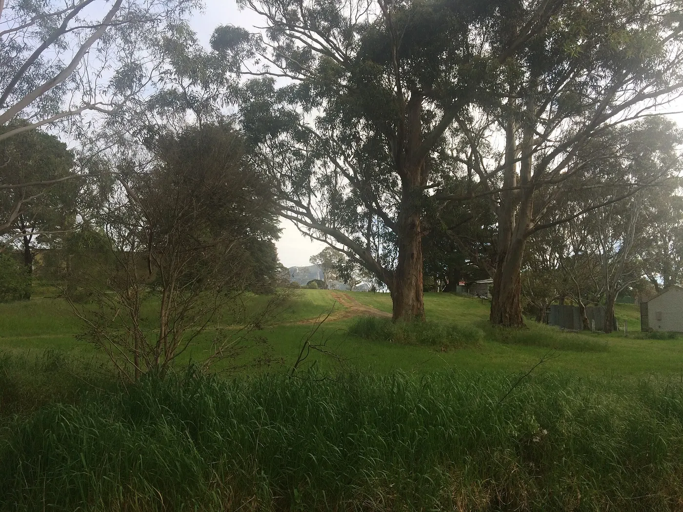
Mount Napier (Tapoc), 20km south of Hamilton, last erupted around 30,000 years ago. The summit track is just under 4km return, through manna gums and blackwood forest. From the top you can see the Grampians and, on a clear day, the ocean; park roads are unsealed.
about 25 min
Walk · Mount Napier (Tapoc)
Photo: Enlil Ninlil2, CC BY 3.0
Look into the crater at Mount Rouse
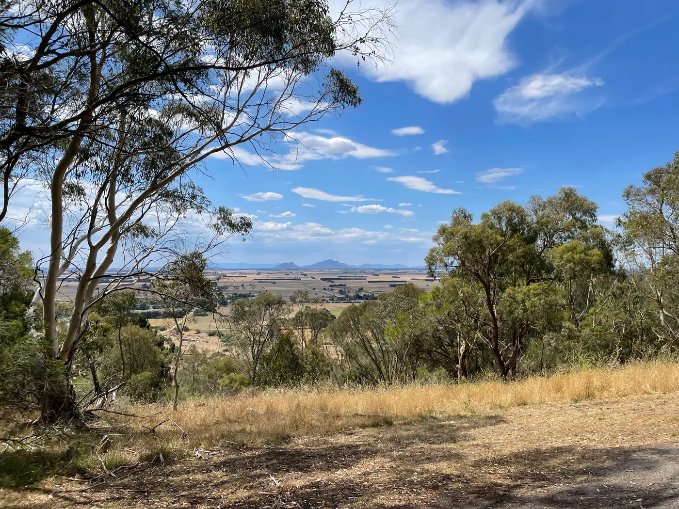
Collorrer (Mount Rouse) is the extinct volcano beside Penshurst, twenty minutes east of Hamilton. A track leads down to the crater lake, and stairs climb to a summit platform facing the Grampians. The picnic area has an electric barbecue in an art-covered shelter, plus toilets.
about 35 min
Lookout · Collorrer (Mount Rouse)
Photo: Quincepaste, CC BY-SA 4.0
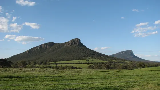
Tackle Mount Abrupt above Dunkeld
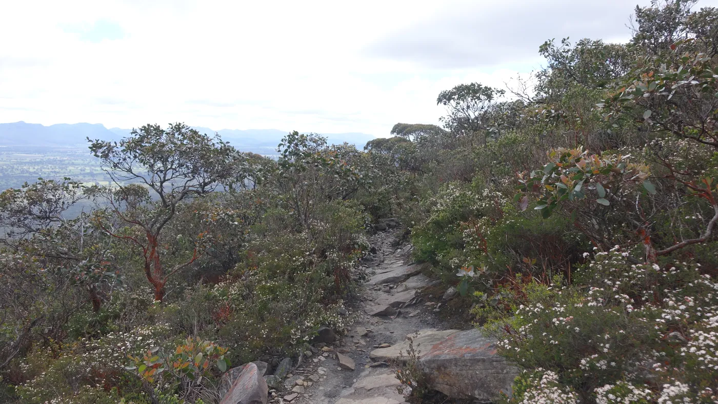
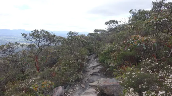
Mud-Dadjug (Mount Abrupt) is a strenuous 6.5km walk over rock slabs to a summit above Dunkeld. It suits fit older kids, with views to the Serra Range and wedge-tailed eagles overhead. Spring to early summer is the best time to go.
about 40 min
Lookout · Mud-Dadjug (Mount Abrupt)
Photo: Neb, CC BY-SA 4.0
Play in Hamilton's Botanic Gardens
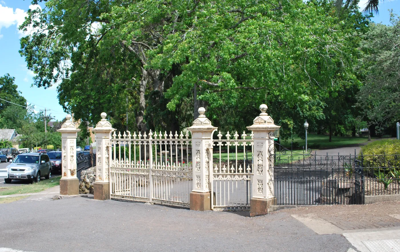
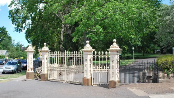
William Guilfoyle, curator of Melbourne's Botanic Gardens, drew up the plans for these gardens from 1881. Kids will find a playground, animal and bird enclosures, fountains and big lawns. They open every day, with barbecues, picnic shelters and toilets.
under 5 min
Gardens · Hamilton Botanic Gardens
Photo: Mattinbgn, CC BY-SA 3.0
Meet the 1868 cricket team in Harrow
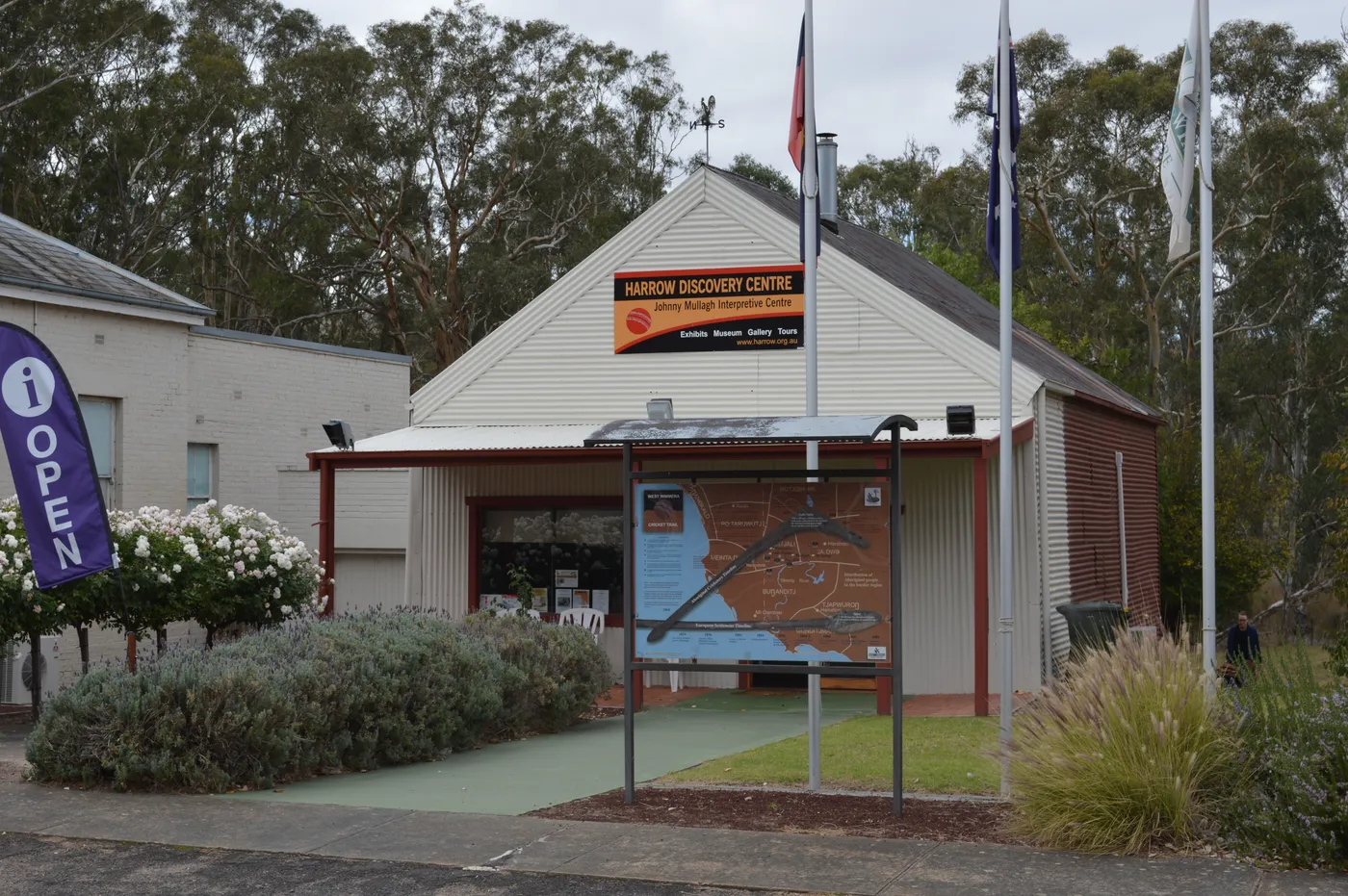
In 1868, a team of Aboriginal stock workers from south-west Victoria toured England as Australia's first international touring sports team. The Harrow Discovery Centre tells their story, especially that of star all-rounder Johnny Mullagh. The Mullagh Medal, awarded at the Boxing Day Test, is on display.
about 1 hr 15
Museum · Harrow Discovery Centre
Photo: Mattinbgn, CC BY 3.0
Everything on the map
Nearest first, from Hamilton
Animals
Over 1½ hours
from Hamilton
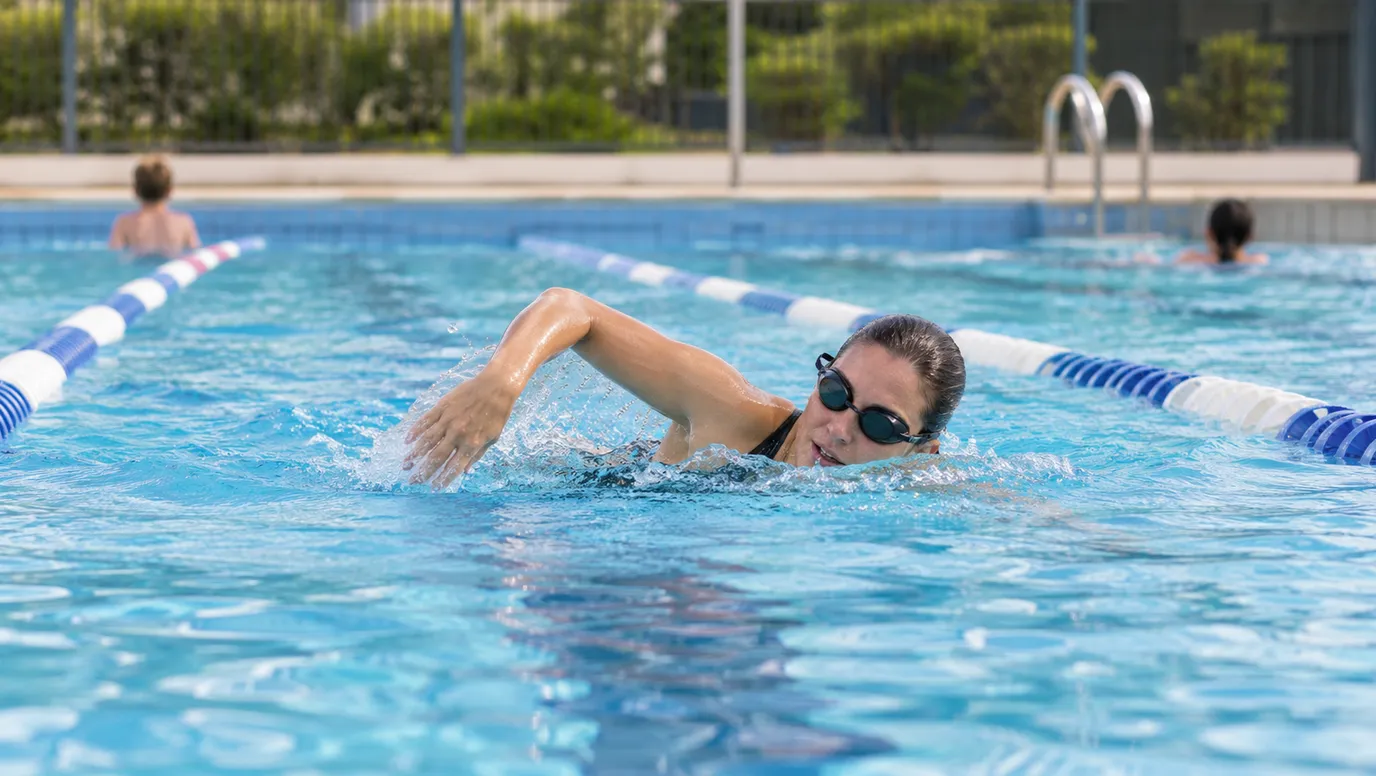
Waterfalls, lakes and swimming
Over 30 minutes
from Hamilton
Over 1½ hours
from Hamilton

Walks and lookouts

Over 30 minutes
from Hamilton
Over 1½ hours
from Hamilton

Big playgrounds
Over 1½ hours
from Hamilton

Play
Over 1½ hours
from Hamilton



Museums and history



Over 30 minutes
from Hamilton
Over 1½ hours
from Hamilton
Libraries, cinemas and theatres


Over 1½ hours
from Hamilton


Gardens and science
Over 30 minutes
from Hamilton
Over 1½ hours
from Hamilton
Drive times are estimated from the distance, so treat them as a guide. Tap a card for the full page.
Region boundary: ABS Tourism Regions 2021 (Tourism Research Australia), CC BY 4.0. Outings from OpenStreetMap contributors (ODbL) and venues' own listings; nature spots from OpenStreetMap and park services.